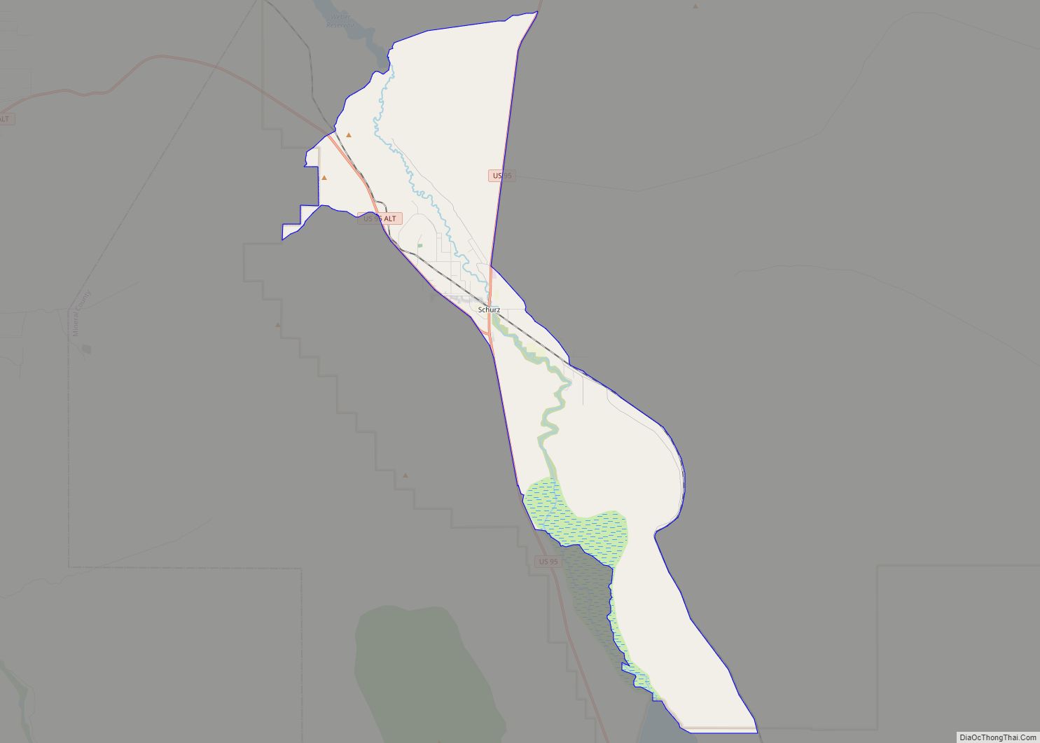
Schurz is a census-designated place (CDP) in Mineral County, Nevada, United States. The population was 658 at the 2010 census. It is located on the Walker River Indian Reservation. It is the burial place of Wovoka, the Paiute messiah who originated the Ghost Dance movement.
| Name: | Schurz CDP |
|---|---|
| LSAD Code: | 57 |
| LSAD Description: | CDP (suffix) |
| State: | Nevada |
| County: | Mineral County |
| Founded: | 1891; 132 years ago (1891) |
| Elevation: | 4,127 ft (1,258 m) |
| Total Area: | 11.46 sq mi (29.68 km²) |
| Land Area: | 11.24 sq mi (29.10 km²) |
| Water Area: | 0.22 sq mi (0.57 km²) |
| Total Population: | 656 |
| Population Density: | 58.38/sq mi (22.54/km²) |
| ZIP code: | 89427 |
| Area code: | 775 |
| FIPS code: | 3265400 |
| GNISfeature ID: | 0858175 |
| Website: | www.nevadasilvertrails.com/Virtual_Tour.html |
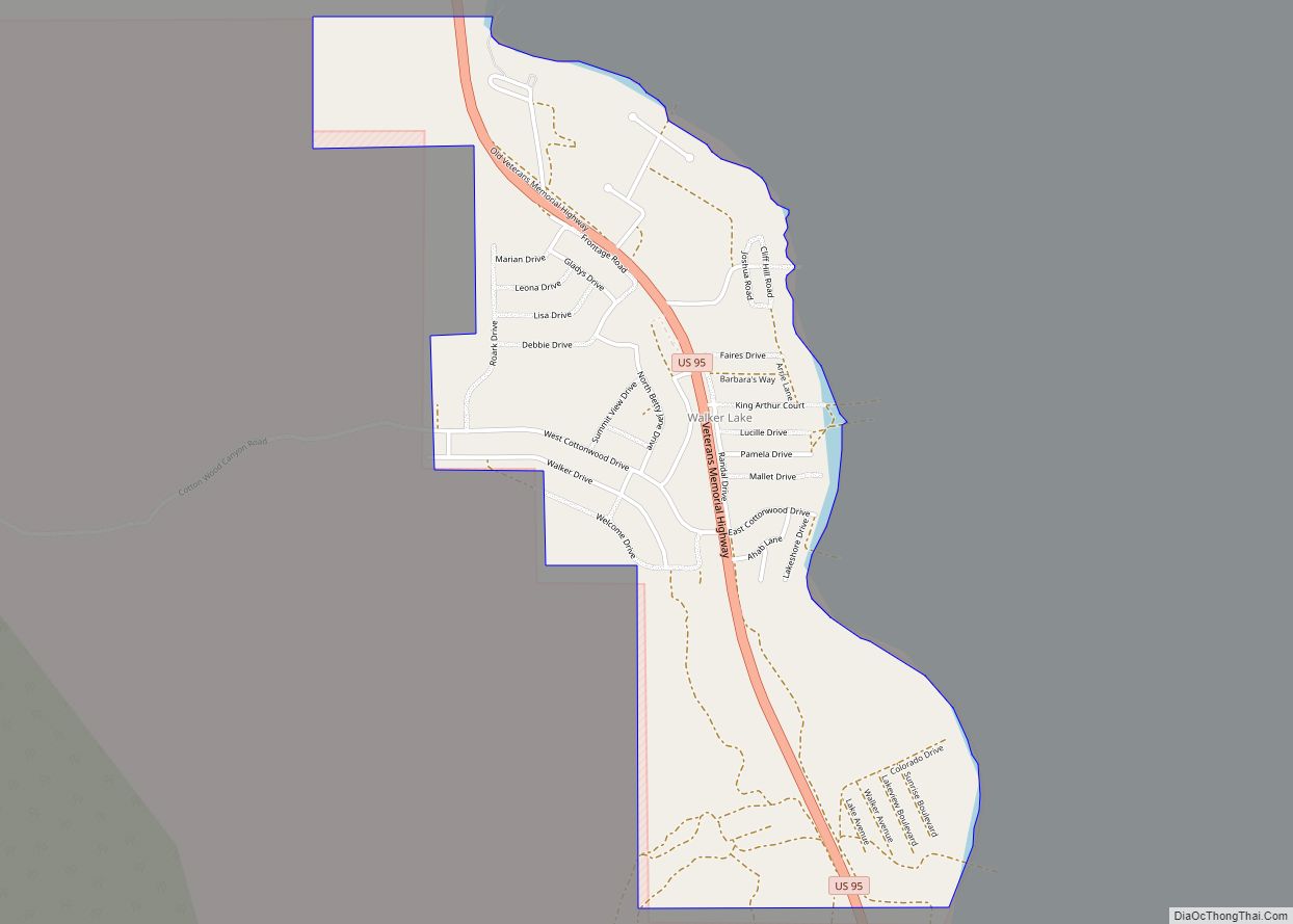
Online Interactive Map
Click on ![]() to view map in "full screen" mode.
to view map in "full screen" mode.
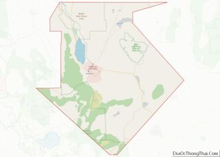
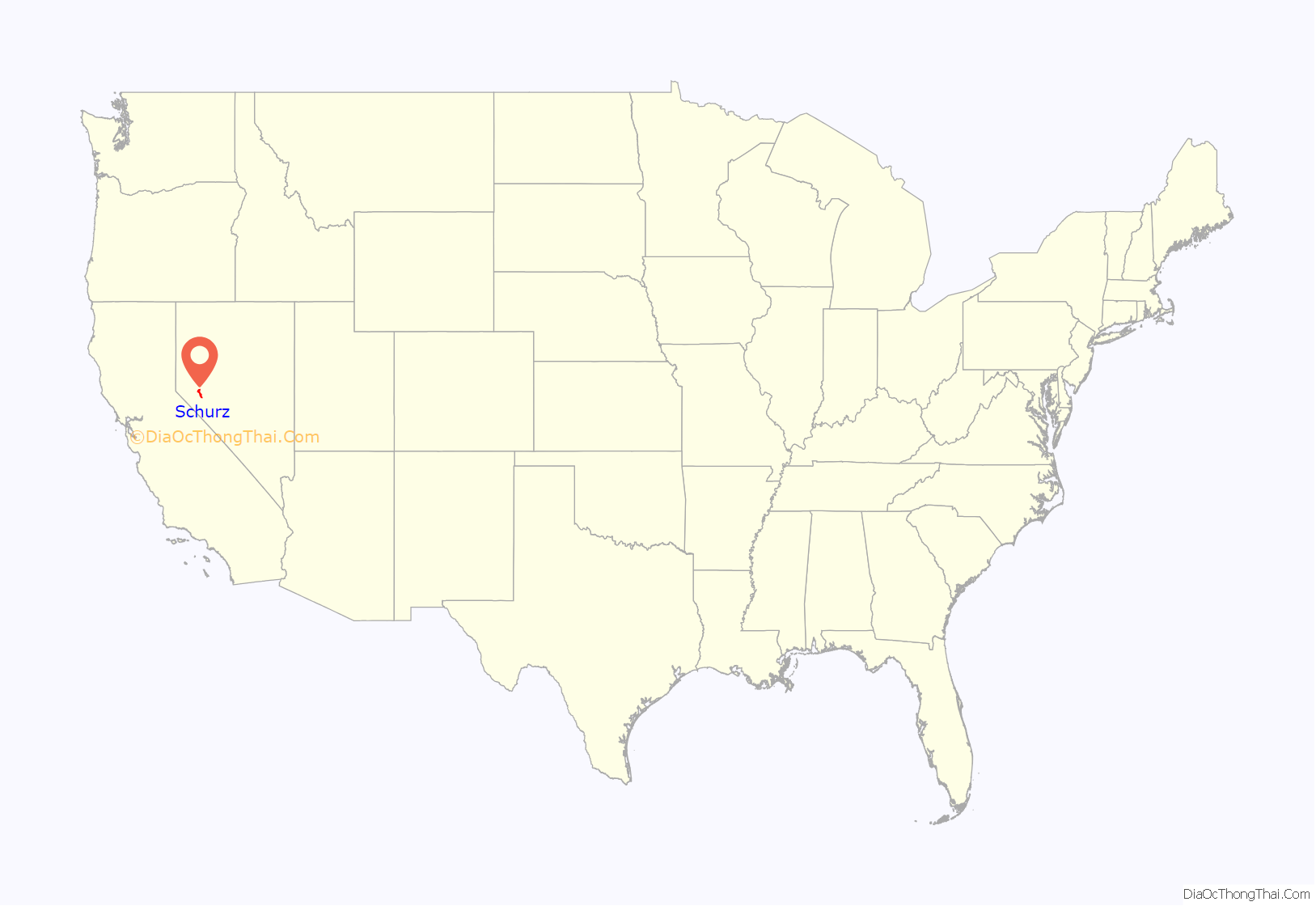
Schurz location map. Where is Schurz CDP?
History
Schurz was founded in 1891. The town was named after Secretary of the Interior Carl Schurz. A post office has been in operation at Schurz since 1891.
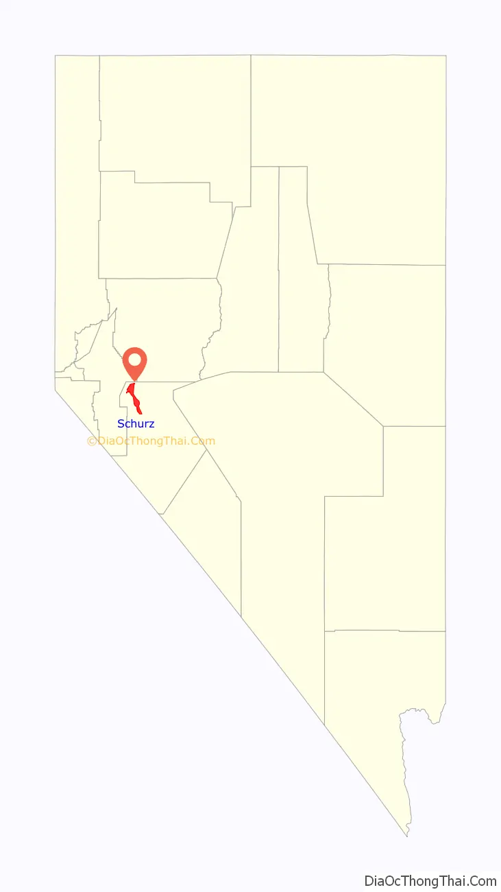
Schurz Road Map
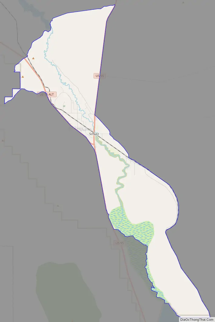
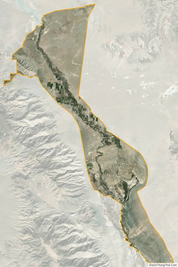
Schurz city Satellite Map
Geography
Schurz is located at the junction of U.S. Route 95 and U.S. Route 95 Alternate.
According to the United States Census Bureau, the CDP has a total area of 60.5 square miles (157 km), all of it land.
See also
Map of Nevada State and its subdivision: Map of other states:- Alabama
- Alaska
- Arizona
- Arkansas
- California
- Colorado
- Connecticut
- Delaware
- District of Columbia
- Florida
- Georgia
- Hawaii
- Idaho
- Illinois
- Indiana
- Iowa
- Kansas
- Kentucky
- Louisiana
- Maine
- Maryland
- Massachusetts
- Michigan
- Minnesota
- Mississippi
- Missouri
- Montana
- Nebraska
- Nevada
- New Hampshire
- New Jersey
- New Mexico
- New York
- North Carolina
- North Dakota
- Ohio
- Oklahoma
- Oregon
- Pennsylvania
- Rhode Island
- South Carolina
- South Dakota
- Tennessee
- Texas
- Utah
- Vermont
- Virginia
- Washington
- West Virginia
- Wisconsin
- Wyoming