Hickory is a North Carolina city located approximately 60 miles (97 km) northwest of Charlotte. Its population in the 2020 census was 43,490. Primarily located in Catawba County, its formal boundaries extend into Burke and Caldwell counties. Hickory is the principal city of the Hickory–Lenoir–Morganton Metropolitan Statistical Area, which had a population of 365,276 in the 2020 census.
In 2014, Reader’s Digest named the Hickory metro area as the 10th best place to live and raise a family in the United States. Forbes named the Hickory-Lenoir-Morganton MSA the third best MSA in the country for business cost. Smart Growth America, however, identified the Hickory MSA as being the country’s most sprawling metro area in 2014.
| Name: | Hickory city |
|---|---|
| LSAD Code: | 25 |
| LSAD Description: | city (suffix) |
| State: | North Carolina |
| County: | Burke County, Caldwell County, Catawba County |
| Incorporated: | 1870 |
| Elevation: | 1,188 ft (362 m) |
| Land Area: | 31.04 sq mi (80.40 km²) |
| Water Area: | 0.10 sq mi (0.26 km²) |
| Population Density: | 1,401.05/sq mi (540.95/km²) |
| ZIP code: | 28601-28603 |
| Area code: | 828 |
| FIPS code: | 3731060 |
| GNISfeature ID: | 0986686 |
| Website: | www.hickorync.gov |
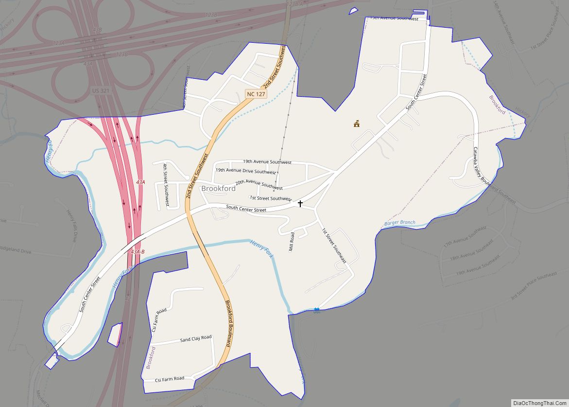
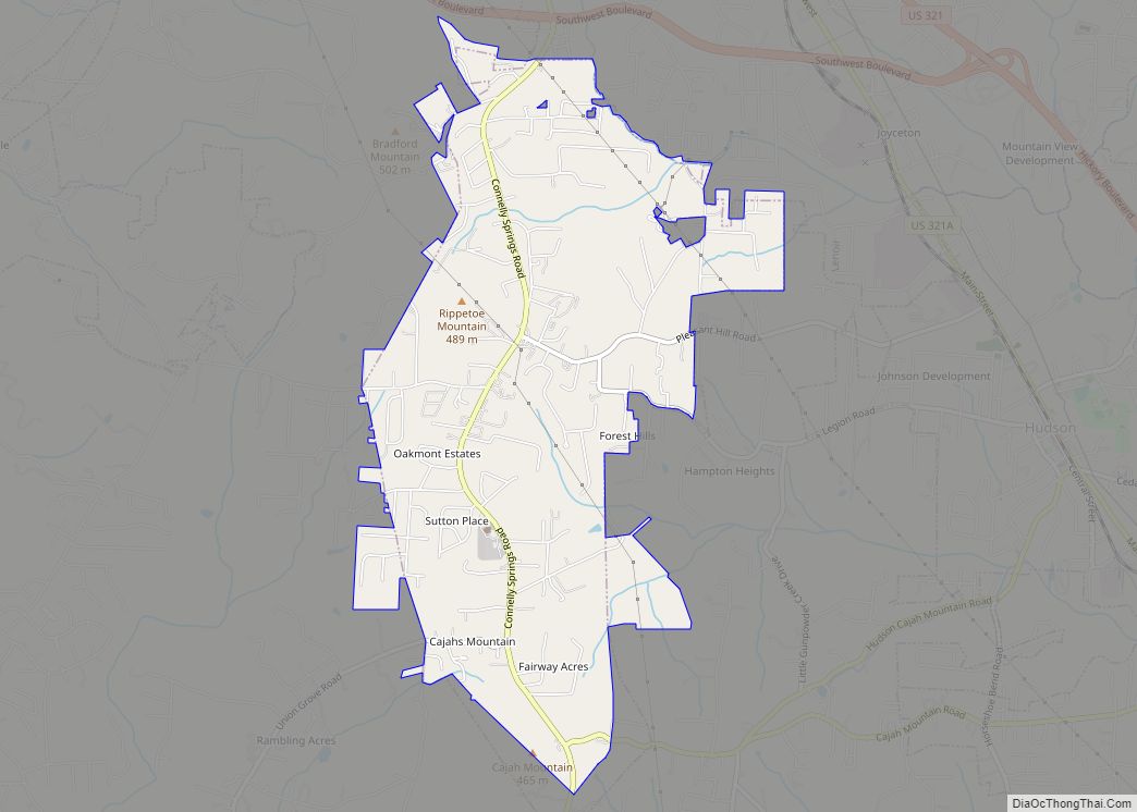
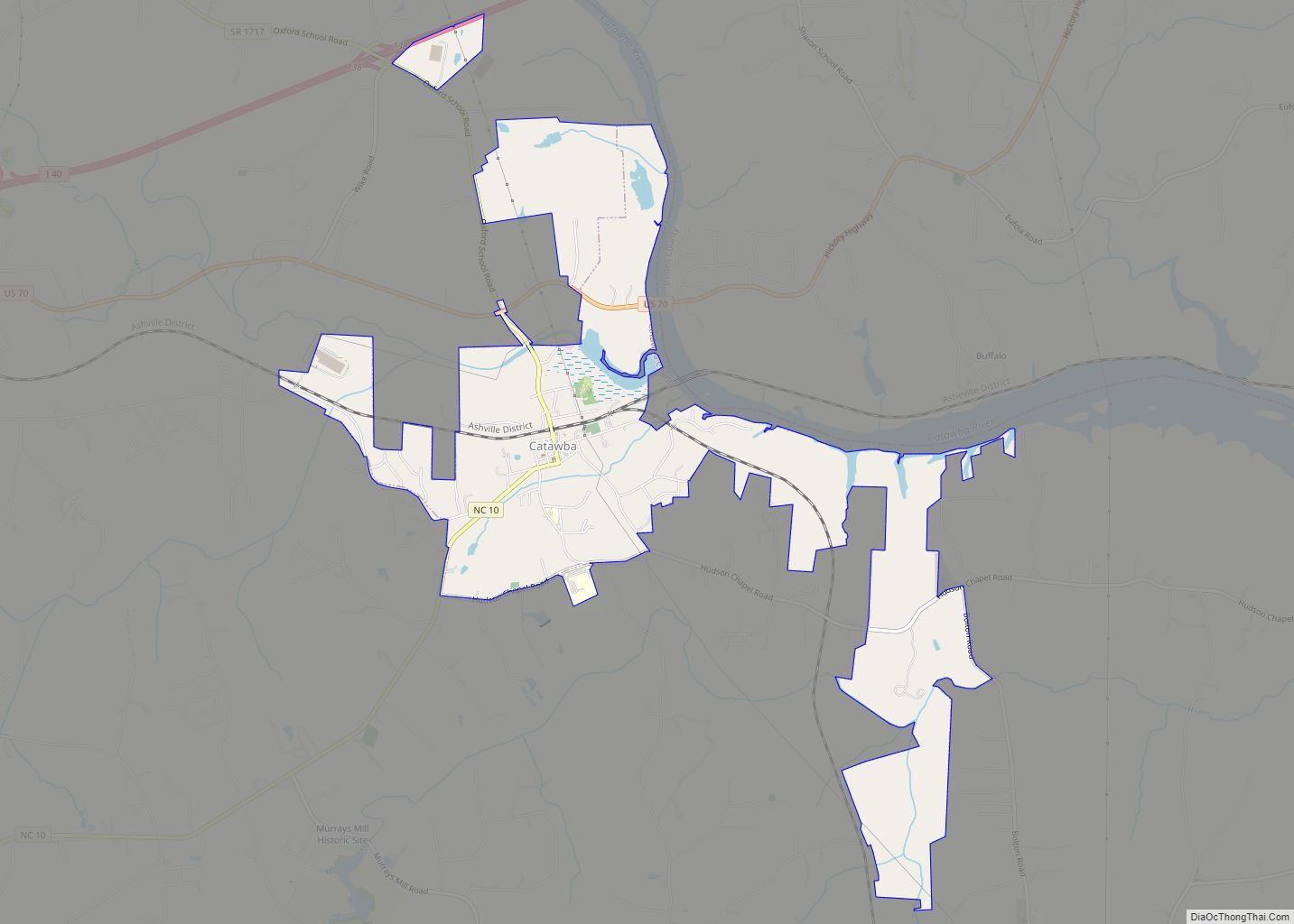
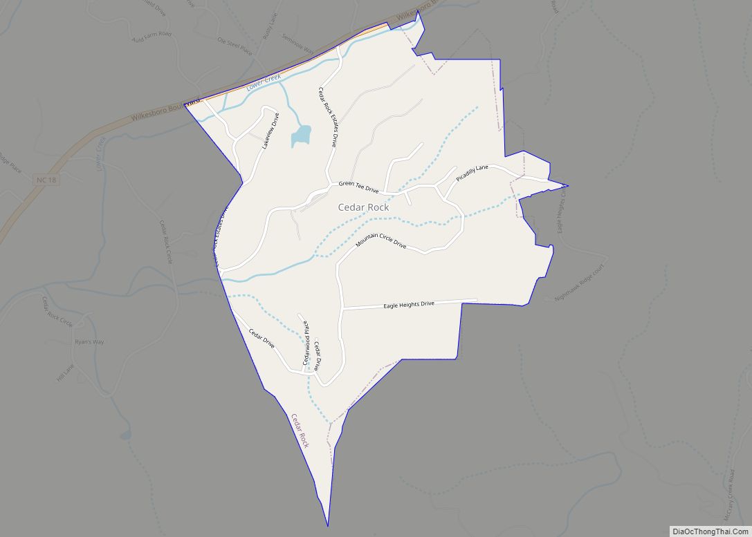
Online Interactive Map
Click on ![]() to view map in "full screen" mode.
to view map in "full screen" mode.
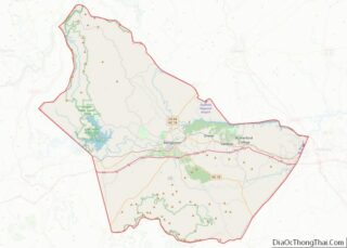
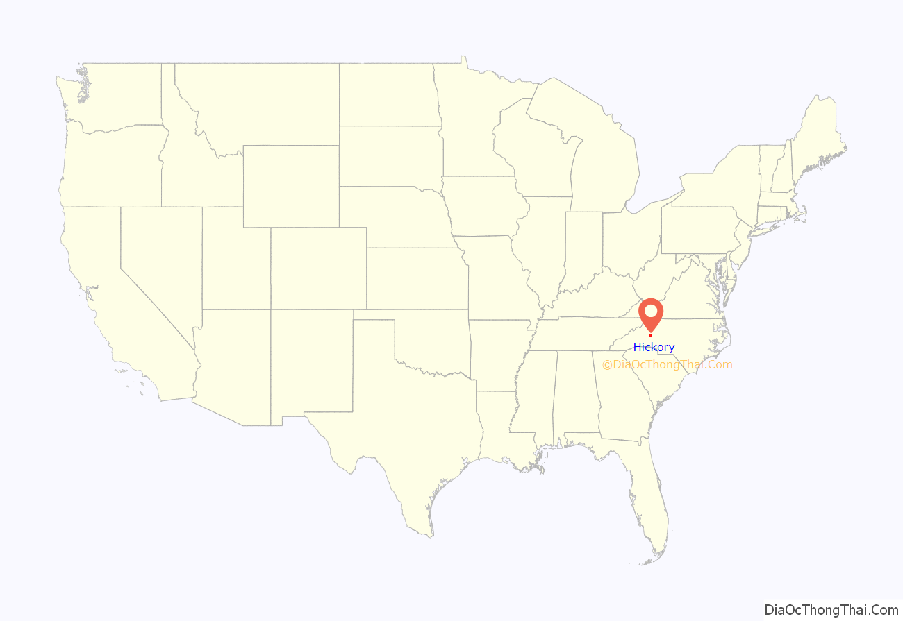
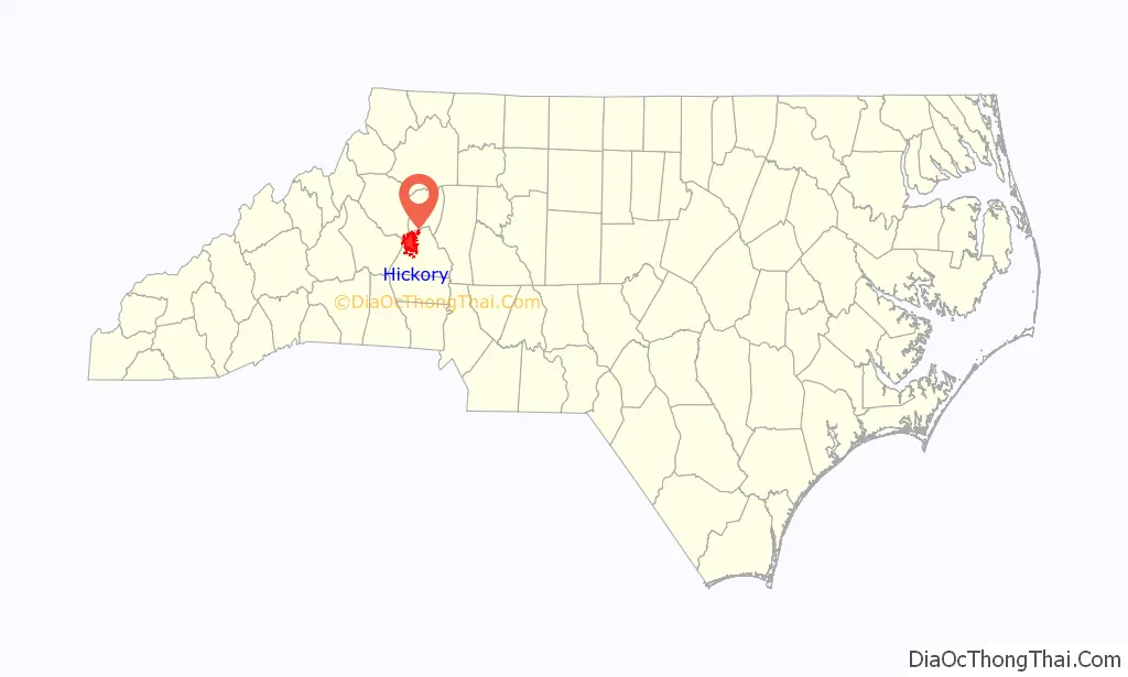
Hickory location map. Where is Hickory city?
History
Hickory owes its name to the Hickory Tavern, a log structure built in the 1850s underneath a hickory tree.
Henry Link bought the first lot in the area for $45 in 1858. The house he built became The 1859 Cafe, a restaurant which closed in 2011.
The first train operated near Hickory Tavern in 1859. Nine years later in 1868, Dr. Jeremiah Ingold, pastor of Corinth Reformed Church (then German Reformed Grace Church), established the Free Academy, the first school in the area. Two years later, in 1870 Hickory Tavern was established as a town. Three years later, its name was officially changed to Hickory. In 1889, it became the City of Hickory.
Hickory experienced rapid growth in the 1880s. Befitting a growing community, electric lights were installed 1888. A year later, the Elliott Opera House opened. Decorated in French renaissance style with mythology motifs, the opera house auditorium sat 750 and the parquet balcony fit another 350. The opera house hosted touring out of town shows, the “Hickory Amateurs,” the city’s first acting troupe, and The Hickory Symphony Band. Tragically, a fire destroyed the entire building in 1902, and it was never rebuilt. A municipal auditorium was constructed across the street in 1921, now housing the Hickory Community Theatre.
In 1891, four Lutheran pastors founded Highland Academy, now Lenoir–Rhyne University, with then Highland Academy) with 12 students.
Hickory built a sewage system in 1904, and adopted the council-manager form of government in 1913.
Hickory is home to one of the oldest furniture manufacturers in the United States that is still located and operated on the original site. Hickory White, formerly known as Hickory Manufacturing Company, was built in 1902 and has been in continuous operation ever since. During World War II, the factory made ammunition boxes for the U.S. military instead of furniture.
Hickory was known in the years after World War II for the “Miracle of Hickory”. In 1944 the area around Hickory (the Catawba Valley) became the center of one of the worst outbreaks of polio ever recorded. Residents who were then children recall summers of not being allowed to play outside or visit friends for fear of contracting the disease. Since local facilities were inadequate to treat the victims, the citizens of Hickory and the March of Dimes decided to build a hospital to care for the children of the region. From the time the decision was made until equipment, doctors, and patients were in a new facility, took less than 54 hours. Several more buildings were quickly added. A Red Cross official on the scene praised the project “as the most outstanding example of cooperative effort he has ever seen.”
The city also came to national attention when the remains of Zahra Baker were found leading to a police investigation where Zahra’s stepmother, Elise Baker, was found guilty of second-degree murder. The Zahra Baker All Children’s playground, located in Kiwanis Park, is named in her honor.
National Register of Historic Places
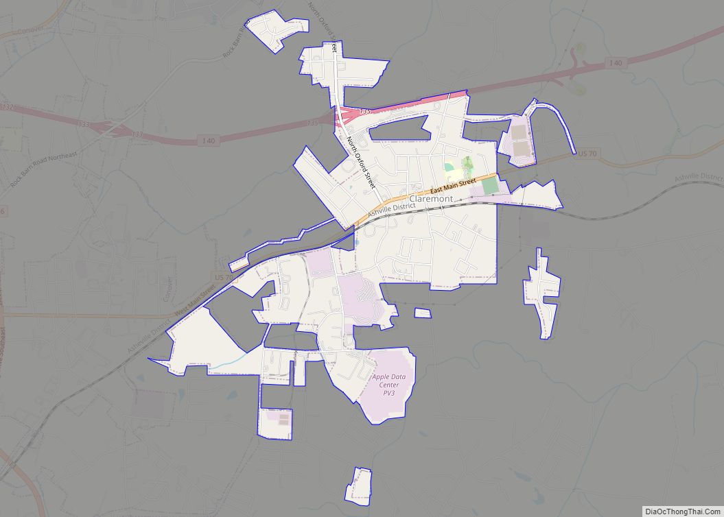
The Claremont High School Historic District, Elliott–Carnegie Library, First Presbyterian Church, Dr. Glenn R. Frye House, Clement Geitner House, Lee & Helen George House, Harris Arcade, Hickory Municipal Building, Hickory Southwest Downtown Historic District, Highland School, Hollar Hosiery Mills-Knit Sox Knitting Mills, Houck’s Chapel, Kenworth Historic District, John A. Lentz House, Lyerly Full Fashioned Mill, John Alfred Moretz House, Oakwood Historic District, Piedmont Wagon Company, Propst House, Ridgeview Public Library, Shuford House, and Whisnant Hosiery Mills are listed on the National Register of Historic Places.
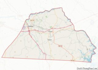
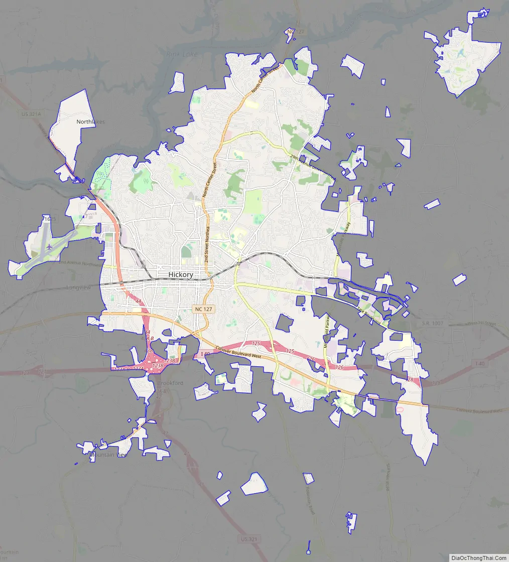
Hickory Road Map
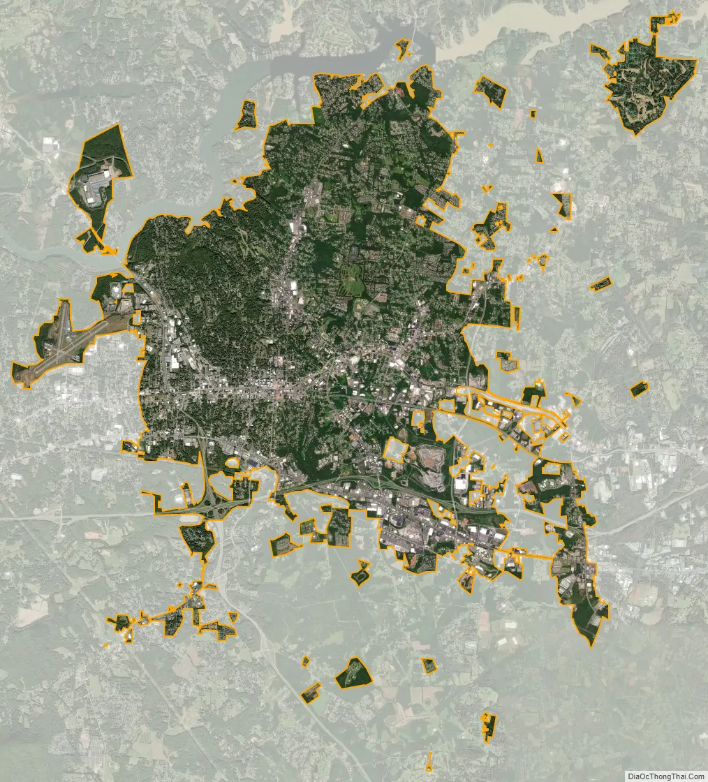
Hickory city Satellite Map
Geography
Hickory is located in western Catawba County at 35°44′16″N 81°19′42″W / 35.73778°N 81.32833°W / 35.73778; -81.32833 (35.737682, −81.328372), and extends westward into Burke County and Caldwell County. Interstate 40 passes through the southern part of the city, leading east 68 miles (109 km) to Winston-Salem and west 75 miles (121 km) to Asheville. U.S. Route 70 (Conover Boulevard) is an older east–west route through the city. U.S. Route 321 passes through the western part of the city, leading northwest 43 miles (69 km) to Boone and south 36 miles (58 km) to Gastonia.
According to the United States Census Bureau, the city has a total area of 29.8 square miles (77.2 km), of which 29.7 square miles (76.9 km) is land and 0.08 square miles (0.2 km), or 0.31%, is water.
Lake Hickory
Lake Hickory was created on the Catawba River in 1927 with the completion of the Oxford Dam 11 miles (18 km) northeast of Hickory. The dam parallels the NC Highway 16 bridge over the Catawba River between Interstate 40 and Taylorsville. It is 122 feet (37 m) high, with an overall length of 1,200 feet (370 m). The spillway section of the dam is 550 feet (170 m) long.
Lake Hickory was named after the City of Hickory and runs along its northern edge. The lake covers almost 4,223 acres (17.09 km) with 105 miles (169 km) of shoreline. Full pond elevation is 935 feet (285 m). Lake Hickory is a reliable source of water for the Cities of Hickory and Conover and the Town of Long View, while also functioning as a recreation hub for boating, fishing, and other water based activities.
Duke Energy provides five public access areas on the lake in cooperation with the North Carolina Wildlife Resources Commission.
See also
Map of North Carolina State and its subdivision:- Alamance
- Alexander
- Alleghany
- Anson
- Ashe
- Avery
- Beaufort
- Bertie
- Bladen
- Brunswick
- Buncombe
- Burke
- Cabarrus
- Caldwell
- Camden
- Carteret
- Caswell
- Catawba
- Chatham
- Cherokee
- Chowan
- Clay
- Cleveland
- Columbus
- Craven
- Cumberland
- Currituck
- Dare
- Davidson
- Davie
- Duplin
- Durham
- Edgecombe
- Forsyth
- Franklin
- Gaston
- Gates
- Graham
- Granville
- Greene
- Guilford
- Halifax
- Harnett
- Haywood
- Henderson
- Hertford
- Hoke
- Hyde
- Iredell
- Jackson
- Johnston
- Jones
- Lee
- Lenoir
- Lincoln
- Macon
- Madison
- Martin
- McDowell
- Mecklenburg
- Mitchell
- Montgomery
- Moore
- Nash
- New Hanover
- Northampton
- Onslow
- Orange
- Pamlico
- Pasquotank
- Pender
- Perquimans
- Person
- Pitt
- Polk
- Randolph
- Richmond
- Robeson
- Rockingham
- Rowan
- Rutherford
- Sampson
- Scotland
- Stanly
- Stokes
- Surry
- Swain
- Transylvania
- Tyrrell
- Union
- Vance
- Wake
- Warren
- Washington
- Watauga
- Wayne
- Wilkes
- Wilson
- Yadkin
- Yancey
- Alabama
- Alaska
- Arizona
- Arkansas
- California
- Colorado
- Connecticut
- Delaware
- District of Columbia
- Florida
- Georgia
- Hawaii
- Idaho
- Illinois
- Indiana
- Iowa
- Kansas
- Kentucky
- Louisiana
- Maine
- Maryland
- Massachusetts
- Michigan
- Minnesota
- Mississippi
- Missouri
- Montana
- Nebraska
- Nevada
- New Hampshire
- New Jersey
- New Mexico
- New York
- North Carolina
- North Dakota
- Ohio
- Oklahoma
- Oregon
- Pennsylvania
- Rhode Island
- South Carolina
- South Dakota
- Tennessee
- Texas
- Utah
- Vermont
- Virginia
- Washington
- West Virginia
- Wisconsin
- Wyoming