Lincoln is the capital city of the U.S. state of Nebraska and the county seat of Lancaster County. The city covers 100.4 square miles (260.035 km) with a population of 292,657 in 2021. It is Nebraska’s second-most populous city and the 73rd-largest in the United States. Lincoln is the economic and cultural anchor of a substantially larger metropolitan area in southeastern Nebraska, the Lincoln Metropolitan and Lincoln-Beatrice Combined Statistical Areas. The statistical area is home to 361,921 people, making it the 104th-largest combined statistical area in the United States.
Lincoln was founded in 1856 as the village of Lancaster on the wild salt marshes and arroyos of what became Lancaster County. Renamed after President Abraham Lincoln, it became Nebraska’s state capital in 1869. The Bertram G. Goodhue–designed state capitol building was completed in 1932, and is the nation’s second-tallest capitol. As the city is the seat of government for the state of Nebraska, the state and the U.S. government are major employers. The University of Nebraska was founded in Lincoln in 1869. The university is Nebraska’s largest, with 26,079 students enrolled, and the city’s third-largest employer. Other primary employers fall into the service and manufacturing industries, including a growing high-tech sector. The region makes up a part of what is known as the greater Midwest Silicon Prairie.
Designated as a “refugee-friendly” city by the U.S. Department of State in the 1970s, the city was the 12th-largest resettlement site per capita in the country by 2000. Refugee Vietnamese, Karen (Burmese ethnic minority), Sudanese and Yazidi (Iraqi ethnic minority) people, as well as refugees from Iraq, the Middle East and Afghanistan, have resettled in the city. During the 2018–19 school year, Lincoln Public Schools provided support for about 3,000 students from 150 countries, who spoke 125 different languages.
| Name: | Lincoln city |
|---|---|
| LSAD Code: | 25 |
| LSAD Description: | city (suffix) |
| State: | Nebraska |
| County: | Lancaster County |
| Founded: | 1856 (Lancaster) |
| Incorporated: | April 1, 1869 |
| Elevation: | 1,201 ft (366 m) |
| Land Area: | 99.09 sq mi (256.63 km²) |
| Water Area: | 1.36 sq mi (3.52 km²) 1.4% |
| Population Density: | 2,937.67/sq mi (1,134.24/km²) |
| FIPS code: | 3128000 |
| GNISfeature ID: | 837279 |
| Website: | lincoln.ne.gov |
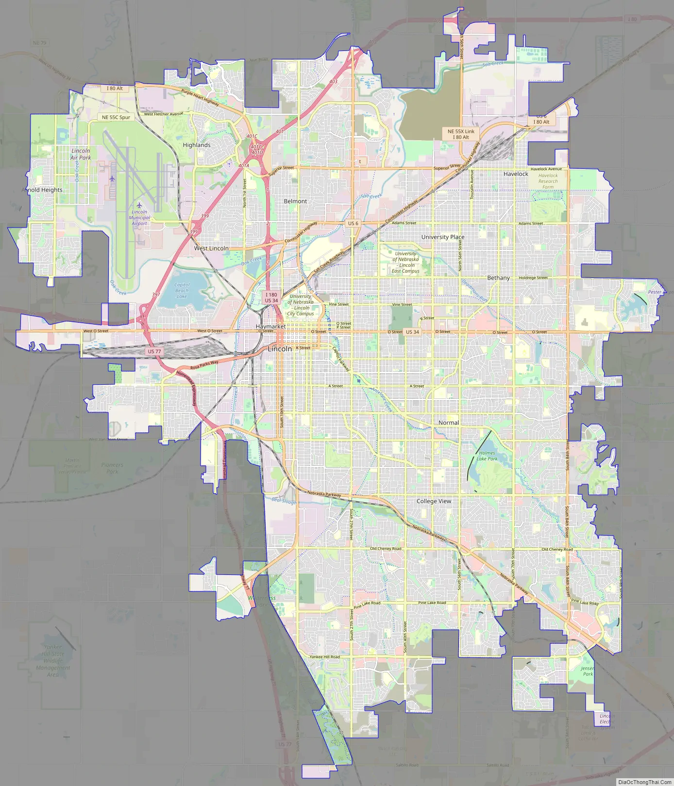
Online Interactive Map
Click on ![]() to view map in "full screen" mode.
to view map in "full screen" mode.
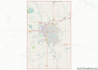
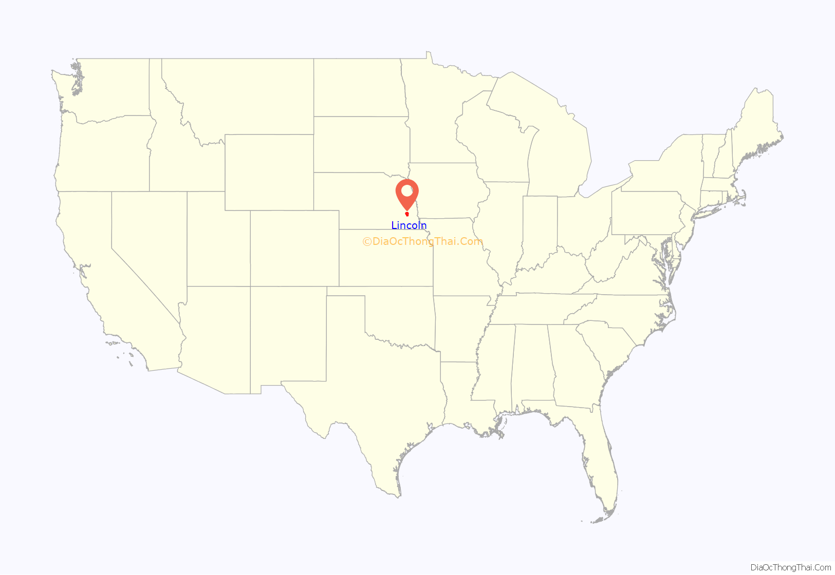
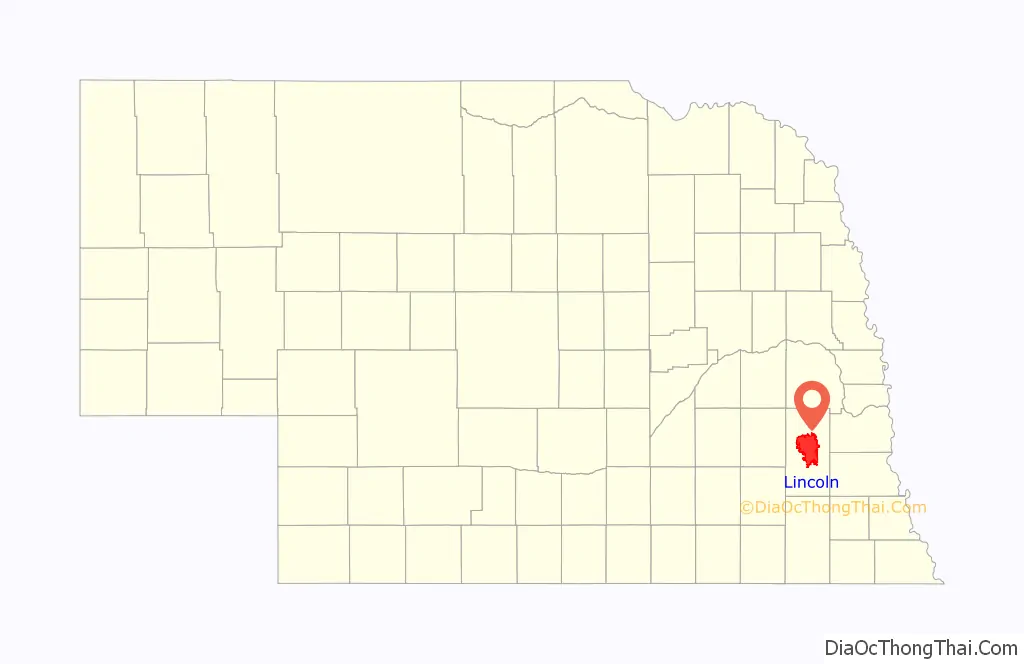
Lincoln location map. Where is Lincoln city?
History
Natives
Before the expansion westward of settlers, the prairie was covered with buffalo grass. Plains Indians, descendants of indigenous peoples who occupied the area for thousands of years, lived in and hunted along Salt Creek. The Pawnee, which included four tribes, lived in villages along the Platte River. The Great Sioux Nation, including the Ihanktowan-Ihanktowana and the Lakota, to the north and west, used Nebraska as a hunting and skirmish ground, but did not have any long-term settlements in the state. An occasional buffalo could still be seen in the plat of Lincoln in the 1860s.
Founding
Lincoln was founded in 1856 as the village of Lancaster and became the county seat of the newly created Lancaster County in 1859. The village was sited on the east bank of Salt Creek. The first settlers were attracted to the area due to the abundance of salt. Once J. Sterling Morton developed his salt mines in Kansas, salt in the village was no longer a viable commodity. Captain W. T. Donovan, a former steamer captain, and his family settled on Salt Creek in 1856. In 1859, the village settlers met to form a county. A caucus was formed and the committee, which included Donovan, selected Lancaster as the county seat. The county was named Lancaster. After the passage of the 1862 Homestead Act, homesteaders began to inhabit the area. The first plat was dated August 6, 1864.
By the end of 1868, Lancaster had a population of approximately 500. The township of Lancaster was renamed Lincoln, with the incorporation of the city of Lincoln on April 1, 1869. In 1869, the University of Nebraska was established in Lincoln by the state with a land grant of about 130,000 acres. Construction of University Hall, the first building, began the same year.
State capital
Nebraska was granted statehood on March 1, 1867. The capital of the Nebraska Territory had been Omaha since the creation of the territory in 1854. Most of its population lived south of the Platte River. After much of the territory south of the Platte considered annexation to Kansas, the territorial legislature voted to place the capital city south of the river and as far west as possible. Before the vote to remove the capital city from Omaha, Omaha Senator J. N. H. Patrick made a last-ditch effort to derail the move by having the future capital city named after recently assassinated President Abraham Lincoln. Many of the people south of the Platte had been sympathetic to the Confederate cause in the recently concluded Civil War. It was assumed that senators south of the river would not vote to pass the measure if the future capital was named after Lincoln. In the end, the motion to name the future capital city Lincoln was ineffective in blocking the measure and the vote to move the capital south of the Platte was successful, with the passage of the Removal Act in 1867.
The Removal Act called for the formation of a Capital Commission to site the capital on state-owned land. On July 18, 1867, the Commission, composed of Governor David Butler, Secretary of State Thomas Kennard, and State Auditor John Gillespie, began to tour sites for the new capital city. The village of Lancaster was chosen, in part due to its salt flats and marshes. Lancaster had approximately 30 residents. Disregarding the original plat of the village of Lancaster, Kennard platted Lincoln on a broader scale. The plat of the village of Lancaster was not dissolved nor abandoned; it became Lincoln when the Lincoln plat files were finished on September 6, 1867. To raise money for the construction of a capital city, an auction of lots was held.
Newcomers began to arrive and Lincoln’s population grew. The Nebraska State Capitol was completed on December 1, 1868, a two-story building constructed with native limestone with a central cupola. The Kennard house, built in 1869, is the oldest remaining building in the original plat of Lincoln.
In 1888, a new capitol building was constructed on the site of the first to replace the structurally unsound former capitol. The second building was a classical design by architect William H. Willcox. Construction began on a third capitol building in 1922. Bertram G. Goodhue was selected in a national competition as its architect. By 1924, the first phase of construction was completed and state offices moved into the new building. In 1925, the Willcox-designed capitol building was razed. The Goodhue-designed capitol was constructed in four phases, with the completion of the fourth phase in 1932. It is the second-tallest capitol building in the United States.
Growth and expansion
The worldwide economic depression of 1890 saw Lincoln’s population fall from 55,000 to 40,169 by 1900 (per the 1900 census). Volga-German immigrants from Russia settled in the North Bottoms neighborhood and as Lincoln expanded with the growth in population, the city began to annex nearby towns. Normal was the first town annexed in 1919. Bethany Heights, incorporated in 1890, was annexed in 1922. In 1926, the town of University Place was annexed. College View, incorporated in 1892, was annexed in 1929. Union College, a Seventh Day Adventist institution, was founded in College View in 1891. In 1930, Lincoln annexed the town of Havelock. Havelock actively opposed annexation to Lincoln and only relented due to a strike by the Burlington railroad shop workers which halted progress and growth for the city.
The Burlington and Missouri River Railroad’s first train arrived in Lincoln on June 26, 1870, and the Midland Pacific (1871) and the Atchison and Nebraska (1872) soon followed. The Union Pacific began service in 1877. The Chicago and North Western and Missouri Pacific began service in 1886. The Chicago, Rock Island and Pacific extended service to Lincoln in 1892. Lincoln became a rail hub.
As automobile travel became more common, so did the need for better roads in Nebraska and throughout the U.S. In 1911, the Omaha-Denver Trans-Continental Route Association, with support from the Good Roads Movement, established the Omaha-Lincoln-Denver Highway (O-L-D) through Lincoln. The goal was to have the most efficient highway for travel throughout Nebraska, from Omaha to Denver.
In 1920, the Omaha-Denver Association merged with the Detroit-Lincoln-Denver Highway Association. As a result, the O-L-D was renamed the Detroit-Lincoln-Denver Highway (D-L-D) with the goal of having a continuous highway from Detroit to Denver. The goal was eventually realized by the mid-1920s; 1,700 mi (2,700 km) of constantly improved highway through six states. The auto route’s success in attracting tourists led entrepreneurs to build businesses and facilities in towns along the route to keep up with the demand. In 1924, the D-L-D was designated as Nebraska State Highway 6. In 1926, the highway became part of the Federal Highway System and was renumbered U.S. Route 38. In 1931, U.S. 38 was renumbered as a U.S. 6/U.S. 38 overlap and in 1933, the U.S. 38 route designation was dropped.
In the early years of air travel, Lincoln had three airports and one airfield. Union Airport, was established northeast of Lincoln in 1920. The Lincoln Flying School was founded by E.J. Sias in a building he built at 2145 O Street. Charles Lindbergh was a student at the flying school in 1922. The flying school closed in 1947. Some remnants of the Union Airport are still visible between N. 56th and N. 70th Streets, north of Fletcher Avenue; mangled within a slowly developing industrial zone. Arrow Airport was established around 1925 as a manufacturing and test facility for Arrow Aircraft and Motors Corporation, primarily the Arrow Sport. The airfield was near Havelock; or to the west of where the North 48th Street Small Vehicle Transfer Station is today. Arrow Aircraft and Motors declared bankruptcy in 1939 and Arrow Airport closed roughly several decades later. An Arrow Sport is on permanent display, hanging in the Lincoln Airport’s main passenger terminal.
As train, automobile, and air travel increased, business flourished and the city prospered. Lincoln’s population increased 38.2% from 1920 to a population of 75,933 in 1930. In 1930, the city’s small municipal airfield was dedicated to Charles Lindbergh and named Lindbergh Field for a short period as another airfield was named Lindbergh in California. It was north of Salt Lake, in an area known over the years as Huskerville, Arnold Heights and Air Park; and was approximately within the western half of the West Lincoln Township. The air field was a stop for United Airlines in 1927 and a mail stop in 1928.
In 1942, the Lincoln Army Airfield was established at the site. During World War II, the U.S. Army used the facility to train over 25,000 aviation mechanics and process over 40,000 troopers for combat. The Army closed the base in 1945, but the Air Force reactivated it in 1952 during the Korean War. In 1966, after the Air Force closed the base, Lincoln annexed the airfield and the base’s housing units. The base became the Lincoln Municipal Airport, and later the Lincoln Airport, under the Lincoln Airport Authority’s ownership. The two main airlines that served the airport were United Airlines and Frontier Airlines. The Authority shared facilities with the Nebraska National Guard, who continued to own parts of the old Air Force base.
In 1966, Lincoln annexed the township of West Lincoln, incorporated in 1887. West Lincoln voters rejected Lincoln’s annexation until the state legislature passed a bill in 1965 that allowed cities to annex surrounding areas without a vote.
Revitalization and growth
The downtown core retail district from 1959 to 1984 saw profound changes as retail shopping moved from downtown to the suburban Gateway Shopping Mall. In 1956, Bankers Life Insurance Company of Nebraska announced plans to build a $6 million shopping center next to their new campus on Lincoln’s eastern outskirts. Gateway Shopping Center, now called Gateway Mall, opened at 60th and O streets in 1960. By 1984, 75% of Lincoln’s revenue from retail sales tax came from within a one-mile radius of the Mall. The exodus of retail and service businesses led the downtown core to decline and deteriorate.
In 1969, the Nebraska legislature legislated laws for urban renewal. Soon afterward, Lincoln began a program of revitalization and beautification. Most of the urban renewal projects focused on downtown and the near South areas. Many ideas were considered and not implemented. Successes included Sheldon Memorial Art Gallery, designed by Philip Johnson; new branch libraries, new street lighting, the First National Bank Building and the National Bank of Commerce Building designed by I.M. Pei.
In 1971, an expansion of Gateway Mall was completed. 1974 marked a new assembly facility in Lincoln, a subsidiary of Kawasaki Heavy Industries in Japan to produce motorcycles for the North American market. Lincoln’s first woman mayor, Helen Boosalis, was elected in 1975. Mayor Boosalis was a strong supporter of the revitalization of Lincoln with the downtown beautification project being completed in 1978. In 1979, the square-block downtown Centrum was opened and connected to buildings with a skywalk. The Centrum was a two-level shopping mall with a garage for 1,038 cars. With the beautification and urban renewal projects, many historic buildings were razed in the city. In 2007 and 2009, the city of Lincoln received beautification grants for improvements on O and West O Streets, west of the Harris Overpass, commemorating the history of the D-L-D.
After the fall of Saigon in 1975, Vietnamese refugees created a large residential and business community along the 27th Street corridor alongside Mexican eateries and African markets. Lincoln was designated as a “Refugee Friendly” city by the U.S. Department of State in the 1970s. In 2000, Lincoln was the twelfth-largest resettlement site per capita in the country. As of 2011, Lincoln had the second largest Karen (Burmese ethnic minority) population in the United States (behind Omaha), with an estimated 1,500 in 2019. As of the same year, Nebraska was one of the largest resettlement sites for the people of Sudan, mostly in Lincoln and Omaha. In 2014, some social service organizations estimated that up to 10,000 Iraqi refugees had resettled in Lincoln. In recent years, Lincoln had the largest Yazidi (Iraqi ethnic minority) population in the U.S., with over 2,000–3,000 having settled within the city (as of late 2017). In a three-year period, the immigrant and refugee student population at Lincoln Public Schools increased 52% – from 1,606 students in 2014, to 2,445 in 2017.
The decade from 1990 to 2000 saw a significant rise in population from 191,972 to 225,581. North 27th Street and Cornhusker Highway were redeveloped with new housing and businesses built. The boom housing market in south Lincoln created new housing developments including high end housing in areas like Cripple Creek, Willamsburg and The Ridge. The shopping center Southpointe Pavilions was completed in competition of Gateway Mall.
In 2001, Westfield America Trust purchased the Gateway Mall and named it Westfield Shoppingtown Gateway. In 2005, the company renamed it the Westfield Gateway. Westfield made a $45 million makeover of the mall in 2005 including an expanded food court, a new west-side entrance and installation of an Italian carousel. In 2012, Westfield America Trust sold Westfield Gateway to Starwood Capital Group. Starwood reverted the mall’s name from Westfield Gateway to Gateway Mall and has made incremental expansions and renovations.
In 2015, ALLO Communications announced it would bring ultra-high speed fiber internet to the city. Speeds up to 1 Gigabit per second were available for business and households by building off of the city’s existing fiber network. Construction on the citywide network began in March 2016 and was estimated to be complete by 2019, making it one of the largest infrastructure projects in the United States. Telephone and cable TV service were also included, making it the third company to compete for such services within the same Lincoln footprint. In April 2016, Windstream Communications announced that 2,300 customers in Lincoln had 1 Gigabit per second fiber internet with an expected expansion of services to 25,000 customers by 2017. On November 29, 2017, Lincoln was named a Smart Gigabit Community by U.S. Ignite Inc. and in early 2018, Spectrum joined the ranks of internet service providers providing 1 gigabit internet within the city.
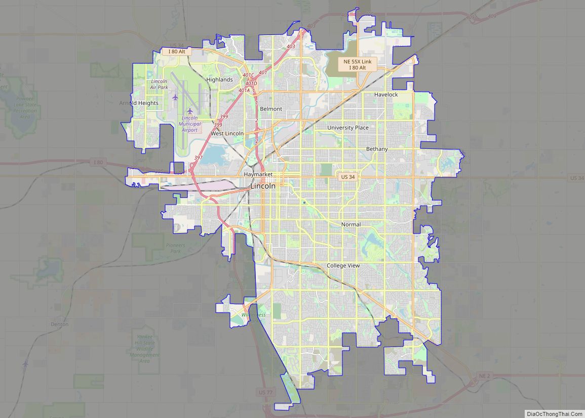
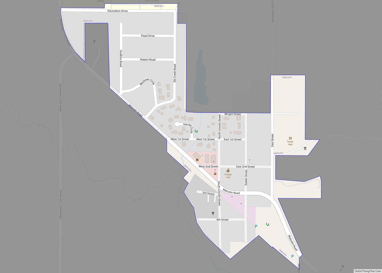
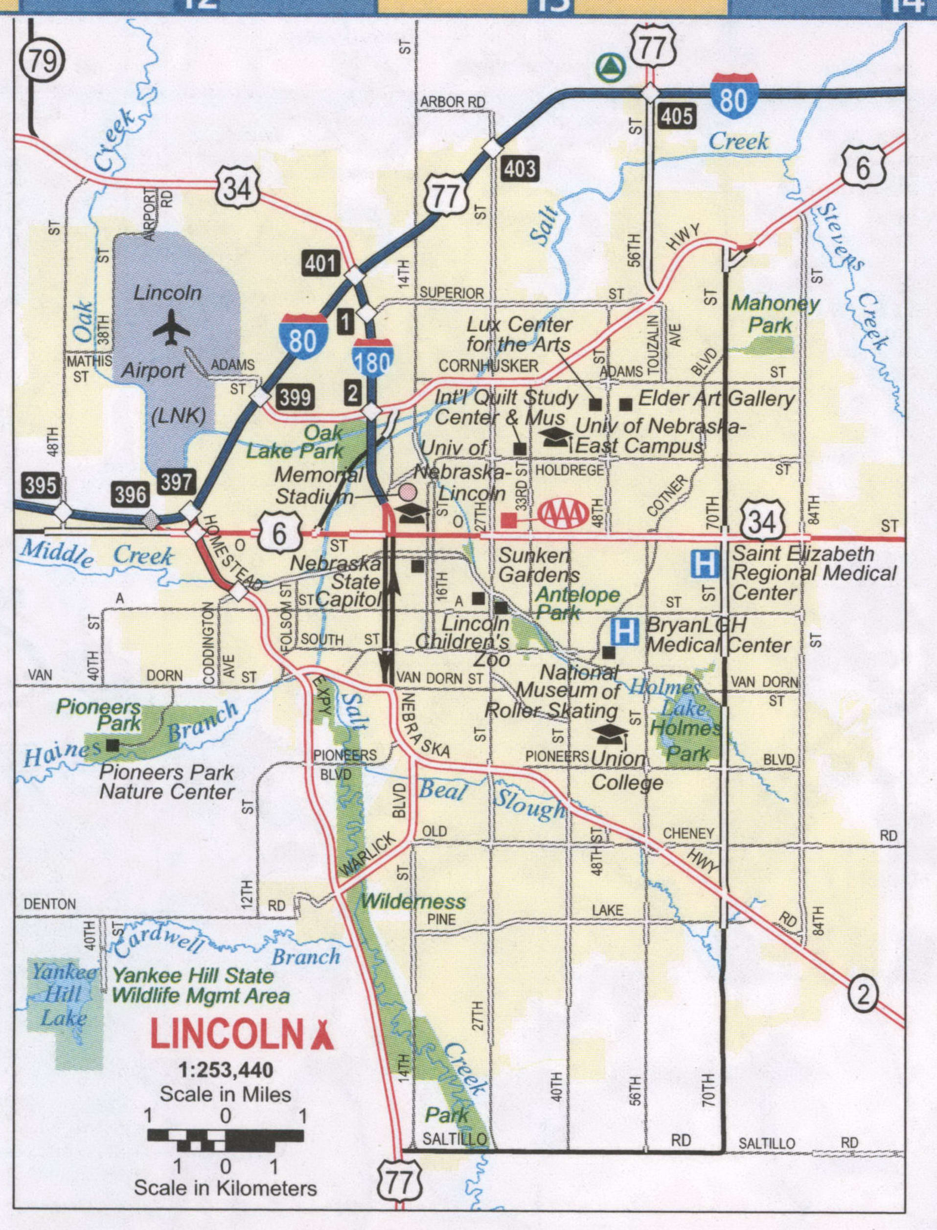
Lincoln Road Map
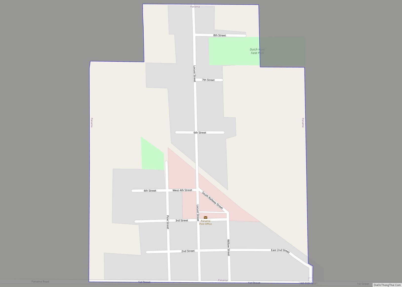
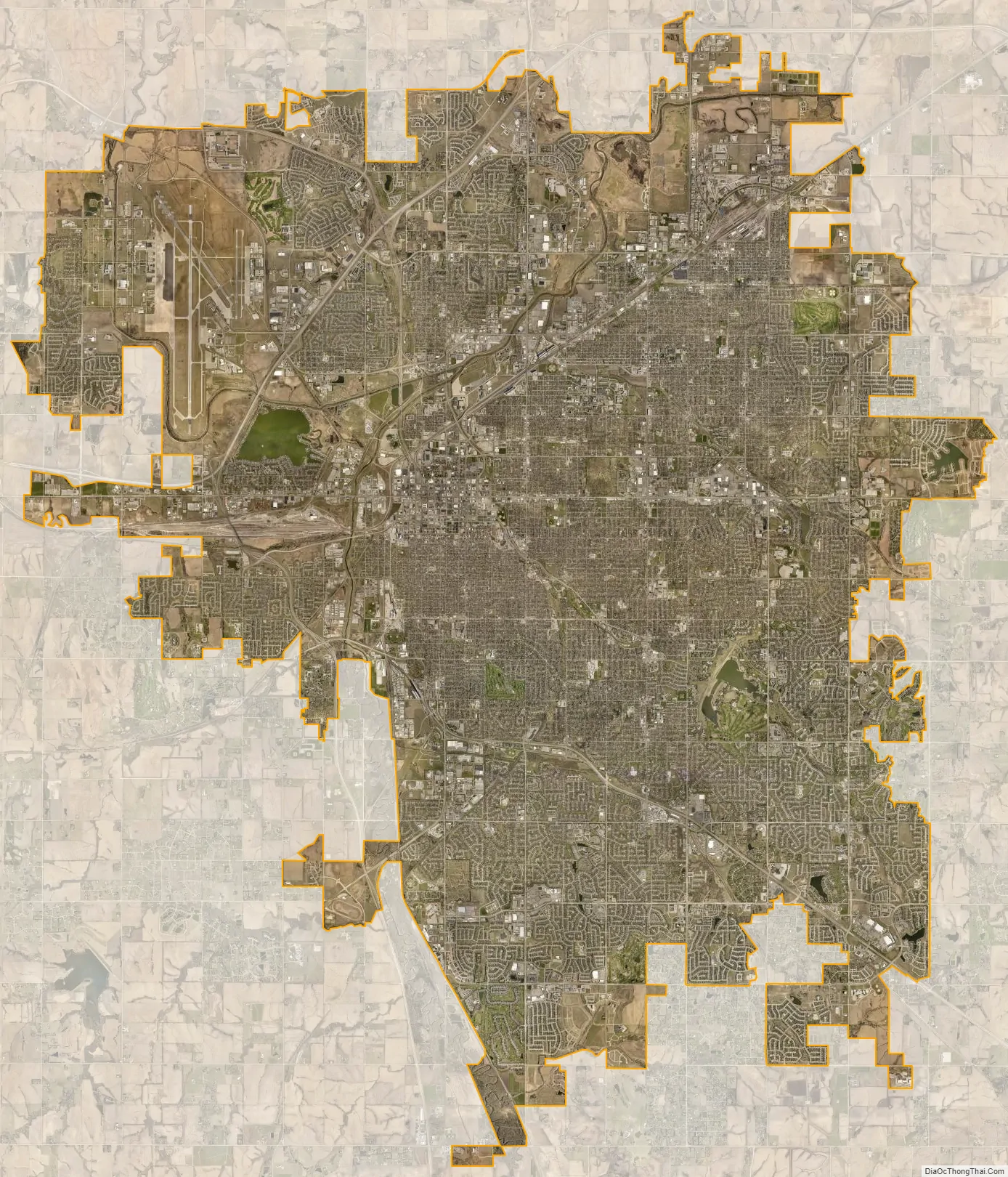
Lincoln city Satellite Map
Geography
Lincoln has an area of 99.050 square miles (256.538 km), of which 97.689 square miles (253.013 km) is land and 1.361 square miles (3.525 km) is water, according to the United States Census Bureau in 2020.
Lincoln is one of the few large cities of Nebraska not along either the Platte River or the Missouri River. The city was originally laid out near Salt Creek and among the nearly flat saline wetlands of northern Lancaster County. The city’s growth has led to development of the surrounding land, much of which is composed of gently rolling hills. In recent years, Lincoln’s northward growth has encroached on the habitat of the endangered Salt Creek tiger beetle.
Metropolitan area
The Lincoln Metropolitan Statistical Area consists of Lancaster County and Seward County. Seward County was added to the metropolitan area in 2003. Lincoln is also in the Lincoln-Beatrice Combined Statistical Area which consists of the Lincoln metropolitan area and the micropolitan area of Beatrice. The city of Beatrice is the county seat of Gage County. The Lincoln-Beatrice combined statistical area is home to 363,733 people (2021 estimate) making it the 104th-largest combined statistical area in the United States.
Neighborhoods
Lincoln’s neighborhoods include both old and new development. Some neighborhoods in Lincoln were formerly small towns that Lincoln later annexed, including University Place in 1926, Belmont, Bethany (Bethany Heights) in 1922, College View in 1929, Havelock in 1930, and West Lincoln in 1966. A number of Historic Districts are near downtown Lincoln, while newer neighborhoods have appeared primarily in the south and east. As of December 2013, Lincoln had 45 registered neighborhood associations within the city limits.
One core neighborhood that has seen rapid residential growth in recent years is the downtown Lincoln area. In 2010, there were 1,200 downtown Lincoln residents; in 2016, there were 3,000 (an increase of 140%). Around the middle of the same decade, demand for housing and rent units began outpacing supply. With Lincoln’s population expected to grow to more than 311,000 people by 2020, prices for homes and rent costs have risen. Home prices rose 10% from the first quarter of 2015 to the first quarter of 2016; rent prices rose 30% from 2007 to 2017 with a 5–8% increase in 2016 alone.
Climate
Located in the Great Plains far from the moderating influence of mountains or large bodies of water, Lincoln has a highly variable four season humid continental climate (Köppen Dfa): winters are cold and summers are hot. With little precipitation during winter, precipitation is concentrated in the warmer months, when thunderstorms frequently roll in, often producing tornadoes. Snow averages 26.0 inches (66 cm) per season but seasonal accumulation has ranged from 7.2 in (18 cm) in 1967–1968 to 55.5 in (141 cm) in 2018-2019. Snow tends to fall in light amounts, though blizzards are possible. There is an average of 38 days with a snow depth of 1 in (2.5 cm) or more. The average window for freezing temperatures is October 7 thru April 25, allowing a growing season of 164 days.
The monthly daily average temperature ranges from 25.0 °F (−3.9 °C) in January to 78.1 °F (25.6 °C) in July. However, the city is subject both to episodes of bitter cold in winter and heat waves during summer, with 10.1 nights of 0 °F (−18 °C) or lower lows, 41.8 days of 90 °F (32 °C)+ highs, and 3.5 days of 100 °F (38 °C)+ highs. The city straddles the boundary of USDA Plant Hardiness Zones 5b and 6a. Temperature extremes have ranged from −33 °F (−36.1 °C) on January 12, 1974 up to 115 °F (46.1 °C) on July 25, 1936. Readings as high as 105 °F (41 °C) or as low as −20 °F (−29 °C) occur somewhat rarely; the last occurrence of each was July 22, 2012 and February 16, 2021. The second lowest temperature ever recorded in Lincoln was −31 °F (−35.0 °C) on February 16, 2021, which broke the monthly record of −26 °F (−32.2 °C) last set a day earlier. It occurred during the wider February 13–17, 2021 North American winter storm, which impacted the Midwestern and Northeastern United States as a whole.
Based on 30-year averages obtained from NOAA’s National Climatic Data Center for December, January and February, the Weather Channel ranked Lincoln the seventh-coldest major U.S. city in a 2014 article. In 2014, the Lincoln-Beatrice area was among the “Cleanest U.S. Cities for Ozone Air Pollution” in the American Lung Association’s “State of the Air 2014” report.
See also
Map of Nebraska State and its subdivision:- Adams
- Antelope
- Arthur
- Banner
- Blaine
- Boone
- Box Butte
- Boyd
- Brown
- Buffalo
- Burt
- Butler
- Cass
- Cedar
- Chase
- Cherry
- Cheyenne
- Clay
- Colfax
- Cuming
- Custer
- Dakota
- Dawes
- Dawson
- Deuel
- Dixon
- Dodge
- Douglas
- Dundy
- Fillmore
- Franklin
- Frontier
- Furnas
- Gage
- Garden
- Garfield
- Gosper
- Grant
- Greeley
- Hall
- Hamilton
- Harlan
- Hayes
- Hitchcock
- Holt
- Hooker
- Howard
- Jefferson
- Johnson
- Kearney
- Keith
- Keya Paha
- Kimball
- Knox
- Lancaster
- Lincoln
- Logan
- Loup
- Madison
- McPherson
- Merrick
- Morrill
- Nance
- Nemaha
- Nuckolls
- Otoe
- Pawnee
- Perkins
- Phelps
- Pierce
- Platte
- Polk
- Red Willow
- Richardson
- Rock
- Saline
- Sarpy
- Saunders
- Scotts Bluff
- Seward
- Sheridan
- Sherman
- Sioux
- Stanton
- Thayer
- Thomas
- Thurston
- Valley
- Washington
- Wayne
- Webster
- Wheeler
- York
- Alabama
- Alaska
- Arizona
- Arkansas
- California
- Colorado
- Connecticut
- Delaware
- District of Columbia
- Florida
- Georgia
- Hawaii
- Idaho
- Illinois
- Indiana
- Iowa
- Kansas
- Kentucky
- Louisiana
- Maine
- Maryland
- Massachusetts
- Michigan
- Minnesota
- Mississippi
- Missouri
- Montana
- Nebraska
- Nevada
- New Hampshire
- New Jersey
- New Mexico
- New York
- North Carolina
- North Dakota
- Ohio
- Oklahoma
- Oregon
- Pennsylvania
- Rhode Island
- South Carolina
- South Dakota
- Tennessee
- Texas
- Utah
- Vermont
- Virginia
- Washington
- West Virginia
- Wisconsin
- Wyoming