Henrico County /hɛnˈraɪkoʊ/, officially the County of Henrico, is located in the Commonwealth of Virginia in the United States. As of the 2020 census, the population was 334,389 making it the fifth-most populous county in Virginia. Henrico County is included in the Greater Richmond Region. There is no incorporated community within Henrico County; therefore, there is no incorporated county seat either. Laurel, an unincorporated CDP, serves this function.
Named after the settlement of Henricus, Henrico was first incorporated as the City of Henrico. In 1634, Henrico was reorganized as Henrico Shire, one of the eight original Shires of Virginia. It is one of the United States’ oldest counties. The City of Richmond was officially part of Henrico County until 1842, when it became a fully independent city.
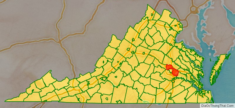
The present-day Henrico County curves around the City of Richmond, surrounding it to the west, the north, and the east. The county is bounded by the Chickahominy River to the north and the James River and Richmond to the south.
Richmond International Airport is located in the eastern portion of Henrico County in Sandston. Top private employers in the county include Capital One, Bon Secours Richmond Health System, and Anthem.
| Name: | Henrico County |
|---|---|
| FIPS code: | 51-087 |
| State: | Virginia |
| Founded: | 1611 |
| Named for: | the settlement of Henricus |
| Seat: | Laurel |
| Largest city: | Tuckahoe |
| Total Area: | 245 sq mi (630 km²) |
| Land Area: | 237.65 sq mi (615.5 km²) |
| Total Population: | 334,389 |
| Population Density: | 1,400/sq mi (530/km²) |
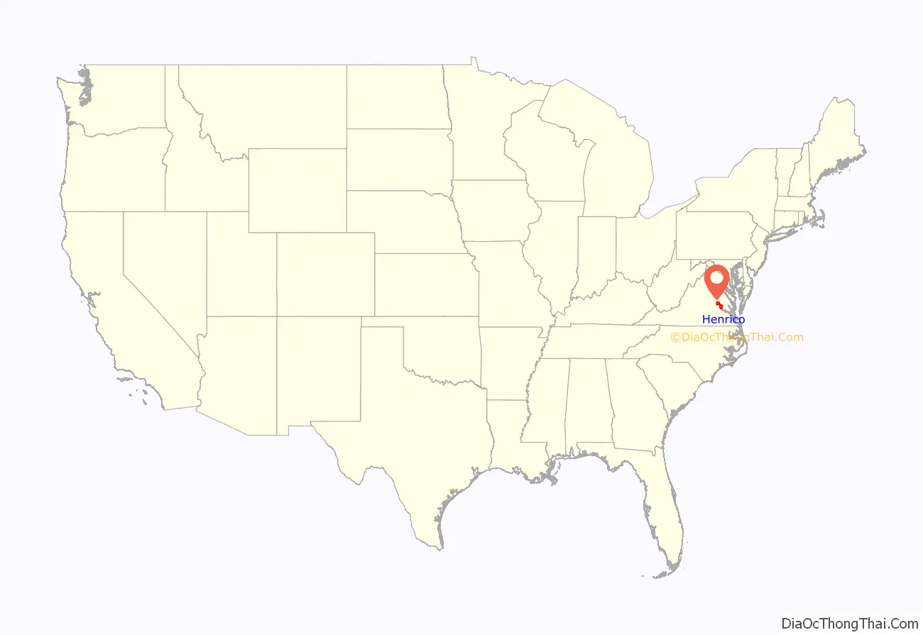
Henrico County location map. Where is Henrico County?
History
In 1611, Thomas Dale founded the Citie of Henricus on a peninsula in the James River that is now called Farrar’s Island. Henricus was named for Henry Frederick, Prince of Wales, but it was destroyed during the Indian massacre of 1622, during which local Native American warriors of the Powhatan confederacy attacked the English settlers to drive them from the area.
In 1634, Henrico Shire was one of the eight original Shires of Virginia established in the Virginia Colony. Since then, 10 counties and three independent cities have been formed from the original territory of Henrico Shire.
In 1776, Richard Adams and Nathaniel Wilkenson participated in the Fifth Virginia Convention, which voted to send delegates to the Continental Congress to propose separation from the British. That proposal led to the Declaration of Independence.During the Revolutionary War, when Benedict Arnold’s invading army occupied Richmond in January 1781, the Henrico militia was called to active duty. During the brief British occupation of Richmond, many Henrico court records were destroyed. Three months later when Arnold’s men, now part of British forces led by General William Phillips, approached Richmond for a second time, the British were stopped by the sight of local militiamen and American Continental troops led by a young Frenchman, the Marquis de Lafayette. Outnumbered, Lafayette abandoned Richmond when General Charles Cornwallis occupied the town in June 1781. Cornwallis then retired to Williamsburg and later to Yorktown. After being surrounded there by General George Washington and his French allies, Cornwallis surrendered, effectively ending the American Revolution.
Since becoming independent in 1842, the City of Richmond has successfully annexed portions of Henrico five times. Chesterfield County annexed the site of Henricus in 1922.
Henrico was badly hurt in the Civil War. During the Reconstruction era, Virginia Estelle Randolph was a pioneer educator and humanitarian who lived from 1874 to 1958. She opened the old Mountain Road School in 1892 and was named the first Jeanes Supervisor Industrial Teacher in Henrico County Schools in 1908. She conducted the first Arbor Day program in Virginia.
The USS Henrico was a Bayfield-class attack transport involved in World War Two and subsequent conflicts.
Richmond attempted to completely merge with Henrico in 1961, but 61% of the votes in a referendum in Henrico county voted against the merger. In 1965, Richmond attempted to annex 145 square miles of Henrico County. However, after a lengthy court battle, the city was given permission to annex only 17 square miles. Since the city would have had to reimburse Henrico a hefty $55 million, Richmond opted against annexing the 17 square miles.
In 1981, the Virginia General Assembly placed a moratorium on all annexations throughout the state. Henrico’s borders have not changed since Richmond’s 1942 annexation.
County seat
The original county seat was at Varina, at the Varina Farms plantation across the James River from Henricus. Colonist John Rolfe built this plantation, where he lived with his wife, Pocahontas. Henrico’s government was located at Varina from around 1640 until 1752.
In 1752, Henrico relocated its seat to a more central location inside the city of Richmond, between Church Hill and what is now Tobacco Row. The county seat remained at 22nd and Main St in Richmond even after the city’s government became fully independent of the county in 1842. It was not until 1974 when the county moved out of the Henrico County Courthouse to a complex in the western portion of the county at the intersection of Parham Road and Hungary Springs Road in Laurel.
In addition to the 1974 complex, in 1988 the county opened its Eastern Government Center to be more convenient to county residents in the eastern portion of the county. It is located on Nine Mile Road.
American Civil War battle sites
During the Civil War, in 1862 Henrico County was the site of numerous battles during the Peninsula Campaign, including:
- Battle of Seven Pines,
- Battle of Savage’s Station,
- Battle of Oak Grove,
- Battle of Garnett’s & Golding’s Farm,
- Battle of White Oak Swamp,
- Battle of Glendale, and
- Battle of Malvern Hill.
Additional significant battles took place in 1864 during the Overland Campaign prior to and during the Siege of Petersburg, which led to the fall of Richmond. Confederate General J.E.B. Stuart was mortally wounded in Henrico County at the Battle of Yellow Tavern on May 12, 1864.
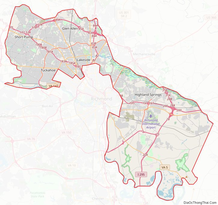
Henrico County Road Map
Geography
According to the U.S. Census Bureau, the county has a total area of 245 square miles (630 km), of which 234 square miles (610 km) is land and 11 square miles (28 km) (4.6%) is water.
Adjacent counties
- Charles City County (southeast)
- Chesterfield County (south)
- Goochland County (west)
- Hanover County (north)
- New Kent County (northeast)
- Richmond (south)
- Powhatan County (southwest at James River)
National protected area
- Richmond National Battlefield Park (part)
Climate
Henrico County is located within the humid subtropical climate zone and has hot and humid summers with moderately cold winters. Henrico County on average has 8 snow days. Henrico County has 88 days when the low falls below freezing, 50 days when the high exceeds 90 degrees, and 8 days when the high does not exceed freezing.
Source: Climate-data.org
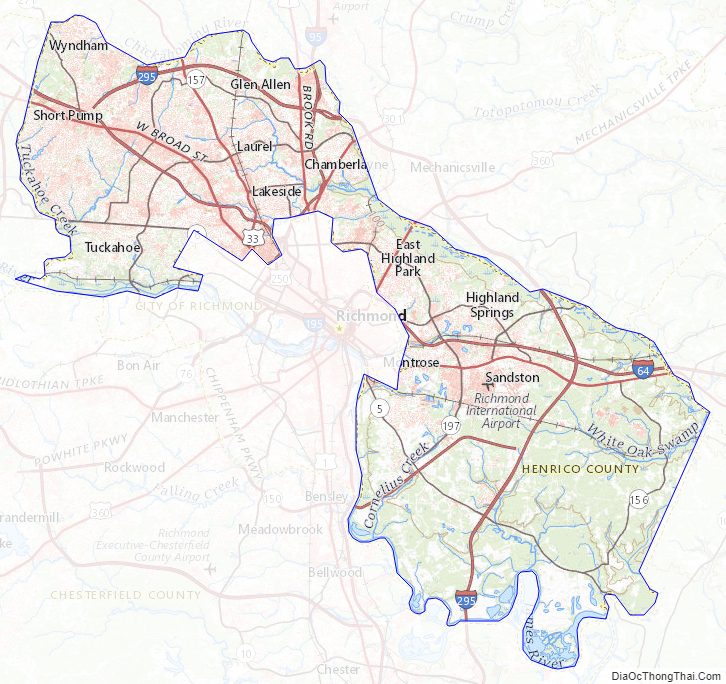
Henrico County Topographic Map
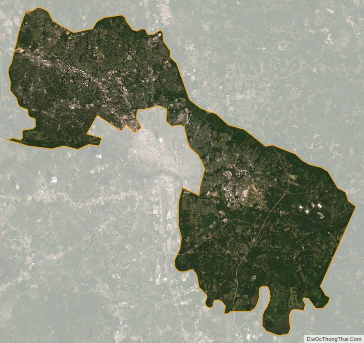
Henrico County Satellite Map
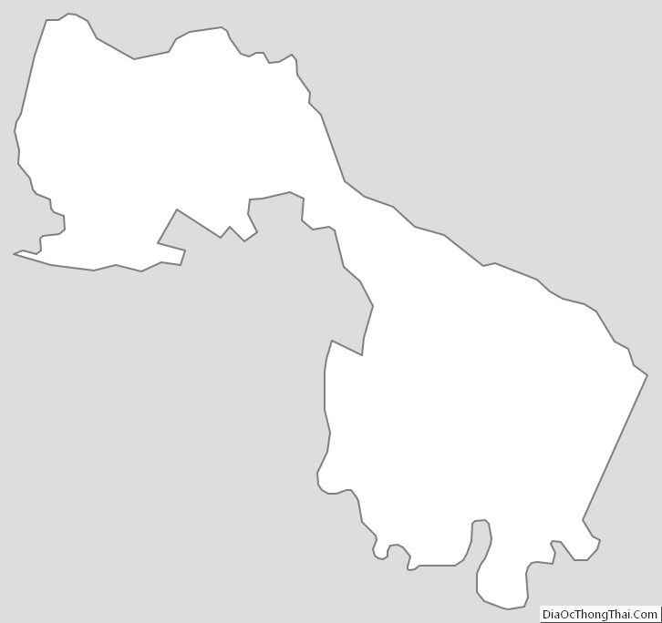
Henrico County Outline Map