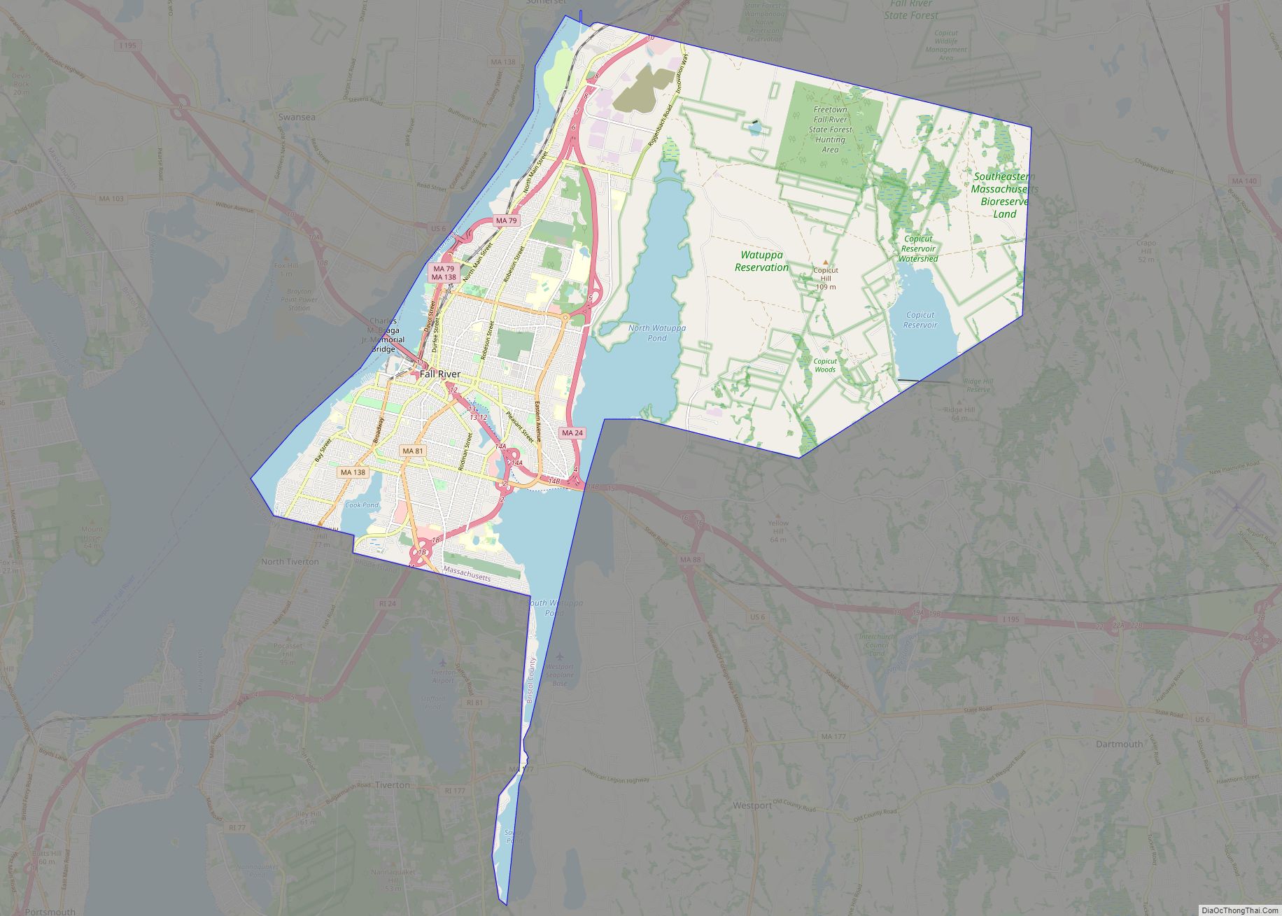
| Name: | Fall River city |
|---|---|
| LSAD Code: | 25 |
| LSAD Description: | city (suffix) |
| State: | Massachusetts |
| County: | Bristol County |
| Elevation: | 72 ft (37 m) |
| Total Area: | 40.24 sq mi (104.22 km²) |
| Land Area: | 33.12 sq mi (85.79 km²) |
| Water Area: | 7.12 sq mi (18.43 km²) |
| Total Population: | 94,000 |
| Population Density: | 2,837.91/sq mi (1,095.73/km²) |
| Area code: | 508/774 |
| FIPS code: | 2523000 |
| GNISfeature ID: | 0612595 |
| Website: | www.fallriverma.org |
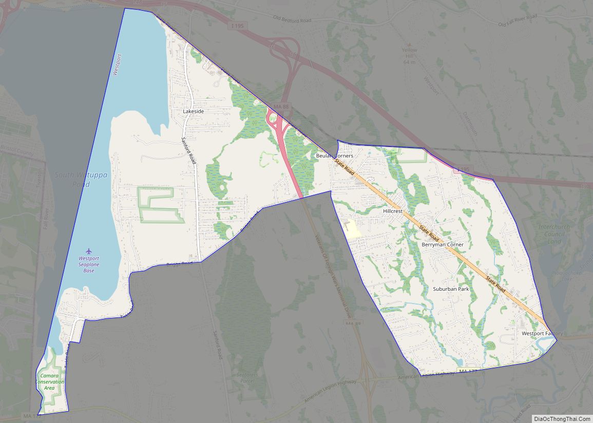
Online Interactive Map
Click on ![]() to view map in "full screen" mode.
to view map in "full screen" mode.
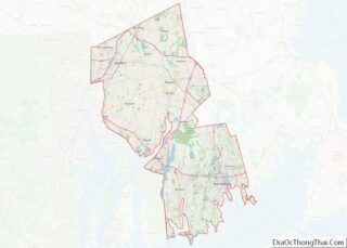
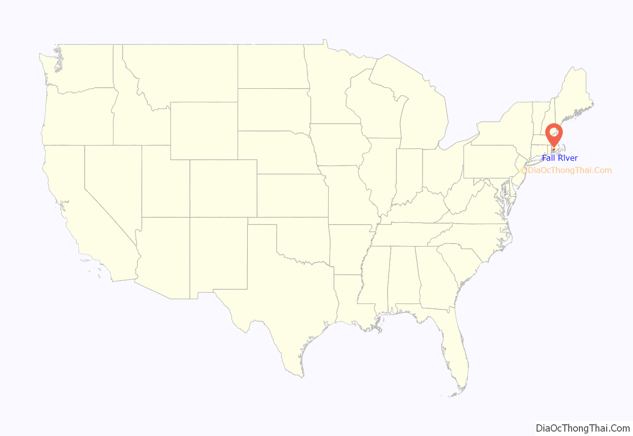
Fall River location map. Where is Fall River city?
History
Colonial period to 1800s
At the time of the establishment of the Plymouth Colony in 1620, the area that would one day become Troy City was inhabited by the Pocasset Wampanoag tribe, affiliated with the Pokanoket Confederacy headquartered at Mount Hope in what is now Bristol, Rhode Island. The “falling” river that the city’s name refers to is the Quequechan River (pronounced “quick-a-shan” by locals) which flows through the city before draining into the bay. Quequechan is a Wampanoag word believed to mean “falling river” or “leaping/falling waters.” During the 1960s, Interstate 195 was constructed through the city along the length of the Quequechan River. The portion west of Plymouth Avenue was routed underground through a series of box culverts, while much of the eastern section “mill pond” was filled in for the highway embankment.
In 1653, Freetown was settled at Assonet Bay by members of the Massachusetts Bay Colony as part of Freeman’s Purchase, which included the northern part of what is now Fall River. In 1683, Freetown was incorporated as a town within the colony. The southern part of what is now Fall River was incorporated as the town of Tiverton as part of the Massachusetts Bay Colony in 1694, a few years after the merger with Plymouth Colony. In 1746, in the settlement of a colonial boundary dispute between Rhode Island and Massachusetts, Tiverton was annexed to Rhode Island, along with Little Compton and what is now Newport County, Rhode Island. The boundary was then placed approximately at what is now Columbia Street.
In 1703, Benjamin Church, a hero of King Philip’s War established a saw mill, grist mill, and a fulling mill on the Quequechan River. In 1714, Church sold his land, along with the water rights to Richard Borden of Tiverton and his brother Joseph. This transaction would prove to be extremely valuable 100 years later, helping to establish the Borden family as the leaders in the development of Fall River’s textile industry.
During the 18th century, the area consisted mostly of small farms and relatively few inhabitants. In 1778, the Battle of Freetown, was fought here during the American Revolutionary War (1775–1783) after British raids badly damaged Bristol and Warren. The militia of Fall River, at that time known as Freetown, put up a stronger defense against a British force.
In 1803, Fall River was separated from Freetown and officially incorporated as its own town. A year later, Fall River changed its name to “Troy.” The name “Troy” was used for 30 years and was officially changed back to Fall River on February 12, 1834. During this period, Fall River was governed by a three-member Board of Selectmen, until it became a City in 1854.
In 1835, The Fall River Female Anti Slavery Society was formed (one of the many anti-slavery societies in New England) to promote abolition and to allow a women’s space to conduct social activism. There was an initial group, which was wary of allowing free black full membership, so a second group (this one) was formed in response by Elizabeth Buffum Chace and her sisters, who were committed to allowing free black women membership. Sarah G. Buffman, a delegate from the group, was sent to the Anti-Slavery Convention of American Women in Philadelphia in 1838. Buffman signed all three of the statements that the convention’s delegates agreed on.
In July 1843, the first great fire in Fall River’s history destroyed much of the town center, including the Atheneum, which housed the Skeleton in Armor which had been discovered in a sand bank in 1832 near what is now the corner of Hartwell and Fifth Street.
During this time, the southern part of what is now Fall River (south of Columbia Street) remained part of Tiverton, Rhode Island. In 1856, the town of Tiverton, Rhode Island voted to split off its industrial northern section as Fall River, Rhode Island. In 1861, after decades of dispute, the United States Supreme Court moved the state boundary to what is now State Avenue, unifying both Fall Rivers as a city in Massachusetts (among other changes; see History of Massachusetts § Rhode Island eastern border).
Industrial development and prosperity
The early establishment of the textile industry in Fall River grew out of the developments made in nearby Rhode Island, beginning with Samuel Slater at Pawtucket, Rhode Island in 1793. In 1811, Col. Joseph Durfee, the Revolutionary War veteran and hero of the Battle of Freetown in 1778, built the Globe Manufactory, a spinning mill at the outlet of Cook Pond on Dwelly St. near what is now Globe Four Corners in the city’s South End. (It was part of Tiverton, Rhode Island at the time.) While Durfee’s mill itself was not particularly successful, its establishment marked the beginning of Fall River’s time as a mill city.
The real development of Fall River’s industry, however, would occur along the falling river from which it was named, about a mile north of Durfee’s first mill. The Quequechan River, with its eight falls, combined to make Fall River the best tidewater privilege in southern New England. It was perfect for industrialization—big enough for profit and expansion, yet small enough to be developed by local capital without interference from Boston.
The Fall River Manufactory was established by David Anthony and others in 1813. That same year, the Troy Cotton & Woolen Manufactory was founded by a group of investors led by Oliver Chace of Swansea. Chase had worked as a carpenter for Samuel Slater in his early years. The Troy Mill opened in 1814 at the upper end of the falls.
In 1821, Colonel Richard Borden (along with Maj. Bradford Durfee) established the Fall River Iron Works at the lower part of the Quequechan River. Durfee was a shipwright, and Borden was the owner of a grist mill. After an uncertain start, in which some early investors pulled out, the Fall River Iron Works was incorporated in 1825. The Iron Works began producing nails, bar stock, and other items, such as bands for casks in the nearby New Bedford whaling industry. They soon gained a reputation for producing nails of high quality, and business flourished. In 1827, Col. Borden began regular steamship service to Providence, Rhode Island.
The American Print Works was established in 1835 by Holder Borden, uncle of Col. Richard Borden. With the leadership of the Borden family, the American Print Works (later known as the American Printing Company) became the largest and most important textile company in the city, employing thousands at its peak in the early 20th century. Richard Borden also constructed the Metacomet Mill in 1847, which today is the oldest remaining textile mill in the city; it is located on Anawan Street.
By 1845, the Quequechan’s power had been all but maximized. The Massasoit Steam Mill was established in 1846, above the dam near the end of Pleasant Street. However, it would be another decade or so when improvements in the steam engine by George Corliss would enable the construction of the first large steam-powered mill in the city, the Union Mills in 1859.
The advantage of being able to import bales of cotton and coal to fuel the steam engines to Fall River’s deep water harbor (and ship them out from the same) made Fall River the city of choice for a series of cotton mill magnates. The first railroad line serving Fall River, The Fall River Branch Railroad, was incorporated in 1844 and opened in 1845. In 1847, the first regular steamboat service to New York City began. The Fall River Line, as it came to be known, operated until 1937, and for many years was the preferred way to travel between Boston and Manhattan. The Old Colony Railroad and Fall River Railroad merged in 1854, forming the Old Colony and Fall River Railroad.
In 1854, Fall River was officially incorporated as a city; it had a population of about 12,000. Its first mayor was James Buffington.
Fall River profited well from the American Civil War and was in a fine position to take advantage of the prosperity that followed. By 1868, it had surpassed Lowell as the leading textile city in America with over 500,000 spindles.
In 1871 and 1872, a “most dramatic expansion” of the city occurred: 15 new corporations were founded, building 22 new mills throughout the city, while some of the older mills expanded. The city’s population increased by 20,000 people during these two years, while overall mill capacity doubled to more than 1,000,000 spindles.
By 1876, the city had one-sixth of all New England cotton capacity and one-half of all print cloth production. The Spindle City, as it became known, was second in the world to only Manchester, England in terms of output.
To house the thousands of new workers—mostly Irish and French Canadian immigrants during these years—over 12,000 units of company housing were built. Unlike the well-spaced boardinghouses and tidy cottages of Rhode Island, worker housing in Fall River consisted of thousands of wood-framed, multi-family tenements, usually three-floor “triple-deckers” with up to six apartments. Many more privately owned tenements supplemented the company housing.
During the 19th century, Fall River became famous for the granite rock on which much of the city is built. Several granite quarries operated during this time, the largest of which was the Beattie Granite Quarry, near what is now the corner of North Quarry and Locust Streets. Many of the mills in the city were built from this stone, and it was highly regarded as a building material for many public buildings and private homes alike. The Chateau-sur-Mer mansion in Newport, Rhode Island was constructed from Fall River granite, known for its greyish-pink color.
While most of the mills “above the hill” were constructed from native Fall River granite, nearly all of their counterparts along the Taunton River and Mount Hope Bay were made of red brick due to the high costs and impracticality associated with transporting the rock through the city and down the hill. (One notable exception is the Sagamore Mills on North Main Street, which were constructed from similar rock quarried in Freetown and brought to the site by rail).
Fall River rode a wave of economic prosperity well into the early 20th century. During this time, the city boasted a bustling downtown with several upscale hotels and theaters. As the city continuously expanded during the late 19th century, additional infrastructure such as parks, schools, streetcar lines, a public water supply, and sewerage system were constructed to meet the needs of its growing population.
From 1896 to 1912, Fall River was the headquarters of the E. P. Charlton & Company, a chain of five and ten cent stores. Founded at Fall River in 1890 by Seymour H. Knox and Earle Perry Charlton as the Knox & Charlton Five and Ten Cent Store, E.P. Charlton operated fifty-eight stores in the United States and Canada by the time of its merger with several other retailers to form the F. W. Woolworth Company in 1912.
In 1920, the population of Fall River peaked at 120,485.
North Main Street, c. 1910
First Cotton Mill, built in 1811
Printing Works, c. 1920
The Charlton Block, 1908
The cotton mills of Fall River had built their business largely on one product: print cloth. Around 1910, the city’s largest employer, the American Printing Company (APC), employed 6,000 people and was the largest company printer of cloth in the world. Dozens of other city mills solely produced cloth to be printed at the APC.
World War I had provided a general increase in demand for textiles, and many of the mills of New England benefited during this time. The post-war economy quickly slowed, however, and production quickly outpaced demand. The Northern mills faced serious competition from their Southern counterparts due to lower labor and transportation costs, as well as the South’s large investment in new machinery and other equipment. In 1923, Fall River faced the first wave of mill closures. Several of the mills merged, allowing them to remain in business into the late 1920s.
The worst fire in Fall River’s history occurred on the evening of February 2, 1928. It began when workers were dismantling the recently vacated Pocasset Mill. During the night, the fire spread quickly and wiped out a large portion of downtown. City Hall was spared, but was badly damaged. Today, many of the structures near the corner of North Main and Bedford Street date from the early 1930s, as they were rebuilt soon after the fire.
By the 1930s and the Great Depression, many of the mills were out of business and the city was bankrupt. The once mighty American Printing Company finally closed for good in 1934. In 1937, their huge plant waterfront on Water Street was acquired by the Firestone Tire & Rubber Company and soon employed 2,600 people. A handful managed to survive through World War II and into the 1950s. In October 1941, just a few weeks before the attack on Pearl Harbor, another large fire broke out in the main building of the printworks. The fire was a major setback to the U.S. war effort; 30,000 pounds (13,607 kilograms) of raw rubber worth $15 million was lost in the inferno.
With the demise of the textile industry, many of the city’s mills were occupied by smaller companies, some in the garment industry, traditionally based in the New York City area but attracted to New England by the lure of cheap factory space and an eager workforce in need of jobs. The garment industry survived in the city well into the 1990s, by which point it had fallen victim to globalization and foreign competition.
In the 1960s, the city’s landscape was drastically transformed with the construction of the Braga Bridge and Interstate 195, which cut directly through the heart of the city. In the wake of the highway building boom, the city lost many of its longtime landmarks. The Quequechan River was filled in and re-routed for much of its length. The historic falls were diverted into underground culverts. A series of elevated steel viaducts was constructed to allow access the new bridge. Many historic buildings were demolished, including the Old City Hall, the Troy Mills, the Second Granite Block (built after the 1928 fire), as well as other 19th-century brick-and-mortar buildings near Old City Hall.
Constructed directly over Interstate 195 in the place of it predecessor, the new city hall (known as Government Center) was opened in 1976 after years of construction delays and quality control problems. Built in the Brutalist style popular in the 1960s and 1970s, the new city hall drew complaints from city workers and residents almost immediately.
In 1970, Valle’s Steak House opened one if its landmark restaurants on William S. Canning Boulevard in the city’s South End. The steak house was popular with Fall River residents, but economic challenges caused the chain to close all of its restaurants in the 1980s.
Also during the 1970s, several modern apartment high-rise towers were built throughout the city, many part of the Fall River Housing Authority. There were two built near Milliken Boulevard, two on Pleasant Street in Flint Village, another on South Main Street, and in the north end off Robeson Street. Today, these high-rises mostly house the elderly.
In 1978, the city opened the new B.M.C. Durfee High School in the North End, replacing the historic Rock Street building that had become overcrowded and outdated for use as a high school. The “new” Durfee is one of the largest high schools in Massachusetts.
Since approximately 1980, there has been a considerable amount of new development in the North End of the city. A significant number of new single- and multi-family housing developments have been constructed, particularly along North Main Street.
In 2021, Fall River was ranked the 96th most dangerous city in the United States. It was also the third most dangerous city in Massachusetts and fourth most dangerous city in New England.
On January 20, 2019, a cannabis dispensary opened in Fall River, becoming only the sixth dispensary in Massachusetts and the first in Southeastern Massachusetts to open to anyone 21 years or older.
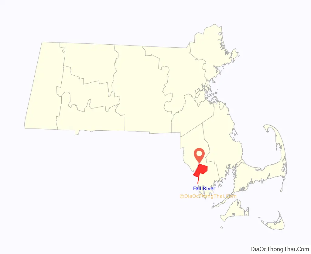
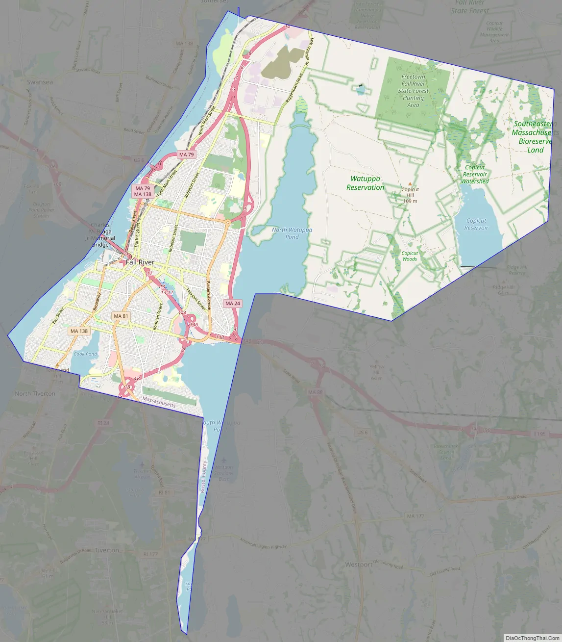
Fall River Road Map
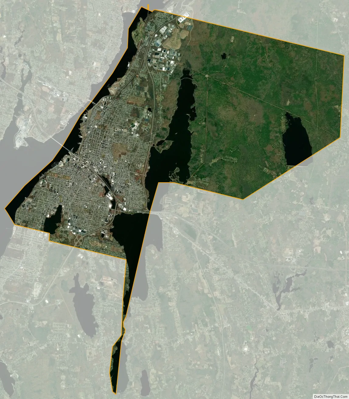
Fall River city Satellite Map
Geography
According to the U.S. Census Bureau, the city has a total area of 40.2 square miles (104.2 km), of which 33.1 square miles (85.8 km) is land and 7.1 square miles (18.4 km), or 17.68%, is water.
Water power from the Quequechan River and natural granite helped form and shape Fall River into the city it is today. The Quequechan River once flowed through downtown unrestricted, providing water power for the mills and, in the last 1⁄2 mile (0.8 km) of its length, down a series of eight steep waterfalls falling 128 feet (39 m) into the Taunton River at the head of the deep Mount Hope Bay. Fall River and surrounding areas are located in the northeastern coastal forests, which make up the temperate broadleaf and mixed forest biome.
Fall River was the only city on the East Coast of the United States to have had an exposed waterfall in part of its downtown area; it flowed less than 1⁄2 mile (0.8 km) into a sheltered harbor at the edge of downtown. Fall River has two large lakes (originally one lake) and a large portion of protected woodlands on the eastern part of the city, which is higher in elevation, with the Quequechan River draining out of the ponds and flowing 2.5 miles (4.0 km) through the heart of the city, emptying out an estimated 26 million US gallons (98×10 L) per day into the deep Mount Hope Bay/Taunton River estuary in the western part of the city.
The city lies on the eastern border of Mount Hope Bay, which begins at the mouth of the Taunton River starting south from the Charles M. Braga Jr. Memorial Bridge. The greater portion of the city is built on hillsides rising quite abruptly from the water’s edge to a height of more than 200 feet (60 m). From the summits of these hills, the terrain extends back in a comparatively level table-land, on which a large section of the city now stands.
Two miles (3 km) eastward from the shore lies a chain of deep and narrow ponds, eight miles (13 km) long, with an average width of three-quarters of a mile, and covering an area of 3,500 acres (14 km). These ponds are supplied by springs and brooks, draining a watershed of 20,000 acres (81 km). The northern pond is the North Watuppa Pond, the city’s main reservoir. The southern pond is the South Watuppa Pond. The narrow strip of land where the two ponds meet is known as The Narrows. East of the North Watuppa Pond is the Watuppa Reservation, which includes several thousand acres of forest-land for water supply protection that extends north into the Freetown-Fall River State Forest, and east to the Copicut Reservoir. Copicut Pond is located on the border of Dartmouth in North Dartmouth’s Hixville section that borders Fall River. Copicut Hill, the highest point in Fall River, is located between North Watuppa Pond and the Copicut Reservoir. The hill has a summit elevation of greater than 404 feet (123 m) above sea level.
The Quequechan River breaks out of its bed in the west part of the South Watuppa Pond, just west of The Narrows, and flows through the city (partially underground in conduits) where it falls to a channel leading to what is now Fall River Heritage State Park at Battleship Cove on the Taunton River. The Quequechan River originally flowed unconfined over an almost level course for more than a mile. In the last half-mile (800 m) of its progress it rushes down the hillside in a narrow, precipitous, rocky channel, creating the falls for which Fall River is named. In this distance the total fall is about 132 feet (40 m). and the volume of water 122 cubic feet (3.5 m) per second.
Originally an attractive feature of the landscape, the Quequechan has seldom been visible since it was covered over by cotton mills and the Bay Colony Railroad line in the 19th century. As the Quequechan became an underground feature of the industrial landscape, it also became a sewer. In the 20th century the mills were abandoned and some of them burned, exposing the falls once more. Because of highway construction in the 1960s, the waterfalls were buried under Interstate 195, which crosses the Taunton River at Battleship Cove. Plans exist to “daylight” the falls, restore or re-create them, and build a green belt with a bicycle path along the Quequechan River.
In the south end, Cook Pond, also formerly known as Laurel Lake, is located east of the Taunton River and west of the South Watuppa Pond. The area between the modern day Cook and South Watuppa Ponds, east of the Taunton River and north of Tiverton, Rhode Island, was once referred to as “Pocasset Swamp” during King Philip’s War in 1675–1676.
Neighborhoods
The city is divided into two by I-195; downtown sits between them. The two sections of the city contain a number of distinct neighborhoods.
Northern Neighborhoods (“The North End”; North of I-195, extending to the city’s northern border with Freetown, Massachusetts and western border with Dartmouth, Massachusetts)
- Waterfront/Battleship Cove (east of Route 79 to the edge of the Taunton River/Mount Hope Bay)
- The Highlands
- Lower Highlands (Bedford St, up High St to Prospect St)
- Upper Highlands (Prospect St along President Ave, up to Wilson Rd)
- Fall River Industrial Park (“Airport Road,” area north of Wilson Rd bounded to the west by Route 24 and to the east by Riggenbach Rd)
- Fall River/Freetown State Forest
Southern Neighborhoods (“The South End”; South of I-195, extending to the city’s southern border with Tiverton, RI)
- Flint Village (“The Flint”)South and east of Bedford and Quarry Sts, respectively)
- Globe Village (Cook Pond, Broadway)
- Townsend Hill (South Main and Bay St Neighborhoods bordering Tiverton, R.I.)
- Maplewood
Parks
Fall River has 23 municipal parks and playgrounds, including three designed by landscape architect Frederick Law Olmsted. Fall River’s more notable parks include:
- Kennedy Park (Olmsted, 1868): South Main Street, 54 acres, four tennis courts, three baseball fields, two basketball courts, softball field, skating pond, playground
- North Park (Olmsted, 1901): President Avenue, 25 acres, two baseball fields, two basketball courts, playground, skating pond, skate park
- Ruggles Park (Olmsted, 1903): Locust Street, 9 acres, basketball court, playground, softball field
- Bicentennial Park: Davol Street, 2 acres, boat ramp
- Lafayette Park: Eastern Avenue, 11 acres, baseball field, basketball court, playground, swimming pool, tennis court, skate park
- Quequechan River Rail Trail: 2.5 mile Bike path from Britland Park and Rodman Street to Westport Line on Route 6
The city is also home to several Massachusetts state parks, including Fall River Heritage State Park and Freetown-Fall River State Forest.
See also
Map of Massachusetts State and its subdivision: Map of other states:- Alabama
- Alaska
- Arizona
- Arkansas
- California
- Colorado
- Connecticut
- Delaware
- District of Columbia
- Florida
- Georgia
- Hawaii
- Idaho
- Illinois
- Indiana
- Iowa
- Kansas
- Kentucky
- Louisiana
- Maine
- Maryland
- Massachusetts
- Michigan
- Minnesota
- Mississippi
- Missouri
- Montana
- Nebraska
- Nevada
- New Hampshire
- New Jersey
- New Mexico
- New York
- North Carolina
- North Dakota
- Ohio
- Oklahoma
- Oregon
- Pennsylvania
- Rhode Island
- South Carolina
- South Dakota
- Tennessee
- Texas
- Utah
- Vermont
- Virginia
- Washington
- West Virginia
- Wisconsin
- Wyoming