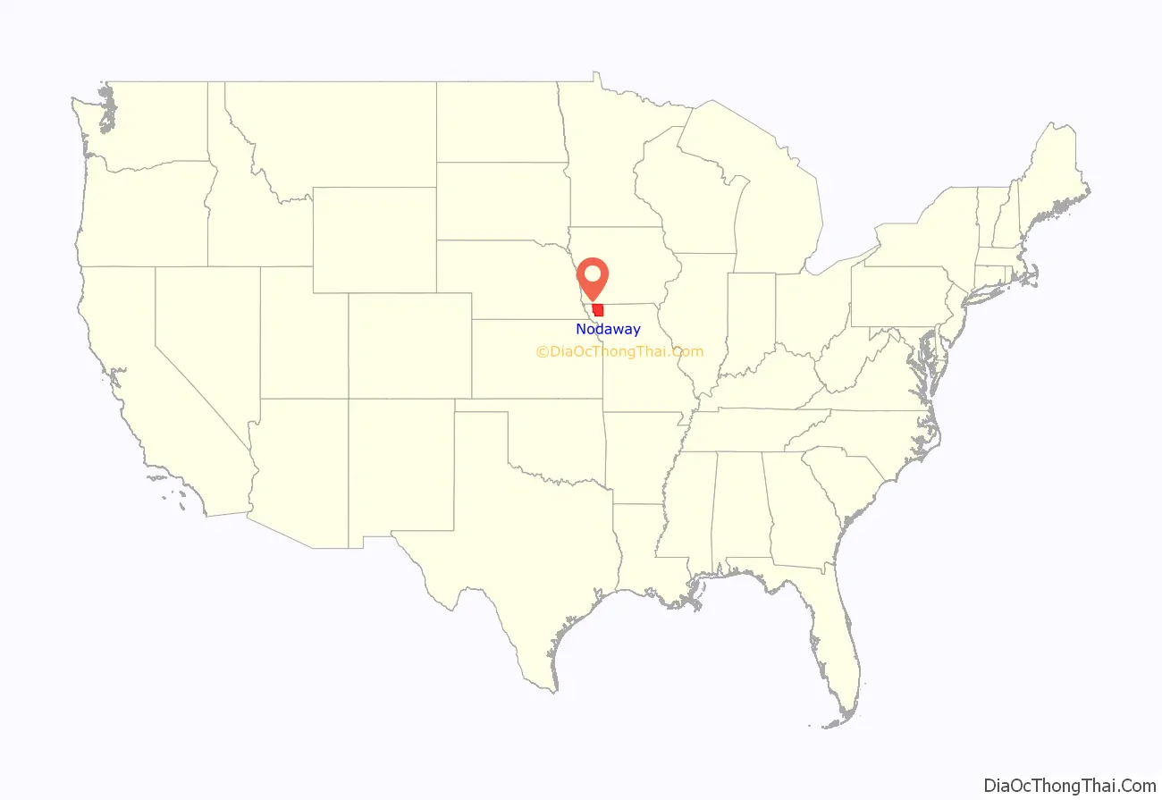
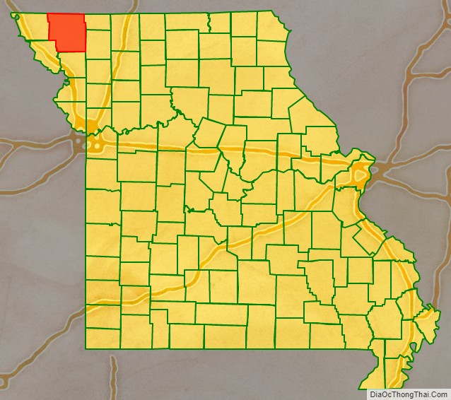
Nodaway County is a county located in the northwest part of Missouri. As of the 2010 census, the population was 23,370. Its county seat is Maryville. The county was organized February 14, 1845 and is named for the Nodaway River. It is the largest in area of the counties added to Missouri in the 1836 Platte Purchase and the fourth-largest county by area in Missouri.
Nodaway County comprises the Maryville, MO Micropolitan Statistical Area.
| Name: | Nodaway County |
|---|---|
| FIPS code: | 29-147 |
| State: | Missouri |
| Founded: | February 14, 1845 |
| Named for: | Nodaway River |
| Seat: | Maryville |
| Largest city: | Maryville |
| Total Area: | 878 sq mi (2,270 km²) |
| Land Area: | 877 sq mi (2,270 km²) |
| Total Population: | 23,370 |
| Population Density: | 27/sq mi (10/km²) |
| Time zone: | UTC−6 (Central) |
| Summer Time Zone (DST): | UTC−5 (CDT) |
| Website: | www.nodawaycountymo.com |
Nodaway County location map. Where is Nodaway County?
History
The county has a rich agricultural history. It is the home of trainers Ben Jones and Jimmy Jones, whose horses won six Kentucky Derby races and two Triple Crowns.
The county is home to Northwest Missouri State University. The university’s grounds were a re-creation of the landscape of the 1904 St. Louis World’s Fair. In 1993, Northwest was designated by the Missouri State Legislature as the official Missouri Arboretum. ESPN has carried the university’s participation in five national championship football games, three of which they won.
U.S. Supreme Court Justice Clarence Thomas studied to become a priest at Conception Seminary College, before giving it up for law. The Benedictine Sisters of Perpetual Adoration convent in neighboring Clyde has 550 relics of saints, the largest collection in the nation.
Located in Tornado Alley, many tornadoes have struck the county, including an F4 tornado on April 10, 1979, which obliterated the town of Braddyville, Iowa across the county line. Tornadoes have damaged two of the county’s largest buildings, the Administration Building on the campus of Northwest Missouri State University and Conception Abbey. The 1881 Hopkins tornado is one of the first recorded F5 tornadoes.
Early life in the county was chronicled by writer Homer Croy, a Nodaway County native, in many books, articles, films and Broadway shows in the 1920s and 1930s.
Etymology
The origin of the name “Nodaway” has been attributed to a Pottawatomie name for “placid,” a Dakota Sioux name for “crossed without canoe,” and various tribes names for “snake.”
Nodaway County Road Map
Geography
According to the U.S. Census Bureau, the county has a total area of 878 square miles (2,270 km), of which 877 square miles (2,270 km) is land and 0.9 square miles (2.3 km) (0.1%) is water. It is the fifth-largest county in Missouri by area. Iowa forms the northern border of Nodaway County.
Adjacent counties
- Page County, Iowa (northwest)
- Taylor County, Iowa (north)
- Worth County (northeast)
- Gentry County (southeast)
- Andrew County (south)
- Holt County (southwest)
- Atchison County (west)
