Northampton County is a county in the Commonwealth of Pennsylvania. As of the 2020 census, the population was 312,951. Its county seat is Easton. The county was formed in 1752 from parts of Bucks County. Its namesake was the county of Northamptonshire in England, and the county seat of Easton was named for the country house Easton Neston in Northamptonshire.
Northampton County and Lehigh County to its west combine to form the eastern Pennsylvania region known as the Lehigh Valley, and both counties are included in the Philadelphia media market, the nation’s fourth largest media market. Lehigh County, with a population of 374,557 of the 2020 U.S. census, is the more highly populated of the two counties.
Northampton County is industrially oriented, producing cement and other industrial products. It was a center for global cement production with the world’s then-largest cement producer Atlas Portland Cement Company operating in the county for nearly a century from 1895 until 1982. Bethlehem Steel, one of the world’s largest manufacturers of steel throughout the 20th century, was located in the county prior to its dissolution in 2003.
The Lehigh River, a 109-mile-long (175 km) tributary of the Delaware River, flows through Northampton County. The county borders Carbon County and the Poconos to the north, Lehigh County to the west, Bucks County, and the Delaware Valley to the south, and the Delaware River, which divides Pennsylvania and New Jersey, to the east.
| Name: | Northampton County |
|---|---|
| FIPS code: | 42-095 |
| State: | Pennsylvania |
| Founded: | March 11, 1752 |
| Named for: | Northamptonshire |
| Seat: | Easton |
| Largest city: | Bethlehem |
| Total Area: | 377 sq mi (980 km²) |
| Land Area: | 370 sq mi (1,000 km²) |
| Total Population: | 312,951 |
| Population Density: | 830/sq mi (320/km²) |
| Time zone: | UTC−5 (Eastern) |
| Summer Time Zone (DST): | UTC−4 (EDT) |
| Website: | www.northamptoncounty.org |
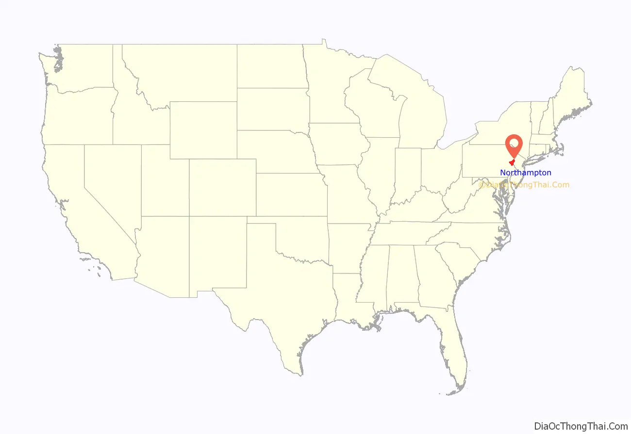
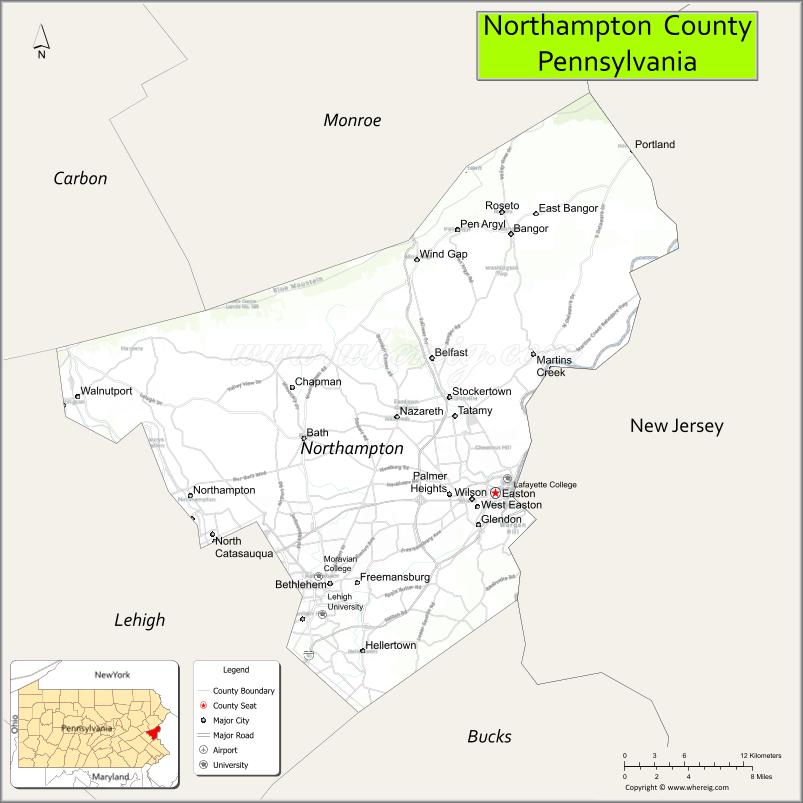
Northampton County location map. Where is Northampton County?
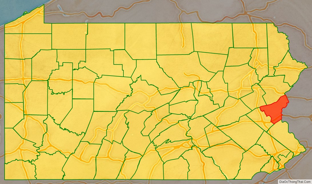
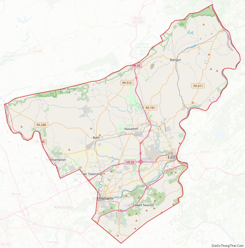
Northampton County Road Map
Geography
According to the U.S. Census Bureau, the county has a total area of 377 square miles (980 km), of which 370 square miles (960 km) is land and 7.7 square miles (20 km) (2.0%) is water. The climate is humid continental (mostly Dfa with a little Dfb in higher northern areas) and the hardiness zones are 6b and 6a. Average monthly temperatures in downtown Bethlehem average from 29.1 °F in January to 74.1 °F in July, while in Wind Gap they average from 27.0 °F in January to 71.7 °F in July.
Adjacent counties
- Monroe County (north)
- Warren County, New Jersey (east)
- Bucks County (south)
- Lehigh County (west)
- Carbon County (northwest)
National protected areas
- Delaware Water Gap National Recreation Area (part)
- Middle Delaware National Scenic River (part)
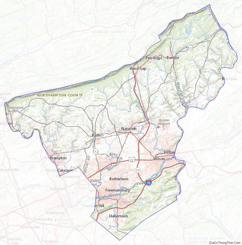
Northampton County Topographic Map
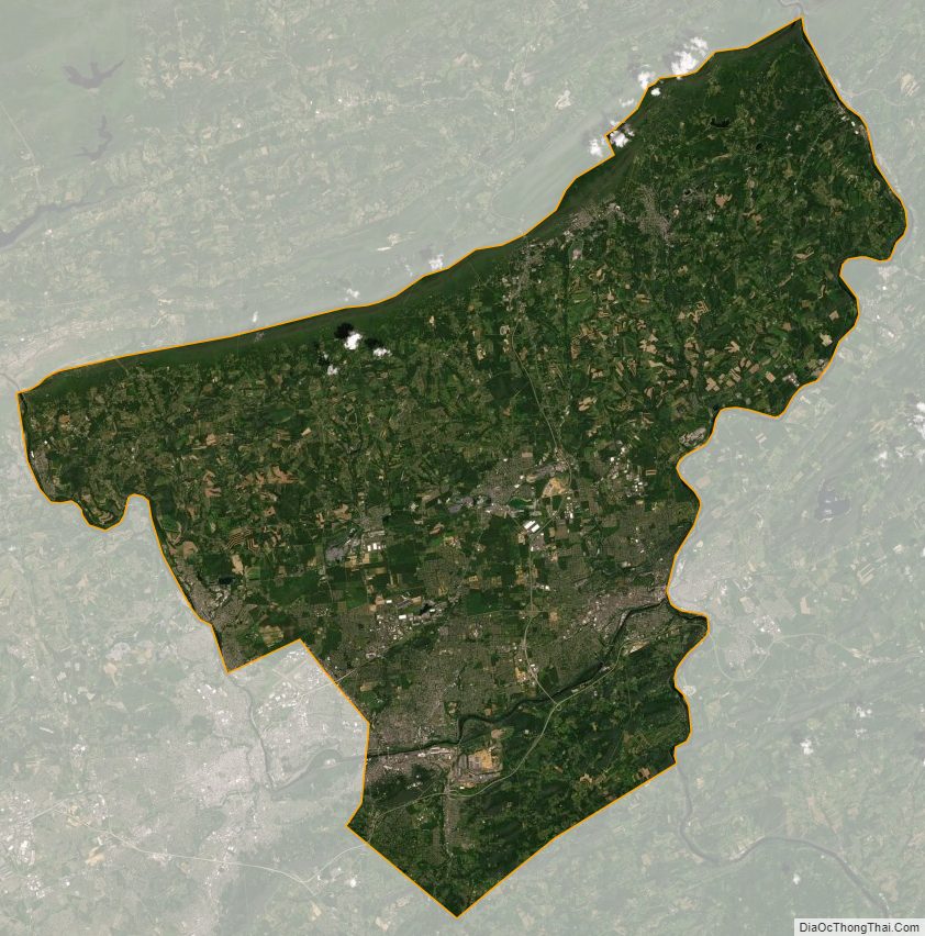
Northampton County Satellite Map
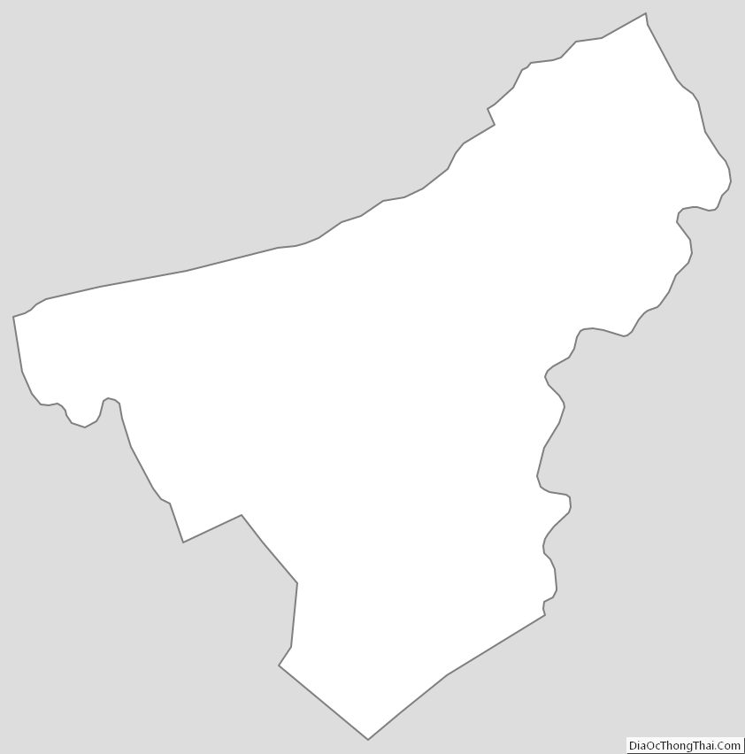
Northampton County Outline Map