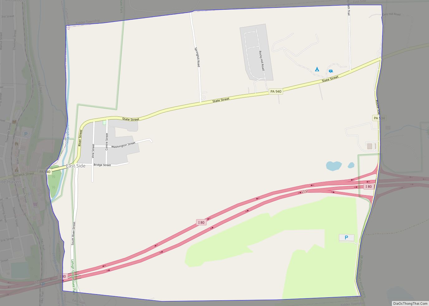
Carbon County is a county in the Commonwealth of Pennsylvania. It is located in Northeastern Pennsylvania. As of the 2020 census, the population was 64,749. The county is also part of Pennsylvania’s Coal Region and Northeastern Pennsylvania.
The county seat of Carbon County is Jim Thorpe, which was founded in 1818 as Mauch Chunk and served as a company town of the Lehigh Coal & Navigation Company. The Lehigh River, a 109-mile-long (175 km) tributary of the Delaware River, flows through Carbon County.
| Name: | Carbon County |
|---|---|
| FIPS code: | 42-025 |
| State: | Pennsylvania |
| Founded: | 1843 |
| Named for: | Coal deposits |
| Seat: | Jim Thorpe |
| Total Area: | 387 sq mi (1,000 km²) |
| Land Area: | 381 sq mi (990 km²) |
| Total Population: | 65,412 |
| Population Density: | 170/sq mi (70/km²) |
| Time zone: | UTC−5 (Eastern) |
| Summer Time Zone (DST): | UTC−4 (EDT) |
| Website: | carboncounty.com |
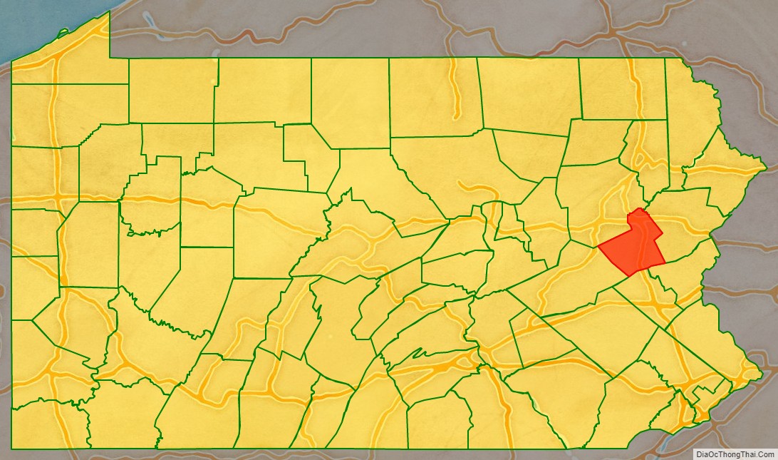
Carbon County location map. Where is Carbon County?

History
Moravian settlement
In 1745, the first colonial settlement in Carbon County was established by a Moravian mission in Gnadenhutten, which is present day Lehighton. By 1752, increased hostility put Gnadenhutten at risk for attack, and in 1755 the community was attacked by Native Americans. The settlement at the Lehigh Gap failed and colonizers didn’t reenter the area before the late 1780.
Discovery of coal
In 1791, a homesteader, Phillip Ginter hunting on Sharp Mountain along Pisgah Ridge found a black tone coal outcropping, and conveyed a chunk of it to Weissport.
Industrialization
Lehigh Coal Mine Company (LCMC) operations had managed to open up the mouth area of the Nesquehoning Creek by 1800. This area became known as Lausanne, or Lausanne Landing, after the Inn & Tavern built there called Landing Tavern. An Amerindian trail crossed the stream near the confluence with Jean’s Run and the camp grounds of their boat builders, climbing northwestwards along a traverse to the next water gap west, eroded into the southern flank of Broad Mountain in the Lehigh Valley. It connected across a barrier ridge whose waters originated in the saddle-pass in which Hazleton, Pennsylvania was built. The trail would become the Lehigh & Susquehanna Turnpike in 1804. Today, Pennsylvania Route 93 follows this route with the exception of where modern road building capabilities allowed improved positioning. This road cut off 90–100 miles (140–160 km) from a trip from Philadelphia to the Wyoming Valley and the northern sections of the Coal Region.
In 1827, Lehigh Coal & Navigation Company, based in present-day Jim Thorpe, launched the Mauch Chunk Switchback Railway, the nation’s second operating railroad. The Beaver Meadow Railroad and Coal Company, also located in Carbon County, was the first railway to operate steam locomotives as traction engines and prime movers in the United States. The Mauch Chunck Switchback Railway connected mines west of Beaver Meadows and Weatherly to the Lehigh Canal opposite Lehighton.
County’s founding
Carbon County was created on March 13, 1843 from parts of Northampton and Monroe counties and was named for the extensive deposits of anthracite coal in the region, where it was first discovered in 1791. Early attempts were made to exploit the deposits by the Lehigh Coal Mine Company (1792), whose expeditions broke trail and pioneered river bank sites using mule powered technology to log, saw, and build arks to carry bags of coal to Philadelphia with only scant success.
Molly Maguires
In the 19th century, Carbon County was the location of trials and executions of the Molly Maguires, an Irish secret society that had been accused of terrorizing the region.
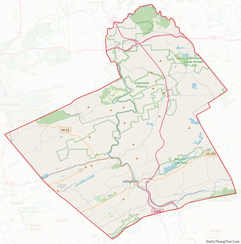
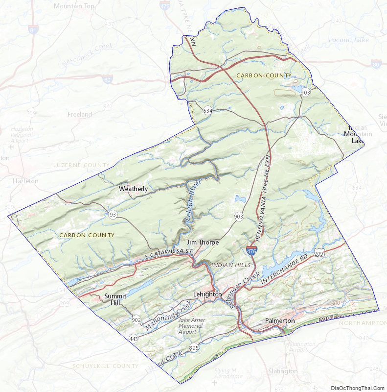
Carbon County Road Map

Geography
According to the U.S. Census Bureau, the county has a total area of 387 square miles (1,000 km), of which 381 square miles (990 km) is land and 5.9 square miles (15 km) (1.5%) is water. Blue Mountain forms the southern boundary of Carbon. The northeast area of the county is located in the Pocono Mountains and the northwest area includes portions of Broad and Spring mountains. It is drained by the Lehigh River except for a small area in western Packer Township and the borough of Lansford that are drained by the Still Creek and Panther Creek, respectively, into the Little Schuylkill River and the Schuylkill River, and the Audenried area in the northwest corner that drains into the Susquehanna River via the Catawissa Creek. The Lehigh cuts a gorge between Jim Thorpe and White Haven which hosts the Lehigh Gorge State Park.
Climate
Carbon County has a humid continental climate (Dfa/Dfb) and is mostly in hardiness zone 6a, except for 6b in some southern lowlands and 5b in some northern highlands. Average monthly temperatures at Jake Arner Memorial Airport range from 27.8 °F in January to 72.5 °F in July, while at the Pocono interchange of the Turnpike they range from 22.9 °F in January to 68.3 °F in July. [1]
Adjacent counties
- Luzerne County (north)
- Monroe County (east)
- Northampton County (southeast)
- Lehigh County (south)
- Schuylkill County (southwest)
Carbon County Topographic Map
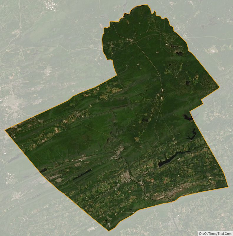
Carbon County Satellite Map
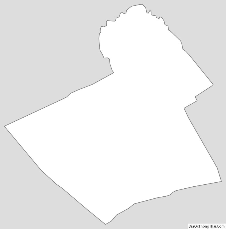
Carbon County Outline Map