| Name: | Ocean County |
|---|---|
| FIPS code: | 34-029 |
| State: | New Jersey |
| Founded: | 1850 |
| Named for: | Atlantic Ocean |
| Seat: | Toms River |
| Largest city: | Lakewood Township (population) Jackson Township (area) |
| Total Area: | 915.40 sq mi (2,370.9 km²) |
| Land Area: | 628.78 sq mi (1,628.5 km²) |
| Total Population: | 637,229 |
| Population Density: | 700/sq mi (270/km²) |
| Website: | www.co.ocean.nj.us |
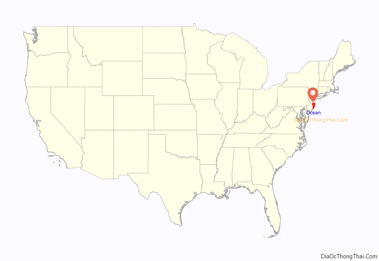
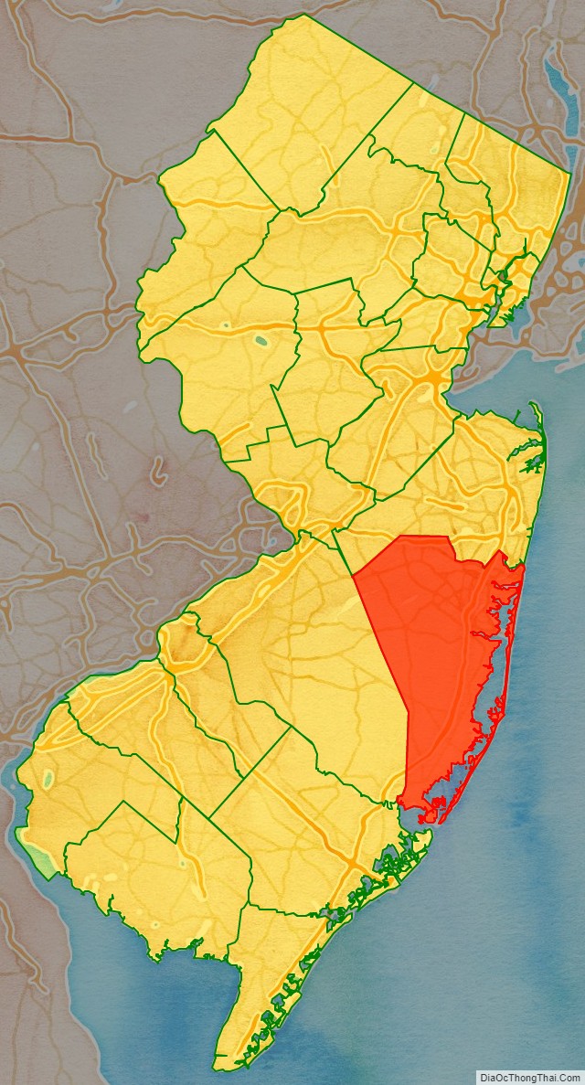
Ocean County location map. Where is Ocean County?
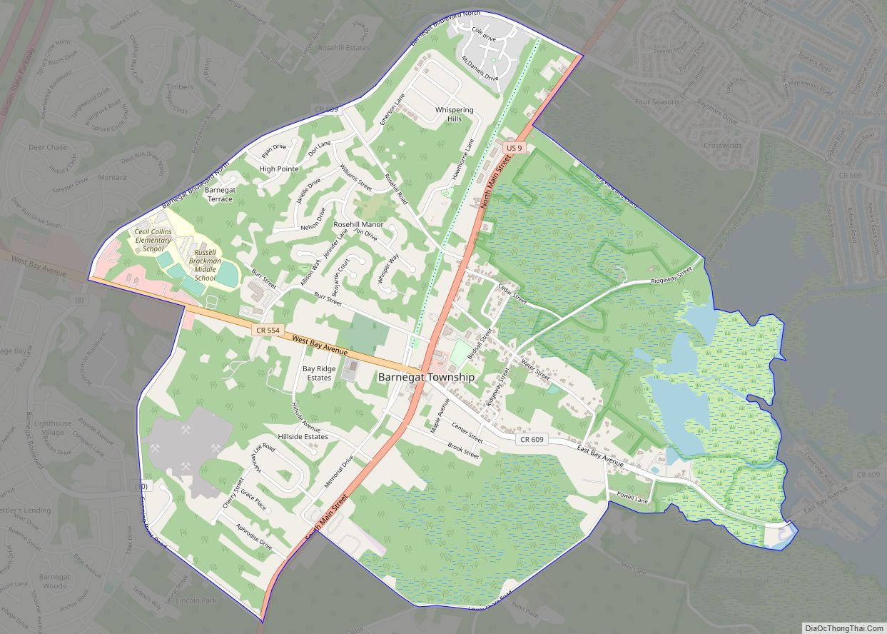
Ocean County Road Map
Geography
According to the U.S. Census Bureau, the county had as of the 2010 Census a total area of 915.40 square miles (2,370.9 km), making it the largest county in New Jersey in terms of total area (ahead of Burlington County’s), total 819.84 sq mi of which 628.78 square miles (1,628.5 km) of land (68.7%) and 286.62 square miles (742.3 km) of water (31.31%).
Much of the county is flat and coastal, with many beaches. The highest point is one of three unnamed hills (one in Jackson Township, the other two in Plumsted Township) that reach at least 230 feet (70 m) in elevation. The lowest elevation in the county is sea level.
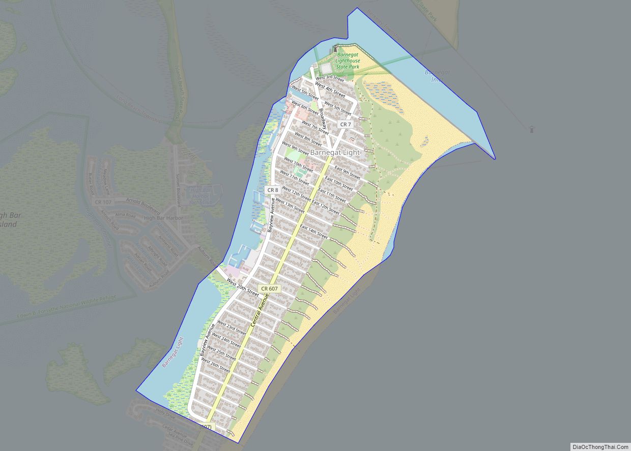
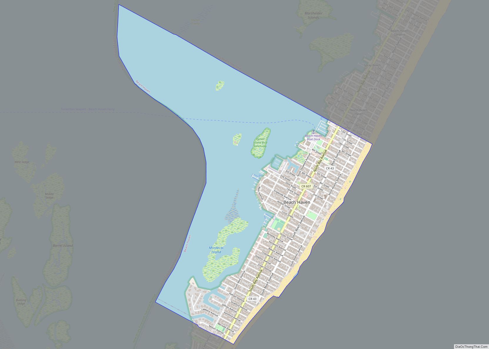
It is also home to many beaches on the Jersey Shore, including Beach Haven, Seaside Heights, Ship Bottom, Surf City, Harvey Cedars, and Barnegat Light.
Climate
Ocean County’s area consists of 31.3% water. The coastal county along the Atlantic Ocean has a humid subtropical climate (Cfa and including the coast). In recent years, average temperatures in the county seat of Toms River have ranged from a low of 24 °F (−4 °C) in January to a high of 85 °F (29 °C) in July, although a record low of −19 °F (−28 °C) was recorded in January 1982 and a record high of 105 °F (41 °C) was recorded in July 1999. Average monthly precipitation ranged from 3.30 inches (84 mm) in February to 4.79 inches (122 mm) in March. Areas closer to the coast typically experience more mild winters and cooler summers due to the Atlantic Ocean’s influence. Average monthly temperatures in Tuckerton near the south end range from 33.2 °F in January to 75.7 °F in July. [3]
