Oceana County (/ˌoʊʃiˈænə/ OH-shee-AN-ə) is a county located in the U.S. state of Michigan. As of the 2020 Census, the population was 26,659. The county seat is Hart. Long known as part of the large Ojibwe territory, the county was founded by European Americans in 1840 and organized in 1855.
Settlers were attracted by access along the White River, which reaches its mouth on Lake Michigan in Muskegon County to the south. Two possibilities have been put forward to explain the county’s name: Oceana County may have been named for Lake Michigan, a freshwater “ocean,” which forms its western border; or it was named for the book Oceana, written by English author James Harrington in 1656.
Oceana County is famous as the “Asparagus Capital of the World” for its high production of asparagus. The annual Asparagus Festival includes a parade and crowning of the Asparagus Queen.
| Name: | Oceana County |
|---|---|
| FIPS code: | 26-127 |
| State: | Michigan |
| Founded: | 1840 (created) 1855 (organized) |
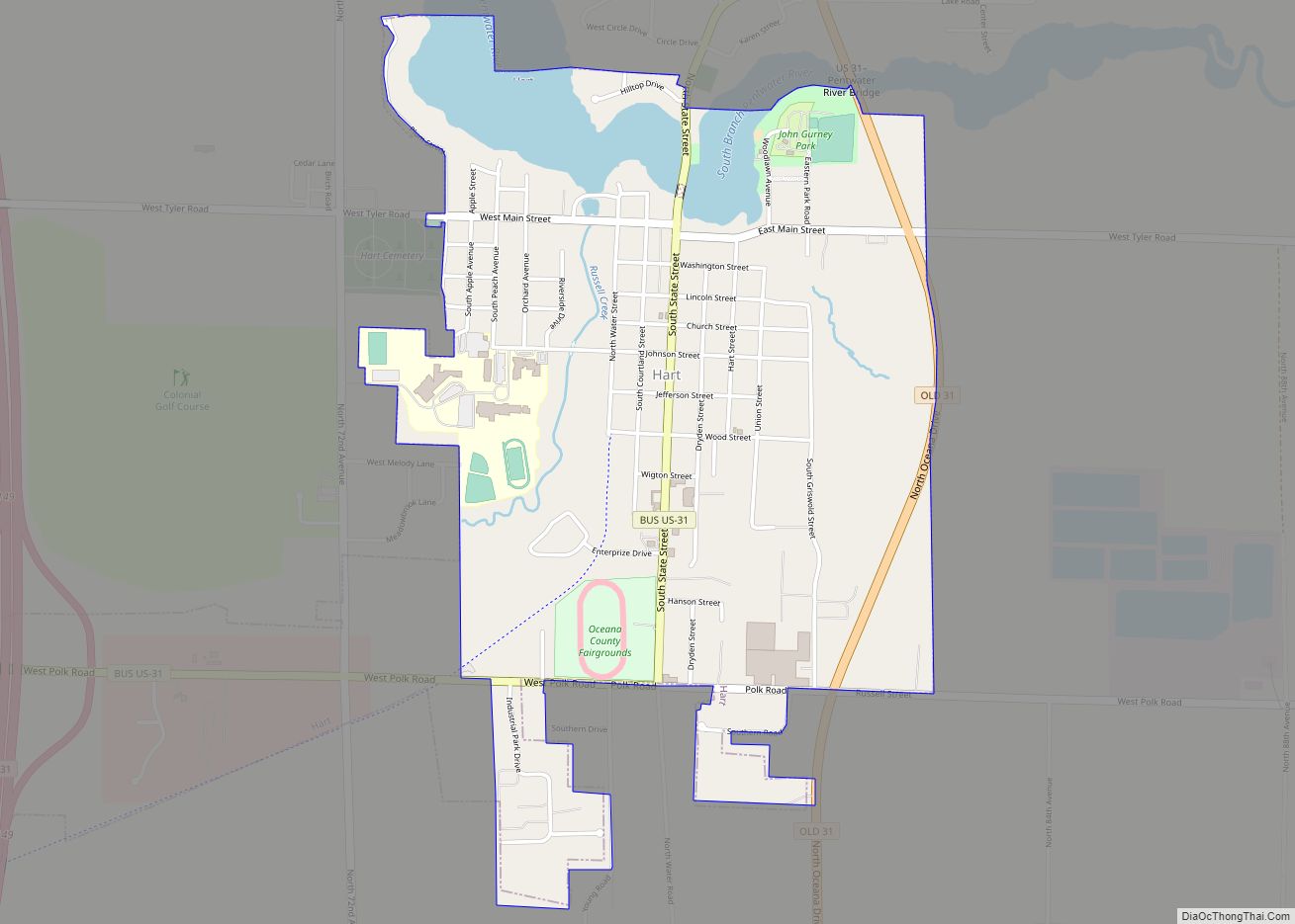
| Seat: | Hart |
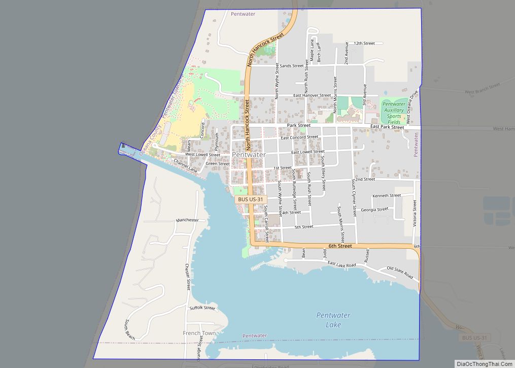
| Largest city: | Pentwater (village) Hart (city) |
| Total Area: | 1,306 sq mi (3,380 km²) |
| Land Area: | 512 sq mi (1,330 km²) |
| Total Population: | 26,659 |
| Population Density: | 52/sq mi (20/km²) |
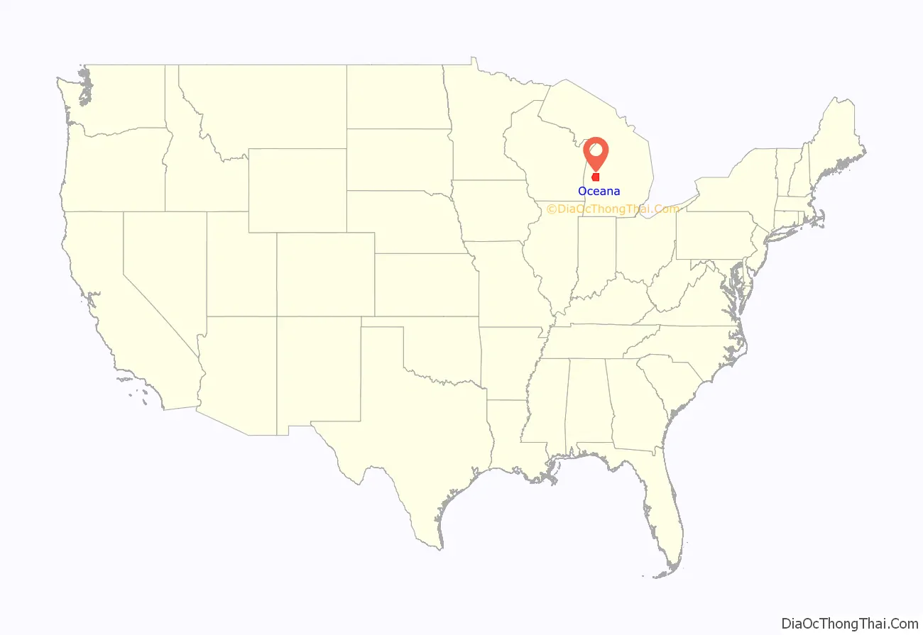
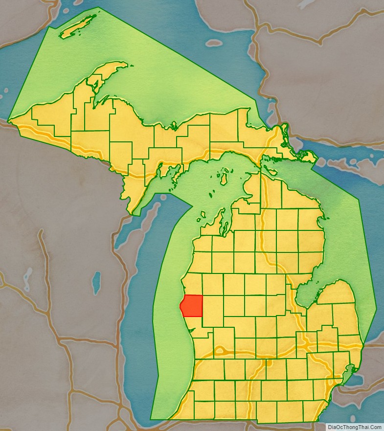
Oceana County location map. Where is Oceana County?
History
In the 1850s about 1400 Odawa were relocated here from Ionia County, Michigan by the federal government.
The county economy was first built on the lumber trade, with logs floated downriver. It later was developed for agriculture. In the 21st century, it is known for its commodity crop of asparagus.
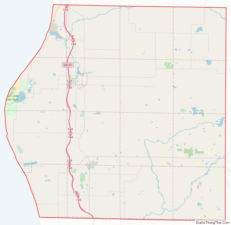
Oceana County Road Map
Geography
According to the U.S. Census Bureau, the county has a total area of 1,306 square miles (3,380 km), of which 512 square miles (1,330 km) is land and 794 square miles (2,060 km) (61%) is water. The county is considered to be part of West Michigan. The county’s western border is formed by Lake Michigan.
Adjacent counties
By land
- Mason County – north
- Lake County – northeast
- Newaygo County – east
- Muskegon County – south
By water
- Ozaukee County, Wisconsin – southwest
- Sheboygan County, Wisconsin – west
National protected area
- Manistee National Forest (part)
Major highways
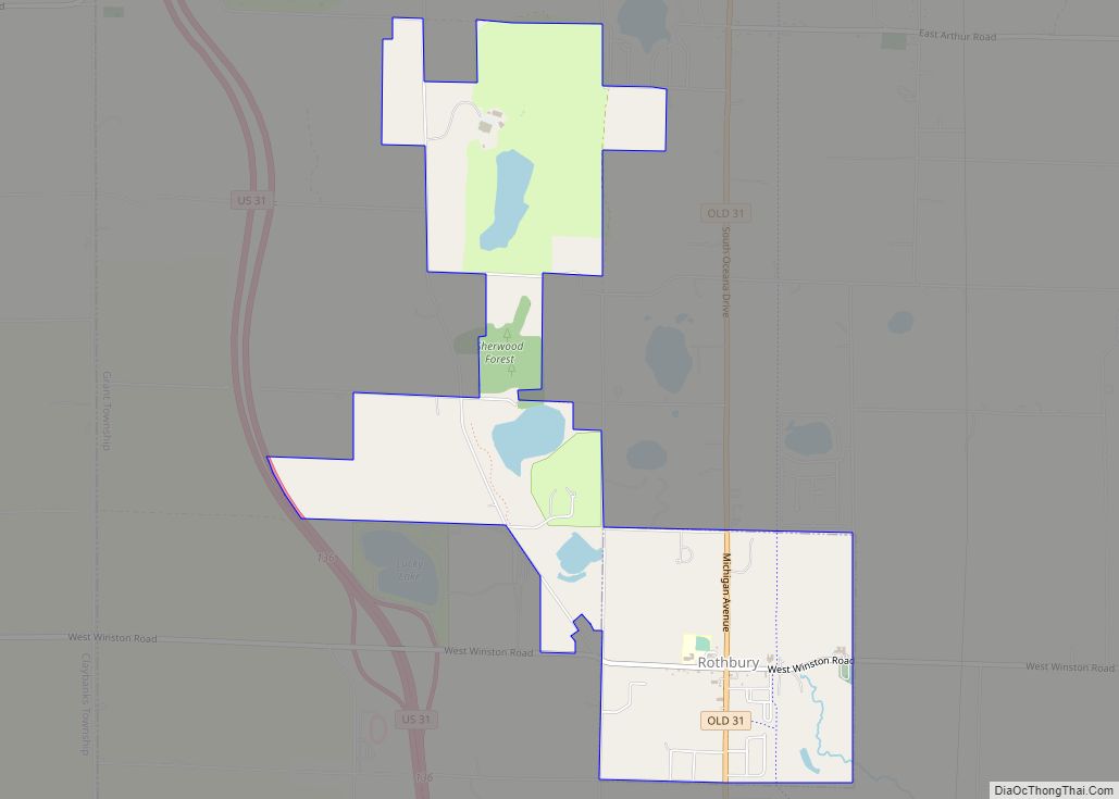
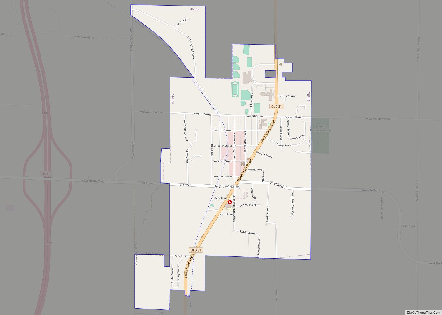
- US 31 is the main route for Oceana County. The freeway runs north–south through the western part of county. It passes Pentwater, Hart, Shelby, Rothbury.
- Bus. US 31 are two business routes in Oceana County; one of the versions is a business loop that runs west of US 31 through Pentwater, while the other version is a business spur running through Hart.
- M-20 is a highway that runs east–west through the southern part of Oceana County. It enters east line at Hesperia, runs west to terminate at US 31 west of New Era.
- M-120 is a highway that runs along the eastern Oceana County line, from the county tri-point with Muskegon, Newaygo, and Oceana counties to an intersection with M-20 at Hesperia.
County designated highways
- B-15
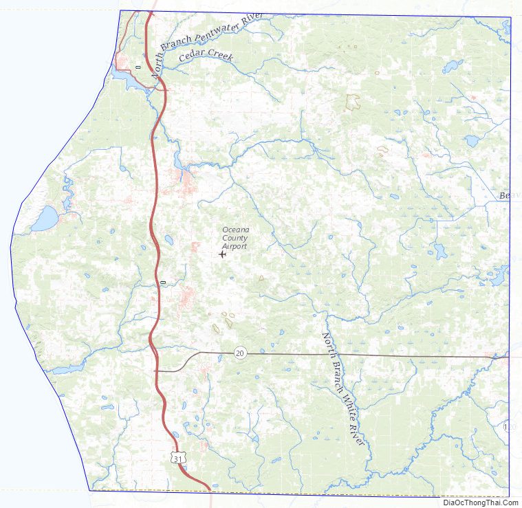
Oceana County Topographic Map
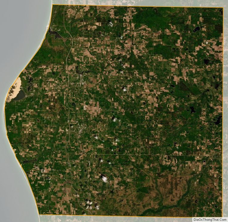
Oceana County Satellite Map
Oceana County Outline Map