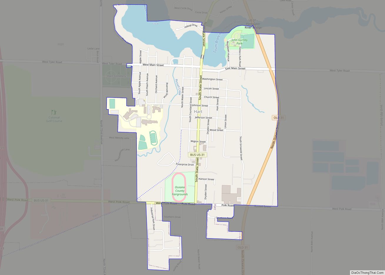
Hart is a city and county seat of Oceana County, Michigan. The population was 2,126 at the time of the 2010 census. The city is located within Hart Township, but is politically independent.
Hart is also home to the north end of the Hart-Montague Trail.
| Name: | Hart city |
|---|---|
| LSAD Code: | 25 |
| LSAD Description: | city (suffix) |
| State: | Michigan |
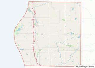
| County: | Oceana County |
| Elevation: | 682 ft (208 m) |
| Total Area: | 1.94 sq mi (5.02 km²) |
| Land Area: | 1.78 sq mi (4.60 km²) |
| Water Area: | 0.16 sq mi (0.42 km²) |
| Total Population: | 2,053 |
| Population Density: | 1,155.32/sq mi (446.00/km²) |
| ZIP code: | 49420 |
| Area code: | 231 |
| FIPS code: | 2636920 |
| GNISfeature ID: | 1620137 |
| Website: | cityofhart.org |
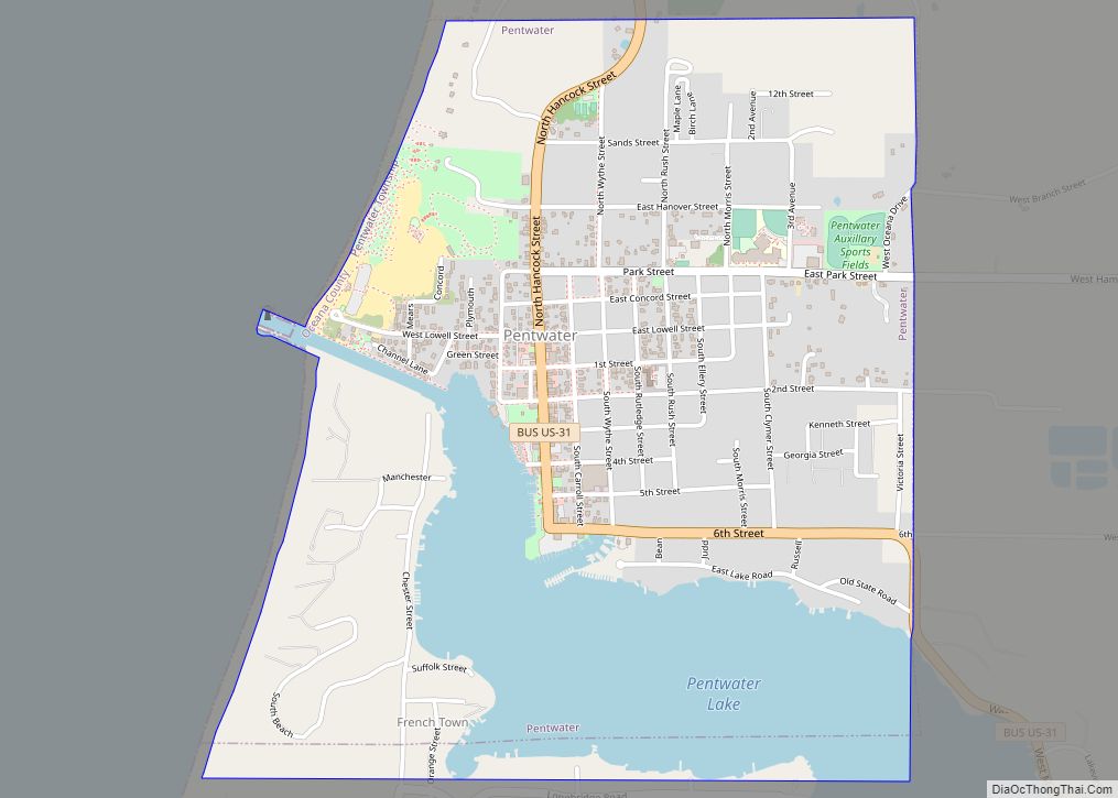
Online Interactive Map
Click on ![]() to view map in "full screen" mode.
to view map in "full screen" mode.
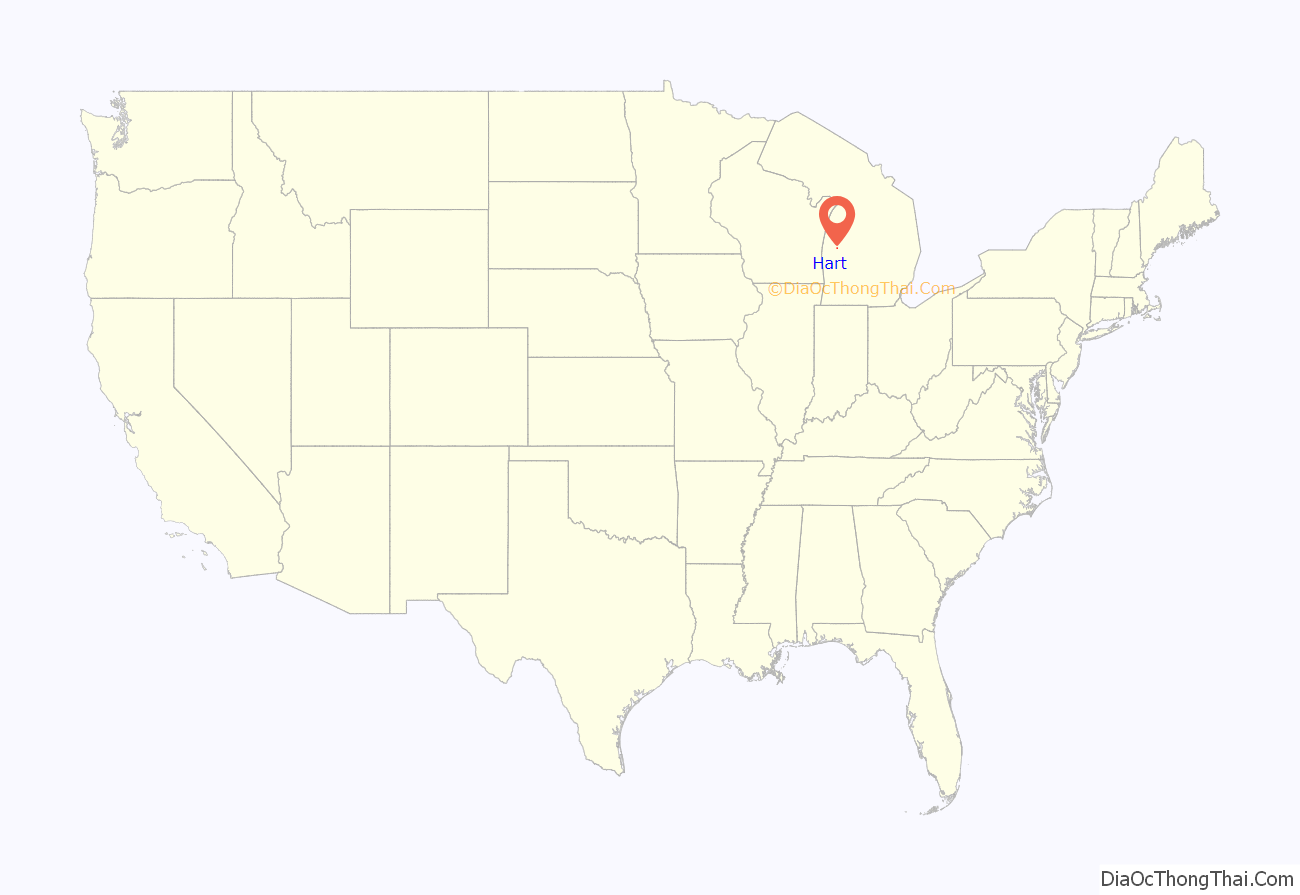
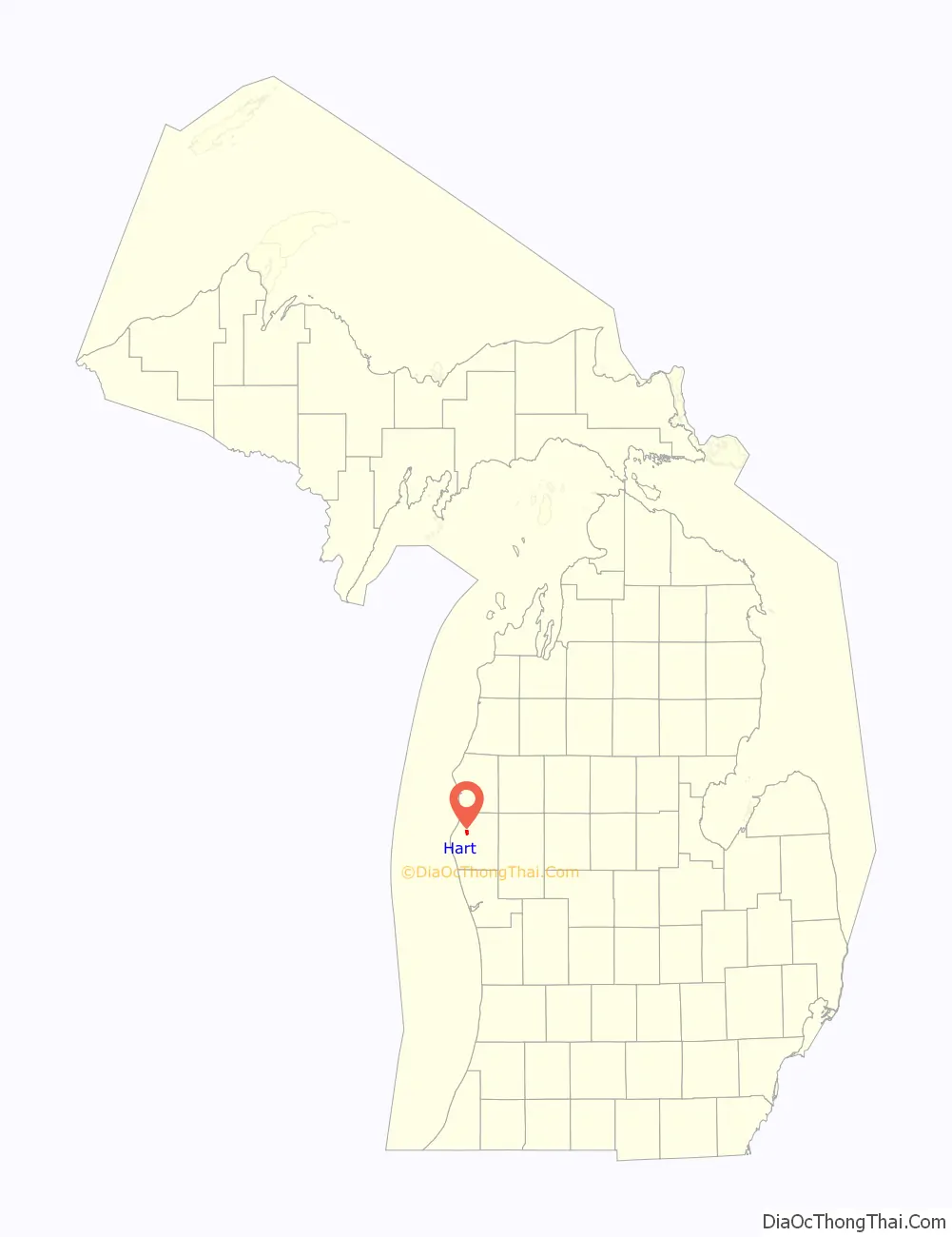
Hart location map. Where is Hart city?
History
Hart was named from its central position in the “heart” of Oceana County.
Hart was founded in 1856 by early pioneers including Nelson Grove. Hart Township was named after Wellington Hart.
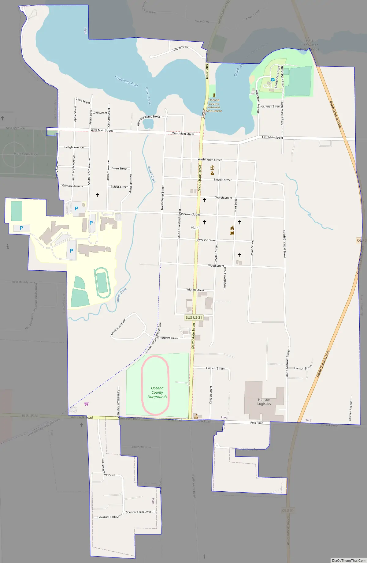
Hart Road Map
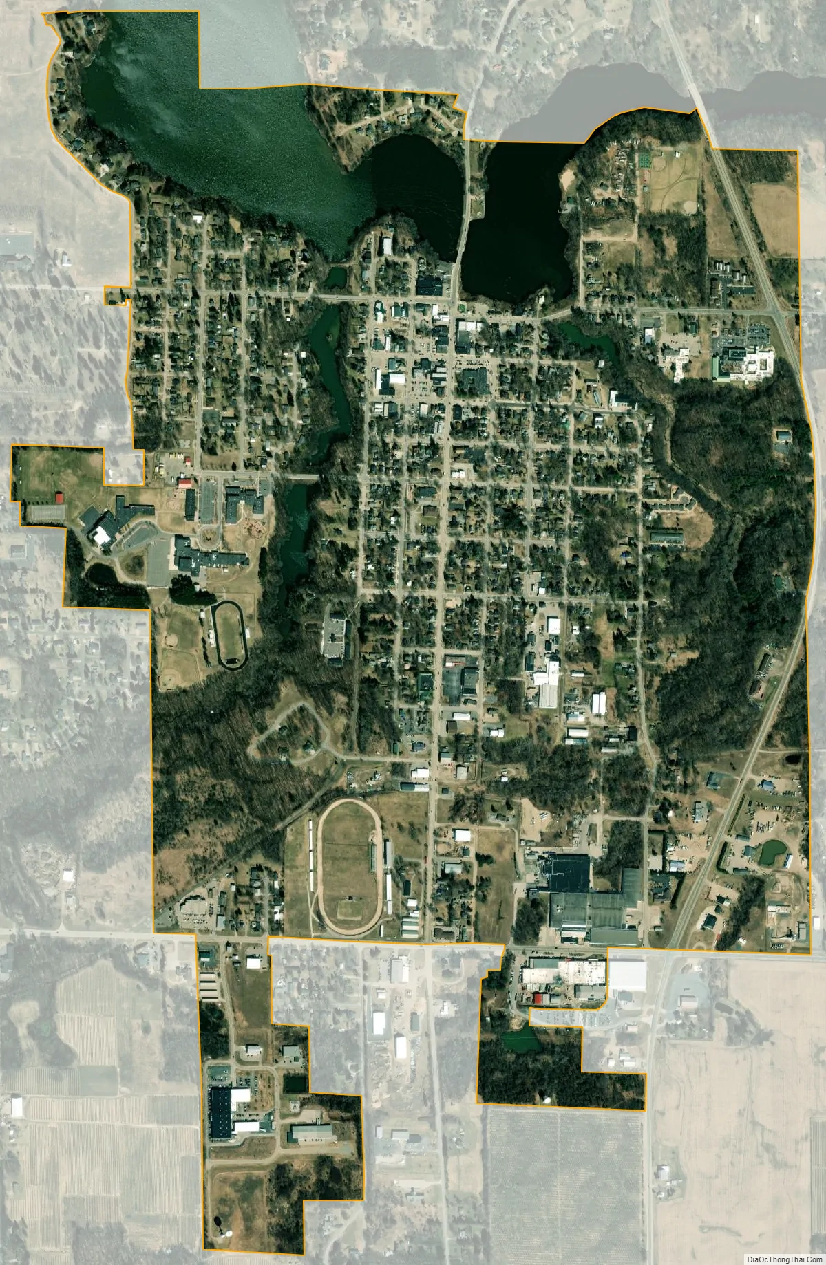
Hart city Satellite Map
Geography
According to the United States Census Bureau, the city has a total area of 2.07 square miles (5.36 km), of which 1.91 square miles (4.95 km) is land and 0.16 square miles (0.41 km) is water.
See also
Map of Michigan State and its subdivision:- Alcona
- Alger
- Allegan
- Alpena
- Antrim
- Arenac
- Baraga
- Barry
- Bay
- Benzie
- Berrien
- Branch
- Calhoun
- Cass
- Charlevoix
- Cheboygan
- Chippewa
- Clare
- Clinton
- Crawford
- Delta
- Dickinson
- Eaton
- Emmet
- Genesee
- Gladwin
- Gogebic
- Grand Traverse
- Gratiot
- Hillsdale
- Houghton
- Huron
- Ingham
- Ionia
- Iosco
- Iron
- Isabella
- Jackson
- Kalamazoo
- Kalkaska
- Kent
- Keweenaw
- Lake
- Lake Hurron
- Lake Michigan
- Lake St. Clair
- Lake Superior
- Lapeer
- Leelanau
- Lenawee
- Livingston
- Luce
- Mackinac
- Macomb
- Manistee
- Marquette
- Mason
- Mecosta
- Menominee
- Midland
- Missaukee
- Monroe
- Montcalm
- Montmorency
- Muskegon
- Newaygo
- Oakland
- Oceana
- Ogemaw
- Ontonagon
- Osceola
- Oscoda
- Otsego
- Ottawa
- Presque Isle
- Roscommon
- Saginaw
- Saint Clair
- Saint Joseph
- Sanilac
- Schoolcraft
- Shiawassee
- Tuscola
- Van Buren
- Washtenaw
- Wayne
- Wexford
- Alabama
- Alaska
- Arizona
- Arkansas
- California
- Colorado
- Connecticut
- Delaware
- District of Columbia
- Florida
- Georgia
- Hawaii
- Idaho
- Illinois
- Indiana
- Iowa
- Kansas
- Kentucky
- Louisiana
- Maine
- Maryland
- Massachusetts
- Michigan
- Minnesota
- Mississippi
- Missouri
- Montana
- Nebraska
- Nevada
- New Hampshire
- New Jersey
- New Mexico
- New York
- North Carolina
- North Dakota
- Ohio
- Oklahoma
- Oregon
- Pennsylvania
- Rhode Island
- South Carolina
- South Dakota
- Tennessee
- Texas
- Utah
- Vermont
- Virginia
- Washington
- West Virginia
- Wisconsin
- Wyoming