Newaygo County (/nəweɪɡoʊ/ nə-WAY-goh) is a county in the U.S. state of Michigan. As of the 2020 United States Census, the population was 49,978. The county seat is White Cloud. The county was created in 1840, and was organized in 1851. It was either named for an Ojibwe leader who signed the Treaty of Saginaw in 1819 or for an Algonquian word meaning “much water”.
| Name: | Newaygo County |
|---|---|
| FIPS code: | 26-123 |
| State: | Michigan |
| Founded: | 1840 |
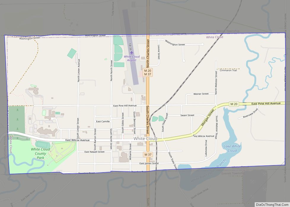
| Seat: | White Cloud |
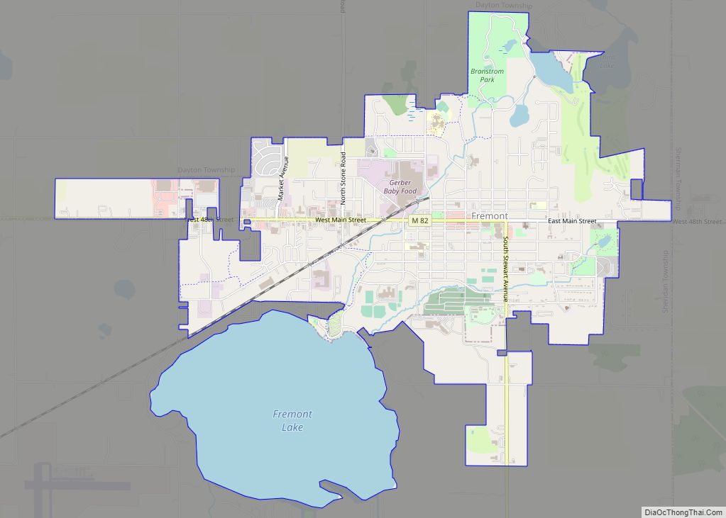
| Largest city: | Fremont |
| Total Area: | 862 sq mi (2,230 km²) |
| Land Area: | 813 sq mi (2,110 km²) |
| Total Population: | 49,978 |
| Population Density: | 60/sq mi (22/km²) |
| Time zone: | UTC−5 (Eastern) |
| Summer Time Zone (DST): | UTC−4 (EDT) |
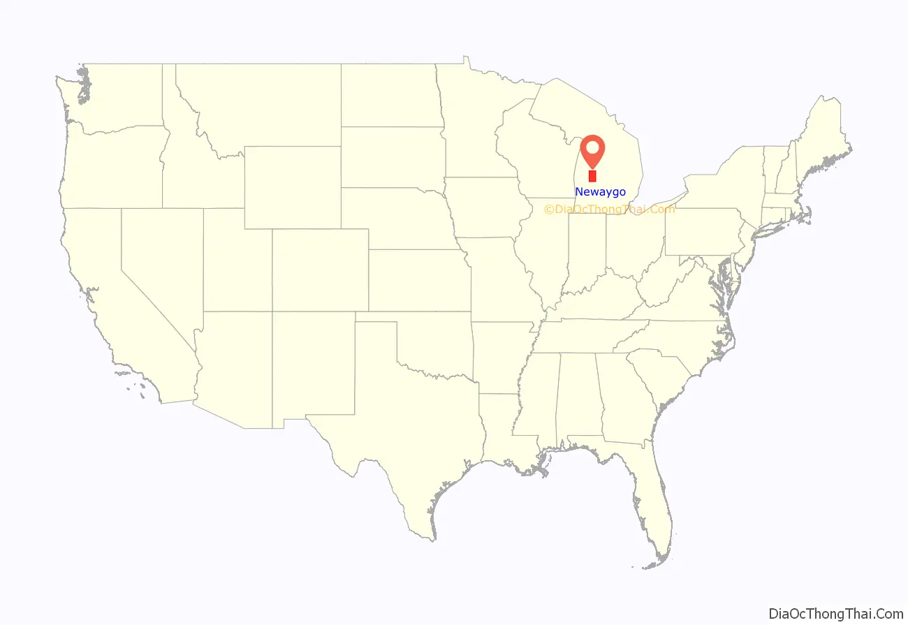
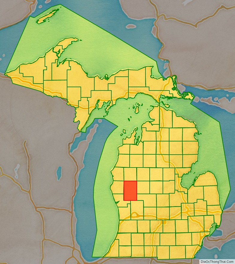
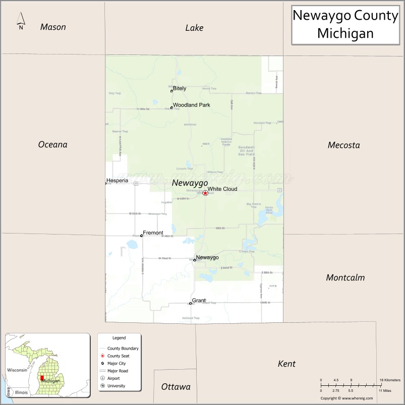
Newaygo County location map. Where is Newaygo County?
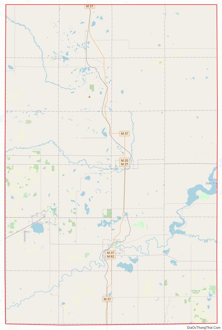
Newaygo County Road Map
Geography
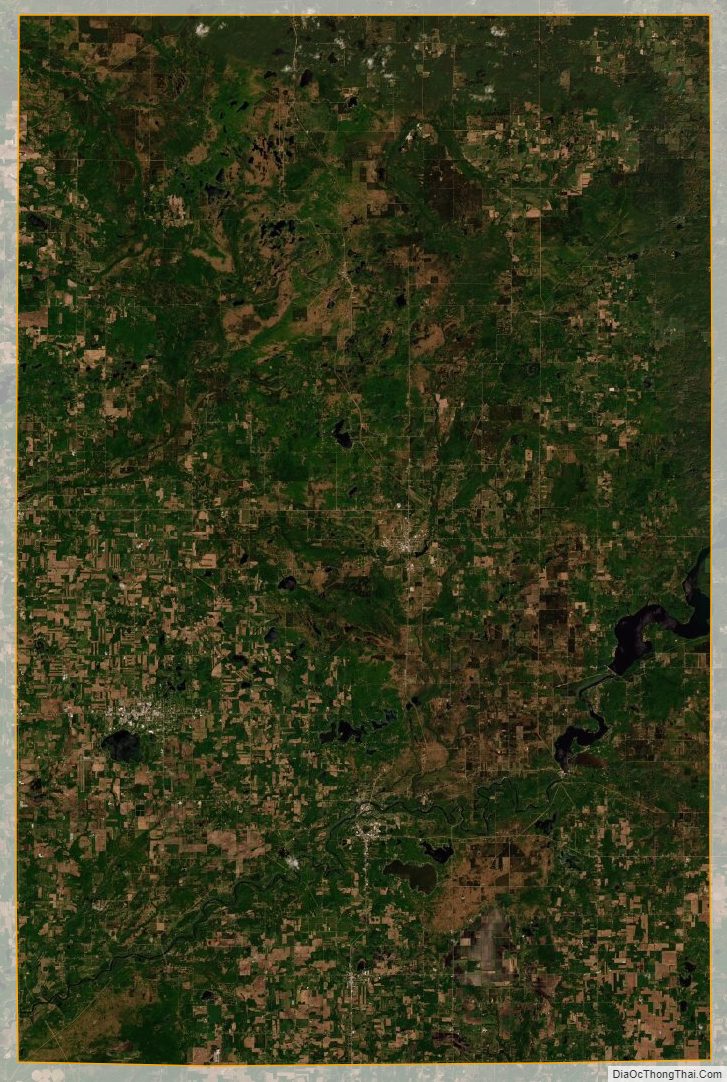
According to the US Census Bureau, the county has an area of 862 square miles (2,230 km), of which 813 square miles (2,110 km) is land and 48 square miles (120 km) (5.6%) is covered by water. The county is considered to be part of West Michigan.
The county has more than 230 natural lakes. The combined total length of all the county’s rivers and streams exceeds 350 miles (560 km). Three huge dams, Croton, Hardy, and Newaygo, were built at the beginning of the 20th century. The Hardy Dam is the largest earthen dam east of the Mississippi. Over half of the county is in the Manistee National Forest.
Rivers
- Muskegon River
- Pere Marquette River
- Rogue River
- White River
Major highways
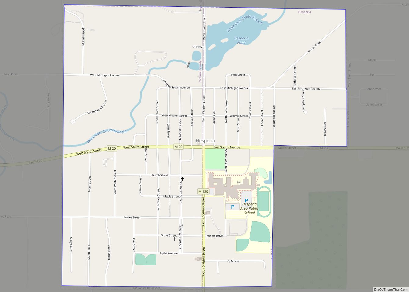
- M-20 runs east–west through center of county. Passes Hesperia, Aetna, and White Cloud.
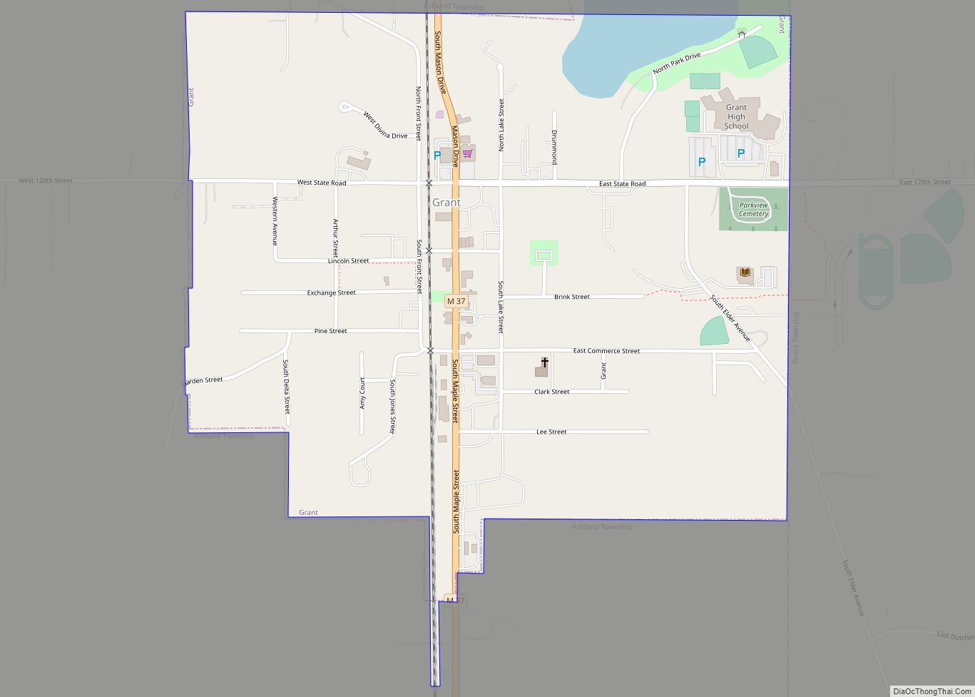
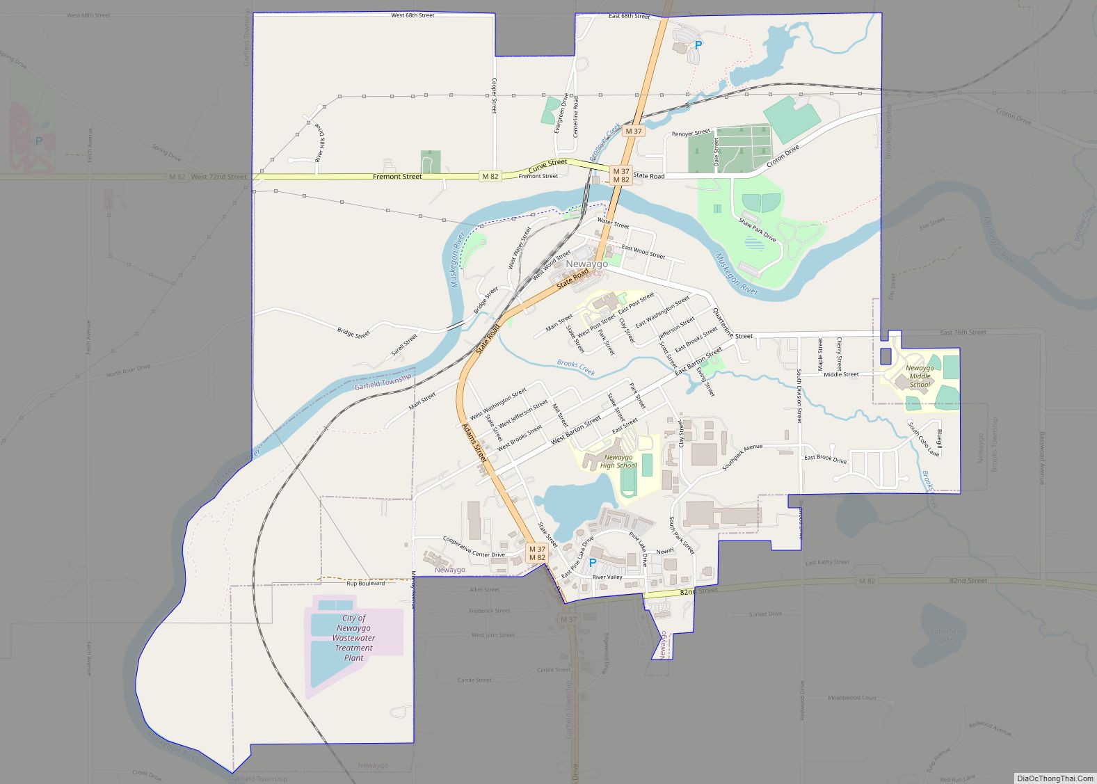
- M-37 runs north–south through center of county. Passes Bitely, Brohman, White Cloud, Newaygo, Grant, and Ashland.
- M-82 runs east–west through southern part of county. Goes through Newaygo. Ends at county line tri-point of Muskegon, Oceana, and Newaygo Counties.
- M-120 runs the length of county’s west line. Terminates in Hesperia.
County designated highways
- B-96
Adjacent counties
- Mason County – northwest
- Lake County – north
- Osceola County – northeast
- Mecosta County – east
- Montcalm County – southeast
- Kent County – south
- Muskegon County – southwest
- Oceana County – west
National protected area
- Manistee National Forest (part)
Newaygo County Topographic Map
Newaygo County Satellite Map
Newaygo County Outline Map