Muskegon County (/məˈskiːɡən/ məs-KEE-gən) is a county in the U.S. state of Michigan. As of 2020, the population was 175,824. The county seat is Muskegon.
Muskegon County comprises the Muskegon, MI Metropolitan Statistical Area, which is part of the larger Grand Rapids–Kentwood-Muskegon, MI Combined Statistical Area.
| Name: | Muskegon County |
|---|---|
| FIPS code: | 26-121 |
| State: | Michigan |
| Founded: | 1859 |
| Named for: | Muskegon River |
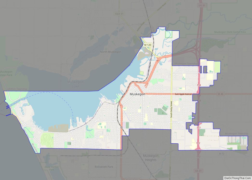
| Seat: | Muskegon |
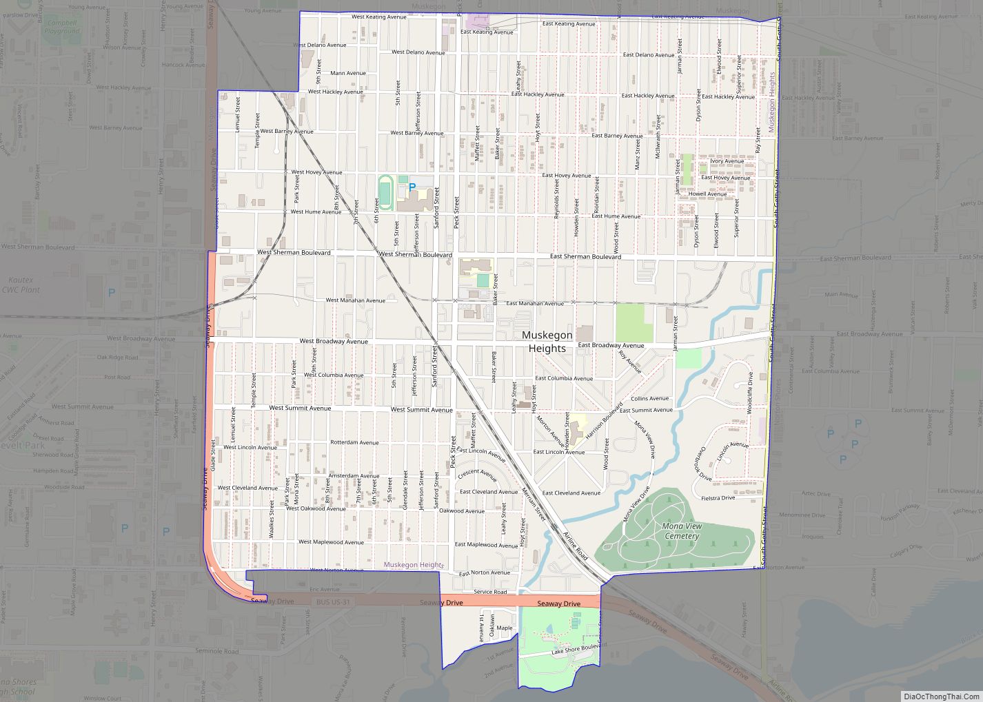
| Largest city: | Norton Shores (area), Muskegon (population) |
| Total Area: | 1,460 sq mi (3,800 km²) |
| Land Area: | 499 sq mi (1,290 km²) |
| Total Population: | 175,824 |
| Population Density: | 345/sq mi (133/km²) |
| Time zone: | UTC−5 (Eastern) |
| Summer Time Zone (DST): | UTC−4 (EDT) |
| Website: | www.co.muskegon.mi.us |
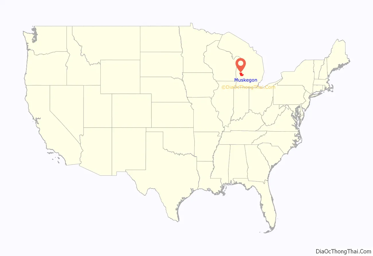
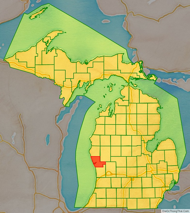
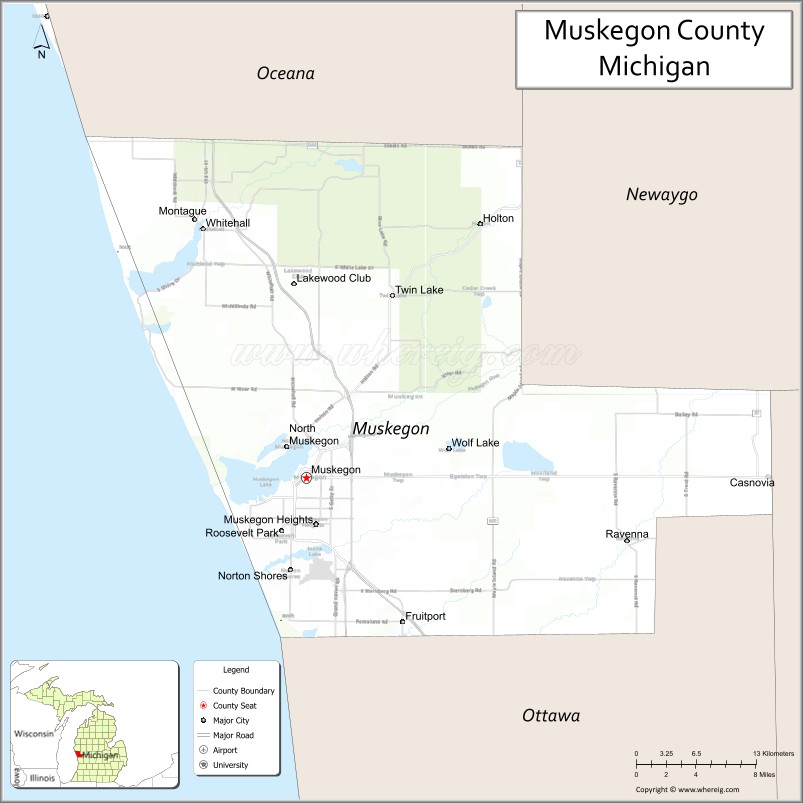
Muskegon County location map. Where is Muskegon County?
History
Around 1812, Jean Baptiste Recollect and Pierre Constant set up trading posts in the area. By the Treaty of Washington (1836), Native Americans ceded parts of Michigan, including future Muskegon County, to the United States. This opened up the area to greater settlement by European Americans, who developed farms.
Prior to 1859, the majority of Muskegon County was part of Ottawa County (the Southern three quarters). Grand Haven served as the County Seat of this combined County, and still serves as the Ottawa County seat today.
Muskegon County was organized in 1859. Its name is from the Muskegon River, which runs through it and empties into Muskegon Lake and subsequently flows into Lake Michigan. The word “Muskegon” comes from the Ojibwa/Chippewa word mashkig, meaning “marsh” or “swamp”. See List of Michigan county name etymologies.
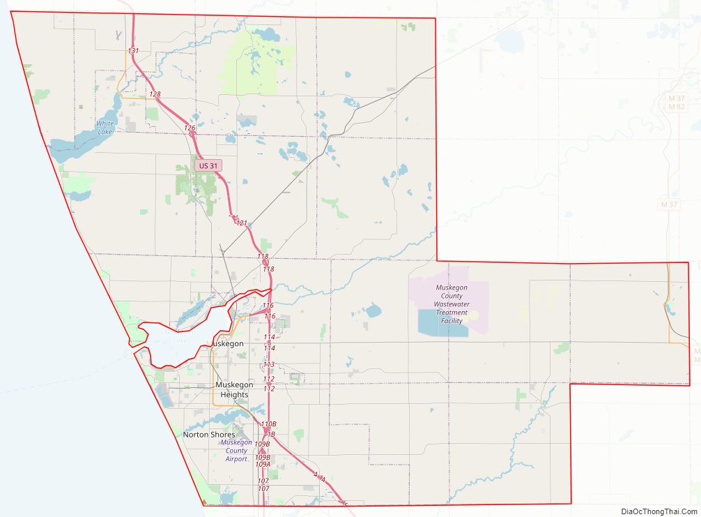
Muskegon County Road Map
Geography
According to the U.S. Census Bureau, the county has a total area of 1,460 square miles (3,800 km), of which 499 square miles (1,290 km) is land and 961 square miles (2,490 km) (66%) is water.
Michigan’s second longest river, Muskegon River, flows through the county with its north and south branches emptying into Muskegon Lake. Muskegon Lake then empties into Lake Michigan via the Muskegon Channel. Muskegon Lake is Michigan’s only deep water port on Lake Michigan. In the north the White River flows through the county into White Lake and then on to Lake Michigan. In the south, Black Creek flows into Mona Lake which also flow into Lake Michigan. These three lakes allow boat navigation to and from Lake Michigan, making it one of the states most boat accessible counties, with Muskegon Lake allowing access for additional large commercial vessels.
Bodies of water
- Muskegon Lake
- Muskegon River
- Mona Lake
- White Lake
- White River
- Little Black Lake
- Little Blue Lake
- Wolf Lake
- Fox Lake
- Big Blue Lake
- Bear Lake
- Duck Lake
- Twin Lake
National protected area
- Manistee National Forest (part)
Major highways
- I-96
- US 31
- Bus. US 31 (Muskegon)
- Bus. US 31 (Whitehall-Montague)
- M-37
- M-46
- M-120
- B-15
- B-23
- B-31
- B-35
- B-72
- B-86
Adjacent counties
By land
- Oceana County, Michigan – north
- Newaygo County, Michigan – northeast
- Kent County, Michigan – east
- Ottawa County, Michigan – east
- Ottawa County, Michigan – south
By water
- Milwaukee County, Wisconsin – southwest
- Ozaukee County, Wisconsin – west
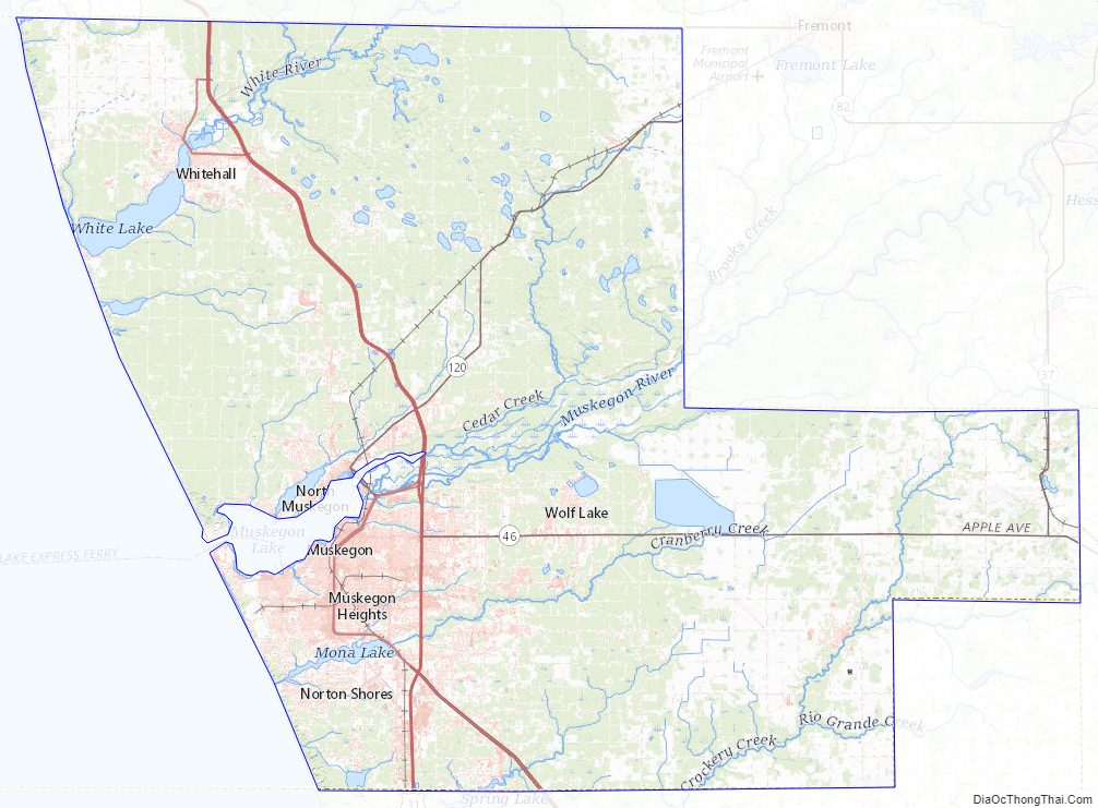
Muskegon County Topographic Map
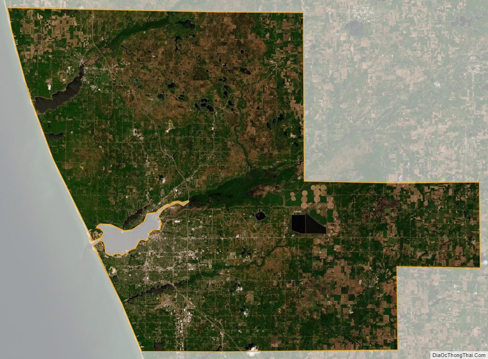
Muskegon County Satellite Map
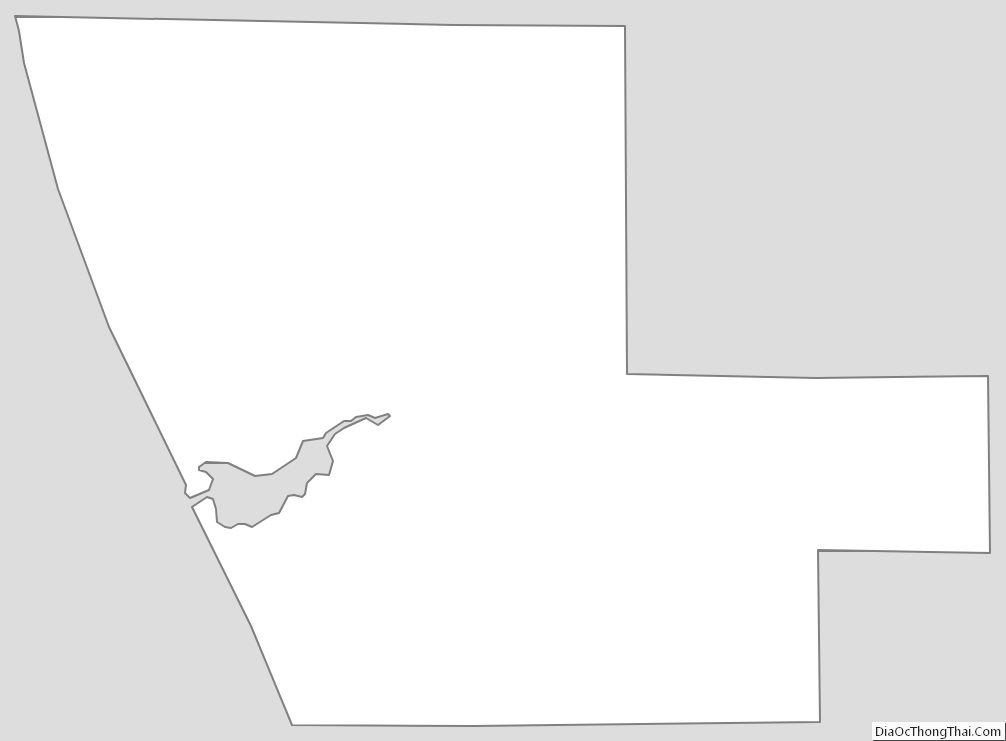
Muskegon County Outline Map