Okeechobee County (US: /oʊkiˈtʃoʊbi/) is a county located in the Florida Heartland region of the state of Florida. As of the 2020 census, the population was 39,644. The county seat is Okeechobee.
The County of Okeechobee comprises the Okeechobee, FL Micropolitan Statistical Area, which is included in the Miami–Fort Lauderdale–Port St. Lucie, FL Combined Statistical Area.
| Name: | Okeechobee County |
|---|---|
| FIPS code: | 12-093 |
| State: | Florida |
| Founded: | May 8, 1917 |
| Named for: | Lake Okeechobee |
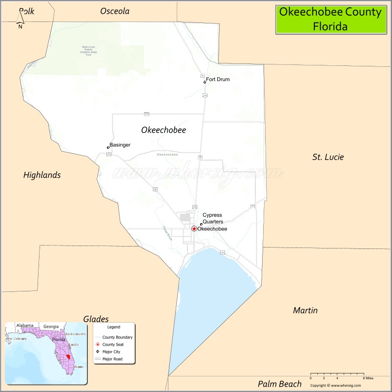
| Seat: | Okeechobee |
| Largest city: | Okeechobee |
| Total Area: | 892 sq mi (2,310 km²) |
| Land Area: | 769 sq mi (1,990 km²) |
| Total Population: | 39,644 |
| Population Density: | 52/sq mi (20/km²) |
| Time zone: | UTC−5 (Eastern) |
| Summer Time Zone (DST): | UTC−4 (EDT) |
| Website: | www.co.okeechobee.fl.us |
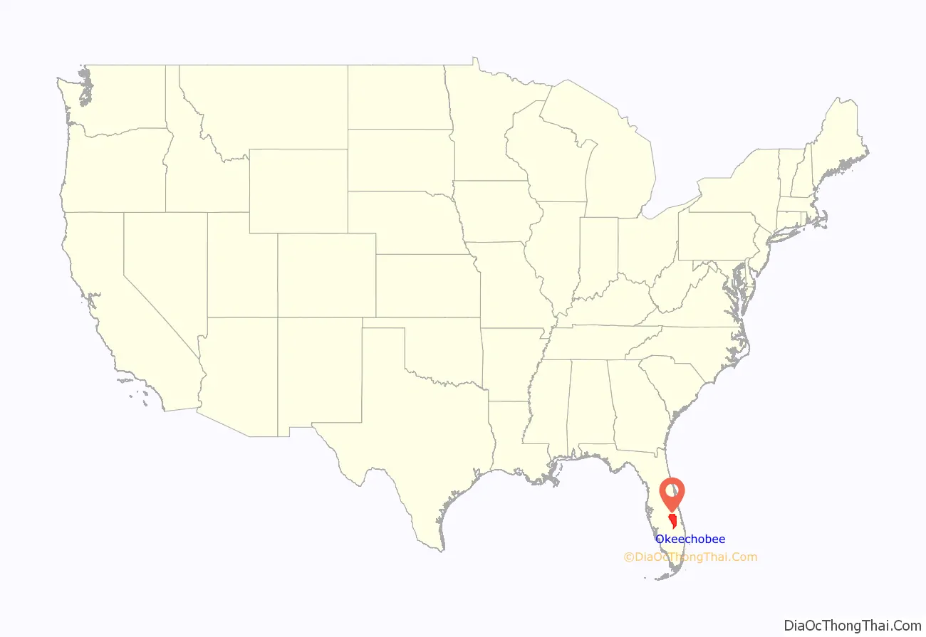
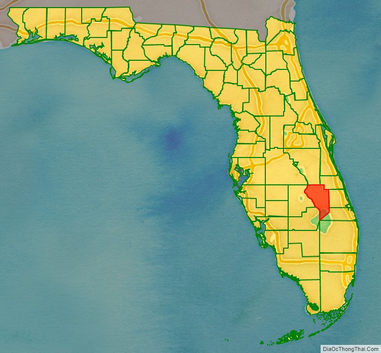
Okeechobee County location map. Where is Okeechobee County?
History
Okeechobee County was incorporated in 1917. It was named for Lake Okeechobee, which was itself named for the Seminole Indian words okee (water) and chobee (big).
Historic buildings
Historic buildings in Okeechobee County include:
- First United Methodist Church, 1924
- Freedman-Raulerson House, 1923
- Okeechobee County Courthouse, 1926
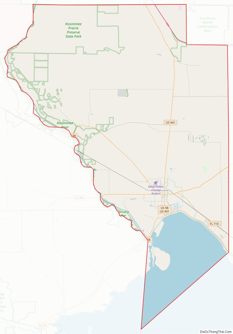
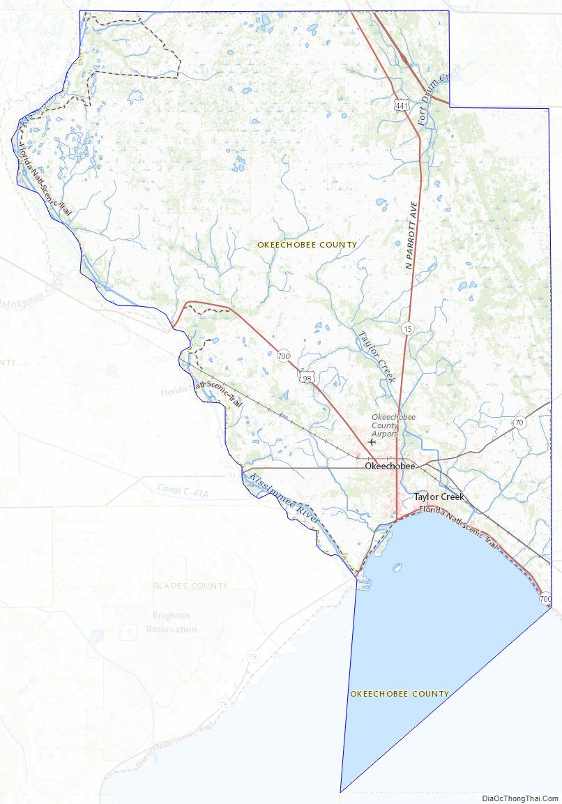
Okeechobee County Road Map
Geography
According to the U.S. Census Bureau, the county has a total area of 892 square miles (2,310 km), of which 769 square miles (1,990 km) is land and 123 square miles (320 km) (13.8%) is water.
Adjacent counties
- Indian River County – northeast
- Martin County – east
- St. Lucie County – east
- Glades County – southwest
- Hendry County – southwest
- Highlands County – west
- Polk County – northwest
- Osceola County – northwest
Okeechobee County Topographic Map
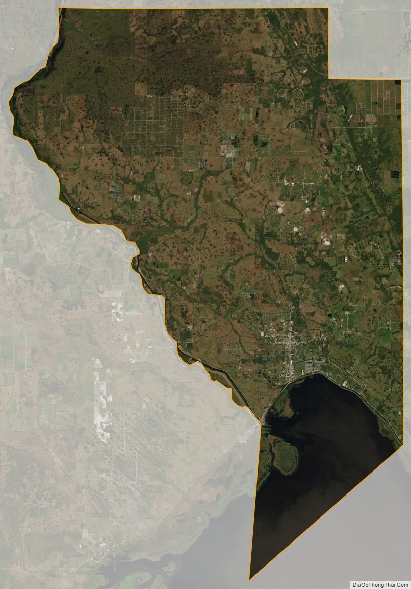
Okeechobee County Satellite Map
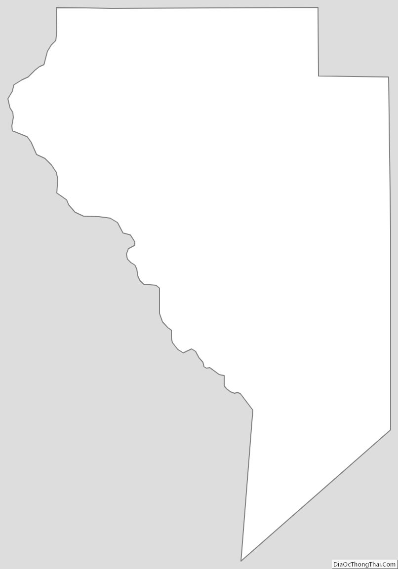
Okeechobee County Outline Map