Okeechobee (US: /oʊkiˈtʃoʊbi/ OH-kee-CHOH-bee) is a city in and the county seat of Okeechobee County, Florida, United States. As of the 2020 United States Census, the city’s population was 5,254.
The Lake Okeechobee area was severely damaged in the 1928 Okeechobee Hurricane, the first recorded Category 5 hurricane in the North Atlantic. This was one of the deadliest hurricanes ever to strike the US.
Okeechobee is served by the Okeechobee County Airport.
| Name: | Okeechobee city |
|---|---|
| LSAD Code: | 25 |
| LSAD Description: | city (suffix) |
| State: | Florida |
| County: | Okeechobee County |
| Elevation: | 26 ft (8 m) |
| Total Area: | 4.15 sq mi (10.76 km²) |
| Land Area: | 4.06 sq mi (10.50 km²) |
| Water Area: | 0.10 sq mi (0.25 km²) 0.96% |
| Total Population: | 5,254 |
| Population Density: | 1,295.36/sq mi (500.20/km²) |
| ZIP code: | 34972-34974 |
| Area code: | 863 |
| FIPS code: | 1251200 |
| GNISfeature ID: | 0288073 |
| Website: | http://www.cityofokeechobee.com |
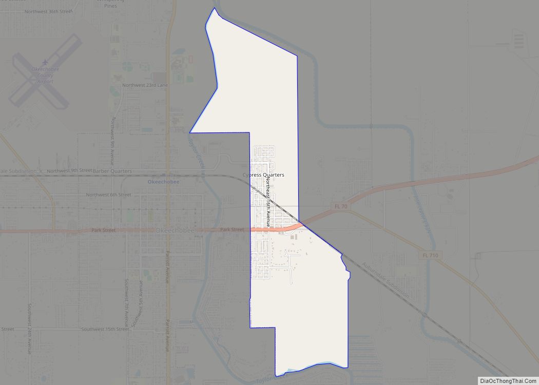
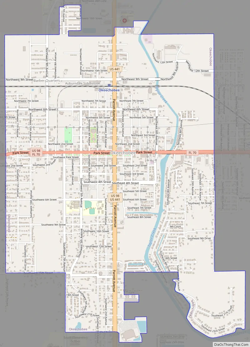
Online Interactive Map
Click on ![]() to view map in "full screen" mode.
to view map in "full screen" mode.
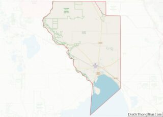
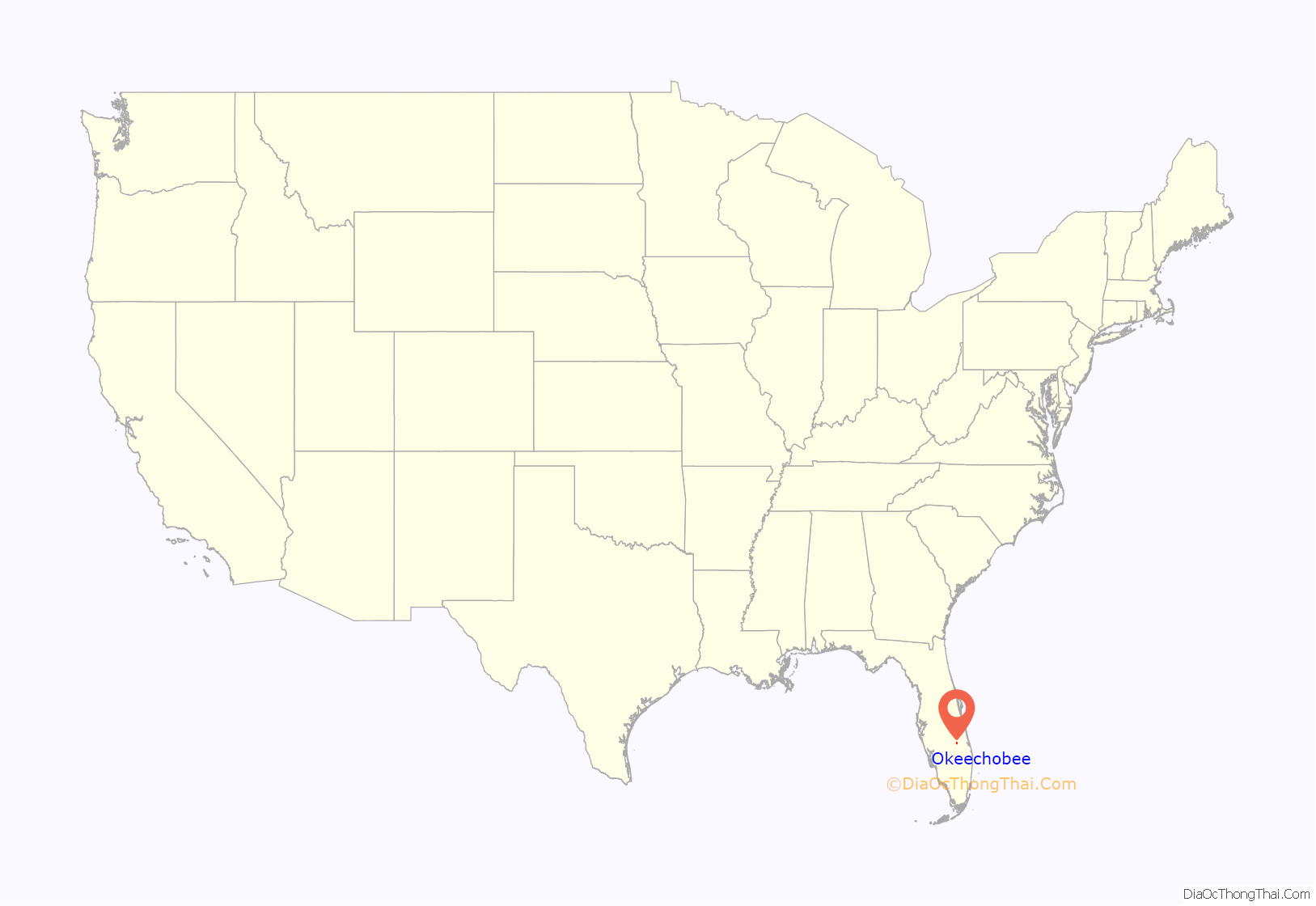
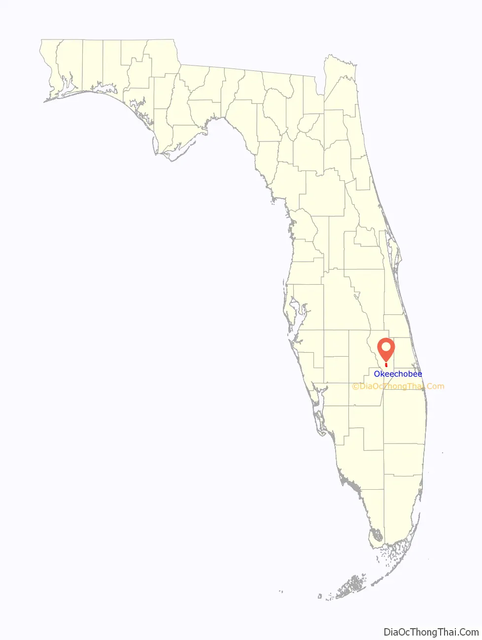
Okeechobee location map. Where is Okeechobee city?
History
Okeechobee is close to the site of the Battle of Lake Okeechobee, a major battle of the Second Seminole War, fought between forces under the command of Zachary Taylor and Seminole warriors resisting forced removal to Indian Territory west of the Mississippi River in the 1830s. (This territory was later admitted as the state of Oklahoma in 1907.)
From 1918 to 1929 the international drink company Coca-Cola had a bottling plant in Okeechobee around Jersey Mike’s subs is currently.The reason they stopped having a bottling there is In big contribution to prohibition across the nation and the Okeechobee Hurricane In 1928.
In the 1930s, Okeechobee was the commercial center for the surrounding area, shipping hundreds of train cars of winter vegetables annually. It had poultry farms, a catfish shipping plant, and a bullfrog breeding industry.
The Florida guide described bullfrog breeding in the Okeechobee region:
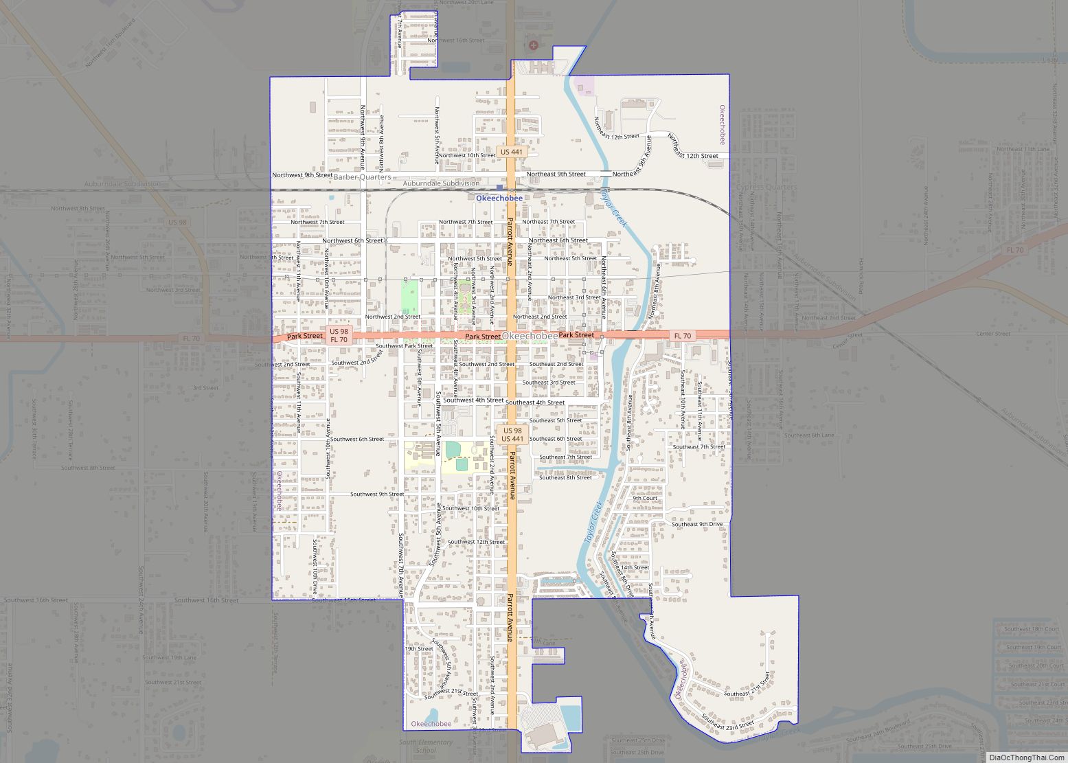
Okeechobee Road Map
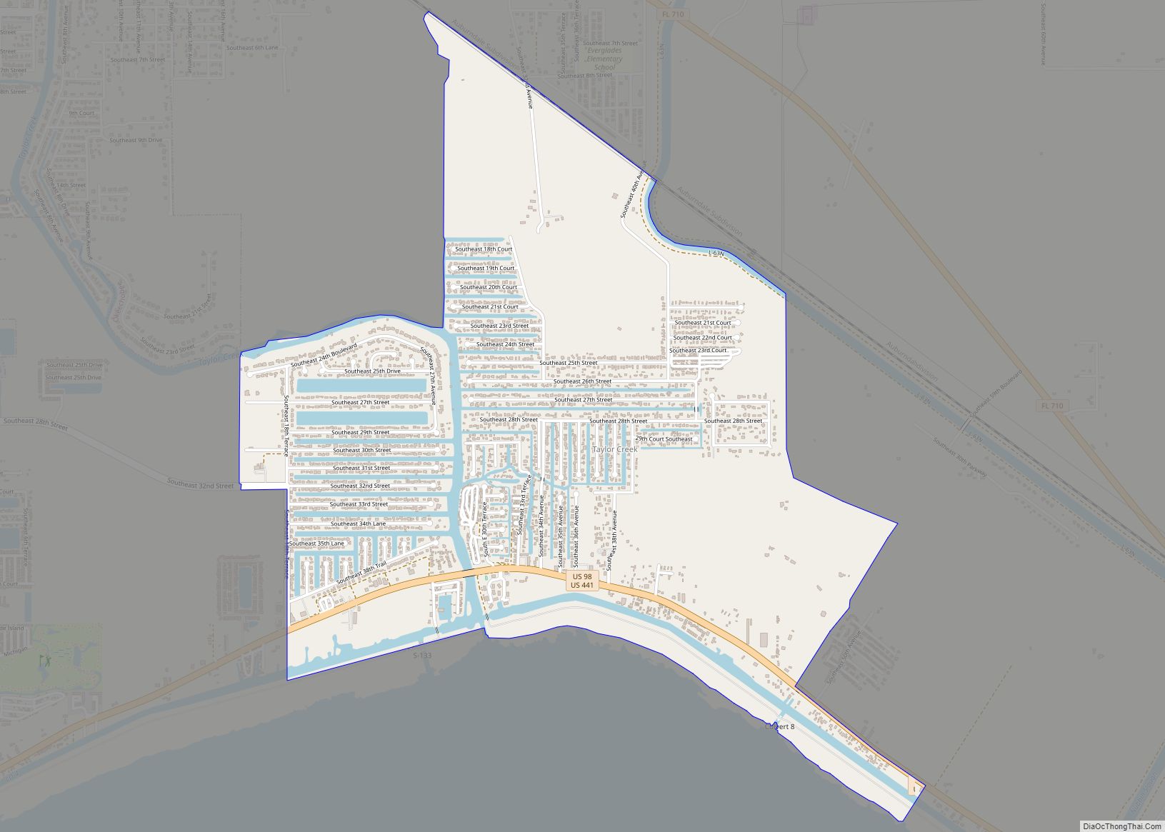
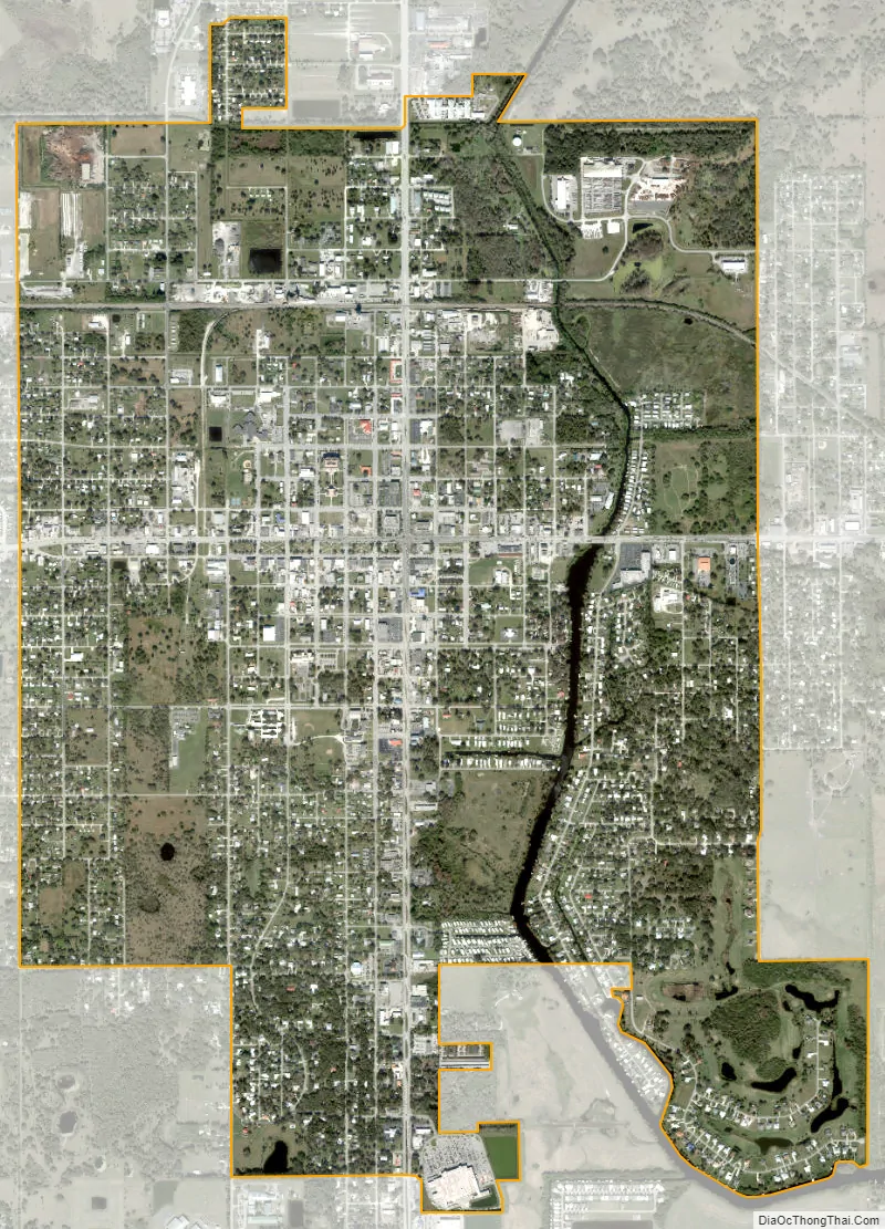
Okeechobee city Satellite Map
Geography
Okeechobee is located just north of Lake Okeechobee. Taylor Creek flows through the east side of the town. The area is served by US routes 98 and 441 and state routes 70, 700 and 15.
According to the United States Census Bureau, the city has a total area of 4.2 square miles (11 km), of which 4.1 square miles (11 km) is land and 0.04 square miles (0.10 km) (0.96%) is water.
Climate
Okeechobee has a humid subtropical climate (Cfa), bordering within one degree of a tropical climate with hot, humid summers and warm, drier winters.
See also
Map of Florida State and its subdivision:- Alachua
- Baker
- Bay
- Bradford
- Brevard
- Broward
- Calhoun
- Charlotte
- Citrus
- Clay
- Collier
- Columbia
- Desoto
- Dixie
- Duval
- Escambia
- Flagler
- Franklin
- Gadsden
- Gilchrist
- Glades
- Gulf
- Hamilton
- Hardee
- Hendry
- Hernando
- Highlands
- Hillsborough
- Holmes
- Indian River
- Jackson
- Jefferson
- Lafayette
- Lake
- Lee
- Leon
- Levy
- Liberty
- Madison
- Manatee
- Marion
- Martin
- Miami-Dade
- Monroe
- Nassau
- Okaloosa
- Okeechobee
- Orange
- Osceola
- Palm Beach
- Pasco
- Pinellas
- Polk
- Putnam
- Saint Johns
- Saint Lucie
- Santa Rosa
- Sarasota
- Seminole
- Sumter
- Suwannee
- Taylor
- Union
- Volusia
- Wakulla
- Walton
- Washington
- Alabama
- Alaska
- Arizona
- Arkansas
- California
- Colorado
- Connecticut
- Delaware
- District of Columbia
- Florida
- Georgia
- Hawaii
- Idaho
- Illinois
- Indiana
- Iowa
- Kansas
- Kentucky
- Louisiana
- Maine
- Maryland
- Massachusetts
- Michigan
- Minnesota
- Mississippi
- Missouri
- Montana
- Nebraska
- Nevada
- New Hampshire
- New Jersey
- New Mexico
- New York
- North Carolina
- North Dakota
- Ohio
- Oklahoma
- Oregon
- Pennsylvania
- Rhode Island
- South Carolina
- South Dakota
- Tennessee
- Texas
- Utah
- Vermont
- Virginia
- Washington
- West Virginia
- Wisconsin
- Wyoming