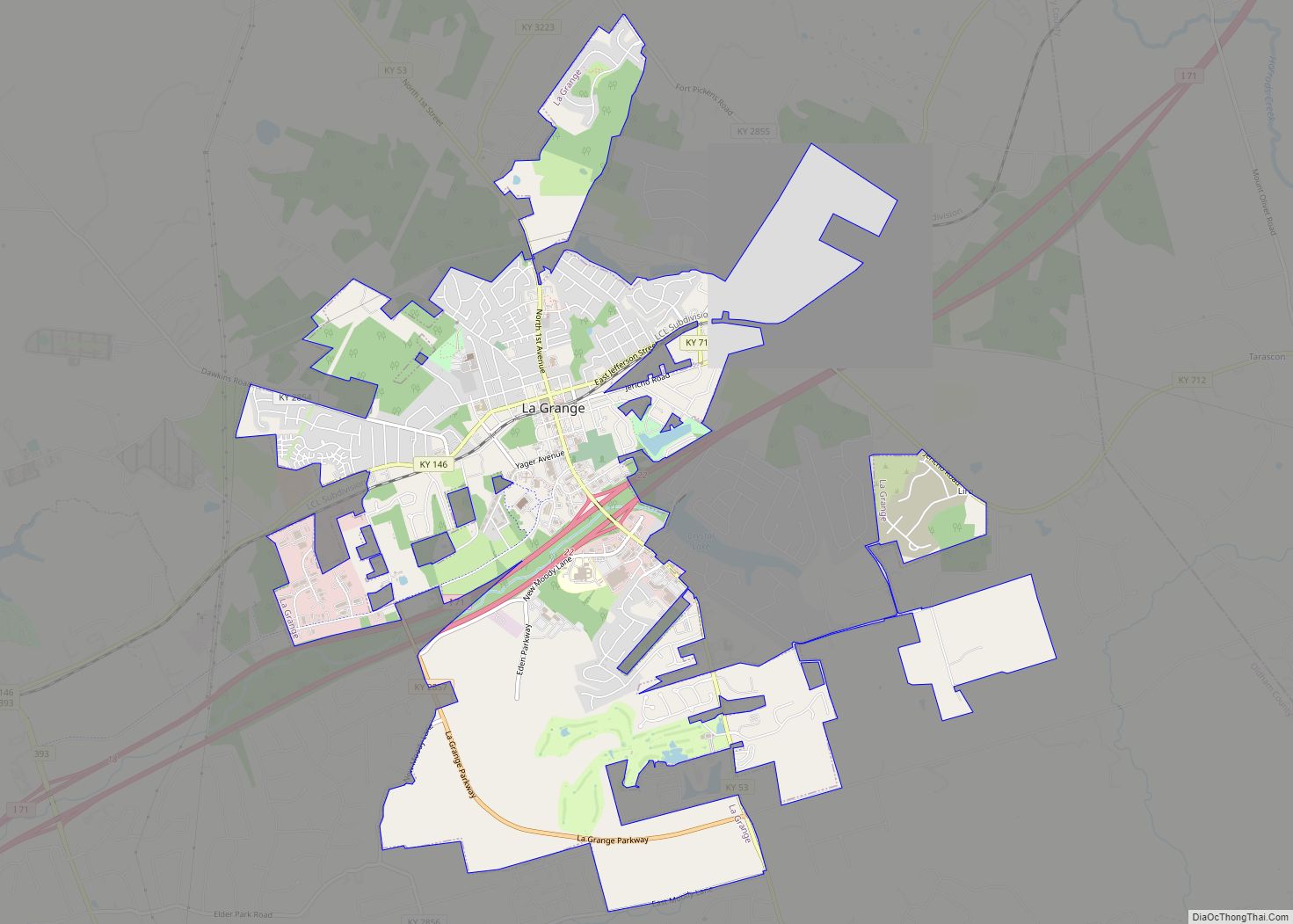
La Grange is a home rule-class city in Oldham County, Kentucky, in the United States. The population was 10,067 at the time of the 2020 U.S. census. It is the seat of its county. An unusual feature of La Grange is the CSX Transportation street-running mainline track on Main Street.
| Name: | La Grange city |
|---|---|
| LSAD Code: | 25 |
| LSAD Description: | city (suffix) |
| State: | Kentucky |
| County: | Oldham County |
| Incorporated: | January 23, 1840 |
| Elevation: | 863 ft (263 m) |
| Total Area: | 7.30 sq mi (18.91 km²) |
| Land Area: | 7.22 sq mi (18.69 km²) |
| Water Area: | 0.08 sq mi (0.22 km²) |
| Total Population: | 10,067 |
| Population Density: | 1,394.90/sq mi (538.58/km²) |
| ZIP code: | 40031–40032 |
| Area code: | 502 |
| FIPS code: | 2143480 |
| GNISfeature ID: | 0495884 |
| Website: | www.lagrangeky.net |
Online Interactive Map
Click on ![]() to view map in "full screen" mode.
to view map in "full screen" mode.
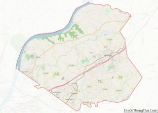
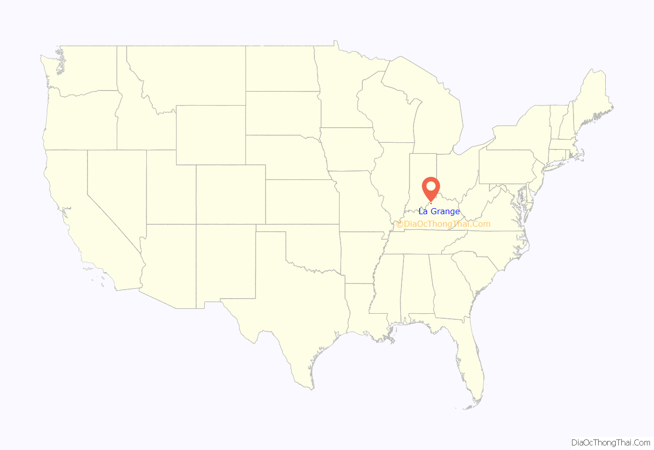
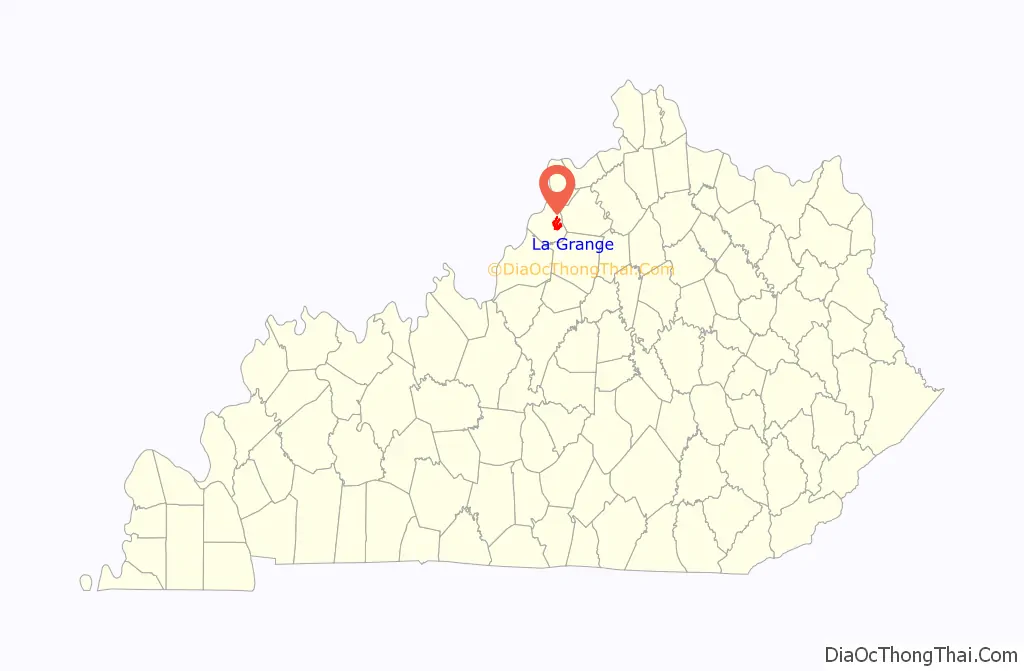
La Grange location map. Where is La Grange city?
History
La Grange was founded in 1827 when the Oldham County seat was relocated from Westport at the suggestion of Major William Berry Taylor. The new town was named for Château de la Grange-Bléneau, the French country estate of Gilbert du Motier, the American Revolutionary hero better known as the Marquis de Lafayette, who had visited the area in 1824. For unknown reasons, the county seat returned to Westport from 1828 to 1838 before settling at La Grange. The city was formally incorporated by the state legislature on January 23, 1840.
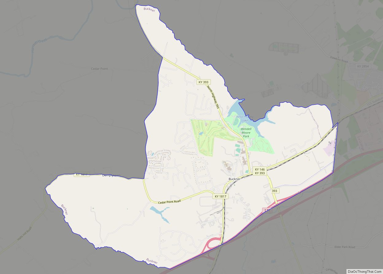
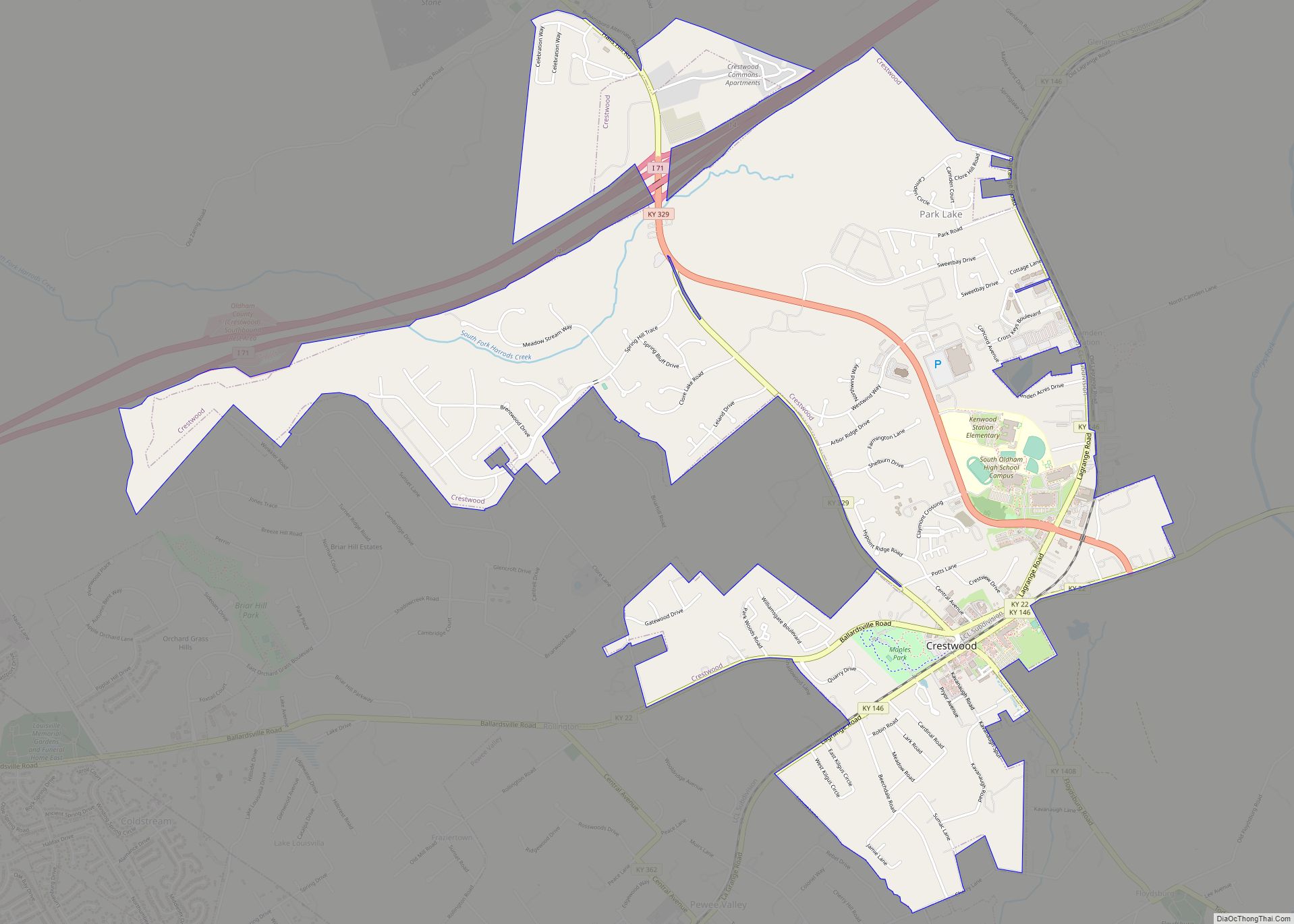
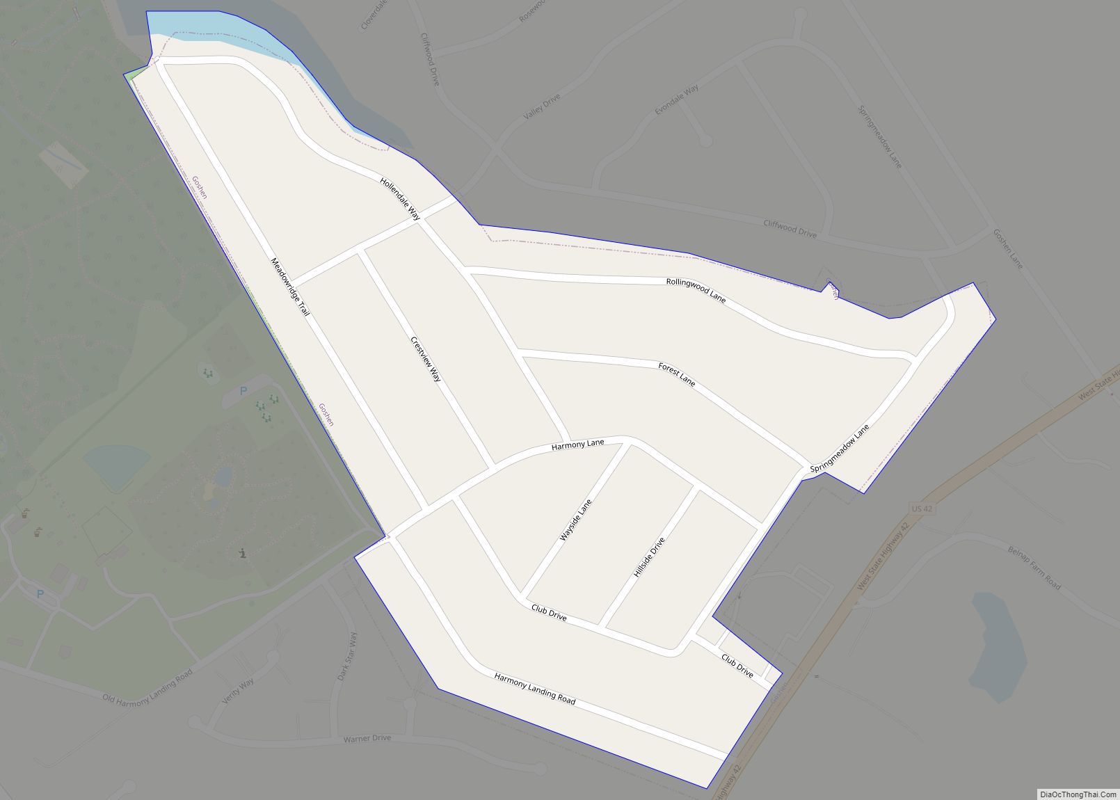
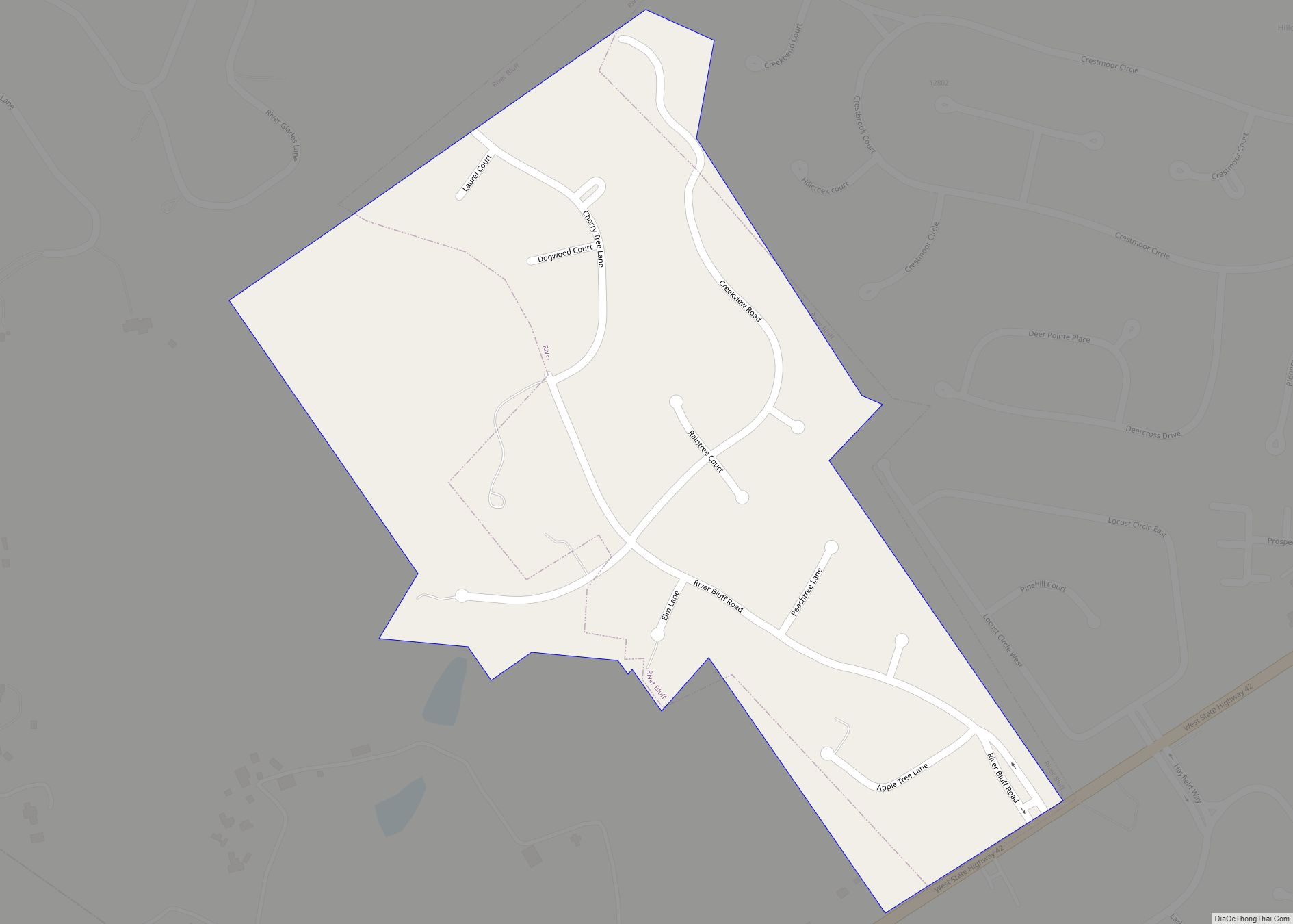
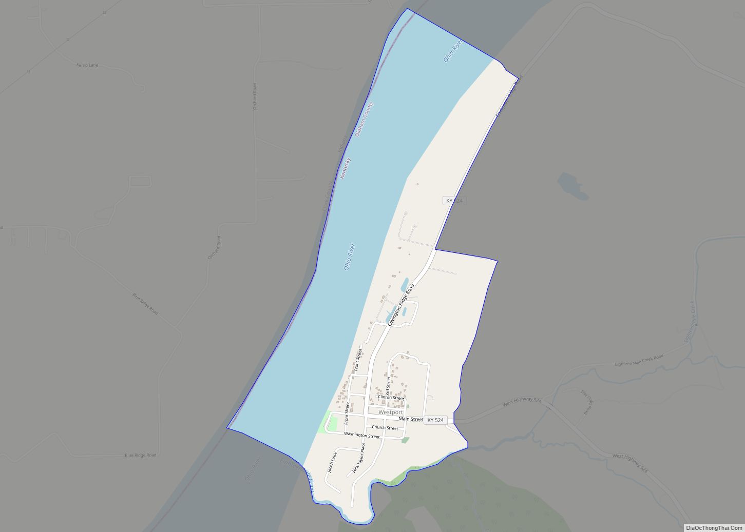
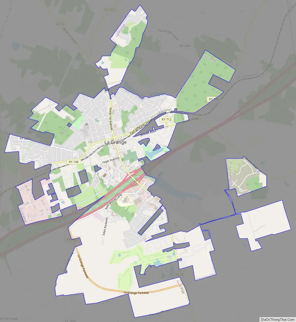
La Grange Road Map
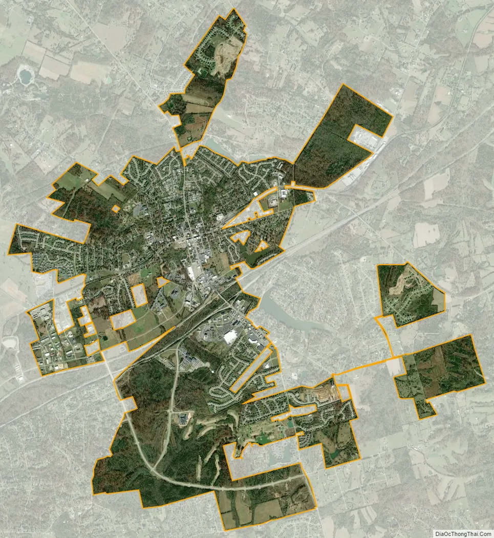
La Grange city Satellite Map
Geography
La Grange is located at 38°24′24″N 85°22′46″W / 38.40667°N 85.37944°W / 38.40667; -85.37944 (38.406612, -85.379382).
According to the United States Census Bureau, the city has a total area of 7.14 square miles (18.5 km), of which 7.06 square miles (18.3 km) are land and 0.84 square miles (2.2 km) (1.17%) is covered by water.
Climate
The climate in this area is characterized by hot, humid summers and generally mild to cool winters. According to the Köppen climate classification system, La Grange has a humid subtropical climate, Cfa on climate maps.
See also
Map of Kentucky State and its subdivision:- Adair
- Allen
- Anderson
- Ballard
- Barren
- Bath
- Bell
- Boone
- Bourbon
- Boyd
- Boyle
- Bracken
- Breathitt
- Breckinridge
- Bullitt
- Butler
- Caldwell
- Calloway
- Campbell
- Carlisle
- Carroll
- Carter
- Casey
- Christian
- Clark
- Clay
- Clinton
- Crittenden
- Cumberland
- Daviess
- Edmonson
- Elliott
- Estill
- Fayette
- Fleming
- Floyd
- Franklin
- Fulton
- Gallatin
- Garrard
- Grant
- Graves
- Grayson
- Green
- Greenup
- Hancock
- Hardin
- Harlan
- Harrison
- Hart
- Henderson
- Henry
- Hickman
- Hopkins
- Jackson
- Jefferson
- Jessamine
- Johnson
- Kenton
- Knott
- Knox
- Larue
- Laurel
- Lawrence
- Lee
- Leslie
- Letcher
- Lewis
- Lincoln
- Livingston
- Logan
- Lyon
- Madison
- Magoffin
- Marion
- Marshall
- Martin
- Mason
- McCracken
- McCreary
- McLean
- Meade
- Menifee
- Mercer
- Metcalfe
- Monroe
- Montgomery
- Morgan
- Muhlenberg
- Nelson
- Nicholas
- Ohio
- Oldham
- Owen
- Owsley
- Pendleton
- Perry
- Pike
- Powell
- Pulaski
- Robertson
- Rockcastle
- Rowan
- Russell
- Scott
- Shelby
- Simpson
- Spencer
- Taylor
- Todd
- Trigg
- Trimble
- Union
- Warren
- Washington
- Wayne
- Webster
- Whitley
- Wolfe
- Woodford
- Alabama
- Alaska
- Arizona
- Arkansas
- California
- Colorado
- Connecticut
- Delaware
- District of Columbia
- Florida
- Georgia
- Hawaii
- Idaho
- Illinois
- Indiana
- Iowa
- Kansas
- Kentucky
- Louisiana
- Maine
- Maryland
- Massachusetts
- Michigan
- Minnesota
- Mississippi
- Missouri
- Montana
- Nebraska
- Nevada
- New Hampshire
- New Jersey
- New Mexico
- New York
- North Carolina
- North Dakota
- Ohio
- Oklahoma
- Oregon
- Pennsylvania
- Rhode Island
- South Carolina
- South Dakota
- Tennessee
- Texas
- Utah
- Vermont
- Virginia
- Washington
- West Virginia
- Wisconsin
- Wyoming