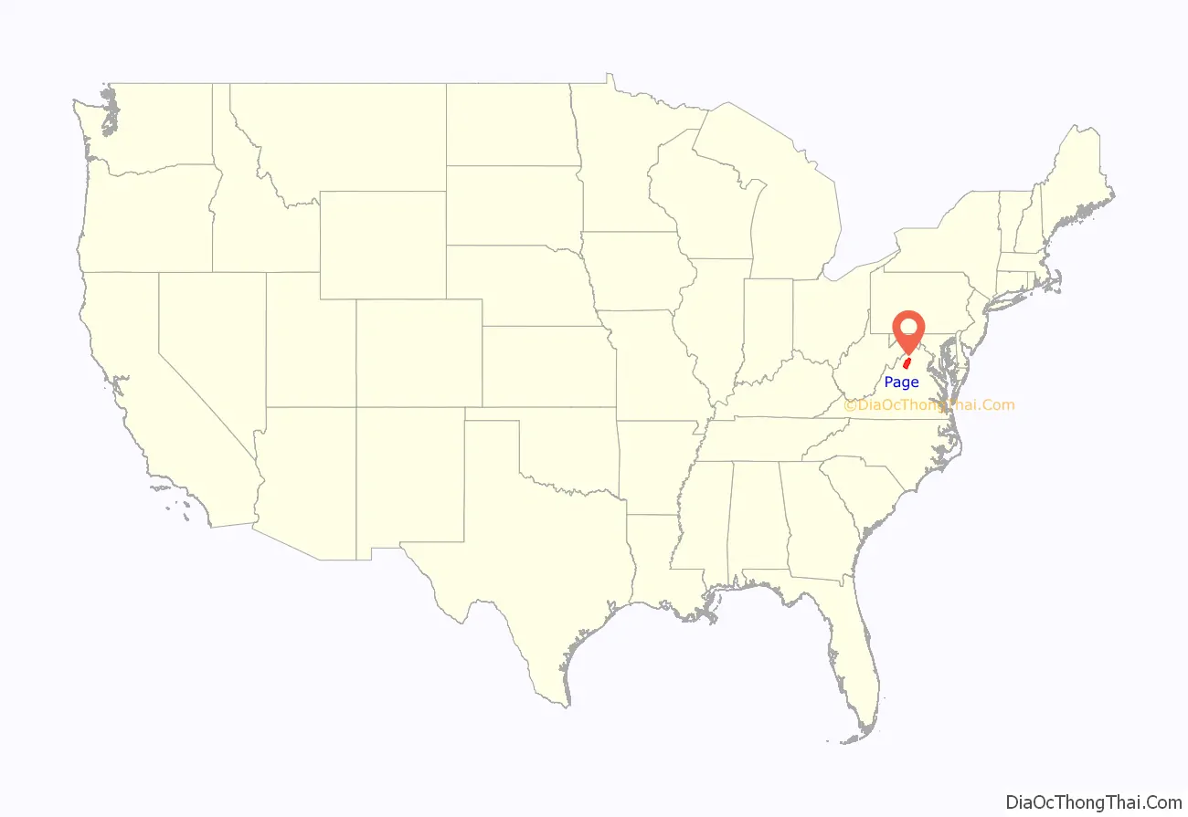
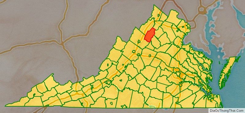
Page County is located in the Commonwealth of Virginia. As of the 2020 census, the population was 23,709. Its county seat is Luray. Page County was formed in 1831 from Shenandoah and Rockingham counties and was named for John Page, Governor of Virginia from 1802 to 1805.
| Name: | Page County |
|---|---|
| FIPS code: | 51-139 |
| State: | Virginia |
| Founded: | 1831 |
| Named for: | John Page |
| Seat: | Luray |
| Largest town: | Luray |
| Total Area: | 314 sq mi (810 km²) |
| Land Area: | 311 sq mi (810 km²) |
| Total Population: | 23,709 |
| Population Density: | 76/sq mi (29/km²) |
Page County location map. Where is Page County?
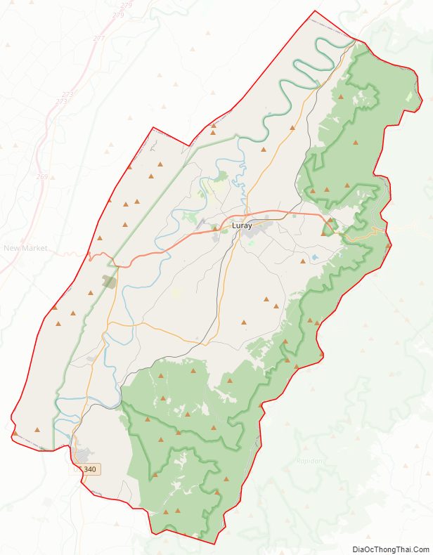
Page County Road Map
Geography
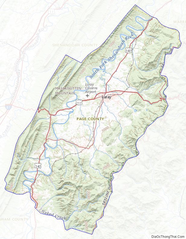
According to the U.S. Census Bureau, the county has a total area of 314 square miles (810 km), of which 311 square miles (810 km) is land and 3.2 square miles (8.3 km) (1.0%) is water. The highest point in Page County is Hawksbill Mountain, which is located along the border with Madison County within Shenandoah National Park.
Adjacent counties
- Shenandoah County – northwest
- Warren County – north
- Rappahannock County – east
- Madison County – southeast
- Greene County – southeast
- Rockingham County – south
National protected area
- George Washington National Forest (part)
- Shenandoah National Park (part)
Major highways
- US 211
- US 340
- Skyline Drive
Page County Topographic Map
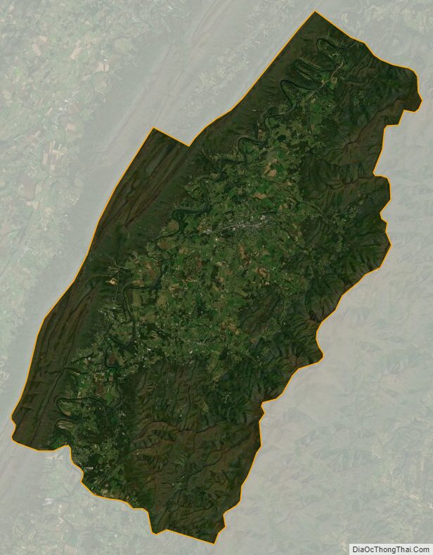
Page County Satellite Map
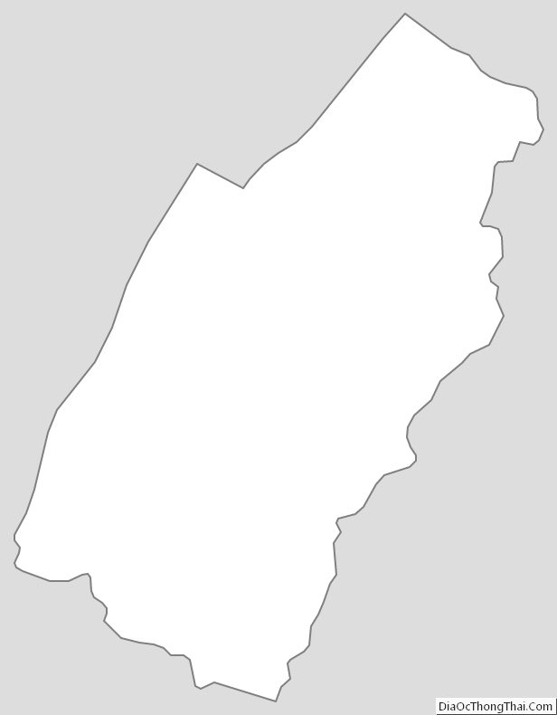
Page County Outline Map