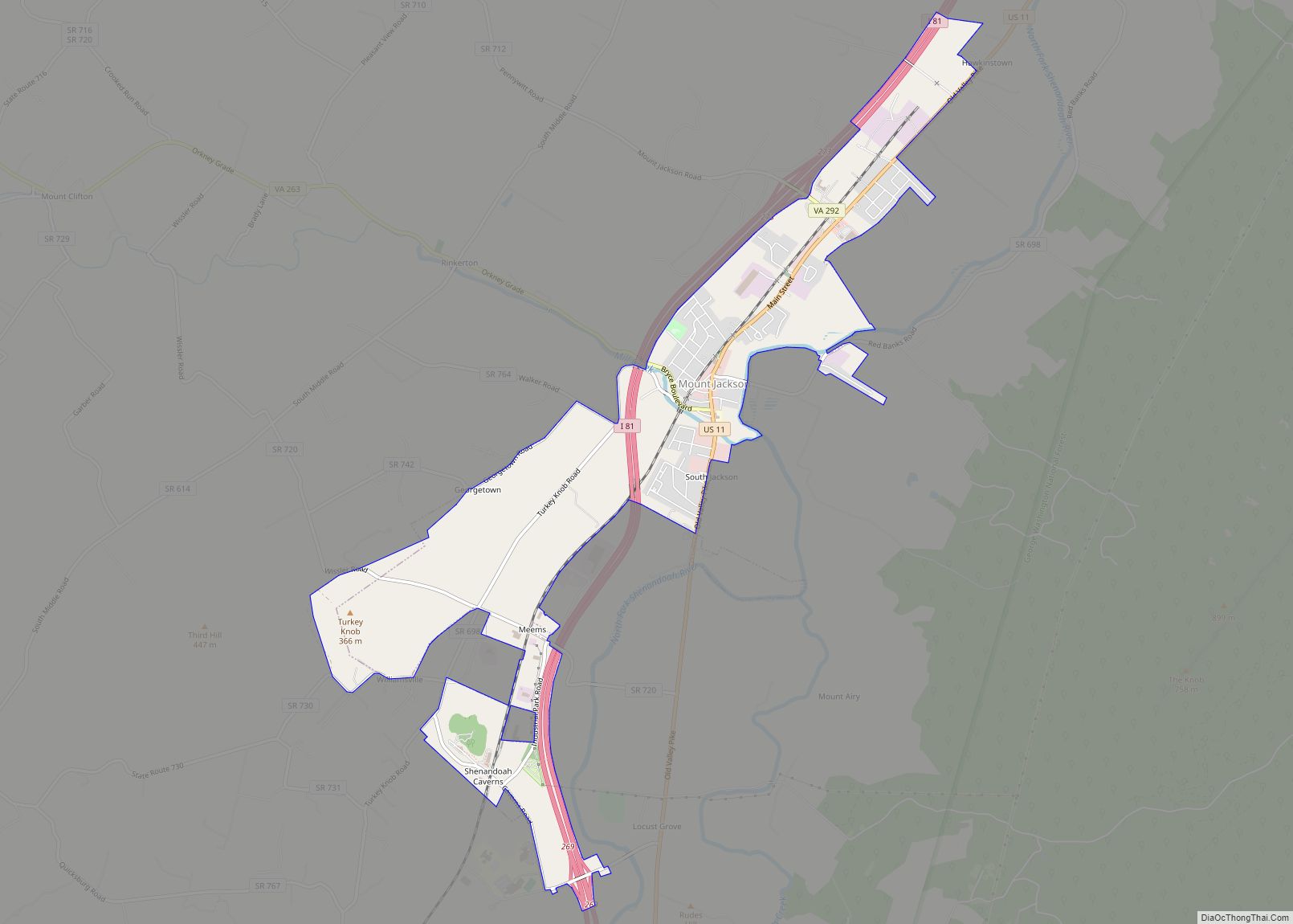
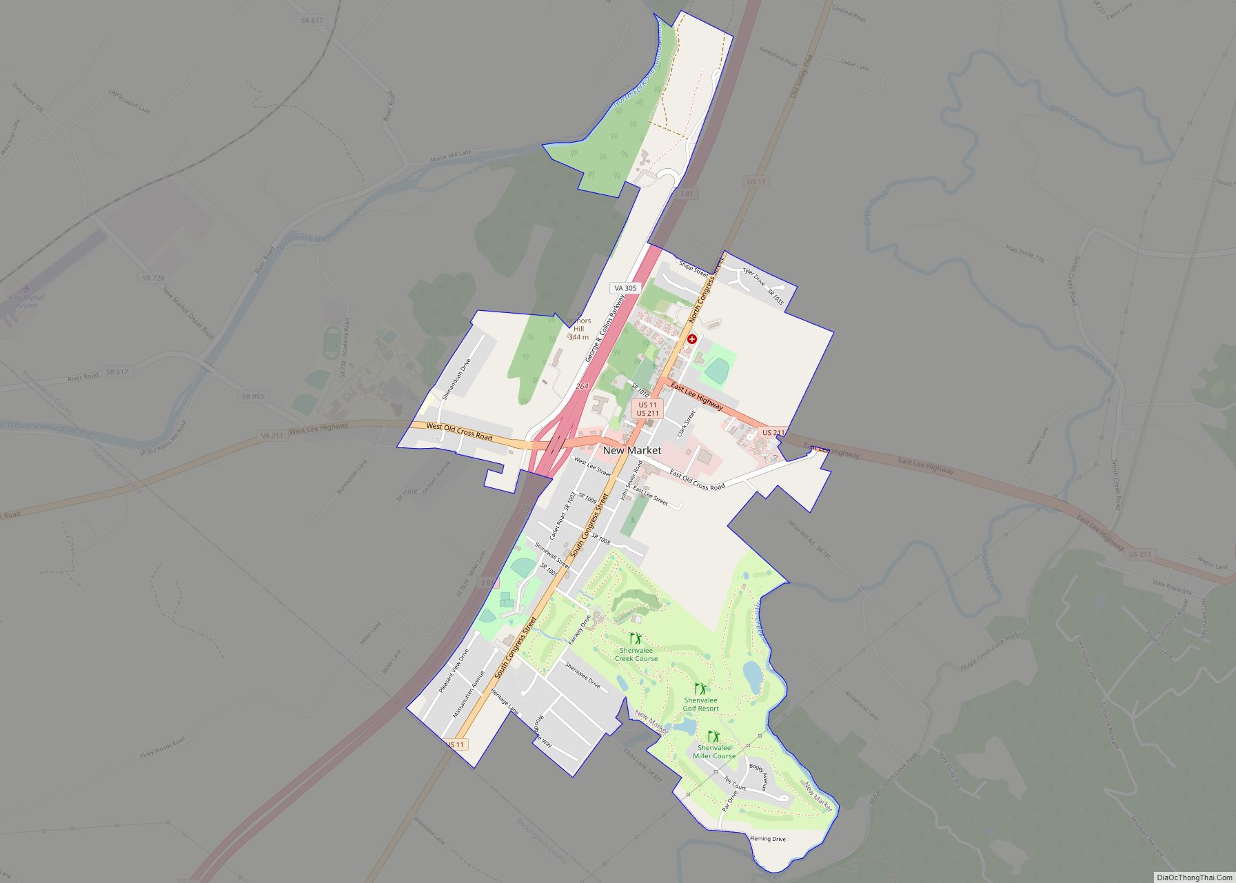
Shenandoah County (formerly Dunmore County) is a county located in the Commonwealth of Virginia. As of the 2020 United States Census, the population was 44,186. Its county seat is Woodstock. It is part of the Shenandoah Valley region of Virginia.
| Name: | Shenandoah County |
|---|---|
| FIPS code: | 51-171 |
| State: | Virginia |
| Founded: | 1772 |
| Named for: | Shenandoah River |
| Seat: | Woodstock |
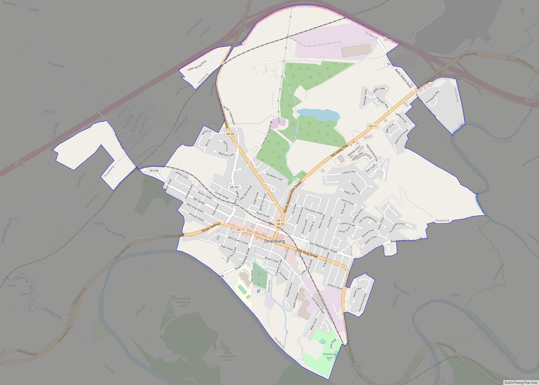
| Largest town: | Strasburg |
| Total Area: | 512 sq mi (1,330 km²) |
| Land Area: | 509 sq mi (1,320 km²) |
| Total Population: | 44,186 |
| Population Density: | 86/sq mi (33/km²) |
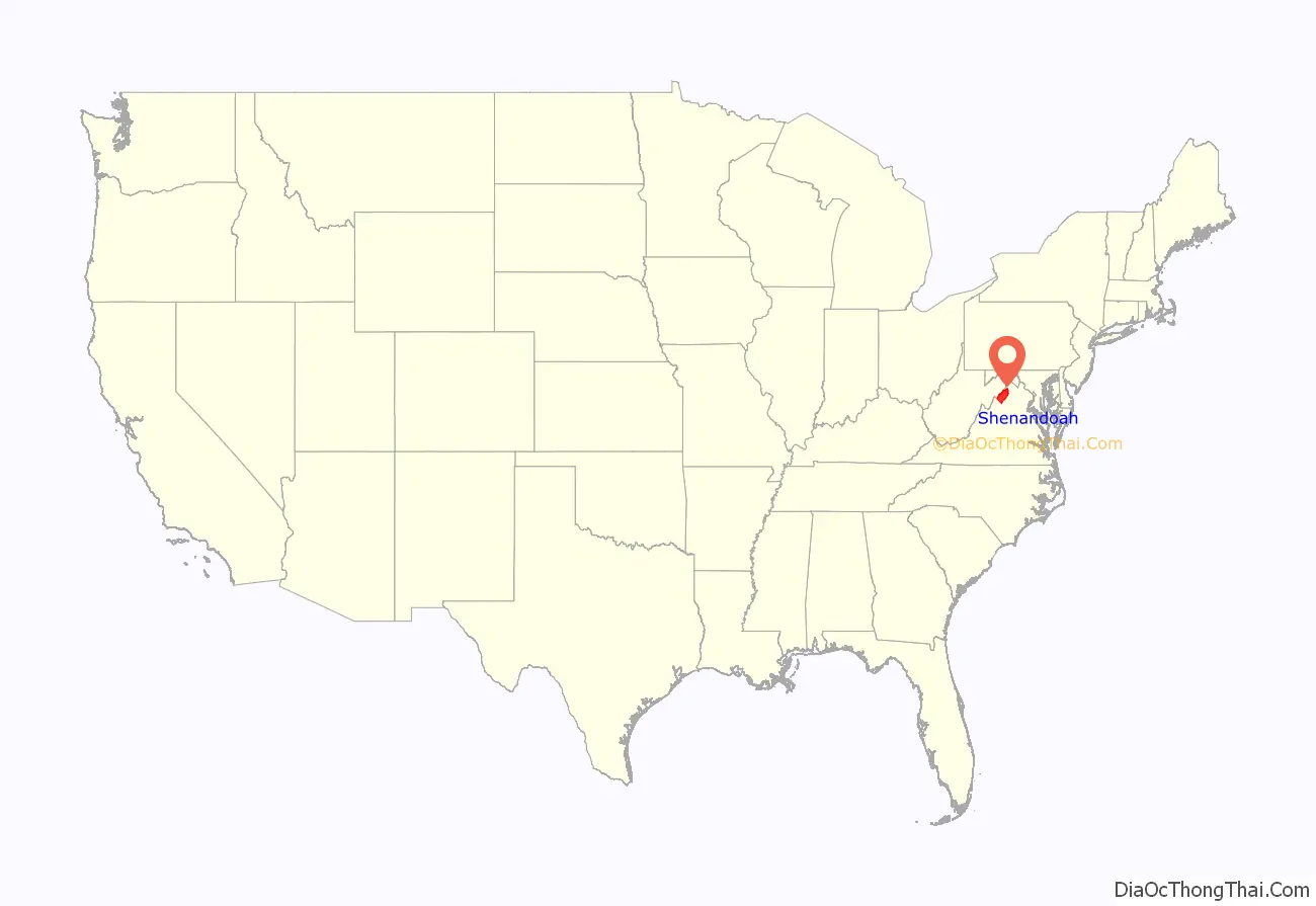
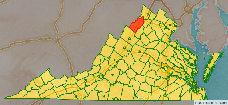
Shenandoah County location map. Where is Shenandoah County?
History
The Senedos, possibly an Iroquoian group, are thought to have occupied the area at one time, until they were said to have been slaughtered by the Catawba in the latter 17th century. The name of the Valley, and of the County, is most likely connected with this Native American group. It has also been attributed to General George Washington naming it in honor of John Skenandoa, an Oneida chief from New York who helped gain support of Oneida and Tuscarora warriors to aid the rebel colonists during the American Revolutionary War.
Colonial Governor Gooch formally purchased the entire Shenandoah Valley from the Six Nations of the Iroquois by the Treaty of Lancaster in 1744. The Iroquois had controlled the valley as a hunting ground, but European settlement had begun by that time. During Pontiac’s War (1763–1766), Shawnee efforts to repel the white intruders reached as far east as the current county.
The county was established in 1772 as ‘Dunmore County’ for Virginia Colonial Governor John Murray, 4th Earl of Dunmore. Woodstock was designated the county seat. Dunmore was Virginia’s last royal governor, and was forced from office during the American Revolution. During the war (1778), the rebels renamed the county ‘Shenandoah’.
During the Civil War, the Battle of New Market took place in the county on 15 May 1864.
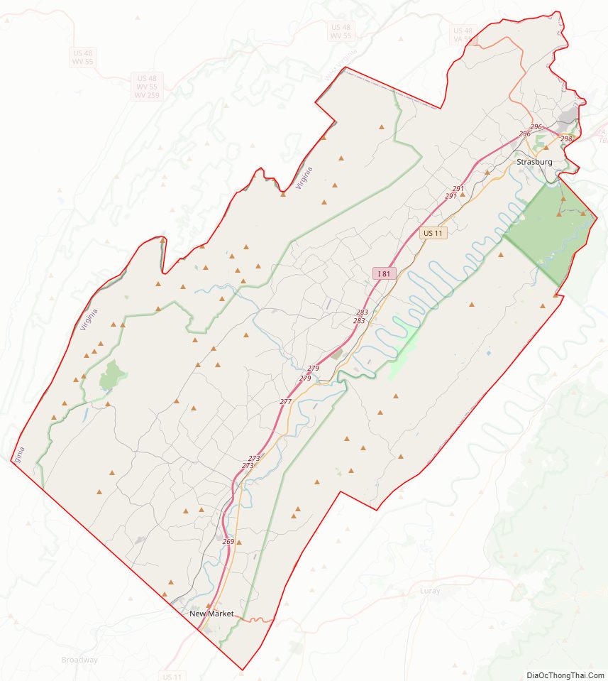
Shenandoah County Road Map
Geography
According to the US Census Bureau, the county has a total area of 512 square miles (1,330 km), of which 509 square miles (1,320 km) is land and 3.4 square miles (8.8 km) (0.7%) is water. Fort Valley and the western slopes of the Massanutten Mountain are located within the county boundary.
Adjacent counties
- Hardy County, West Virginia – northwest
- Frederick County – northeast
- Warren County – east
- Page County – southeast
- Rockingham County – southwest
National protected areas
- Cedar Creek and Belle Grove National Historical Park (part)
- George Washington National Forest (part)
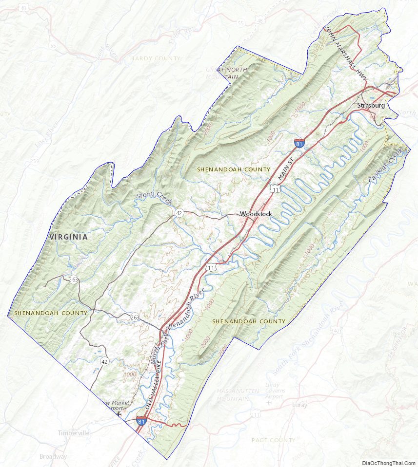
Shenandoah County Topographic Map
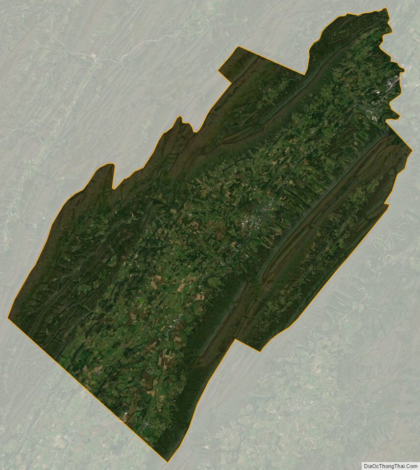
Shenandoah County Satellite Map
Shenandoah County Outline Map