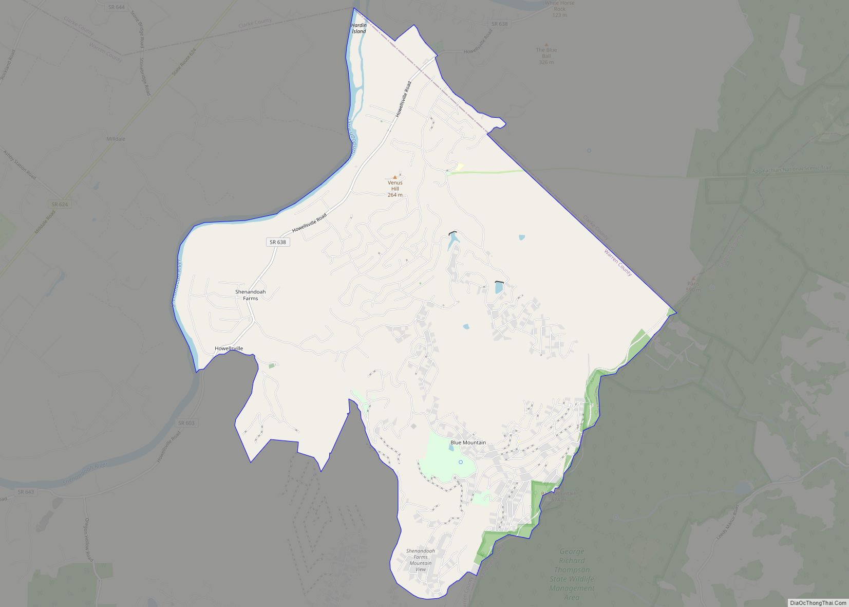
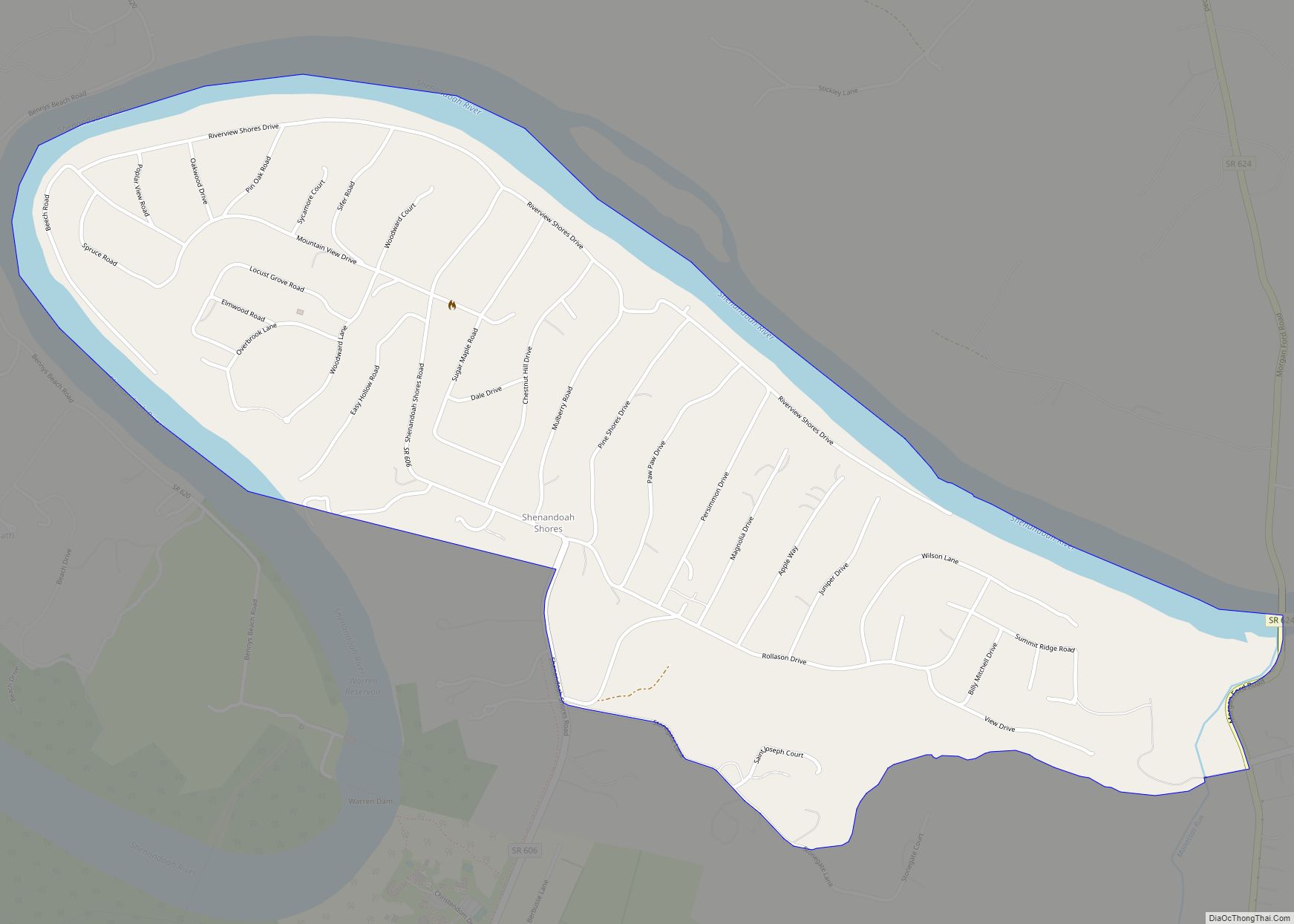
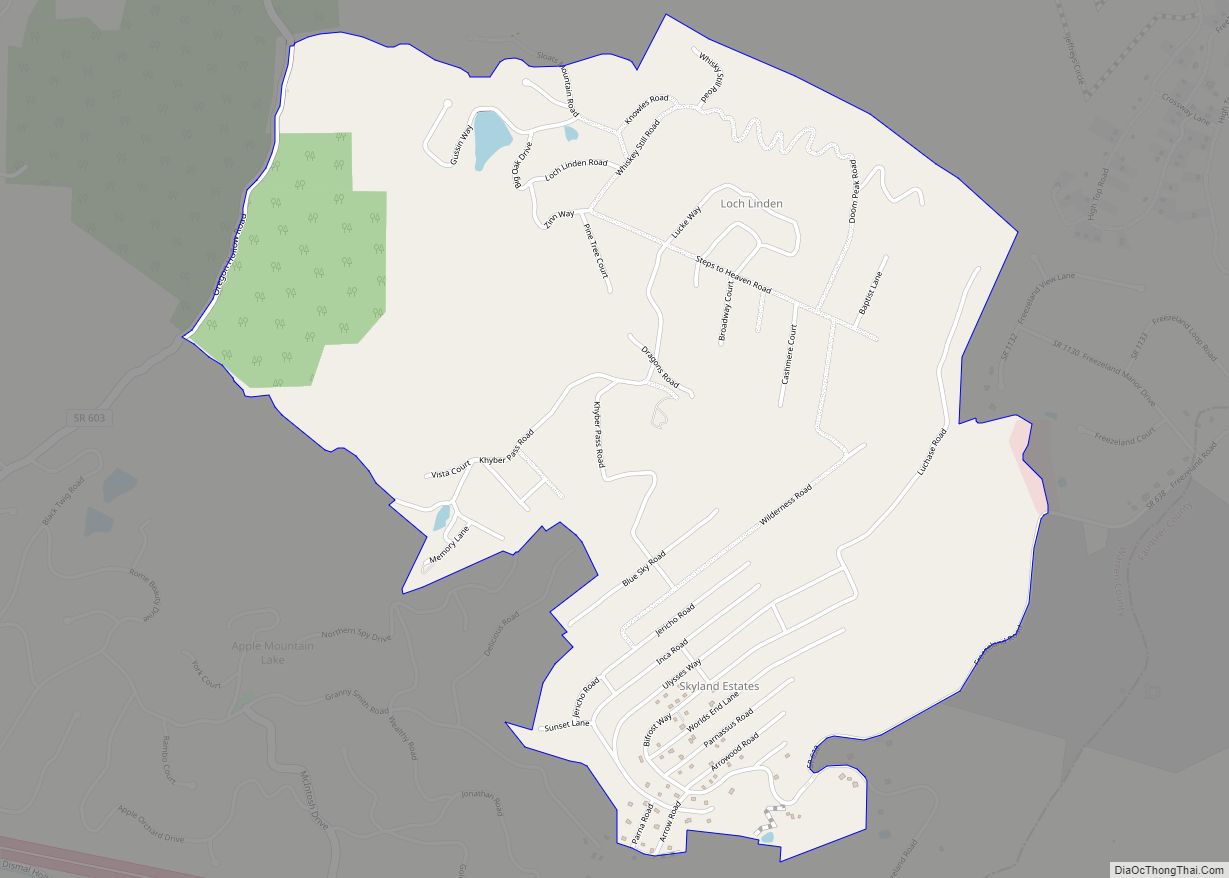
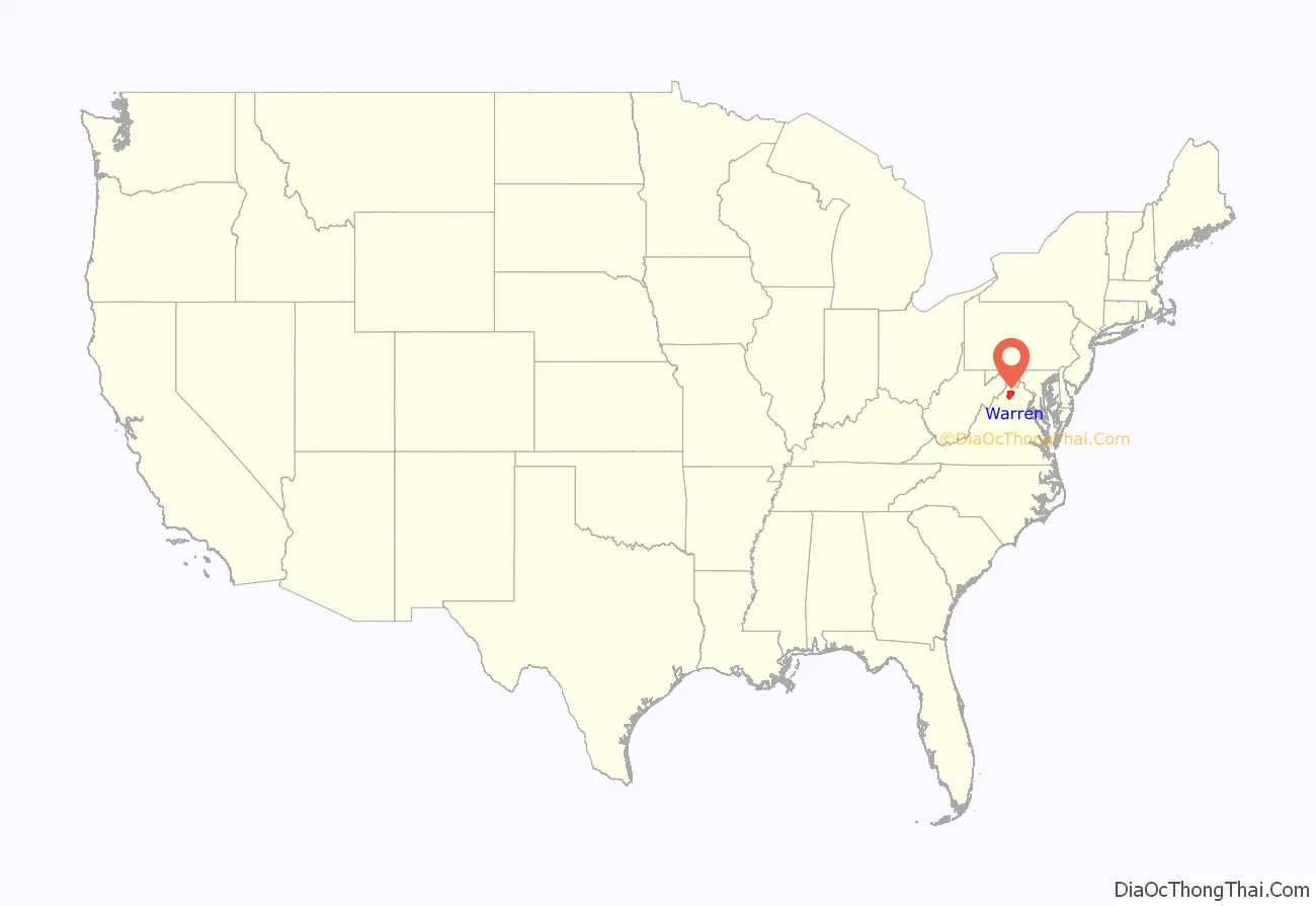
Warren County is a U.S. county located in the Commonwealth of Virginia. The 2020 census places Warren County within the Washington-Arlington-Alexandria, DC-VA-MD-WV Metropolitan Statistical Area with a population of 40,727. The county was established in 1836. The county seat is Front Royal.
| Name: | Warren County |
|---|---|
| FIPS code: | 51-187 |
| State: | Virginia |
| Founded: | 1836 |
| Named for: | Joseph Warren |
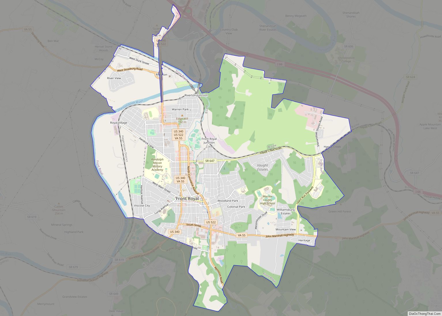
| Seat: | Front Royal |
| Largest town: | Front Royal |
| Total Area: | 217 sq mi (560 km²) |
| Land Area: | 213 sq mi (550 km²) |
| Total Population: | 40,727 |
| Population Density: | 190/sq mi (72/km²) |
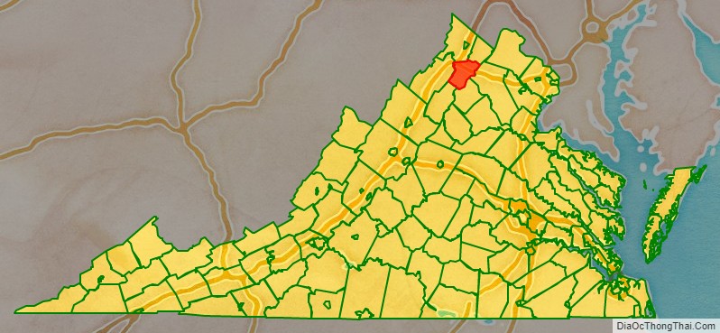
Warren County location map. Where is Warren County?
History
By 1672 the entire Shenandoah Valley was claimed for hunting by the Iroquois Confederation following the Beaver Wars. Some bands of the Shawnee settled in the area as client groups to the Iroquois and alternately to the Cherokee after 1721. The Iroquois formally sold their entire claim east of the Alleghenies to the Virginia Colony at the Treaty of Lancaster in 1744. Warren County was established in 1836 from Frederick and Shenandoah counties. At that time the county had a population of 7,000 people, a quarter of which were enslaved. Wedding records show marriages of people born in the 1770s marrying in the 1800s who head households of four to eight “free colored” so the early demographics of the population are unclear. Joist Hite lead the Sixteen Families into the Lower Shenandoah Valley. Some consider that group the first European settlers of the area, others believe different claims. Either way, Presbyterians of Scotch-Irish lineage and Quakers followed.
Rail service was established in 1854 with the construction of the Alexandria, Orange and Manassas Gap Railroad between Manassas and Riverton. This line was soon extended to Strasburg in time to become a factor in the Battle of Front Royal on May 23, 1862, and throughout the Civil War. Lumber, agriculture, manufacturing and grain mills provided employment in the region for decades after the Civil War. The county is named for Joseph Warren. During the Civil War the Battle of Front Royal took place in the county on May 23, 1862. On September 23, 1864, William Thomas Overby and five others of then Lt. Col. John S. Mosby’s 43rd Virginia Battalion of Partisan Rangers were captured by cavalry troops under the command of then Brig. Gen. George A. Custer in Front Royal out of uniform and were executed as spies.
2019 Warren County Economic Development Authority Executive Director Jennifer McDonald Scandal
In 2017, questions were raised about the validity of an alleged $40 million economic development deal that had been brought to the community by Curt Tran, the owner of a company called IT Federal, over the redevelopment of the Avtex Superfund site.
In 2018, Warren County Economic Development Authority executive director Jennifer McDonald was charged with filing false police reports about an alleged rock-throwing incident that she claimed had occurred at her home.
In 2019, McDonald and other parties were embroiled in a massive financial scandal that some observers have characterized as the largest embezzlement scheme in the history of the state of Virginia. The fraud scheme, which involved the alleged embezzlement of $21 million in county funds through fictitious development schemes and insider deals, was uncovered by the Virginia State Police Bureau of Criminal Investigation’s Culpeper field office.
The Virginia State Police launched a probe into the business practices of McDonald in conjunction with the Front Royal Police Department and the Federal Bureau of Investigation.
Sheriff McEathron, who had been indicted after it was revealed he was McDonald’s business partner, committed suicide.
Jennifer McDonald was charged with 32 felony counts for her role in the scheme. 14 current and former municipal officials were indicted and faced criminal charges, including the entire Warren County board of supervisors as well as the former Warren County Attorney and the head of the Warren County schools division. These charges were later dropped as the judge ruled there was no basis for the allegations.
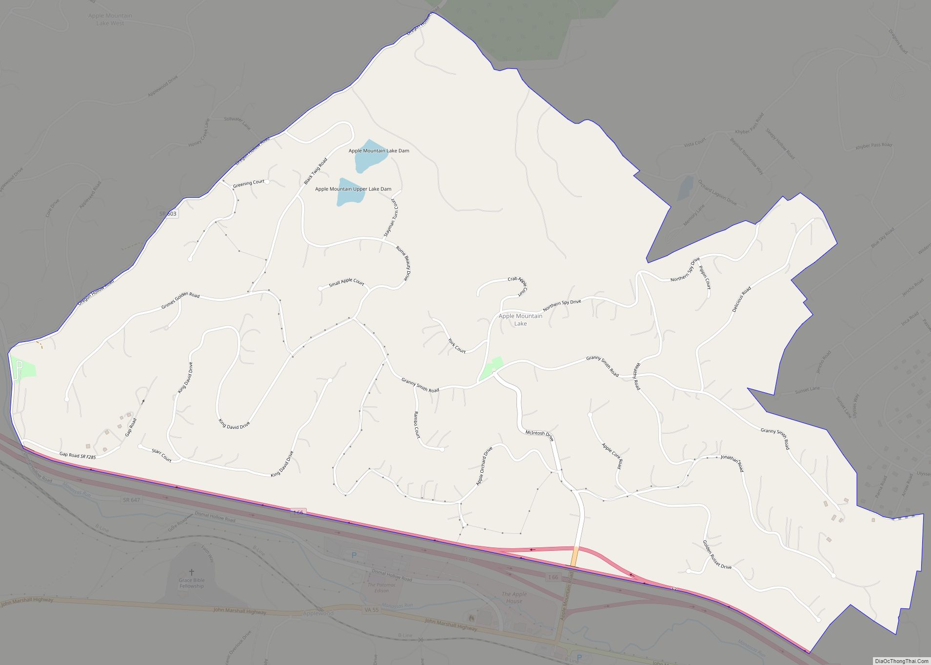
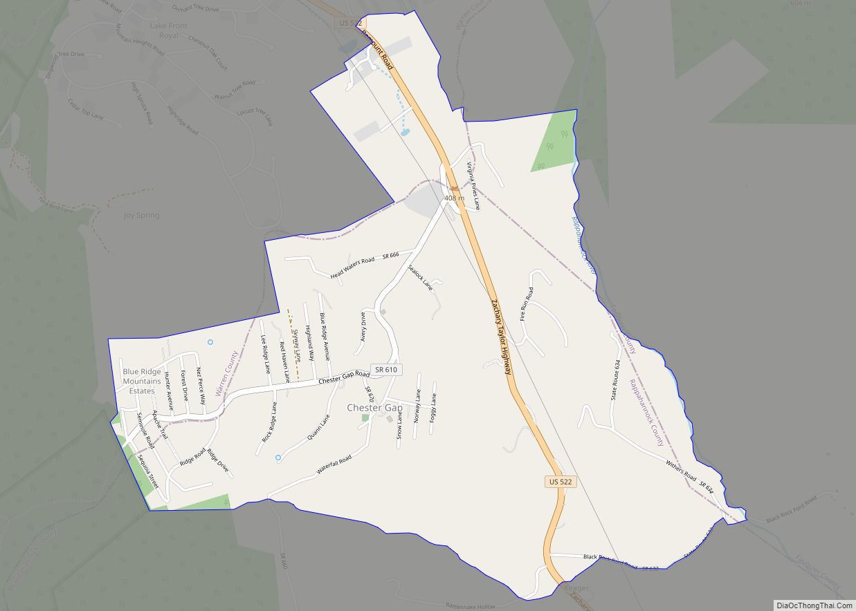
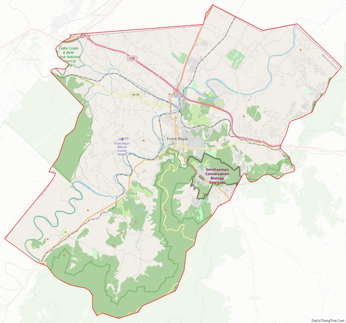
Warren County Road Map
Geography
According to the U.S. Census Bureau, the county has a total area of 217 square miles (560 km), of which 213 square miles (550 km) is land and 3.3 square miles (8.5 km) (1.5%) is water. The highest point is Hogback Mountain in Shenandoah National Park, along the border with Rappahannock County.
Adjacent counties
- Frederick County, Virginia – north
- Clarke County, Virginia – northeast
- Fauquier County, Virginia – east
- Rappahannock County, Virginia – southeast
- Page County, Virginia – southwest
- Shenandoah County, Virginia – west
National protected areas
- Cedar Creek and Belle Grove National Historical Park (part)
- George Washington National Forest (part)
- Shenandoah National Park (part)
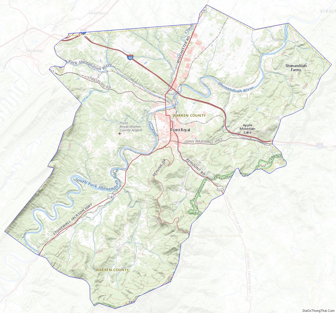
Warren County Topographic Map
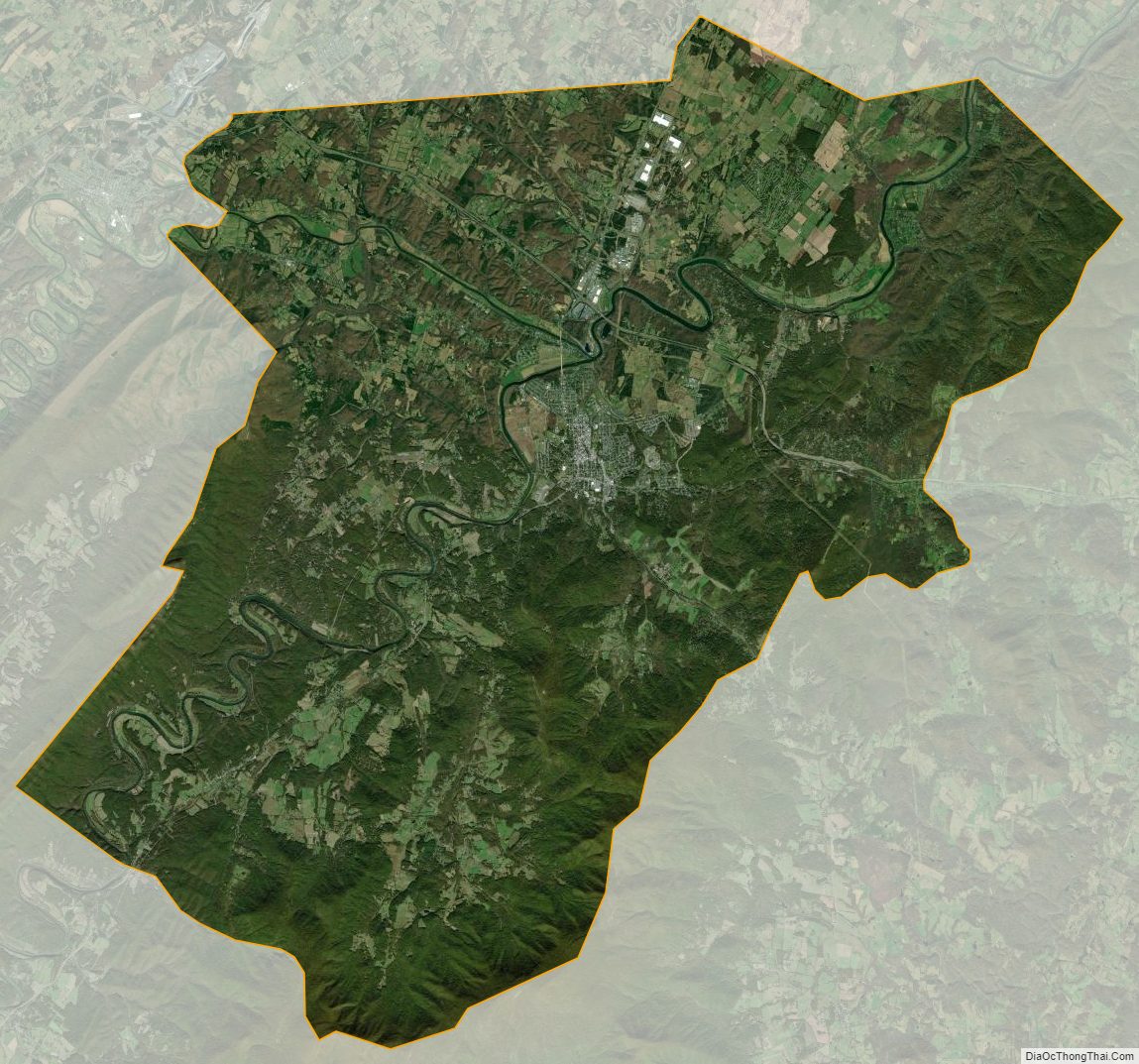
Warren County Satellite Map
Warren County Outline Map