St. Leo is a town in Pasco County, Florida, United States. It is a suburb included in the Tampa-St. Petersburg-Clearwater, Florida Metropolitan Statistical Area. The population was 1,340 at the 2010 census. It is best known as the home of St. Leo University, Holy Name Monastery and St. Leo Abbey. Vincent D’Ambrosio currently serves as the commission-elected mayor of the town, elected in 2022.
| Name: | St. Leo town |
|---|---|
| LSAD Code: | 43 |
| LSAD Description: | town (suffix) |
| State: | Florida |
| County: | Pasco County |
| Elevation: | 187 ft (57 m) |
| Total Area: | 1.30 sq mi (3.37 km²) |
| Land Area: | 1.12 sq mi (2.91 km²) |
| Water Area: | 0.18 sq mi (0.46 km²) |
| Total Population: | 2,362 |
| Population Density: | 2,103.29/sq mi (811.92/km²) |
| ZIP code: | 33574 |
| FIPS code: | 1262775 |
| GNISfeature ID: | 0290265 |
| Website: | http://www.townofstleo.org |
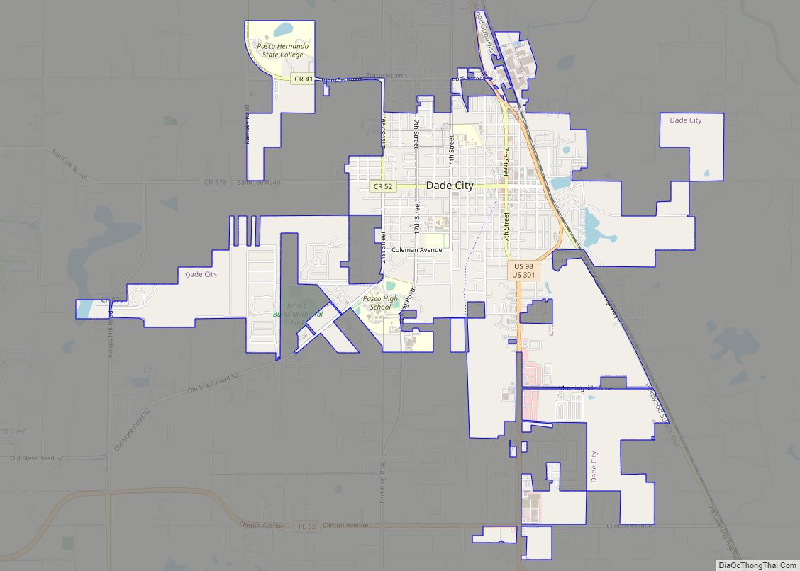
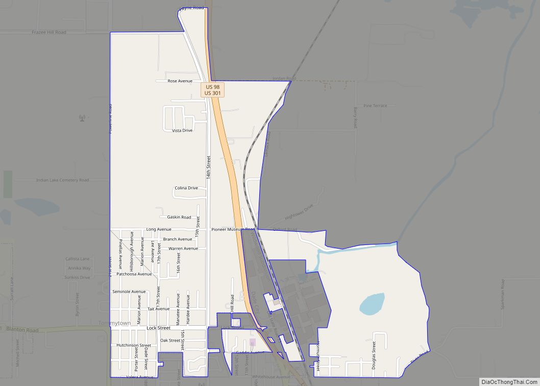
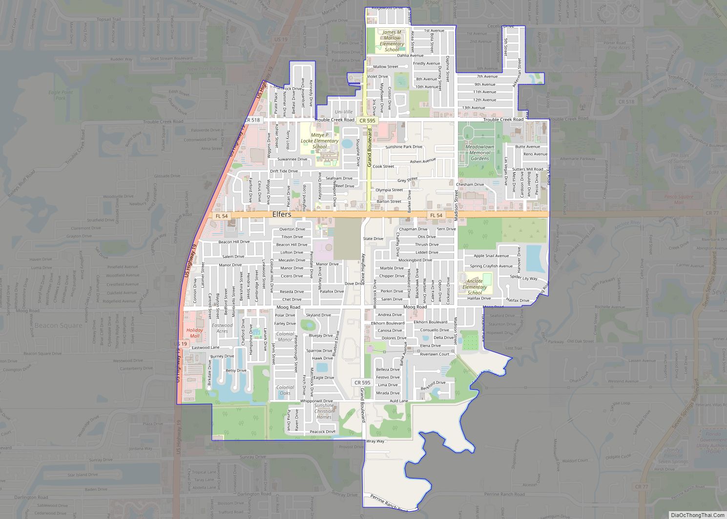
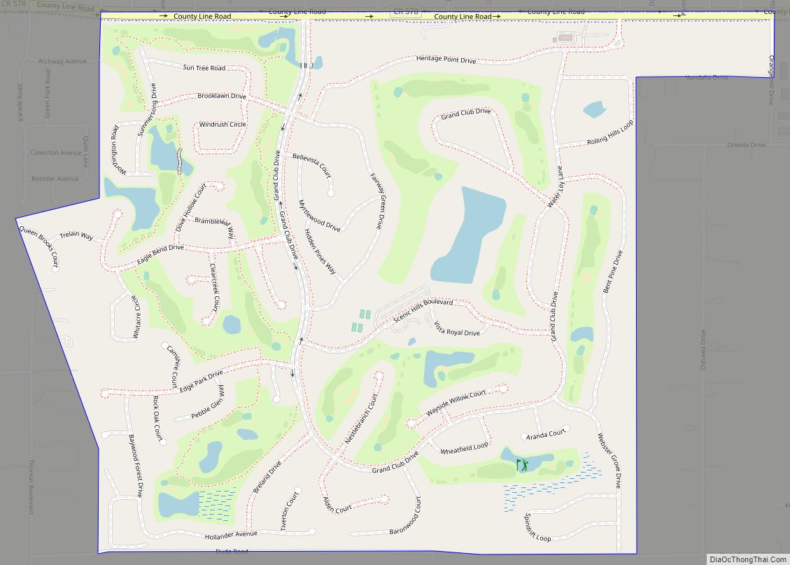
Online Interactive Map
Click on ![]() to view map in "full screen" mode.
to view map in "full screen" mode.
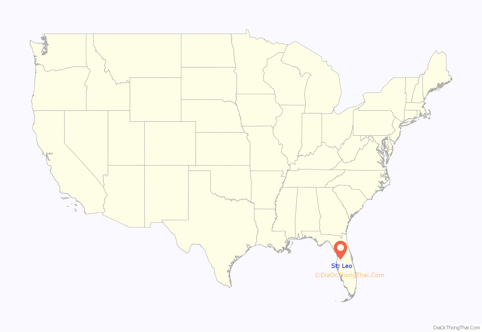
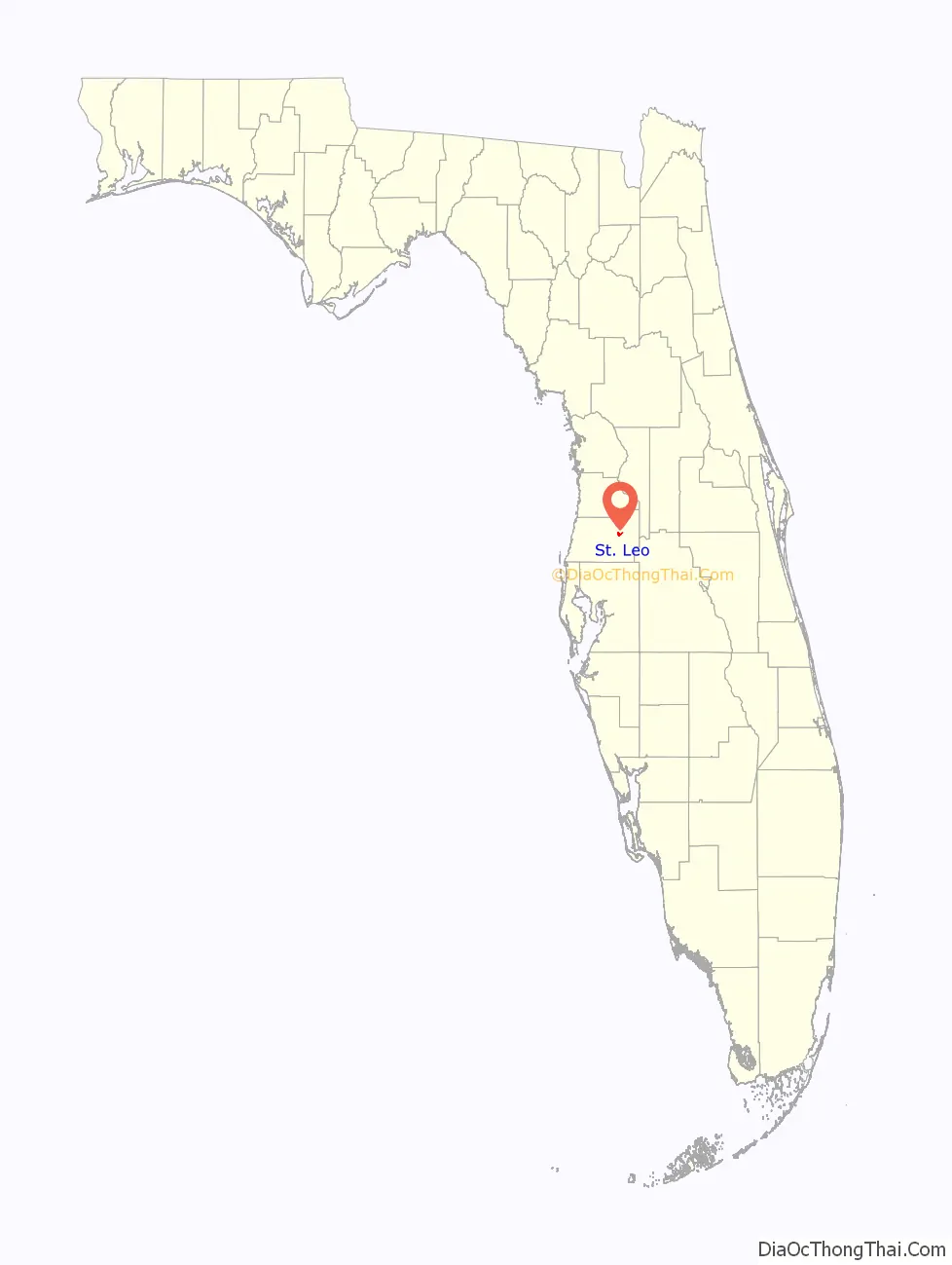
St. Leo location map. Where is St. Leo town?
History
In 1889 the Benedictines established the monastery of St. Leo and St. Leo College on Judge Edmund F. Dunne’s former homestead and farm land east of San Antonio, Florida on the shores of Lake Jovita, later incorporating the area as part of a new town called St. Leo.
Dunne was a legal counsel involved in the Disston Land Purchase of 1881, and as his commission, received 100,000 choice acres (400 km2) of land out of the 4,000,000 acre (16,000 km) purchase. The following year on February 15, while surveying the Disston Purchase with his cousin, Captain Hugh Dunne, Dunne selected the area around Lake Jovita, which he named after St. Jovita, as his commission and began settling it. He first established the Catholic colony of San Antonio in 1882, and later added the surrounding villages of Saint Joseph, Saint Thomas, Villa Maria, Carmel and San Felipe. Only the rural community of Saint Joseph survives today. The area of what is now the Town of St. Leo, although originally platted as another village by Dunne, did not receive its name until after the arrival of the Benedictine monks. The present name is derived from Pope Leo IX.
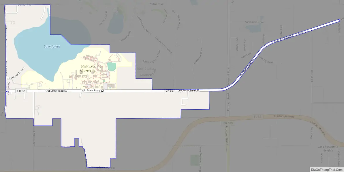
St. Leo Road Map
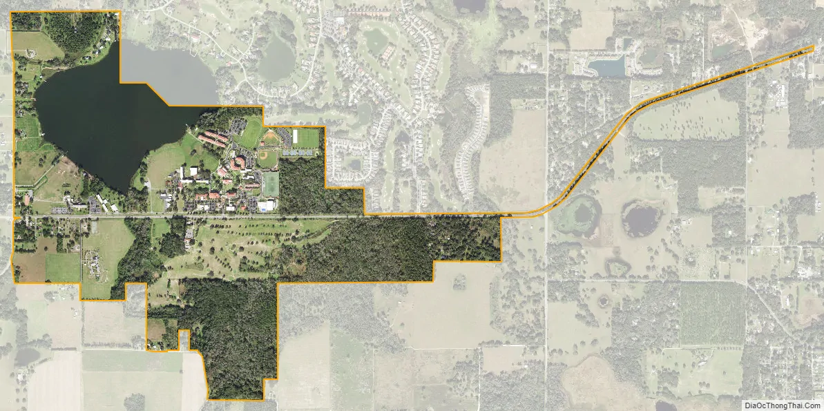
St. Leo city Satellite Map
Geography
St. Leo is located at 28°20′17″N 82°15′12″W / 28.33806°N 82.25333°W / 28.33806; -82.25333 (28.337929, –82.253265).
According to the United States Census Bureau, the town has a total area of 1.9 square miles (4.9 km), of which 1.6 square miles (4.1 km) is land and 0.3 square miles (0.78 km) (13.90%) is water.
St. Leo contains rolling hills with elevations from 100 ft to 180 ft.
Climate
See also
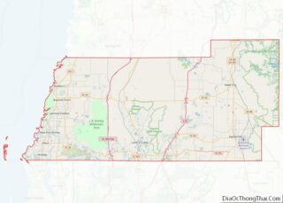
Map of Florida State and its subdivision:- Alachua
- Baker
- Bay
- Bradford
- Brevard
- Broward
- Calhoun
- Charlotte
- Citrus
- Clay
- Collier
- Columbia
- Desoto
- Dixie
- Duval
- Escambia
- Flagler
- Franklin
- Gadsden
- Gilchrist
- Glades
- Gulf
- Hamilton
- Hardee
- Hendry
- Hernando
- Highlands
- Hillsborough
- Holmes
- Indian River
- Jackson
- Jefferson
- Lafayette
- Lake
- Lee
- Leon
- Levy
- Liberty
- Madison
- Manatee
- Marion
- Martin
- Miami-Dade
- Monroe
- Nassau
- Okaloosa
- Okeechobee
- Orange
- Osceola
- Palm Beach
- Pasco
- Pinellas
- Polk
- Putnam
- Saint Johns
- Saint Lucie
- Santa Rosa
- Sarasota
- Seminole
- Sumter
- Suwannee
- Taylor
- Union
- Volusia
- Wakulla
- Walton
- Washington
- Alabama
- Alaska
- Arizona
- Arkansas
- California
- Colorado
- Connecticut
- Delaware
- District of Columbia
- Florida
- Georgia
- Hawaii
- Idaho
- Illinois
- Indiana
- Iowa
- Kansas
- Kentucky
- Louisiana
- Maine
- Maryland
- Massachusetts
- Michigan
- Minnesota
- Mississippi
- Missouri
- Montana
- Nebraska
- Nevada
- New Hampshire
- New Jersey
- New Mexico
- New York
- North Carolina
- North Dakota
- Ohio
- Oklahoma
- Oregon
- Pennsylvania
- Rhode Island
- South Carolina
- South Dakota
- Tennessee
- Texas
- Utah
- Vermont
- Virginia
- Washington
- West Virginia
- Wisconsin
- Wyoming