Trilby is a census-designated place (CDP) in the northeast corner of Pasco County, Florida, United States. The population was 433 at the 2020 census.
Trilby has a non-profit “Greater Trilby Community Association” which exists to improve the life and quality of residents of the Trilby, Trilacoochee and Lacoochee area.
Trilby is the southernmost community along the Withlacoochee State Trail.
| Name: | Trilby CDP |
|---|---|
| LSAD Code: | 57 |
| LSAD Description: | CDP (suffix) |
| State: | Florida |
| County: | Pasco County |
| Elevation: | 85 ft (26 m) |
| Total Area: | 1.00 sq mi (2.60 km²) |
| Land Area: | 1.00 sq mi (2.60 km²) |
| Water Area: | 0.00 sq mi (0.00 km²) 0% |
| Total Population: | 433 |
| Population Density: | 431.70/sq mi (166.66/km²) |
| ZIP code: | 33593 |
| Area code: | 352 |
| FIPS code: | 1272425 |
| GNISfeature ID: | 0294231 |
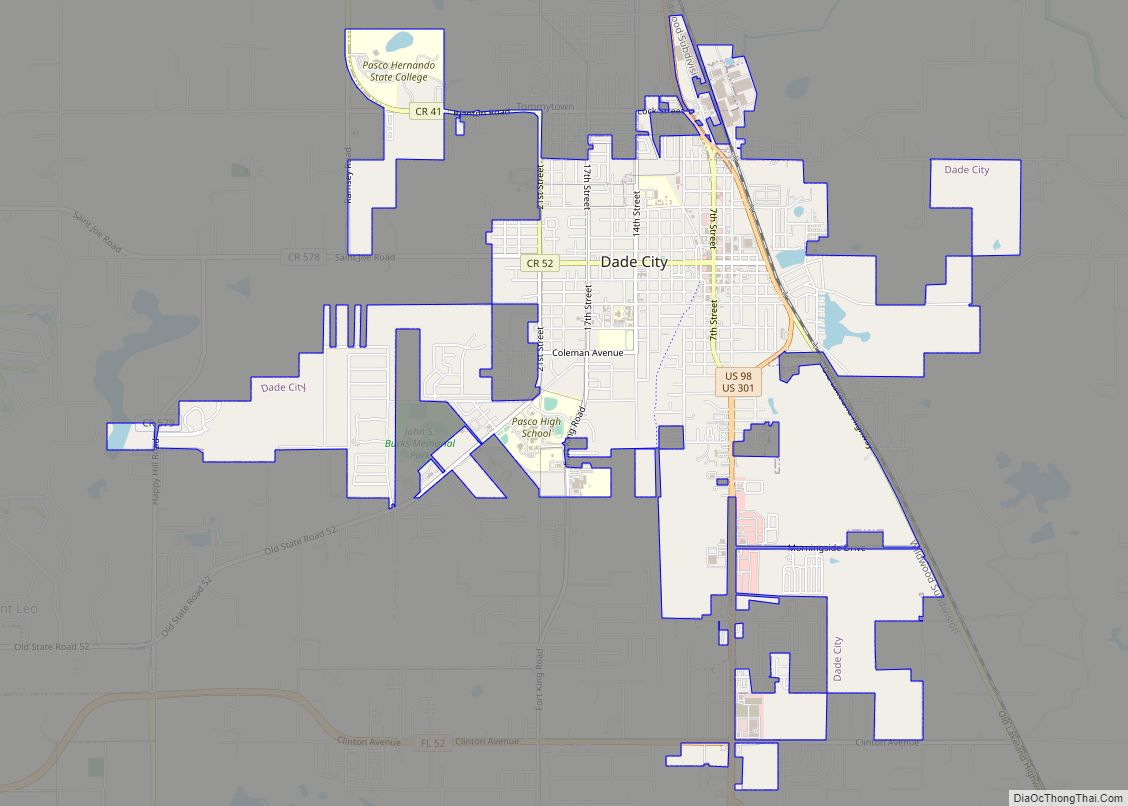
Online Interactive Map
Click on ![]() to view map in "full screen" mode.
to view map in "full screen" mode.
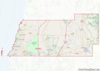
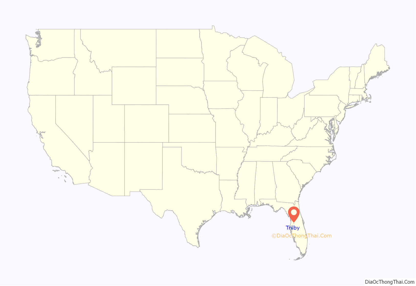
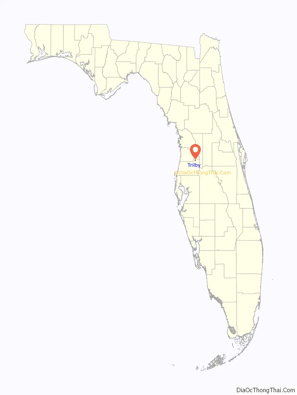
Trilby location map. Where is Trilby CDP?
History
An earlier name for the town was Macon. The newer name Trilby was in use by 1895, although the Macon post office was not renamed Trilby until 1901. Railroad magnate Henry Plant changed the name of the town because it duplicated the name of Macon, Georgia. He has been quoted as saying he wished to name it “after the heroine of a story which has lately deeply moved me”, referring to George du Maurier’s novel of the same name. Trilby was incorporated by the state legislature as a town on May 23, 1901 but was disincorporated on May 11, 1909. The town was again incorporated by the state legislature in 1913 but was disincorporated for a second time on April 24, 1935. Because of the loss of its railroad industry, it has declined into a residential community for Dade City, and also for the Tampa Bay region.
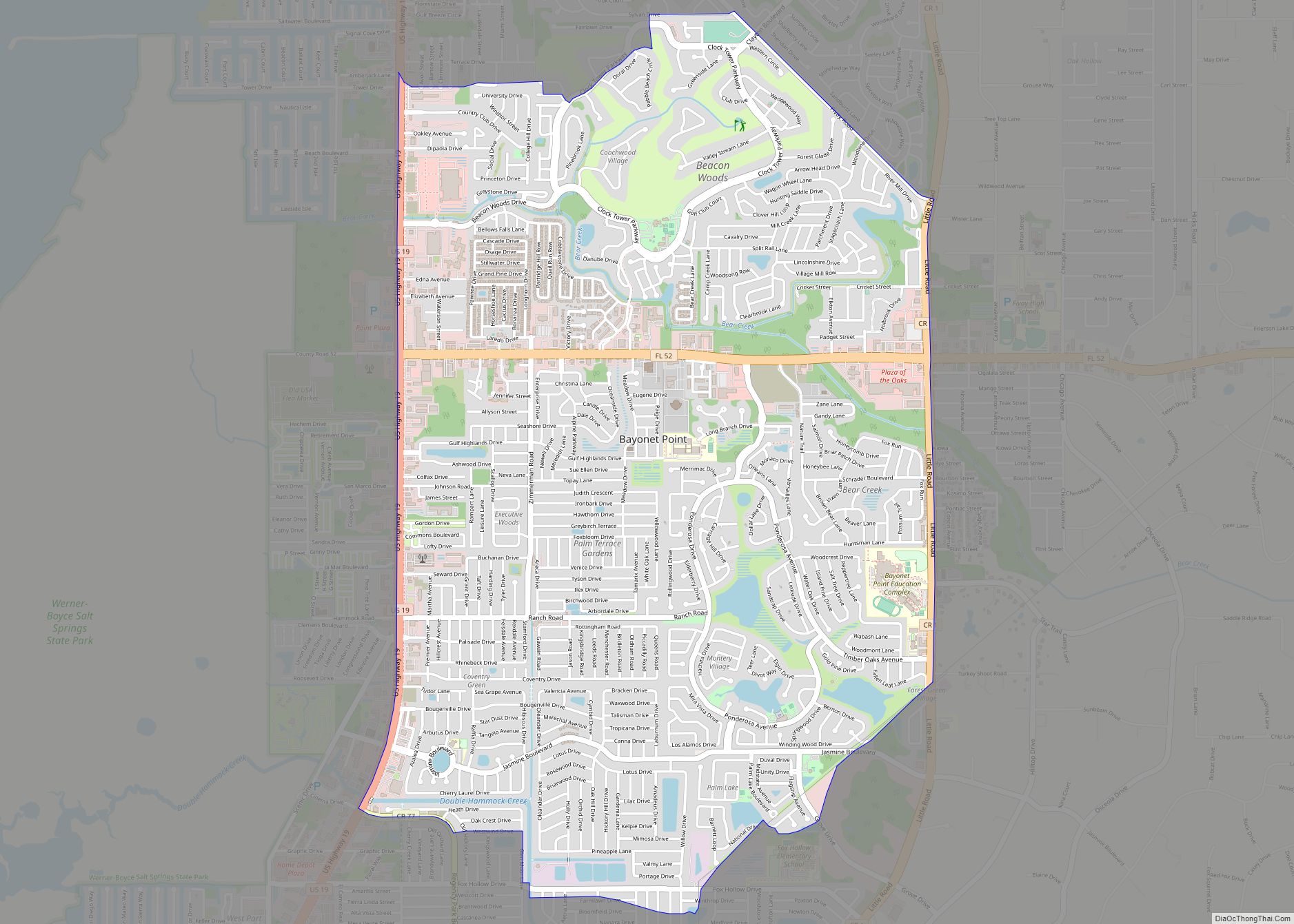
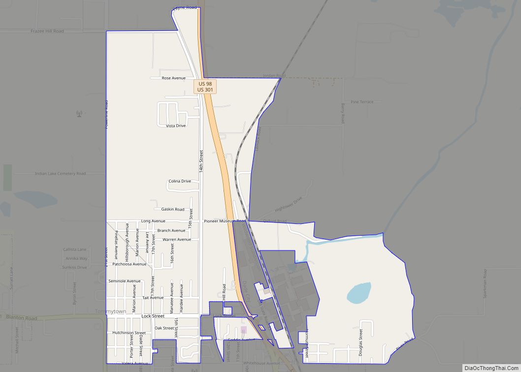
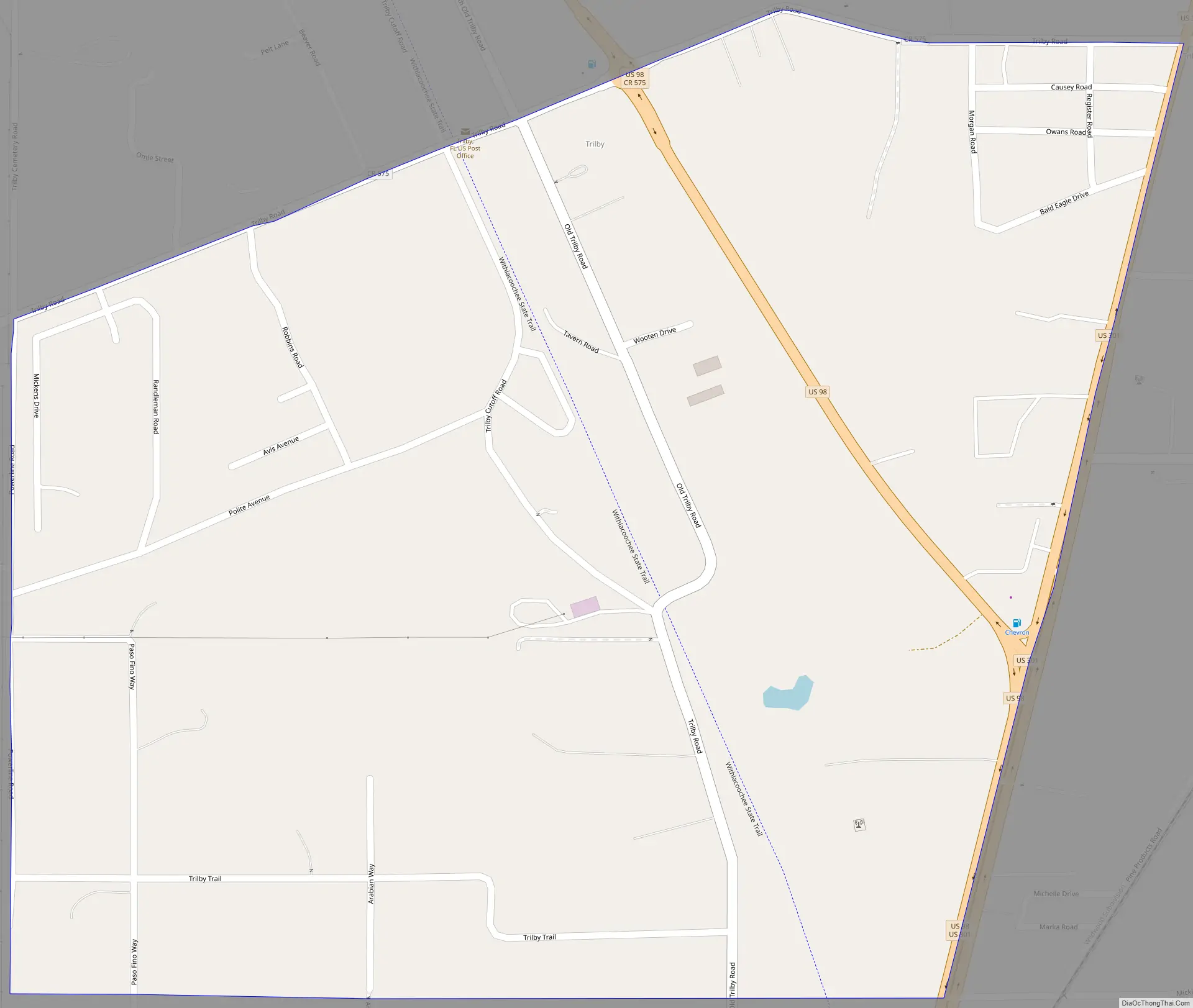
Trilby Road Map
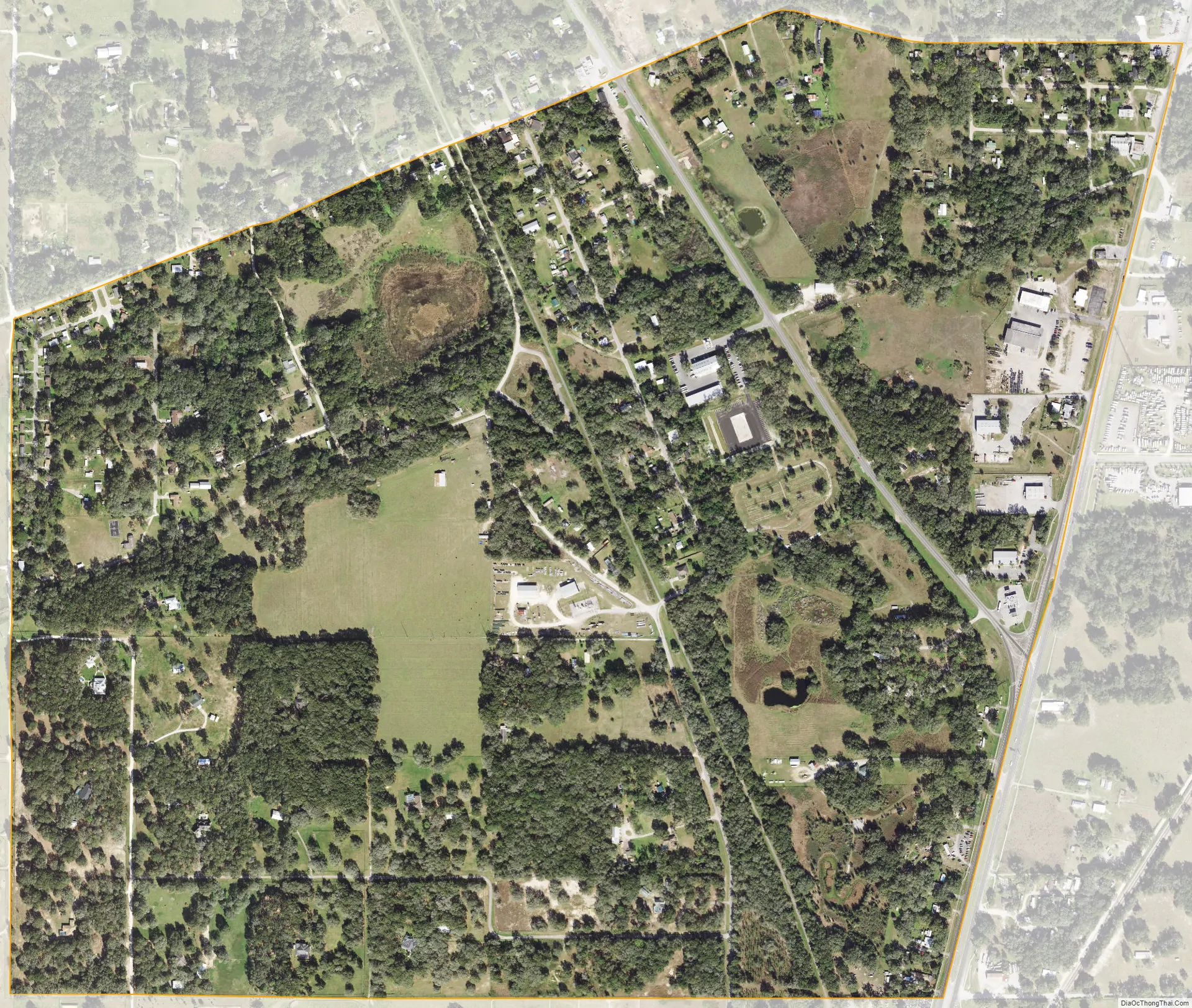
Trilby city Satellite Map
Geography
According to the United States Census Bureau, the CDP has an area of 1.0 square mile (2.6 km), all land.
U.S. Highway 98 runs along the east side of Trilby, immediately to the north of a split with U.S. Highway 301 (US 301). In addition, Pasco County Road 575 passes through the center of town on a roughly east–west itinerary, and continues east toward adjacent Trilacoochee, followed by Lacoochee.
The southern terminus of the Withlacoochee State Trail, the longest rail trail in Florida, is located near Trilby.
See also
Map of Florida State and its subdivision:- Alachua
- Baker
- Bay
- Bradford
- Brevard
- Broward
- Calhoun
- Charlotte
- Citrus
- Clay
- Collier
- Columbia
- Desoto
- Dixie
- Duval
- Escambia
- Flagler
- Franklin
- Gadsden
- Gilchrist
- Glades
- Gulf
- Hamilton
- Hardee
- Hendry
- Hernando
- Highlands
- Hillsborough
- Holmes
- Indian River
- Jackson
- Jefferson
- Lafayette
- Lake
- Lee
- Leon
- Levy
- Liberty
- Madison
- Manatee
- Marion
- Martin
- Miami-Dade
- Monroe
- Nassau
- Okaloosa
- Okeechobee
- Orange
- Osceola
- Palm Beach
- Pasco
- Pinellas
- Polk
- Putnam
- Saint Johns
- Saint Lucie
- Santa Rosa
- Sarasota
- Seminole
- Sumter
- Suwannee
- Taylor
- Union
- Volusia
- Wakulla
- Walton
- Washington
- Alabama
- Alaska
- Arizona
- Arkansas
- California
- Colorado
- Connecticut
- Delaware
- District of Columbia
- Florida
- Georgia
- Hawaii
- Idaho
- Illinois
- Indiana
- Iowa
- Kansas
- Kentucky
- Louisiana
- Maine
- Maryland
- Massachusetts
- Michigan
- Minnesota
- Mississippi
- Missouri
- Montana
- Nebraska
- Nevada
- New Hampshire
- New Jersey
- New Mexico
- New York
- North Carolina
- North Dakota
- Ohio
- Oklahoma
- Oregon
- Pennsylvania
- Rhode Island
- South Carolina
- South Dakota
- Tennessee
- Texas
- Utah
- Vermont
- Virginia
- Washington
- West Virginia
- Wisconsin
- Wyoming