San Antonio, or unofficially San Ann as the locals call it, is a city in Pasco County, Florida, United States. It is a suburban city included in the Tampa-St. Petersburg-Clearwater, Florida Metropolitan Statistical Area. It lies within Florida’s 12th congressional district. The population was 1,138 at the 2010 census. It was established as a Catholic colony by Judge Edmund F. Dunne. The city derives its name from Saint Anthony of Padua. Saint Leo University is located nearby.
| Name: | San Antonio city |
|---|---|
| LSAD Code: | 25 |
| LSAD Description: | city (suffix) |
| State: | Florida |
| County: | Pasco County |
| Elevation: | 167ft/469ft ft (51/201 m) |
| Total Area: | 1.36 sq mi (3.52 km²) |
| Land Area: | 1.36 sq mi (3.52 km²) |
| Water Area: | 0.00 sq mi (0.00 km²) |
| Population Density: | 954.38/sq mi (368.44/km²) |
| ZIP code: | 33576 |
| Area code: | 352 |
| FIPS code: | 1263375 |
| GNISfeature ID: | 0290470 |
| Website: | www.sanantonioflorida.org |
Online Interactive Map
Click on ![]() to view map in "full screen" mode.
to view map in "full screen" mode.
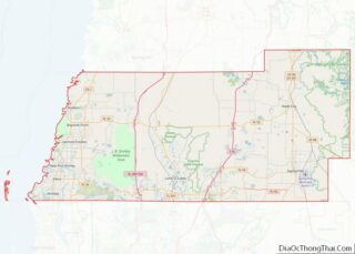
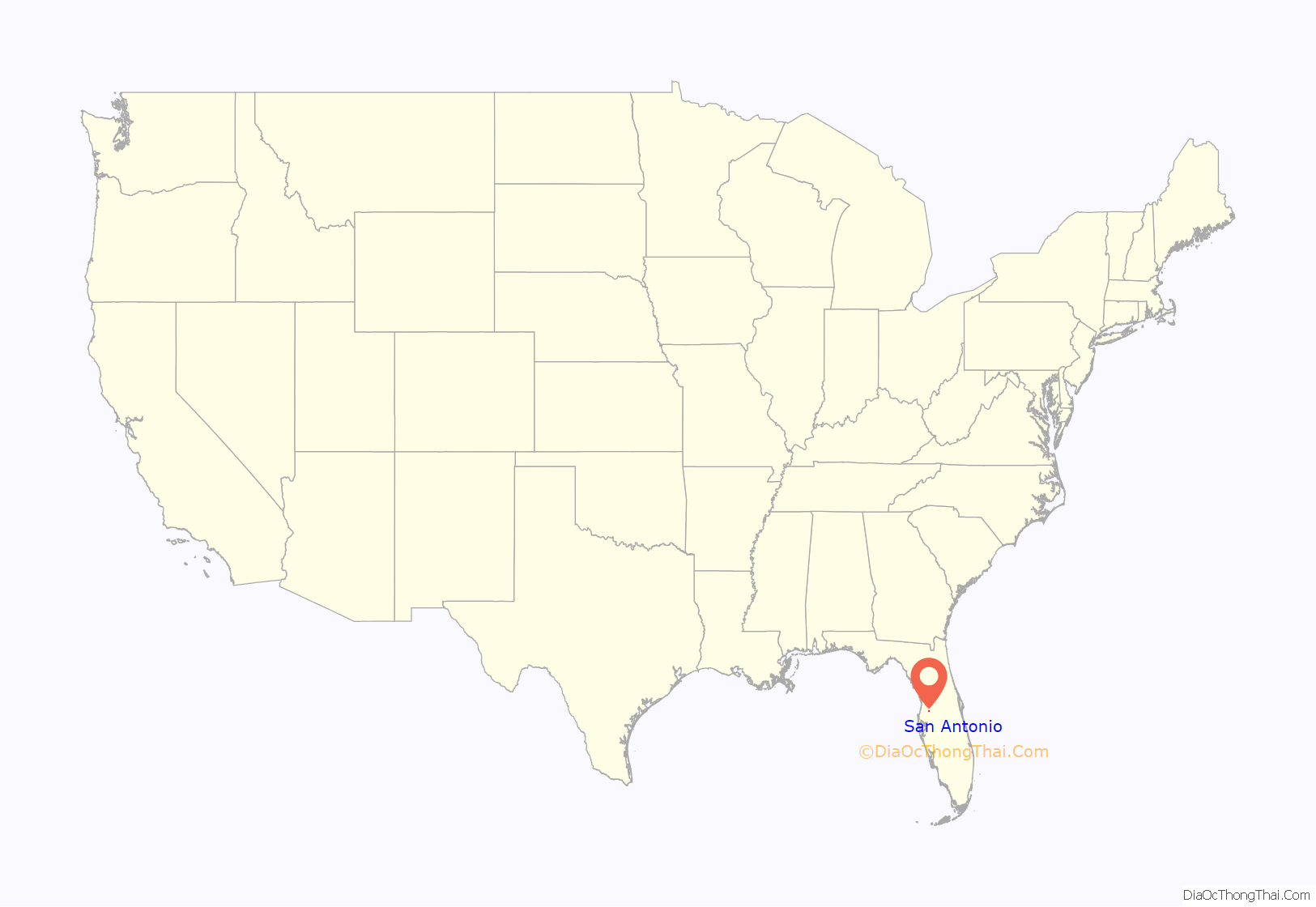
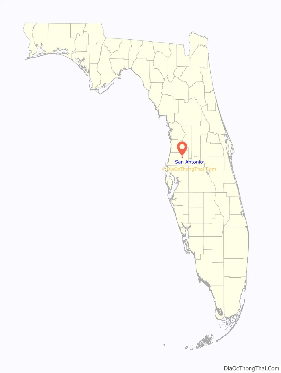
San Antonio location map. Where is San Antonio city?
History
San Antonio was founded (in name only) in 1881 by Edmund F. Dunne who previously had been chief justice of the Arizona territory. Dunne was a legal counsel involved in the Disston Land Purchase, and as his commission, received 100,000 choice acres (400 km2) of land out of the 4,000,000 acre (16,000 km) purchase. The following year on February 15, while surveying the Disston Purchase with his cousin, Captain Hugh Dunne, he came upon a previously unsurveyed lake with crystal clear water. Seeing in a prayer book that it was the feast day of St. Jovita, he named the lake after the early Christian martyr. Judge Dunne selected the city’s location on Jovita’s western shore and began settling it in earnest. He established the city as the center of a Catholic colony in Florida. Dunne planned several other villages for the surrounding area including St. Thomas, Villa Maria, Carmel and San Felipe, but only the rural community of St. Joseph survives today. In 1889 the Benedictines established the monastery of St. Leo and St. Leo College on Dunne’s former homestead and farm land, later incorporating the area as part of a separate town, St. Leo, Florida. At about the same time, five Benedictine sisters established Holy Name Convent in the center of San Antonio. The nuns had come to teach at two local schools (St. Anthony School and St. Joseph School), as well as to establish Holy Name Academy. The sisters had the convent and the academy physically moved by oxen to a 40-acre parcel in St. Leo overlooking the southwestern shore of Lake Jovita in 1911. The nuns remained at St. Anthony School until the end of the 2009–2010 academic year. At the time of its founding San Antonio was located in the southern third of Hernando County, as Pasco County was not created until 1887. The Orange Belt Railway first began service to San Antonio in November 1887. For a short time beginning in 1927, the city officially changed its name to the town of Lake Jovita, only to revert to San Antonio in 1933.
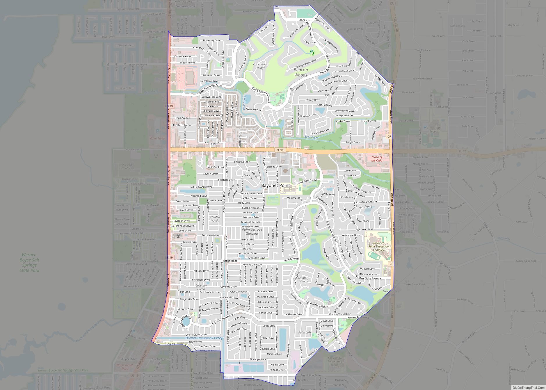
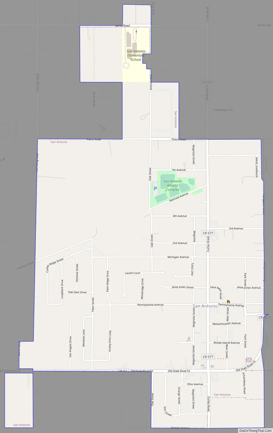
San Antonio Road Map
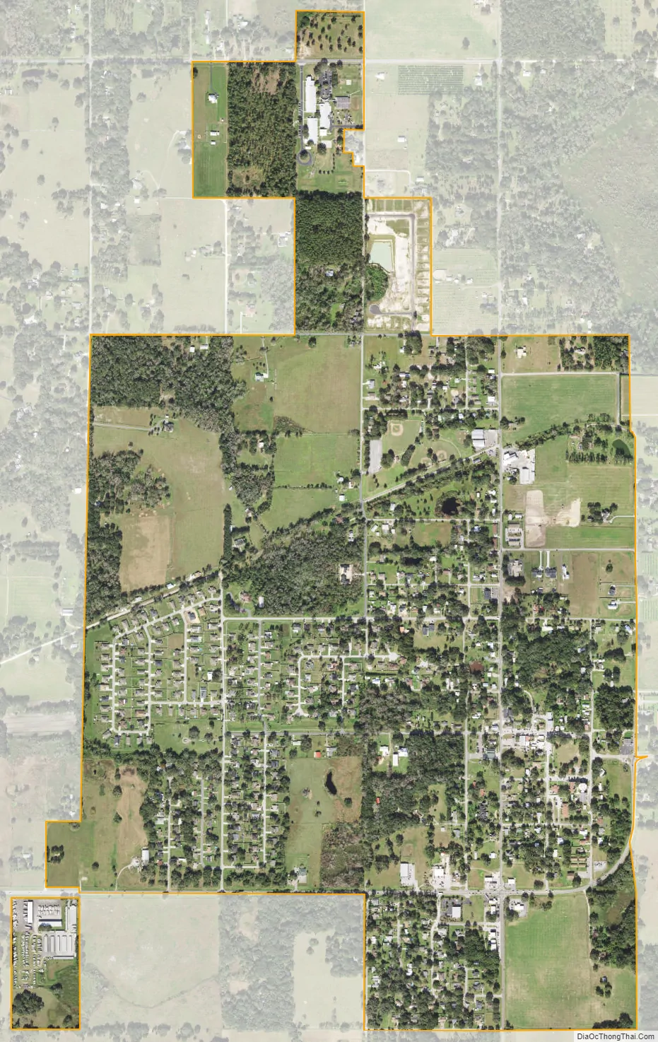
San Antonio city Satellite Map
Geography
San Antonio is located at 28°20′12″N 82°16′30″W / 28.33667°N 82.27500°W / 28.33667; -82.27500 (28.336649, −82.275011).
According to the United States Census Bureau, the village has a total area of 1.2 square miles (3.1 km), all land.
San Antonio has a rolling topography with elevations varying from a low of 110 feet on the western edge of the city to as high as 183 feet on a hill overlooking Lake Jovita on the eastern edge of town.
See also
Map of Florida State and its subdivision:- Alachua
- Baker
- Bay
- Bradford
- Brevard
- Broward
- Calhoun
- Charlotte
- Citrus
- Clay
- Collier
- Columbia
- Desoto
- Dixie
- Duval
- Escambia
- Flagler
- Franklin
- Gadsden
- Gilchrist
- Glades
- Gulf
- Hamilton
- Hardee
- Hendry
- Hernando
- Highlands
- Hillsborough
- Holmes
- Indian River
- Jackson
- Jefferson
- Lafayette
- Lake
- Lee
- Leon
- Levy
- Liberty
- Madison
- Manatee
- Marion
- Martin
- Miami-Dade
- Monroe
- Nassau
- Okaloosa
- Okeechobee
- Orange
- Osceola
- Palm Beach
- Pasco
- Pinellas
- Polk
- Putnam
- Saint Johns
- Saint Lucie
- Santa Rosa
- Sarasota
- Seminole
- Sumter
- Suwannee
- Taylor
- Union
- Volusia
- Wakulla
- Walton
- Washington
- Alabama
- Alaska
- Arizona
- Arkansas
- California
- Colorado
- Connecticut
- Delaware
- District of Columbia
- Florida
- Georgia
- Hawaii
- Idaho
- Illinois
- Indiana
- Iowa
- Kansas
- Kentucky
- Louisiana
- Maine
- Maryland
- Massachusetts
- Michigan
- Minnesota
- Mississippi
- Missouri
- Montana
- Nebraska
- Nevada
- New Hampshire
- New Jersey
- New Mexico
- New York
- North Carolina
- North Dakota
- Ohio
- Oklahoma
- Oregon
- Pennsylvania
- Rhode Island
- South Carolina
- South Dakota
- Tennessee
- Texas
- Utah
- Vermont
- Virginia
- Washington
- West Virginia
- Wisconsin
- Wyoming