Hertford is a town and the county seat of Perquimans County, North Carolina, United States. The current population of Hertford, North Carolina is 1,912 based on the 2020 census. The US Census estimates the 2021 population at 1,925. The last official US Census in 2010 recorded the population at 2,143. Hertford is located in North Carolina’s Inner Banks region and is part of both the Elizabeth City Micropolitan Statistical Area and the Hampton Roads region. It is named after the county town of Hertford, England.
| Name: | Hertford town |
|---|---|
| LSAD Code: | 43 |
| LSAD Description: | town (suffix) |
| State: | North Carolina |
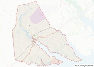
| County: | Perquimans County |
| Incorporated: | 1758 |
| Elevation: | 10 ft (3 m) |
| Total Area: | 2.88 sq mi (7.47 km²) |
| Land Area: | 2.86 sq mi (7.41 km²) |
| Water Area: | 0.02 sq mi (0.05 km²) |
| Total Population: | 1,934 |
| Population Density: | 675.99/sq mi (260.96/km²) |
| ZIP code: | 27930, 27944 |
| Area code: | 252 |
| FIPS code: | 3730900 |
| GNISfeature ID: | 1025382 |
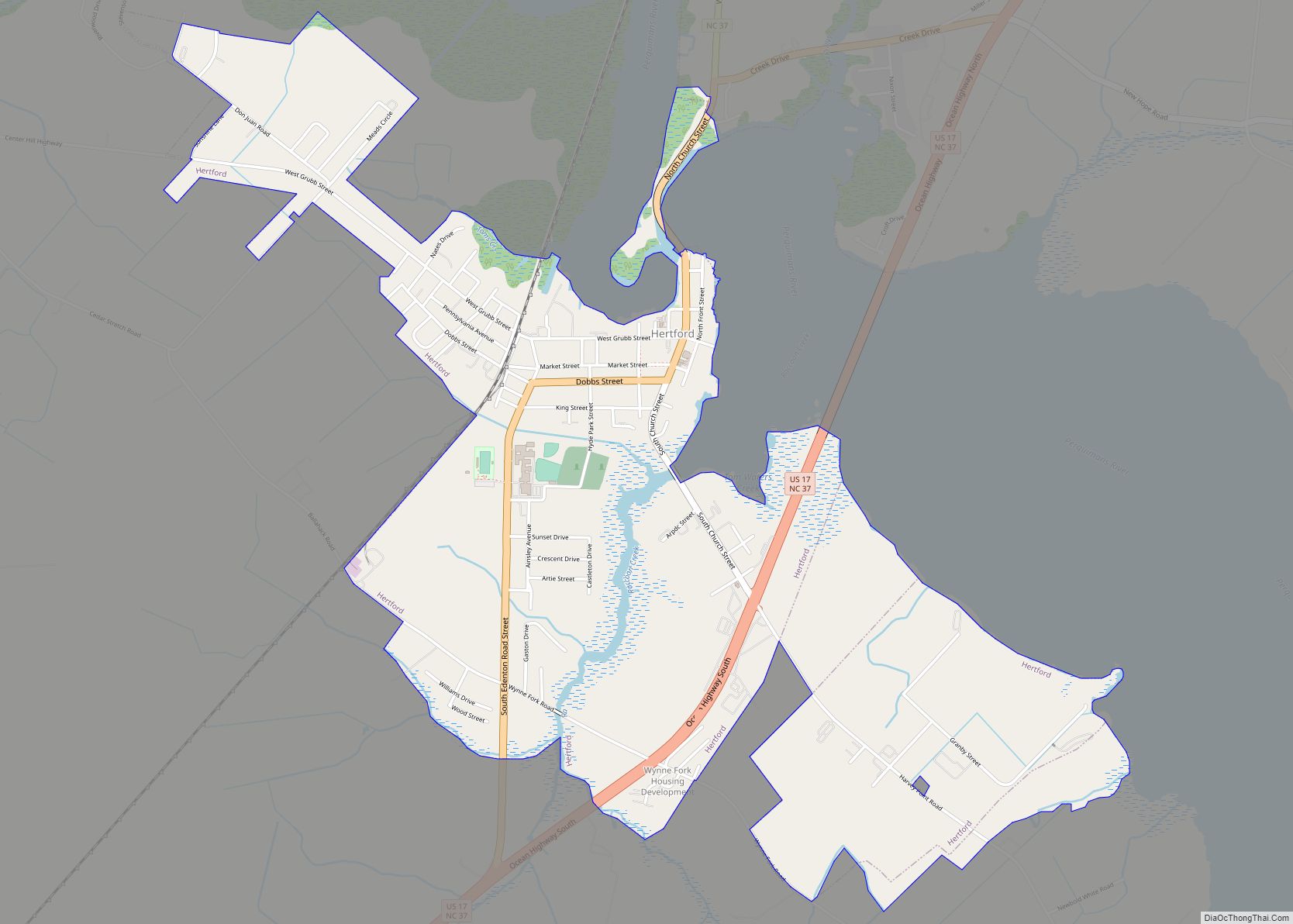
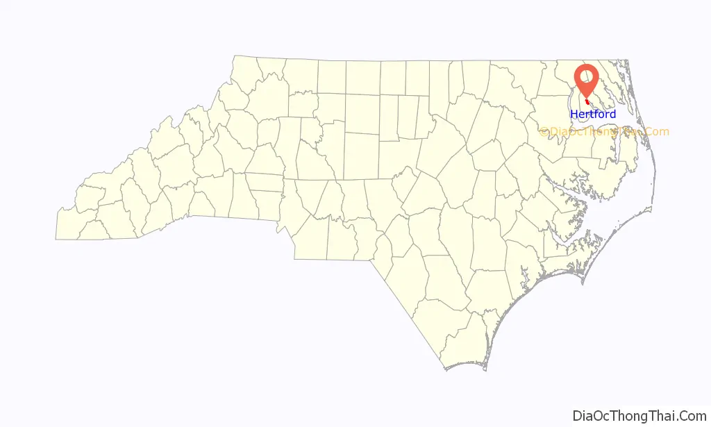
Online Interactive Map
Click on ![]() to view map in "full screen" mode.
to view map in "full screen" mode.
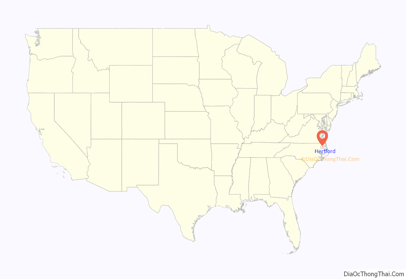
Hertford location map. Where is Hertford town?
History
Hertford was originally incorporated in 1758 as the county seat for Perquimans County, first inhabited by the Yeopim Indians. County records show that the Yeopim chief Kalcacenin sold land to George Durant at the river mouth in March 1662, adjacent to land he had already sold to Samuel Pricklove. The area was settled soon afterwards, and a brick house on the site, the Newbold-White House, has been dated by dendrochronology to 1730; it is the oldest known brick structure in the state.
Through the first part of the 20th century, Hertford thrived as a lumber town, making good use of the nearby river. The bridge that spanned the river was a floating bridge, made of steel and wood. When a boat came near and wanted passage, the bridge would be unhooked from one bank and allowed to float out of the way. When the boat had passed, lines were used to haul the free end of the bridge in and reconnect it. An swing bridge with S-shaped approaches is in use today. Local lore claims its shape is unique in the US, but the Blaine Hill “S” Bridge predates it by over a century.
Hertford is the hometown of baseball pitcher Catfish Hunter. Disc jockey Wolfman Jack is buried in nearby Belvidere, and the record company he started is still located in Hertford.
The Church of the Holy Trinity, Cove Grove, Fletcher-Skinner-Nixon House and Outbuildings, Hertford Historic District, Land’s End, Newbold-White House, Samuel Nixon House, Old Neck Historic District, Perquimans County Courthouse, and Sutton-Newby House are listed on the National Register of Historic Places.
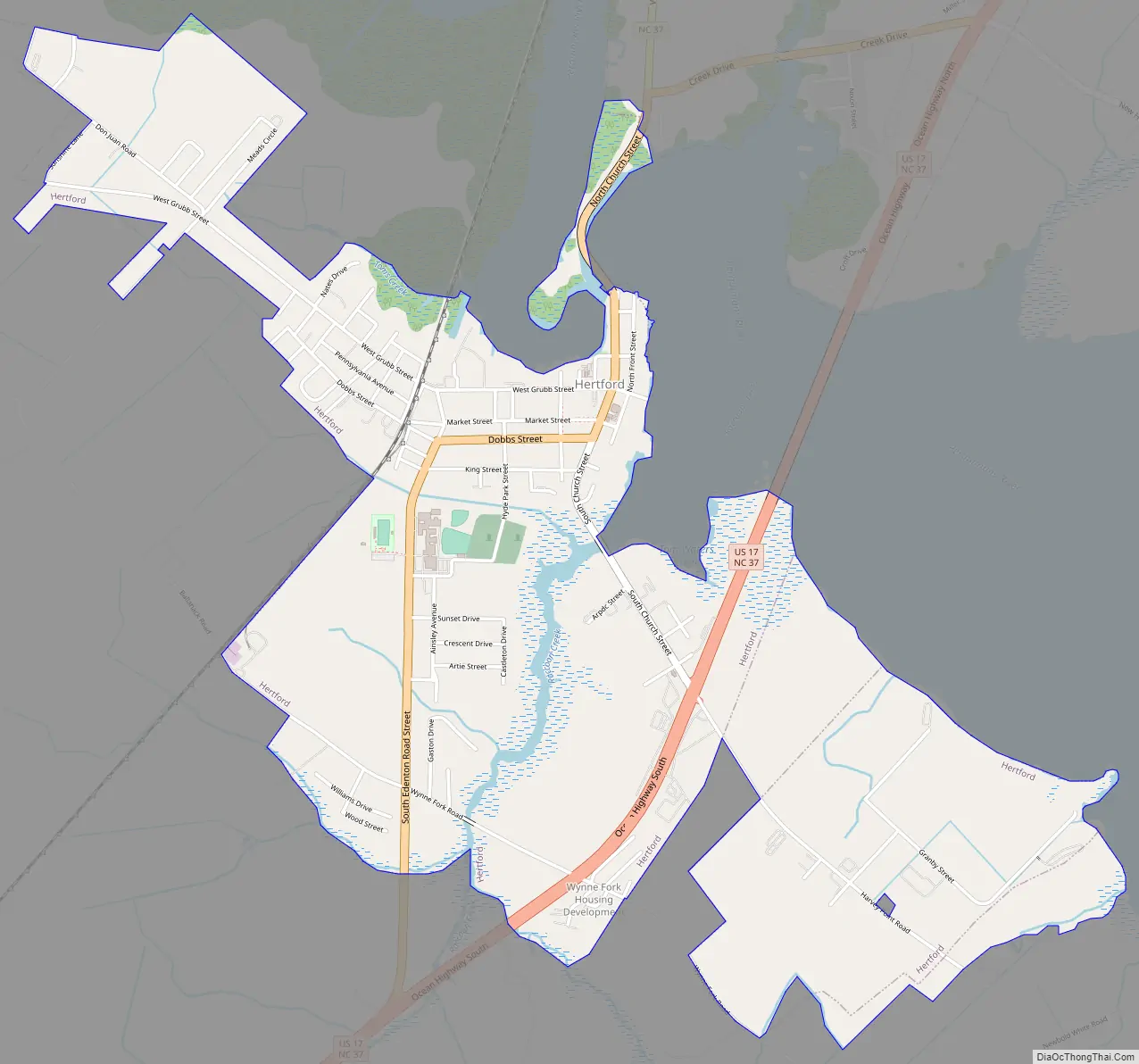
Hertford Road Map
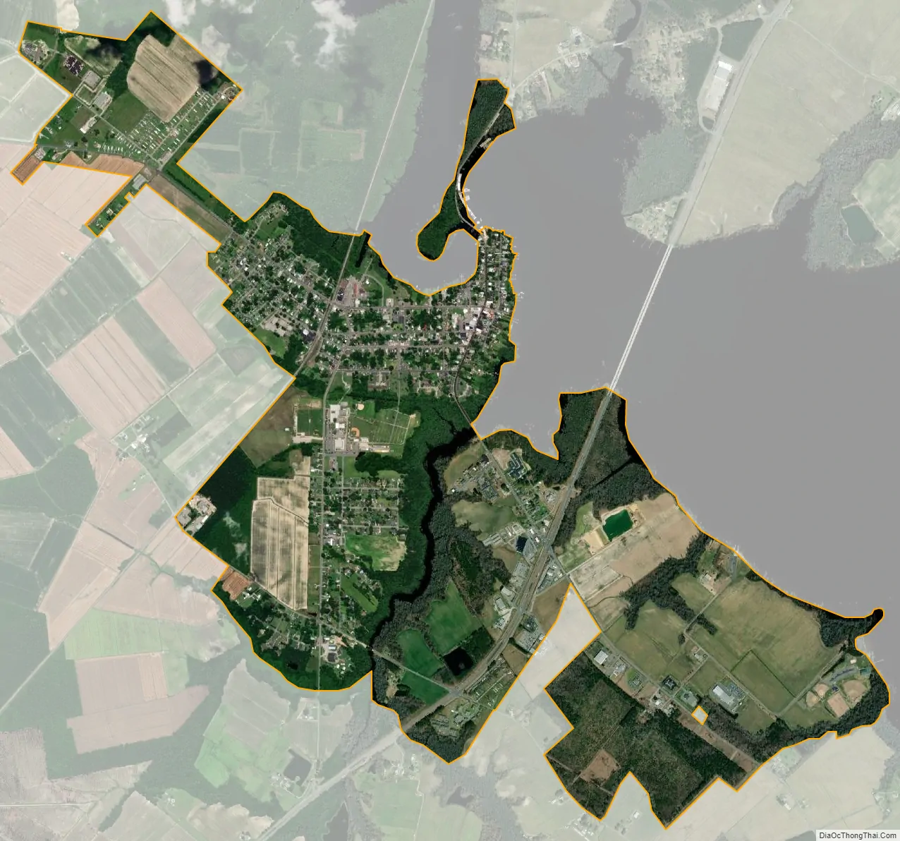
Hertford city Satellite Map
Geography
Hertford is located at 36°11′14″N 76°28′20″W / 36.18722°N 76.47222°W / 36.18722; -76.47222 (36.187292, -76.472345).
According to the United States Census Bureau, the town has a total area of 2.7 square miles (7.0 km), of which, 2.7 square miles (7.0 km) of it is land and 0.04 square miles (0.10 km) of it (0.74%) is water.
Hertford is 150 miles (240 km) east of Raleigh.
Hertford is also 57 miles (92 km) south of Norfolk.
See also
Map of North Carolina State and its subdivision:- Alamance
- Alexander
- Alleghany
- Anson
- Ashe
- Avery
- Beaufort
- Bertie
- Bladen
- Brunswick
- Buncombe
- Burke
- Cabarrus
- Caldwell
- Camden
- Carteret
- Caswell
- Catawba
- Chatham
- Cherokee
- Chowan
- Clay
- Cleveland
- Columbus
- Craven
- Cumberland
- Currituck
- Dare
- Davidson
- Davie
- Duplin
- Durham
- Edgecombe
- Forsyth
- Franklin
- Gaston
- Gates
- Graham
- Granville
- Greene
- Guilford
- Halifax
- Harnett
- Haywood
- Henderson
- Hertford
- Hoke
- Hyde
- Iredell
- Jackson
- Johnston
- Jones
- Lee
- Lenoir
- Lincoln
- Macon
- Madison
- Martin
- McDowell
- Mecklenburg
- Mitchell
- Montgomery
- Moore
- Nash
- New Hanover
- Northampton
- Onslow
- Orange
- Pamlico
- Pasquotank
- Pender
- Perquimans
- Person
- Pitt
- Polk
- Randolph
- Richmond
- Robeson
- Rockingham
- Rowan
- Rutherford
- Sampson
- Scotland
- Stanly
- Stokes
- Surry
- Swain
- Transylvania
- Tyrrell
- Union
- Vance
- Wake
- Warren
- Washington
- Watauga
- Wayne
- Wilkes
- Wilson
- Yadkin
- Yancey
- Alabama
- Alaska
- Arizona
- Arkansas
- California
- Colorado
- Connecticut
- Delaware
- District of Columbia
- Florida
- Georgia
- Hawaii
- Idaho
- Illinois
- Indiana
- Iowa
- Kansas
- Kentucky
- Louisiana
- Maine
- Maryland
- Massachusetts
- Michigan
- Minnesota
- Mississippi
- Missouri
- Montana
- Nebraska
- Nevada
- New Hampshire
- New Jersey
- New Mexico
- New York
- North Carolina
- North Dakota
- Ohio
- Oklahoma
- Oregon
- Pennsylvania
- Rhode Island
- South Carolina
- South Dakota
- Tennessee
- Texas
- Utah
- Vermont
- Virginia
- Washington
- West Virginia
- Wisconsin
- Wyoming