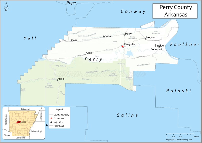
Perry County is a county located in the U.S. state of Arkansas. Its population was 10,019 at the 2020 United States Census. The county seat is Perryville. The county was formed on December 18, 1840, and named for Commodore Oliver Hazard Perry, naval hero in the War of 1812. It is an alcohol prohibition or dry county.
Perry County is included in the Little Rock–North Little Rock–Conway, AR Metropolitan Statistical Area.
| Name: | Perry County |
|---|---|
| FIPS code: | 05-105 |
| State: | Arkansas |
| Founded: | December 18, 1840 |
| Named for: | Oliver Hazard Perry |
| Seat: | Perryville |
| Largest city: | Perryville |
| Total Area: | 561 sq mi (1,450 km²) |
| Land Area: | 551 sq mi (1,430 km²) |
| Total Population: | 10,019 |
| Population Density: | 18/sq mi (6.9/km²) |
| Time zone: | UTC−6 (Central) |
| Summer Time Zone (DST): | UTC−5 (CDT) |
| Website: | perrycoarkansas.org |
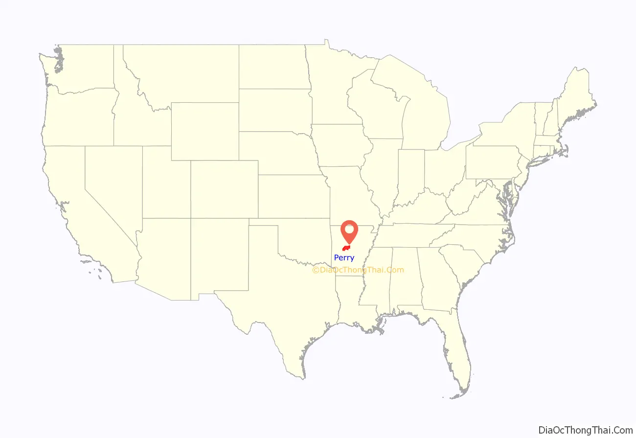
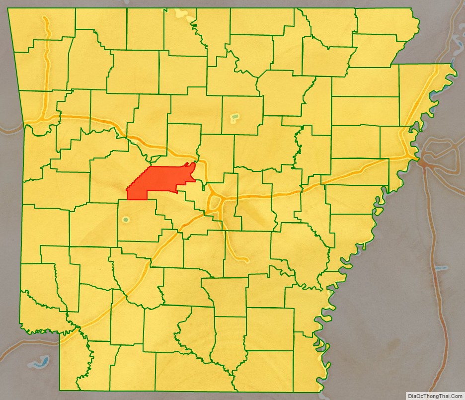
Perry County location map. Where is Perry County?
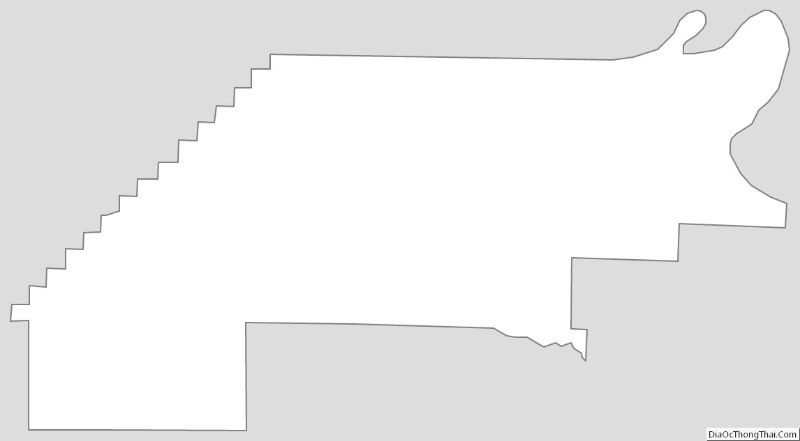
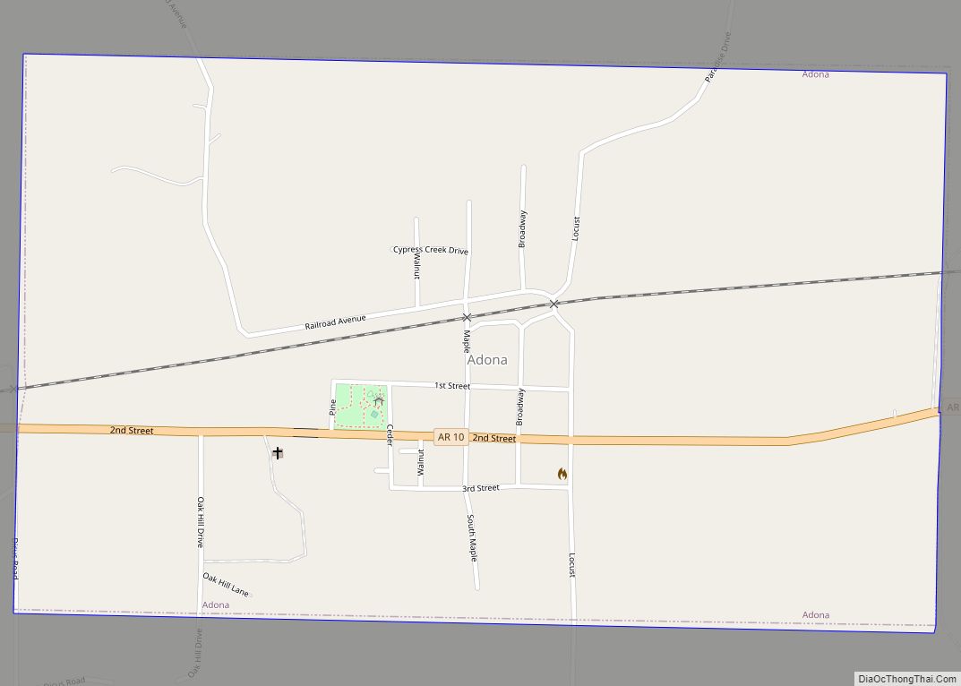
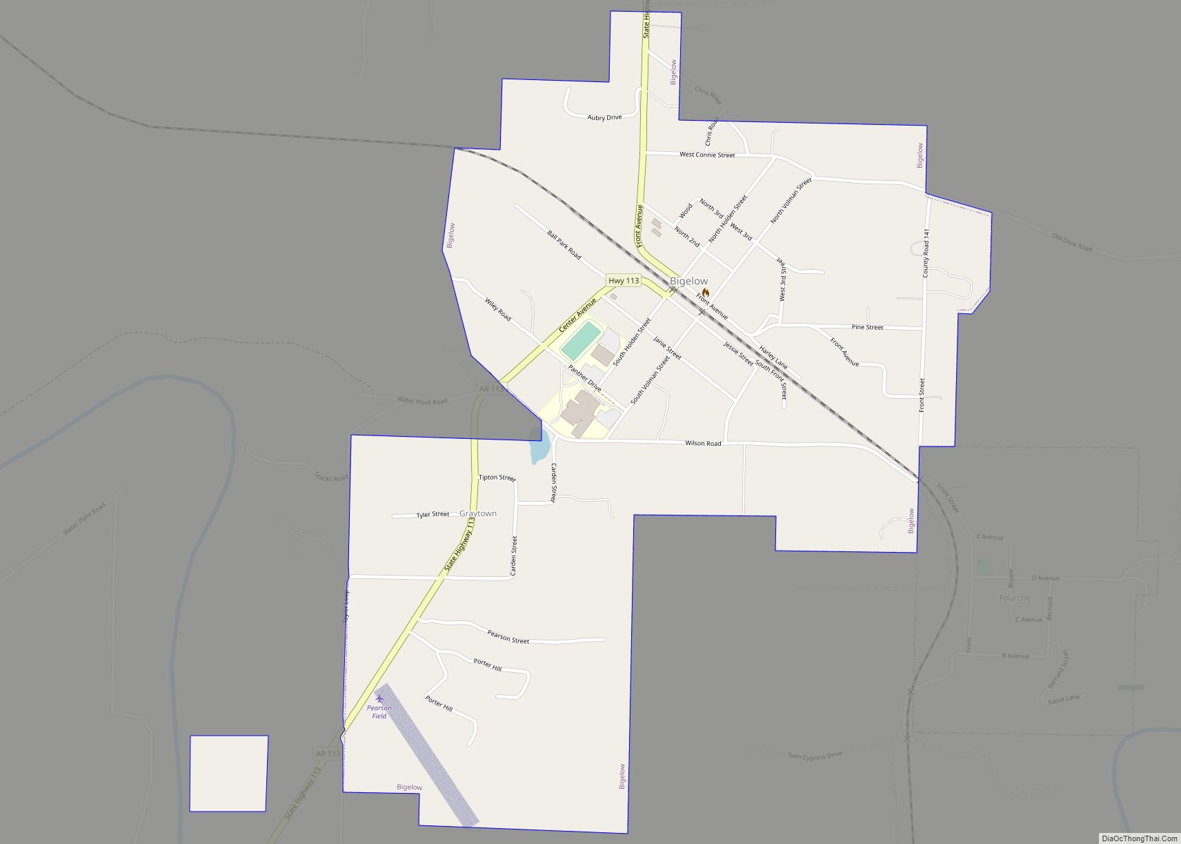
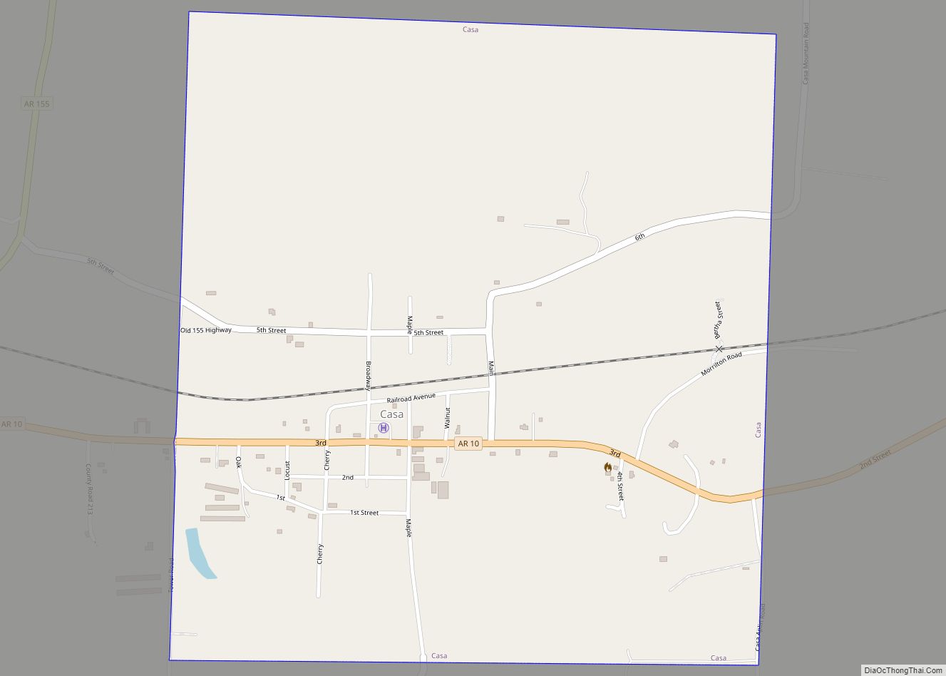
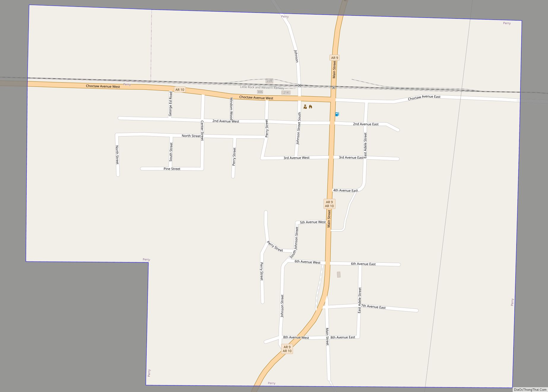
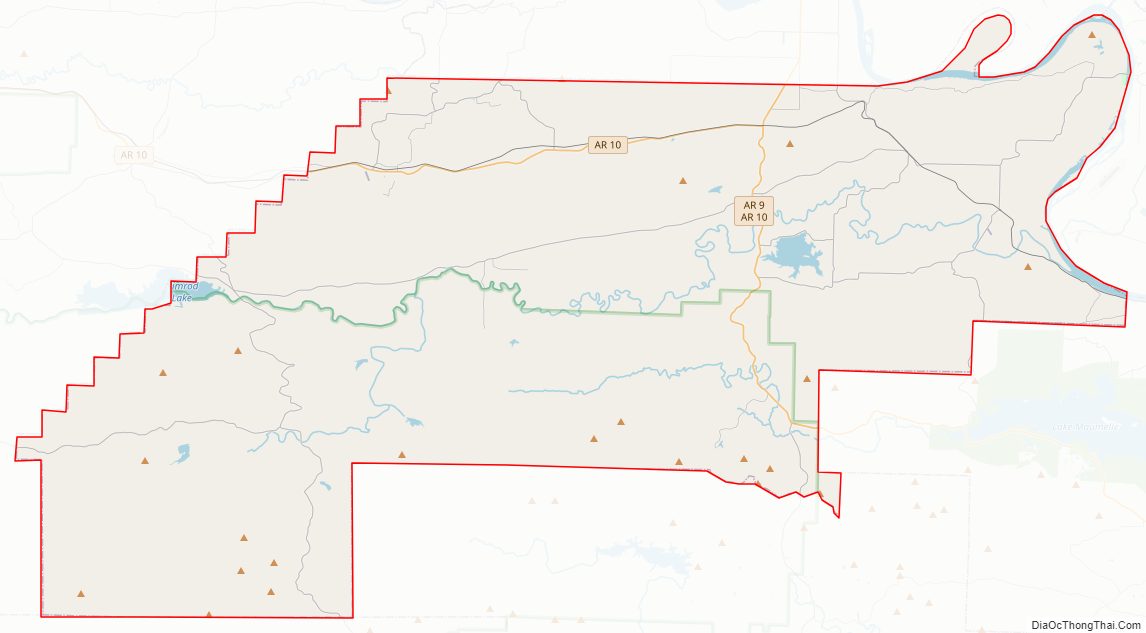
Perry County Road Map
Geography
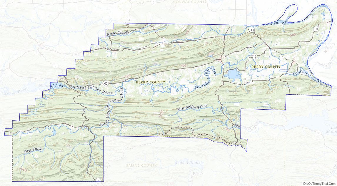
According to the U.S. Census Bureau, the county has a total area of 561 square miles (1,450 km), of which 551 square miles (1,430 km) is land and 9.1 square miles (24 km) (1.6%) is water. It is the fourth-smallest county in Arkansas by land area and third-smallest by total area.
Major highways
- Highway 7
- Highway 9
- Highway 10
- Highway 60
- Highway 113
- Highway 300
Adjacent counties
- Conway County (north)
- Faulkner County (northeast)
- Pulaski County (east)
- Saline County (southeast)
- Garland County (southwest)
- Yell County (west)
National protected area
- Ouachita National Forest (part)
Perry County Topographic Map
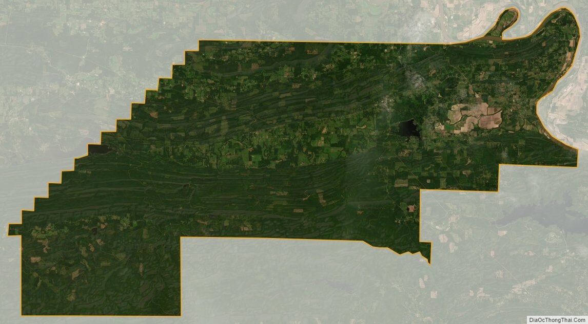
Perry County Satellite Map
Perry County Outline Map