Perryville is a city in and the county seat of Perry County, Arkansas, United States. The population was 1,460 at the 2010 census, an increase of just two persons from 2000. It is part of the Little Rock–North Little Rock–Conway Metropolitan Statistical Area.
| Name: | Perryville city |
|---|---|
| LSAD Code: | 25 |
| LSAD Description: | city (suffix) |
| State: | Arkansas |
| County: | Perry County |
| Elevation: | 325 ft (99 m) |
| Total Area: | 4.27 sq mi (11.05 km²) |
| Land Area: | 4.27 sq mi (11.05 km²) |
| Water Area: | 0.00 sq mi (0.00 km²) |
| Total Population: | 1,373 |
| Population Density: | 321.70/sq mi (124.21/km²) |
| ZIP code: | 72126 |
| Area code: | 501 |
| FIPS code: | 0554710 |
| GNISfeature ID: | 2404506 |
Online Interactive Map
Click on ![]() to view map in "full screen" mode.
to view map in "full screen" mode.
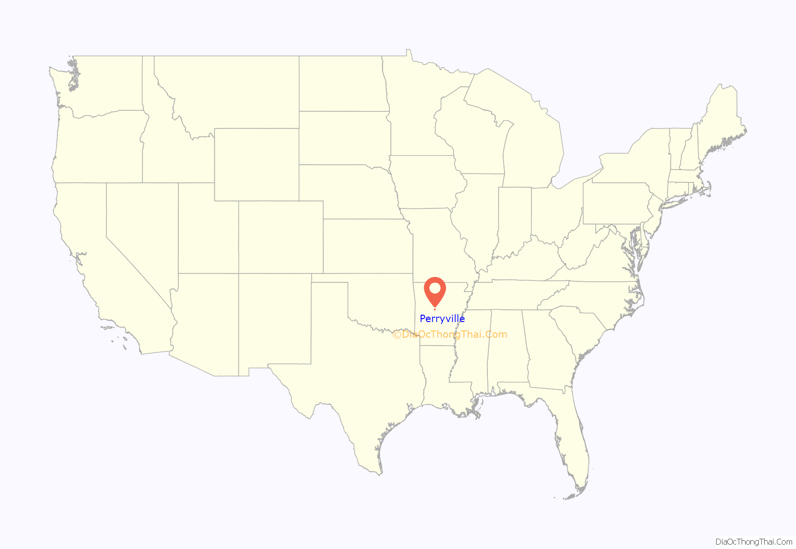
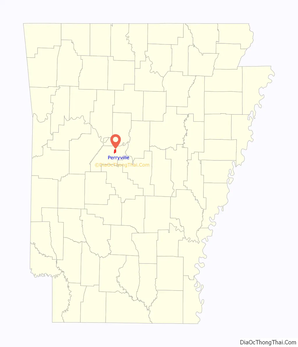
Perryville location map. Where is Perryville city?
History
The first Perry County courthouse was built in Perryville in 1841, a year after Perry County was created, and five years after the state of Arkansas was created. The town was platted sometime before 1850.
John Rison and his new wife, Harriet, moved to Perryville in 1844 and started the community’s first church, a Methodist congregation. Their log home became a community gathering place and is now the oldest building in Perryville. In 1849, Rison bought six lots across from his home to build a log store and a schoolhouse.
The original log courthouse was burned during a dispute between two families. Historians are uncertain when the courthouse was burned — various sources say 1848 or 1850. Another log courthouse was built on the site.
In 1872, a wood-framed courthouse was built a half mile from the older log courthouse on donated land. It burned in May 1874 and was rebuilt. It burned again in December 1881 and was again rebuilt. Perry County’s current courthouse was built in 1888 for $4,000.
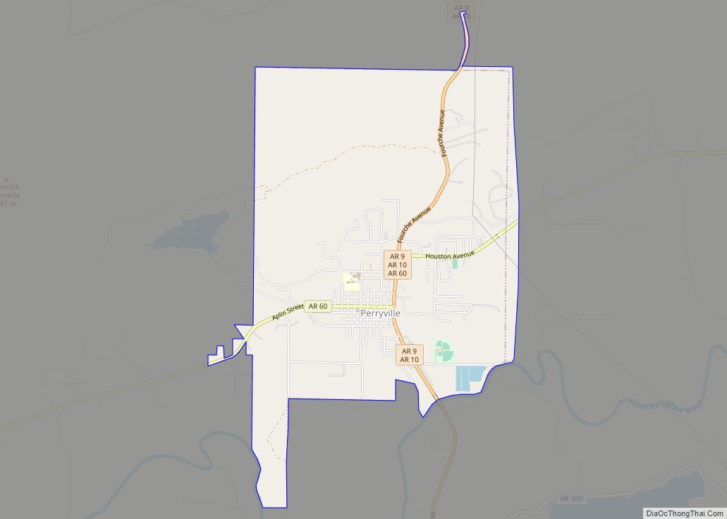
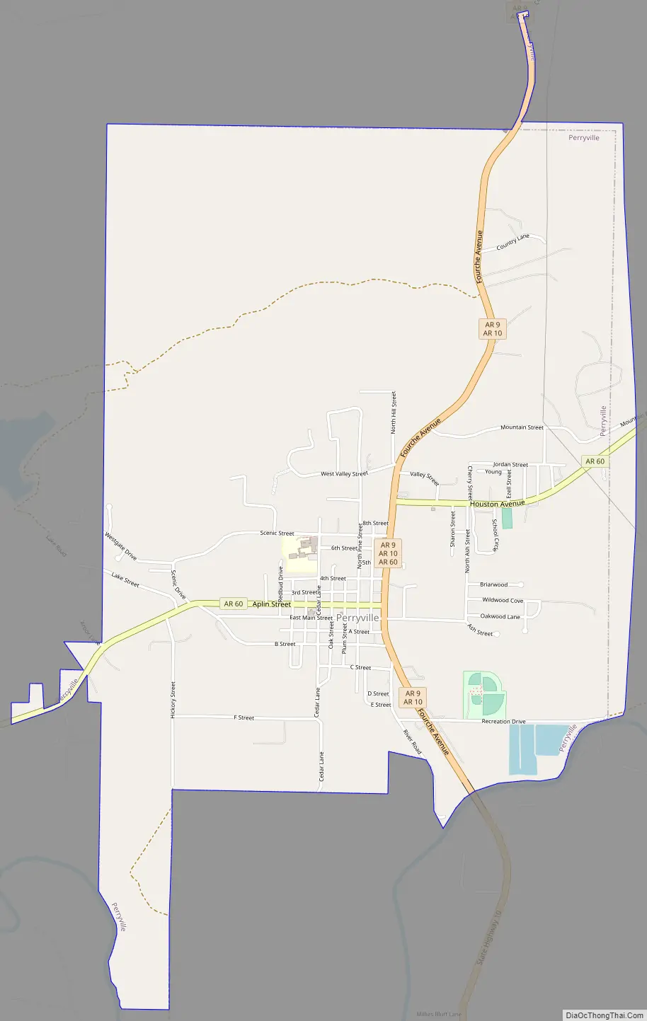
Perryville Road Map
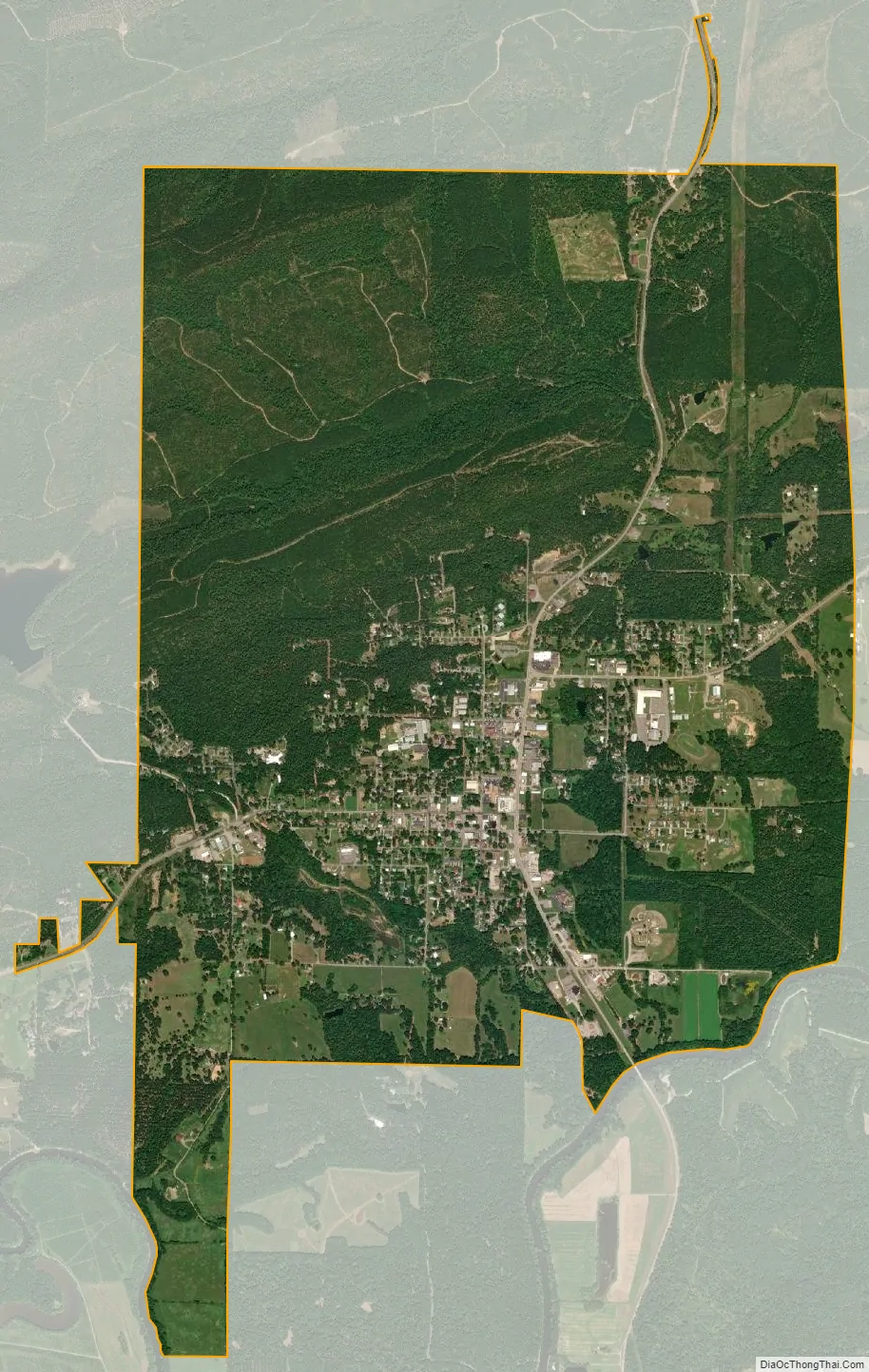
Perryville city Satellite Map
Geography
Perryville is located at 35°0′21″N 92°48′11″W / 35.00583°N 92.80306°W / 35.00583; -92.80306 (35.005800, -92.802949). According to the United States Census Bureau, the city has a total area of 4.8 square miles (12 km), all land.
See also
Map of Arkansas State and its subdivision:- Arkansas
- Ashley
- Baxter
- Benton
- Boone
- Bradley
- Calhoun
- Carroll
- Chicot
- Clark
- Clay
- Cleburne
- Cleveland
- Columbia
- Conway
- Craighead
- Crawford
- Crittenden
- Cross
- Dallas
- Desha
- Drew
- Faulkner
- Franklin
- Fulton
- Garland
- Grant
- Greene
- Hempstead
- Hot Spring
- Howard
- Independence
- Izard
- Jackson
- Jefferson
- Johnson
- Lafayette
- Lawrence
- Lee
- Lincoln
- Little River
- Logan
- Lonoke
- Madison
- Marion
- Miller
- Mississippi
- Monroe
- Montgomery
- Nevada
- Newton
- Ouachita
- Perry
- Phillips
- Pike
- Poinsett
- Polk
- Pope
- Prairie
- Pulaski
- Randolph
- Saint Francis
- Saline
- Scott
- Searcy
- Sebastian
- Sevier
- Sharp
- Stone
- Union
- Van Buren
- Washington
- White
- Woodruff
- Yell
- Alabama
- Alaska
- Arizona
- Arkansas
- California
- Colorado
- Connecticut
- Delaware
- District of Columbia
- Florida
- Georgia
- Hawaii
- Idaho
- Illinois
- Indiana
- Iowa
- Kansas
- Kentucky
- Louisiana
- Maine
- Maryland
- Massachusetts
- Michigan
- Minnesota
- Mississippi
- Missouri
- Montana
- Nebraska
- Nevada
- New Hampshire
- New Jersey
- New Mexico
- New York
- North Carolina
- North Dakota
- Ohio
- Oklahoma
- Oregon
- Pennsylvania
- Rhode Island
- South Carolina
- South Dakota
- Tennessee
- Texas
- Utah
- Vermont
- Virginia
- Washington
- West Virginia
- Wisconsin
- Wyoming