Hazard is a home rule-class city in, and the county seat of, Perry County, Kentucky, United States. The population was 5,263 at the 2020 Census.
| Name: | Hazard city |
|---|---|
| LSAD Code: | 25 |
| LSAD Description: | city (suffix) |
| State: | Kentucky |
| County: | Perry County |
| Incorporated: | April 30, 1884 |
| Elevation: | 928 ft (283 m) |
| Total Area: | 7.60 sq mi (19.68 km²) |
| Land Area: | 7.45 sq mi (19.30 km²) |
| Water Area: | 0.15 sq mi (0.38 km²) 0% |
| Total Population: | 5,263 |
| Population Density: | 706.44/sq mi (272.76/km²) |
| Area code: | 606 |
| FIPS code: | 2135362 |
| GNISfeature ID: | 0512617 |
| Website: | www.hazardky.gov |
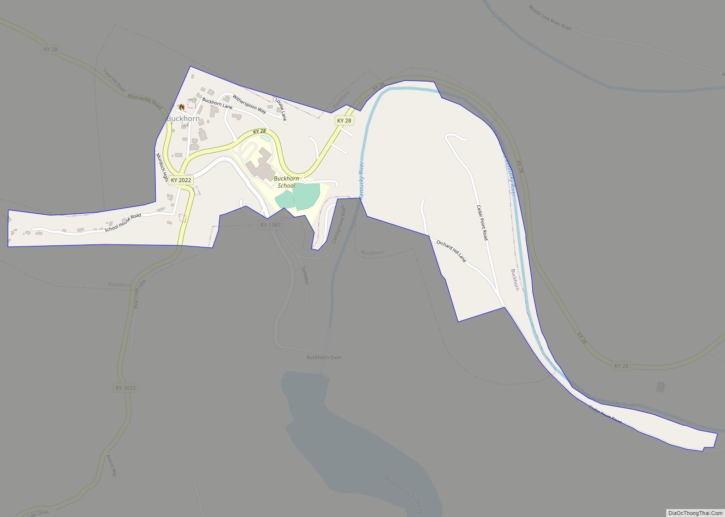
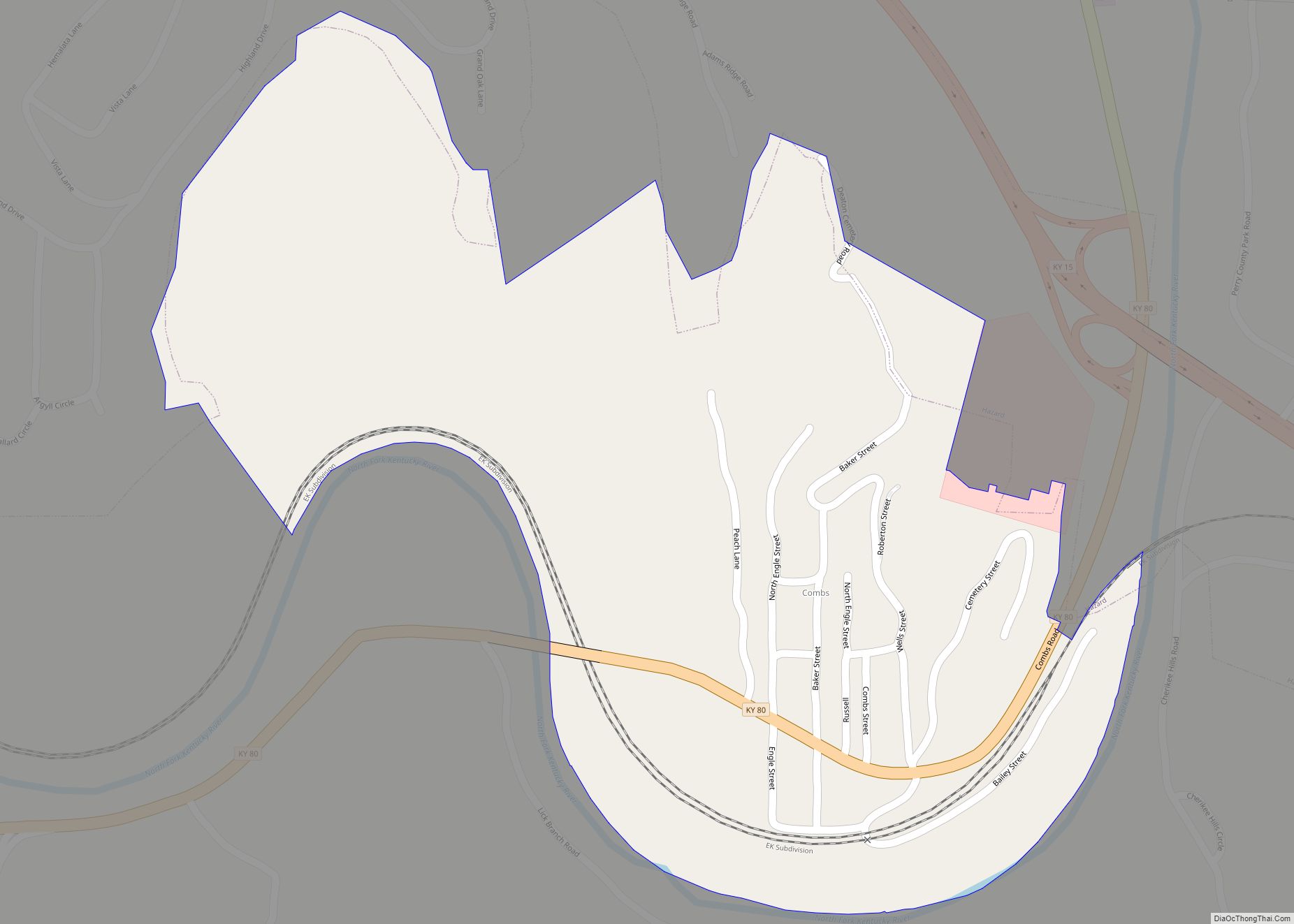
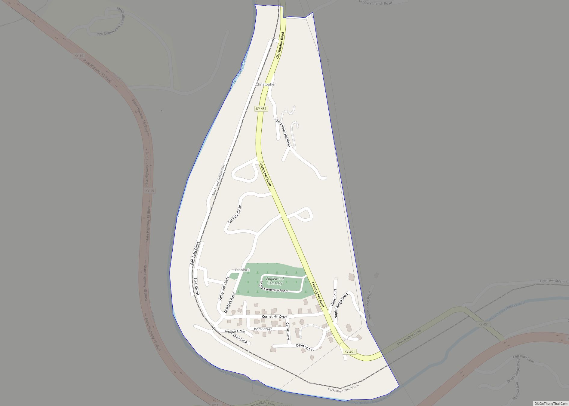
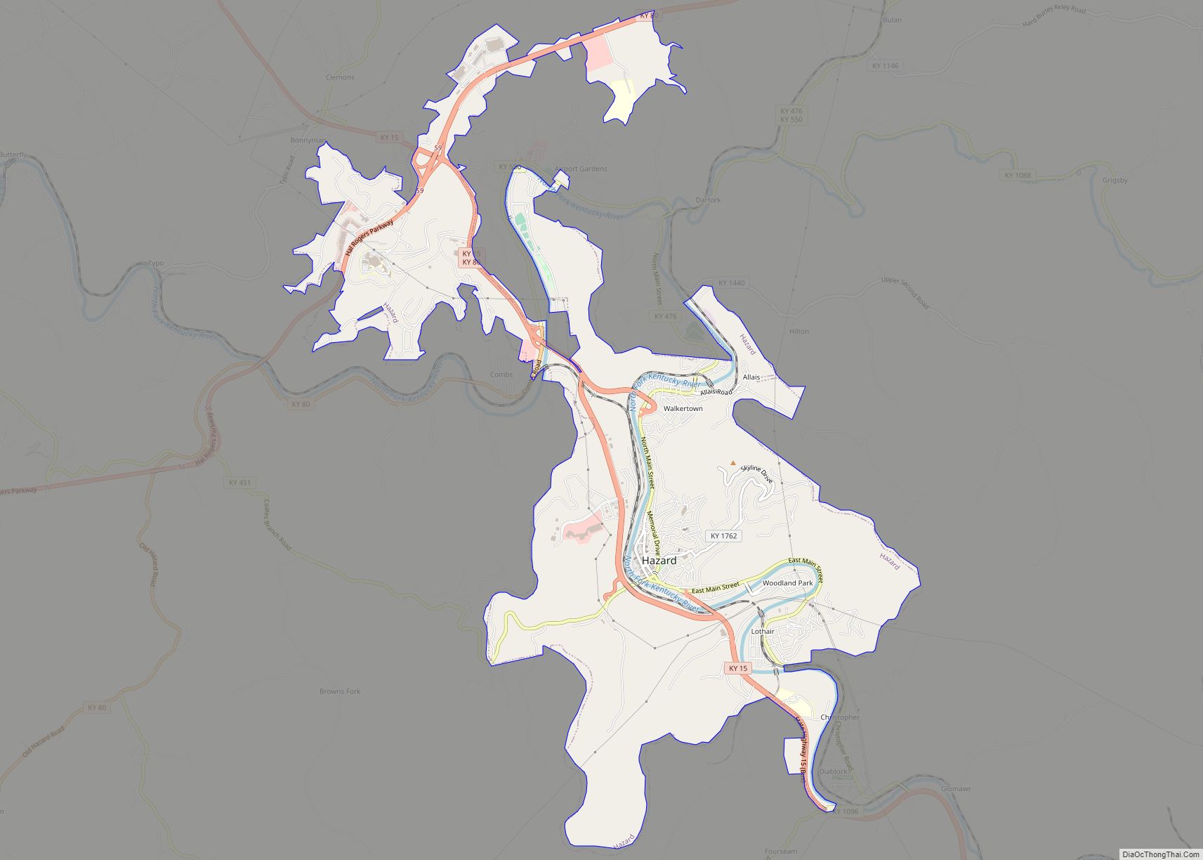
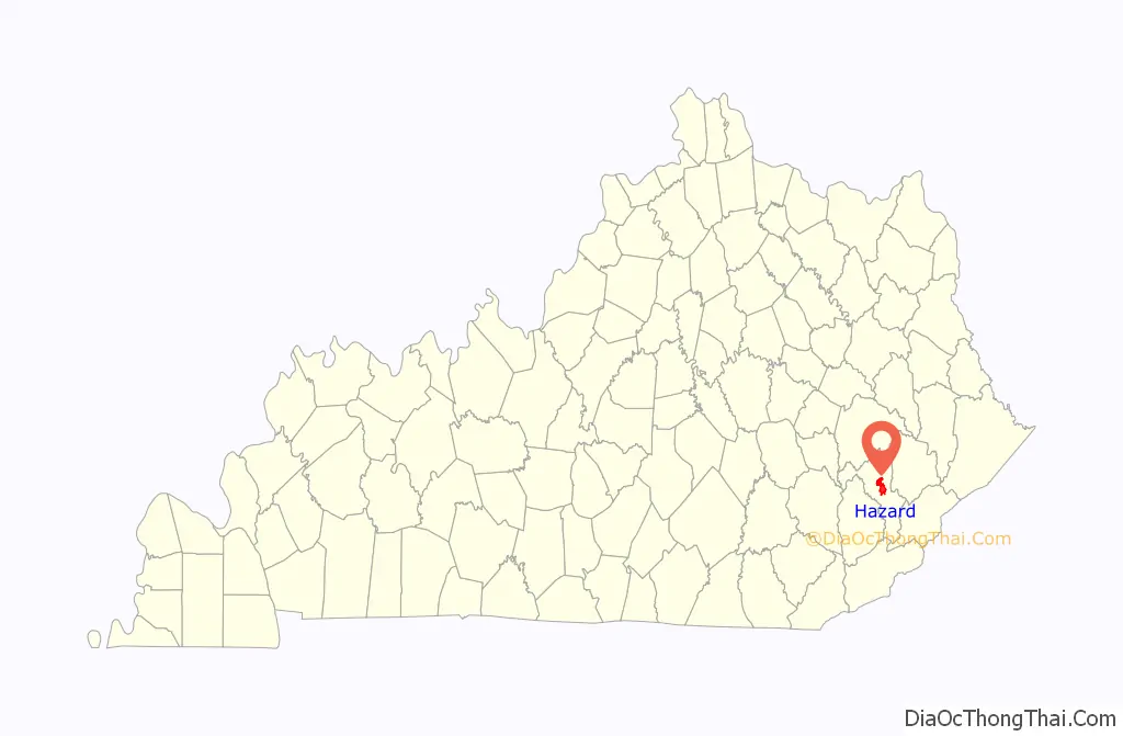
Online Interactive Map
Click on ![]() to view map in "full screen" mode.
to view map in "full screen" mode.
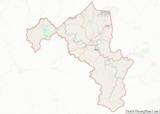
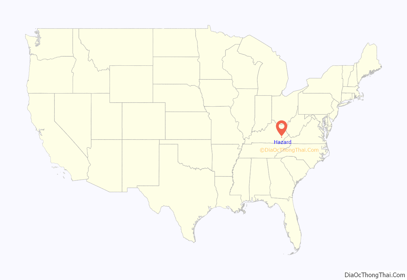
Hazard location map. Where is Hazard city?
History
Local landowner Elijah Combs Sr. laid out the town in 1824 as the planned seat of the newly established Perry County. Both the town and the county were named for Cdre. Oliver Hazard Perry, a commander in the 1813 Battle of Lake Erie in the War of 1812. The post office was initially known as Perry Court House but the name was officially changed to Hazard in 1854. The city was formally incorporated by the state assembly in 1884.
Long isolated by the surrounding mountains, Hazard was opened to the outside world by the arrival of the railroad in 1912. The only access to the valley had previously been 45 miles down the North Fork of the Kentucky River or a two-week trip over the surrounding mountains. The railroad brought boom times to the town, but the Great Depression saw prosperity end as quickly as it had begun.
The song “High Sheriff of Hazard” was written by Tom Paxton in reference to a coal miner’s strike in 1964.
In 1981, several cast members of the television series The Dukes of Hazzard, including Catherine Bach, James Best, Sorrell Booke and Rick Hurst, visited Hazard during its Black Gold Festival. Soon afterwards, the series’ stars Tom Wopat and John Schneider made appearances in Hazard.
After several decades of population decline, the city has seen a rapid increase of new residents as the growth rate approached 20% between 2010 and 2020. In July 1999, Hazard was the first stop on President Bill Clinton’s tour of poverty-stricken communities that had failed to share in the boom of the 1990s. Hillary Clinton visited Hazard on November 2, 2008, at a political rally for Democratic U.S. Senate candidate Bruce Lunsford.
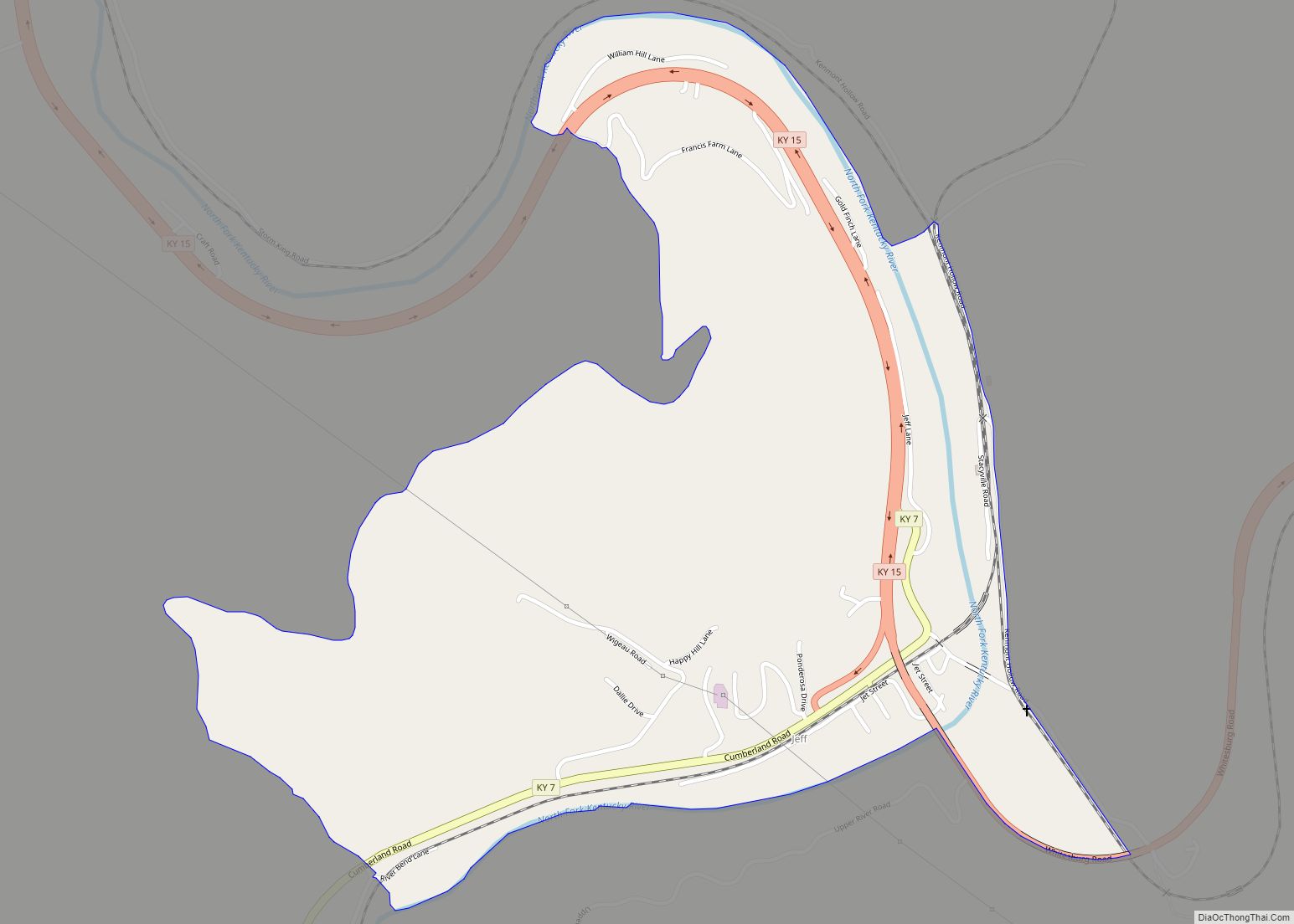
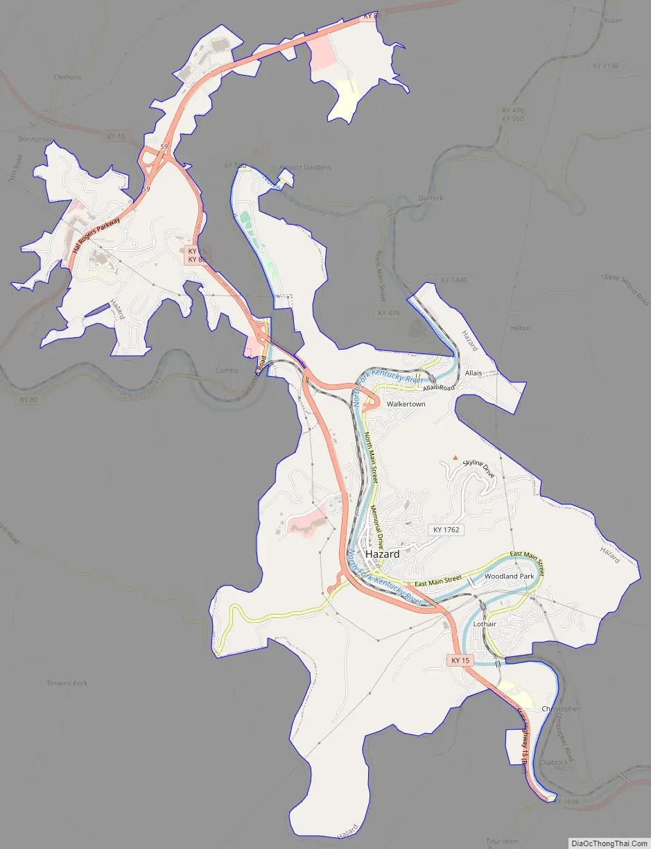
Hazard Road Map
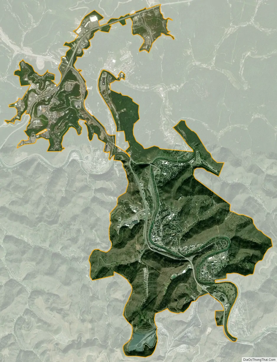
Hazard city Satellite Map
Geography
Hazard is located at 37°15′21″N 83°11′37″W / 37.25583°N 83.19361°W / 37.25583; -83.19361 (37.255910, −83.193706).
According to the United States Census Bureau, the city has a total area of 7.0 square miles (18 km), all land.
See also
Map of Kentucky State and its subdivision:- Adair
- Allen
- Anderson
- Ballard
- Barren
- Bath
- Bell
- Boone
- Bourbon
- Boyd
- Boyle
- Bracken
- Breathitt
- Breckinridge
- Bullitt
- Butler
- Caldwell
- Calloway
- Campbell
- Carlisle
- Carroll
- Carter
- Casey
- Christian
- Clark
- Clay
- Clinton
- Crittenden
- Cumberland
- Daviess
- Edmonson
- Elliott
- Estill
- Fayette
- Fleming
- Floyd
- Franklin
- Fulton
- Gallatin
- Garrard
- Grant
- Graves
- Grayson
- Green
- Greenup
- Hancock
- Hardin
- Harlan
- Harrison
- Hart
- Henderson
- Henry
- Hickman
- Hopkins
- Jackson
- Jefferson
- Jessamine
- Johnson
- Kenton
- Knott
- Knox
- Larue
- Laurel
- Lawrence
- Lee
- Leslie
- Letcher
- Lewis
- Lincoln
- Livingston
- Logan
- Lyon
- Madison
- Magoffin
- Marion
- Marshall
- Martin
- Mason
- McCracken
- McCreary
- McLean
- Meade
- Menifee
- Mercer
- Metcalfe
- Monroe
- Montgomery
- Morgan
- Muhlenberg
- Nelson
- Nicholas
- Ohio
- Oldham
- Owen
- Owsley
- Pendleton
- Perry
- Pike
- Powell
- Pulaski
- Robertson
- Rockcastle
- Rowan
- Russell
- Scott
- Shelby
- Simpson
- Spencer
- Taylor
- Todd
- Trigg
- Trimble
- Union
- Warren
- Washington
- Wayne
- Webster
- Whitley
- Wolfe
- Woodford
- Alabama
- Alaska
- Arizona
- Arkansas
- California
- Colorado
- Connecticut
- Delaware
- District of Columbia
- Florida
- Georgia
- Hawaii
- Idaho
- Illinois
- Indiana
- Iowa
- Kansas
- Kentucky
- Louisiana
- Maine
- Maryland
- Massachusetts
- Michigan
- Minnesota
- Mississippi
- Missouri
- Montana
- Nebraska
- Nevada
- New Hampshire
- New Jersey
- New Mexico
- New York
- North Carolina
- North Dakota
- Ohio
- Oklahoma
- Oregon
- Pennsylvania
- Rhode Island
- South Carolina
- South Dakota
- Tennessee
- Texas
- Utah
- Vermont
- Virginia
- Washington
- West Virginia
- Wisconsin
- Wyoming