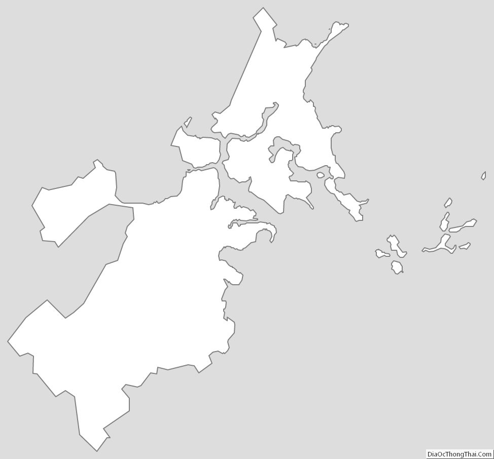
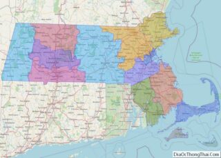
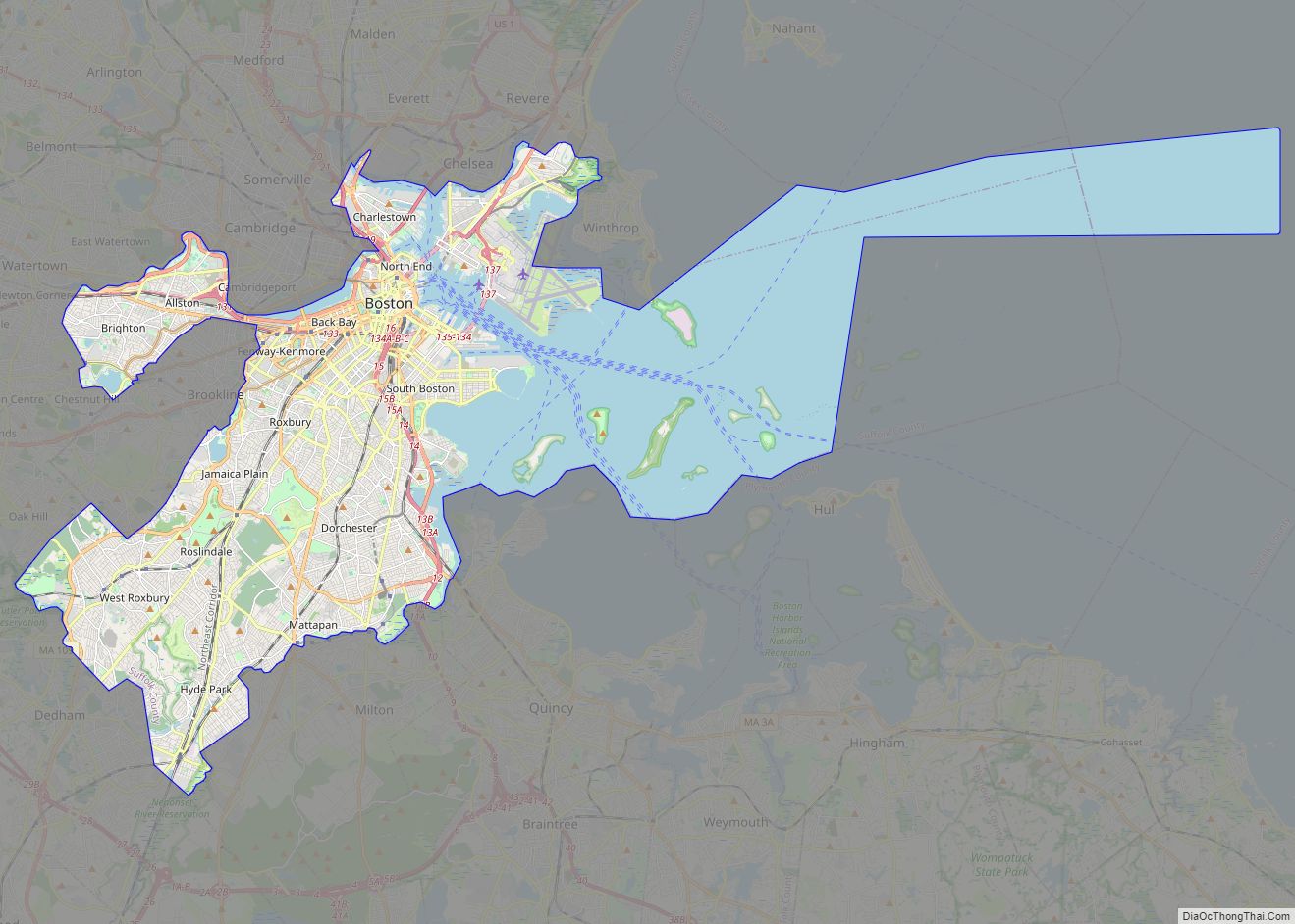
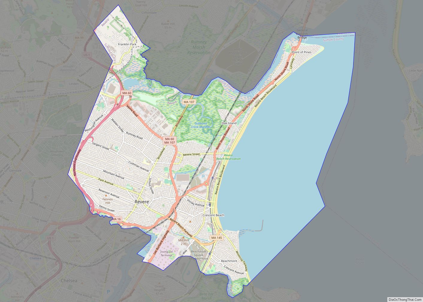
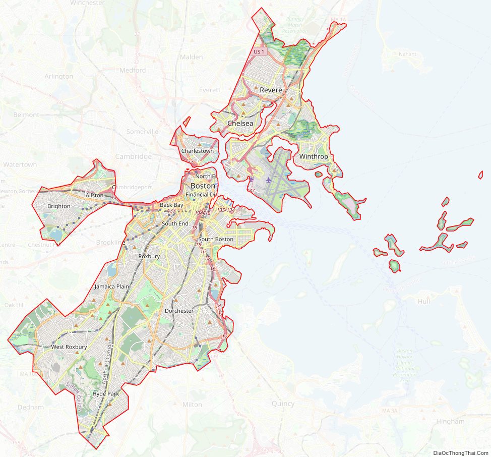
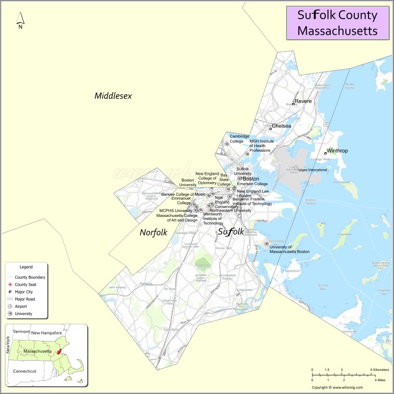
Suffolk County is located in the Commonwealth of Massachusetts, in the United States. As of the 2020 census, the population was 797,936, making it the fourth-most populous county in Massachusetts. The county comprises the cities of Boston, Chelsea, Revere, and Winthrop. The traditional county seat is Boston, the state capital and the largest city in Massachusetts. The county government was abolished in 1999, and so Suffolk County today functions only as an administrative subdivision of state government and a set of communities grouped together for some statistical purposes. Suffolk County is located at the core of the Boston-Cambridge–Newton, MA-NH Metropolitan Statistical Area as well as the greater Boston-Worcester-Providence, MA-RI–NH–CT Combined Statistical Area.
| Name: | Suffolk County |
|---|---|
| FIPS code: | 25-025 |
| State: | Massachusetts |
| Founded: | May 10, 1643 |
| Named for: | Suffolk |
| Seat: | Boston |
| Largest city: | Boston |
| Total Area: | 120 sq mi (300 km²) |
| Land Area: | 58.15 sq mi (150.6 km²) |
| Total Population: | 797,936 |
| Population Density: | 13,698/sq mi (5,289/km²) |
| Time zone: | UTC−5 (Eastern) |
| Summer Time Zone (DST): | UTC−4 (EDT) |
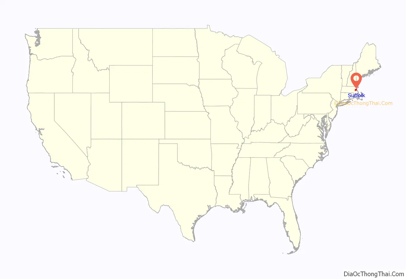
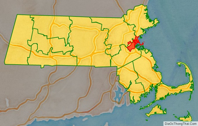
Suffolk County location map. Where is Suffolk County?
History
The county was created by the Massachusetts General Court on May 10, 1643, when it was ordered “that the whole plantation within this jurisdiction be divided into four shires”. Suffolk initially contained Boston, Roxbury, Dorchester, Dedham, Braintree, Weymouth, and Hingham. The county was named after Suffolk, England, which means “southern folk.”
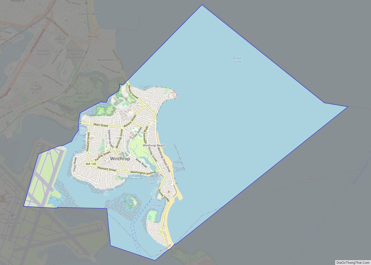
In 1731, the extreme western portions of Suffolk County, which included Mendon and Uxbridge, were split off to become part of Worcester County. In 1793, most of the original Suffolk County (including Milton) except for Boston, Chelsea, Hingham, and Hull (which remained in Suffolk) split off and became Norfolk County. Hingham and Hull would leave Suffolk County and join Plymouth County in 1803. Revere was set off from Chelsea and incorporated in 1846 and Winthrop was set off from Revere and incorporated in 1852. In the late 19th century and early 20th century, Boston annexed several adjacent cities and towns including Hyde Park, Roxbury, West Roxbury, and Dorchester from Norfolk County and Charlestown and Brighton from Middlesex County, resulting in an enlargement of Suffolk County.
Suffolk County Road Map
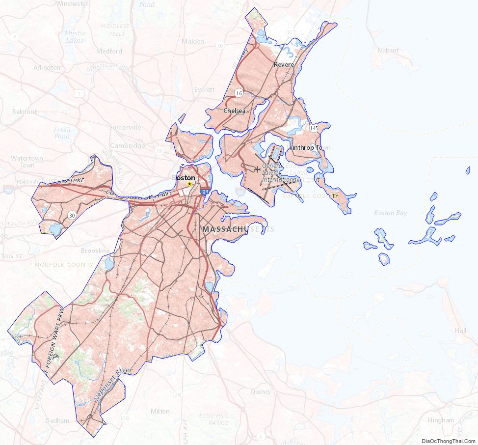
Geography
According to the U.S. Census Bureau, the county has a total area of 120 square miles (310 km), of which 58 square miles (150 km) is land and 62 square miles (160 km) (52%) is water. It is the second-smallest county in Massachusetts by land area and smallest by total area.
Adjacent counties
- Essex County (north)
- Norfolk County (south)
- Middlesex County (west)
Suffolk County has no land border with Plymouth County to its southeast, but the two counties share a water boundary in the middle of Massachusetts Bay.
National protected areas
- Boston African American National Historic Site
- Boston Harbor Islands National Recreation Area (part)
- Boston National Historical Park
Major highways
- I-90 / Mass Pike
- I-93
- US 1
- US 20
- Route 1A
- Route 9
- Route 16
- Route 28
- Route 30
- Route 60
- Route 99
- Route 107
- Route 145
- Route 203
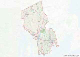
Suffolk County Topographic Map
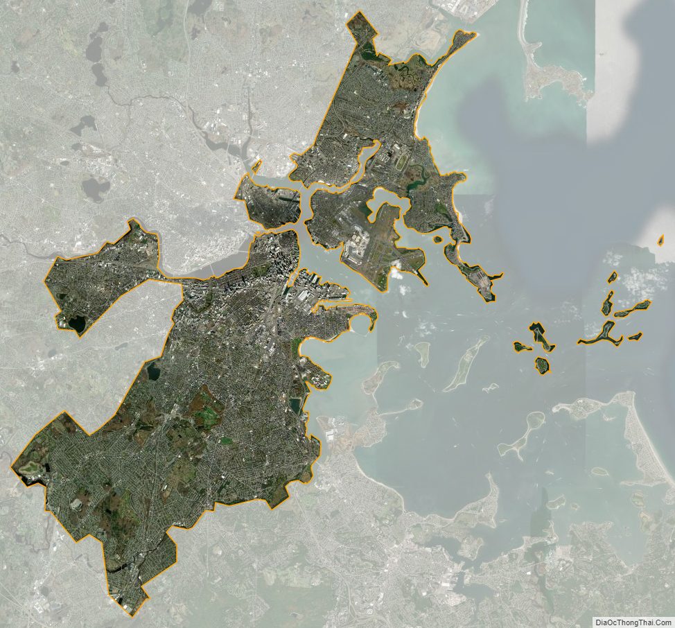
Suffolk County Satellite Map
Suffolk County Outline Map