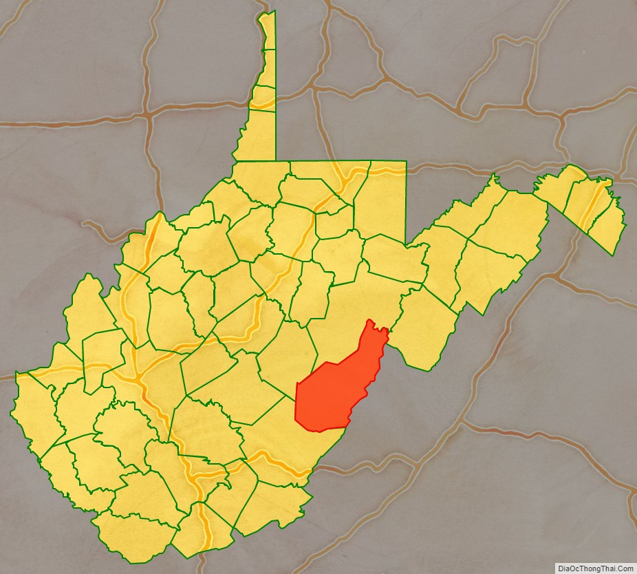
Pocahontas County is a county located in the eastern part of the U.S. state of West Virginia. As of the 2020 census, the population was 7,869. Its county seat is Marlinton. The county was established in 1821. It is named after the daughter of the Powhatan chief of the Native Americans in the United States who came from Jamestown, Virginia. She married an English settler, and their children became ancestors of many of the First Families of Virginia.
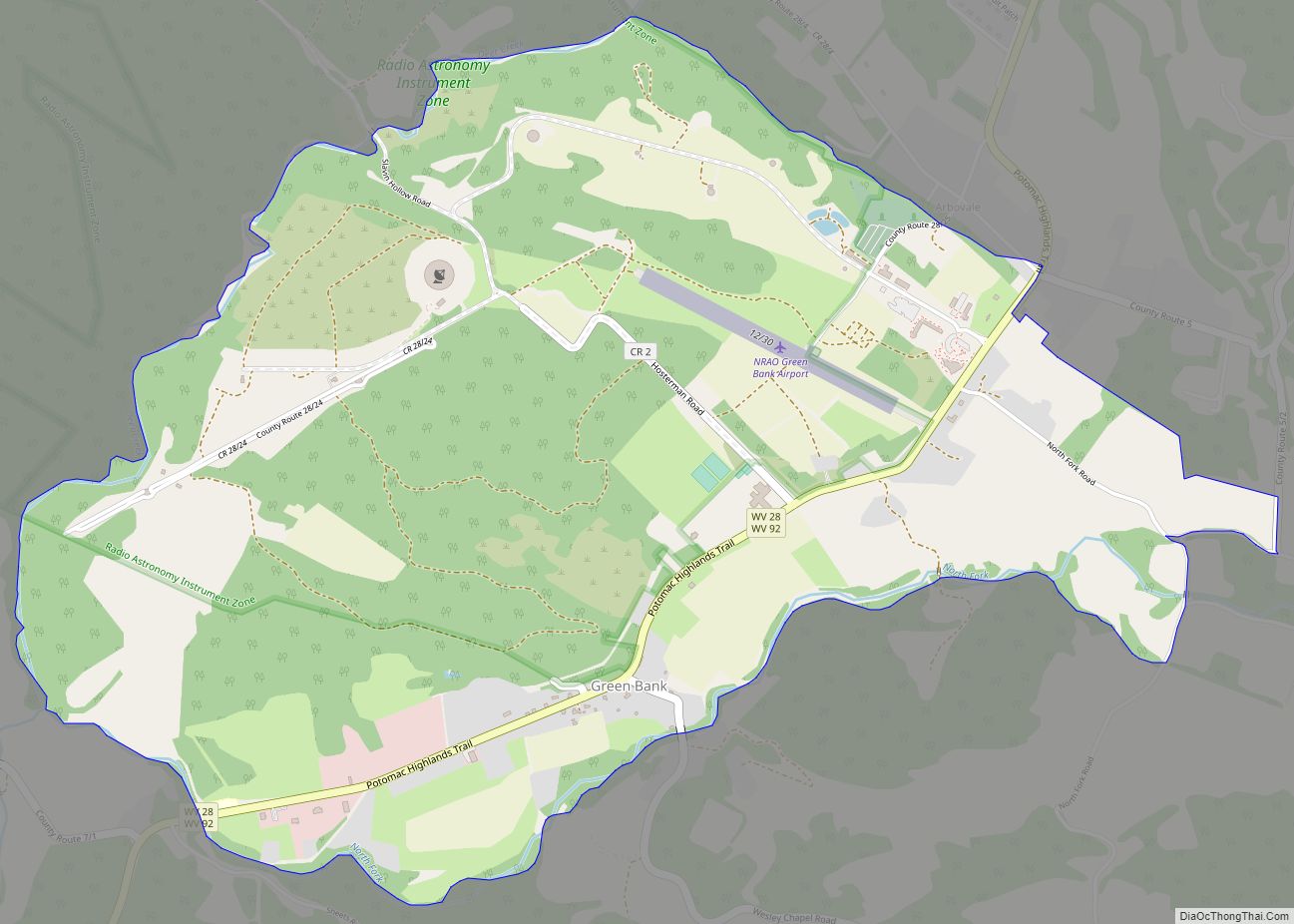
Pocahontas County is the home to the Green Bank Observatory and is part of the National Radio Quiet Zone.
| Name: | Pocahontas County |
|---|---|
| FIPS code: | 54-075 |
| State: | West Virginia |
| Founded: | December 21, 1821 |
| Named for: | Pocahontas |
| Seat: | Marlinton |
| Largest town: | Marlinton |
| Total Area: | 942 sq mi (2,440 km²) |
| Land Area: | 940 sq mi (2,400 km²) |
| Total Population: | 7,869 |
| Population Density: | 8.4/sq mi (3.2/km²) |
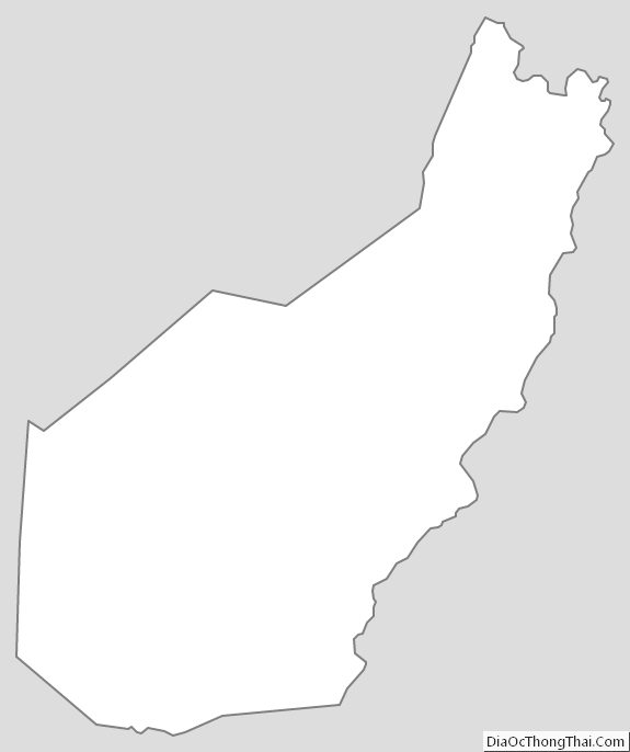
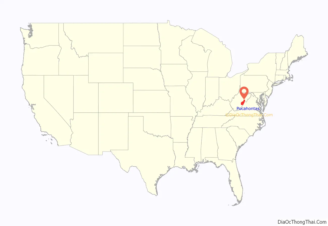
Pocahontas County location map. Where is Pocahontas County?
History
When Andrew Lewis, early American pioneer, surveyor, and soldier from Virginia, came to survey one of the land grants for the Greenbrier Company in 1751, he found Jacob Marlin and Stephen Sewell living where Marlinton later developed. They had come from Frederick, Maryland, in 1749 and are considered to be the first European settlers in this region of Virginia. They built their original cabin where Marlin Run met Knapp’s Creek. Lewis had found Sewell living in a large hollow sycamore tree near the cabin. This area is now between Eighth and Ninth avenues and Eighth and Ninth streets of Marlinton.
This area was reserved by the nations of the Iroquois Confederacy as a hunting ground, by right of their conquest of tribes that had been in the area. The American Indians resisted Europeans moving into the area. A treaty of 1758 by Great Britain confirmed the land west of the Allegheny Mountains to the Indians and forbade his Majesty’s subjects from settling or hunting here.
But the white settlers continued to encroach onto the Indian land, sparking many raids and massacres between the groups. After the Revolution, the Indian squabbles quieted and the settlers’ land claims were secured in an orderly manner.
During the Civil War Pocahontas County voted to secede from the United States by a vote of 360 to 13 and supported the state government in Richmond. The county contained 907 men of military age (15-50 years old) and provided nearly 700 men to the Confederate army and levied $15,000 for armaments. Farming and harvesting crops soon became difficult due to enlistments, and many of the county’s 252 enslaved population fled during Union troop movements through the county. Some Unionist refugees who had fled to Upshur County enlisted in the 10th West Virginia Infantry Regiment. The battles of Cheat Mountain and Camp Allegheny took place in the county in 1861, and in 1863 the battle of Droop Mountain occurred, resulting in a Union victory.
A government loyal to the United States was established in Wheeling called the Restored Government of Virginia. Under its guidance a bill was introduced to the United States Congress to create a new state from 48 counties of western Virginia to be called West Virginia. While many of these counties were generally loyal to the U.S., many were not but were taken for territorial reasons. The new state was officially recognized on June 20, 1863.
Pocahontas County was added to the new state of West Virginia without the input of the citizens. The new state government in Wheeling reorganized the county militia as a Unionist force. After the war most of the voters in the county were disfranchised due to their support of Richmond and the Confederacy, and full voting rights were not restored until 1871.
The new state government divided the counties into civil townships, with the intention of encouraging local government. This proved impractical in the heavily rural state, and in 1872 the townships were converted into magisterial districts. Pocahontas County was initially divided into four townships, each of which was given a patriotic name: Grant, Lincoln, Meade, and Union. They became magisterial districts in 1872, and all four were renamed the following year: Grant District, originally named for Union General Ulysses S. Grant, became Huntersville District; Lincoln, named after the President, became Edray; Meade, named for General George Meade, became Greenbank, and Union District became Academy. In the 1890s, Academy District was renamed again, becoming Little Levels.
The railroads came late to Pocahontas County, as building rails over the mountains was a difficult and expensive project. It was not until 1899 that construction began but after that, the task moved with startling speed. The 1900 census of the county indicates that many European immigrants came to the region as workers on building the railroads through this area.
Commercial timbering quickly began upon completion of the railroads, including a large mill owned by the West Virginia Pulp & Paper Company (now MeadWestvaco) at Cass. By the end of 1920, dozens of small railroading towns dotted the landscape along the Chesapeake & Ohio Railway line.
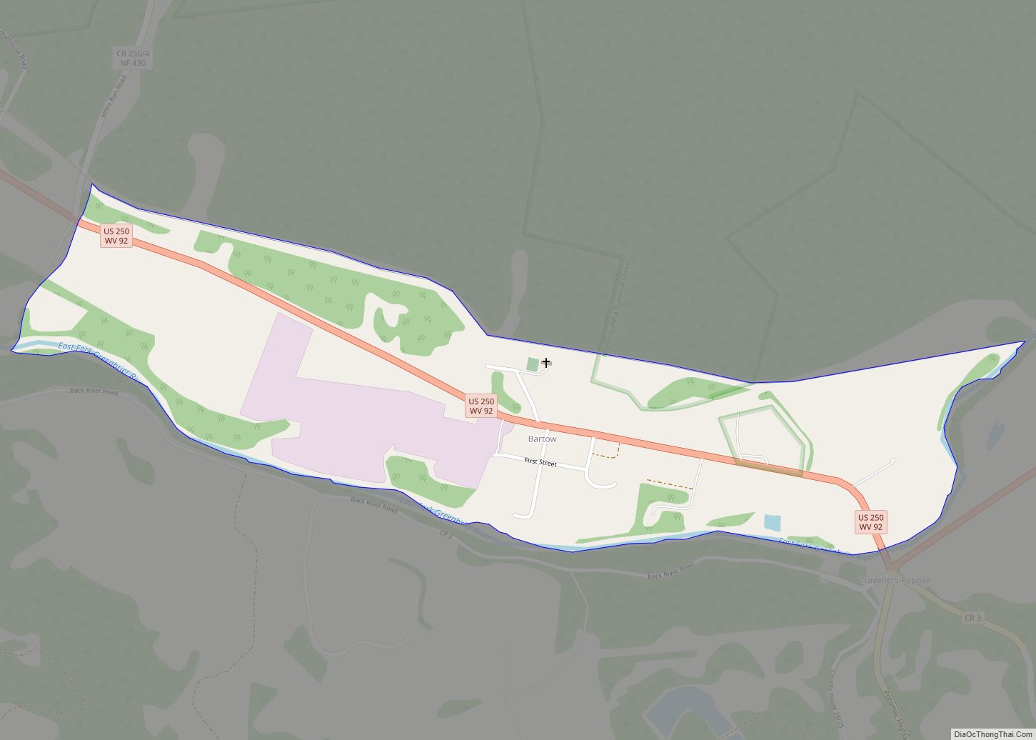
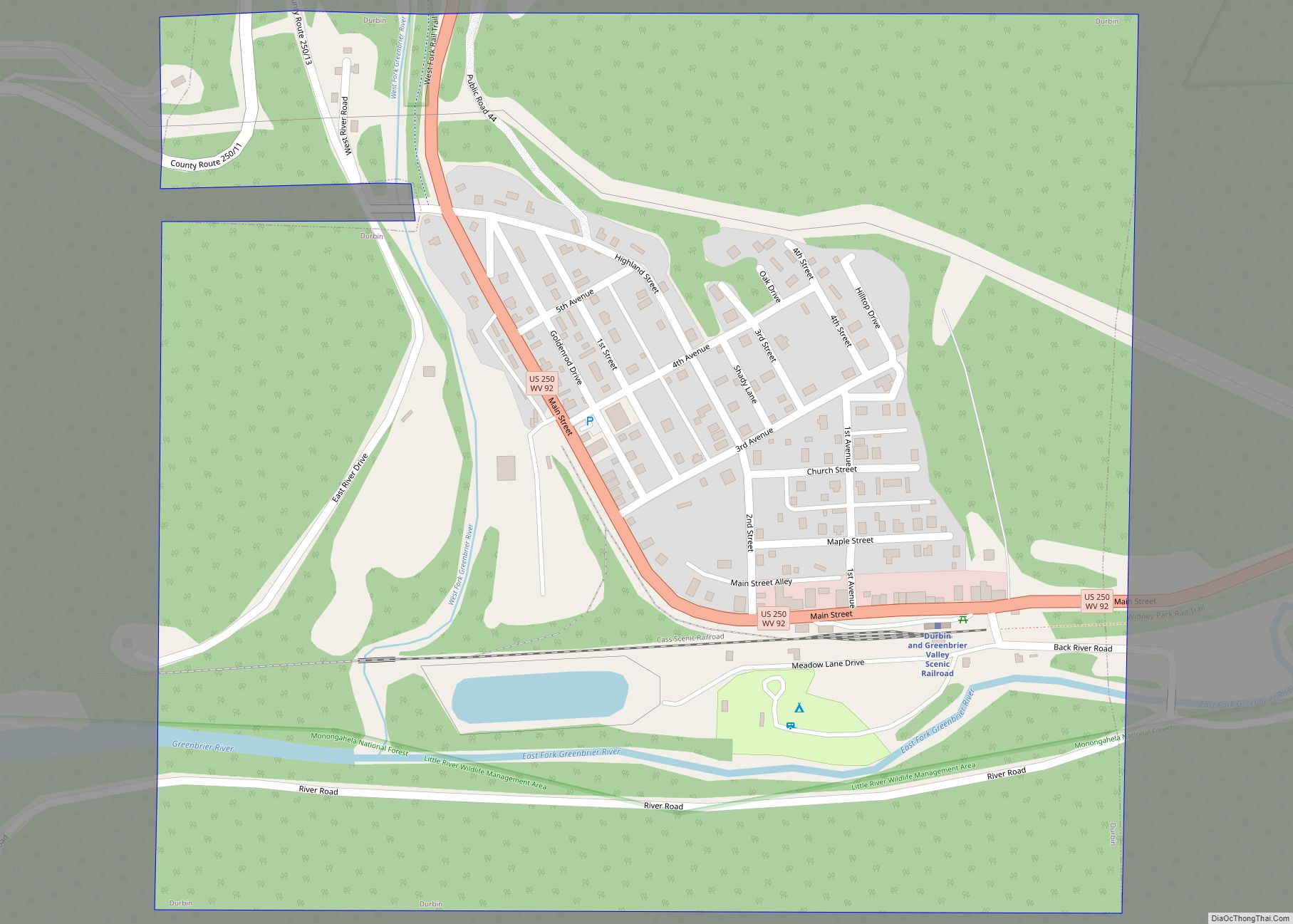
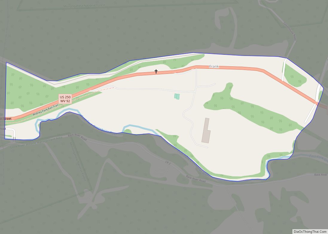
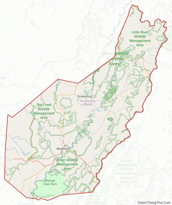
Pocahontas County Road Map
Geography
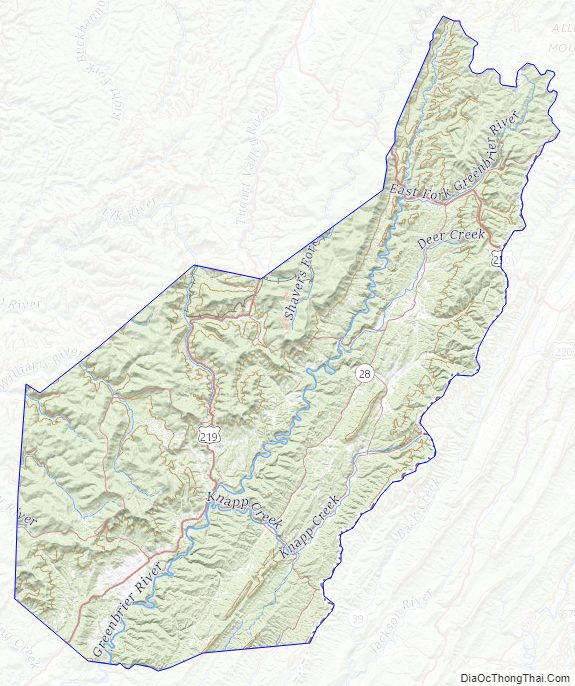
According to the United States Census Bureau, the county has a total area of 942 square miles (2,440 km), of which 940 square miles (2,400 km) is land and 1.5 square miles (3.9 km) (0.2%) is water. It is the third-largest county in West Virginia by area, and with a mean altitude of 3,219 feet or 981 metres it is the sixth-highest county east of the Mississippi River and the highest county in this region outside Western North Carolina.
The highest point is Thorny Flat on Cheat Mountain in the northwestern part of the county, elevation 4,848 feet (1,478 m).
Birthplace of rivers
The county is the site of the headwaters for eight rivers: Cherry River, Cranberry River, Elk River, Gauley River, Greenbrier River, Tygart Valley River, Williams River, and Shavers Fork of the Cheat River. The Monongahela National Forest protects much of the river headwaters, thereby helping to ensure improved downstream water quality.
Major highways
- U.S. Highway 219
- U.S. Highway 250
- West Virginia Route 28
- West Virginia Route 39
- West Virginia Route 55
- West Virginia Route 66
- West Virginia Route 84
- West Virginia Route 92
National protected areas
- Monongahela National Forest (part)
- Cranberry Glades Botanical Area
- Gaudineer Scenic Area
Pocahontas County Topographic Map
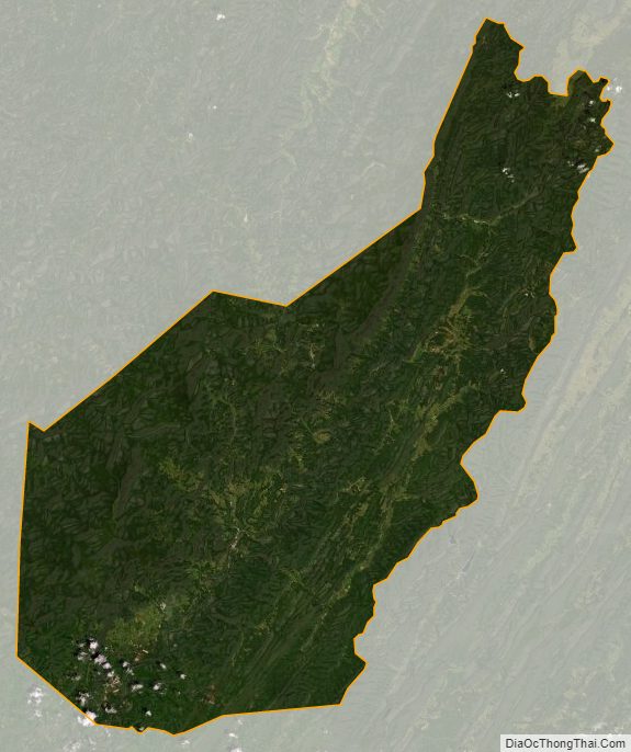
Pocahontas County Satellite Map
Pocahontas County Outline Map