Wheeling is a city in the U.S. state of West Virginia. Located almost entirely in Ohio County, of which it is the county seat, it lies along the Ohio River in the foothills of the Appalachian Mountains and also contains a tiny portion extending into Marshall County. Wheeling is located about 60 miles (96 km) west of Pittsburgh and is the principal city of the Wheeling metropolitan area. As of the 2020 census, the city had a population of 27,062, and the metro area had a population of 139,513. It is the fifth-largest city in West Virginia, and the largest in the state’s Northern Panhandle.
Wheeling was originally a settlement in the British colony of Virginia, and later the second-largest city in the Commonwealth of Virginia. During the American Civil War, Wheeling was the host of the Wheeling Conventions that led to the formation of West Virginia, and it was the first capital of the new state. Due to its location along major transportation routes, including the Ohio River, National Road, and the B&O Railroad, Wheeling became a manufacturing center in the late nineteenth century. After the closing of factories and substantial population loss following World War II, Wheeling’s major industries now include healthcare, education, law and legal services, entertainment and tourism, and energy.
From the acceptance of the new state of West Virginia into the union on June 20, 1863, until the Restored Government of Virginia’s move to Alexandria in August of the same year, Wheeling was the state capital of both West Virginia and Virginia.
| Name: | Wheeling city |
|---|---|
| LSAD Code: | 25 |
| LSAD Description: | city (suffix) |
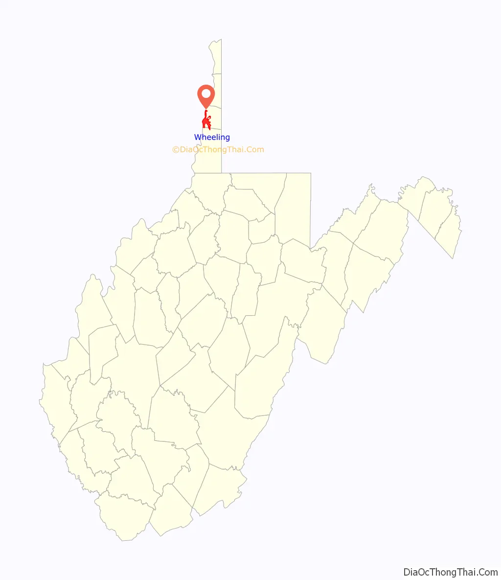
| State: | West Virginia |
| County: | Marshall County, Ohio County |
| Incorporated: | 1836 |
| Elevation: | 687–1,300 ft (209–396 m) |
| Land Area: | 13.78 sq mi (35.68 km²) |
| Water Area: | 2.22 sq mi (5.76 km²) 13.87% |
| Population Density: | 1,700/sq mi (650/km²) |
| ZIP code: | 26003 |
| Area code: | 304 |
| FIPS code: | 5486452 |
| GNISfeature ID: | 1548994 |
| Website: | www.wheelingwv.gov |
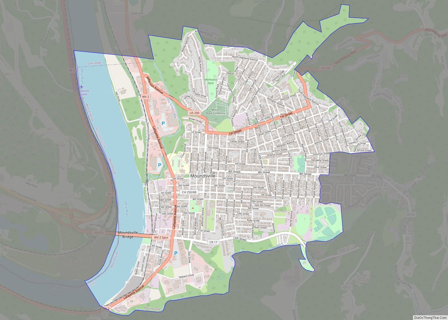
Online Interactive Map
Click on ![]() to view map in "full screen" mode.
to view map in "full screen" mode.
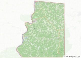
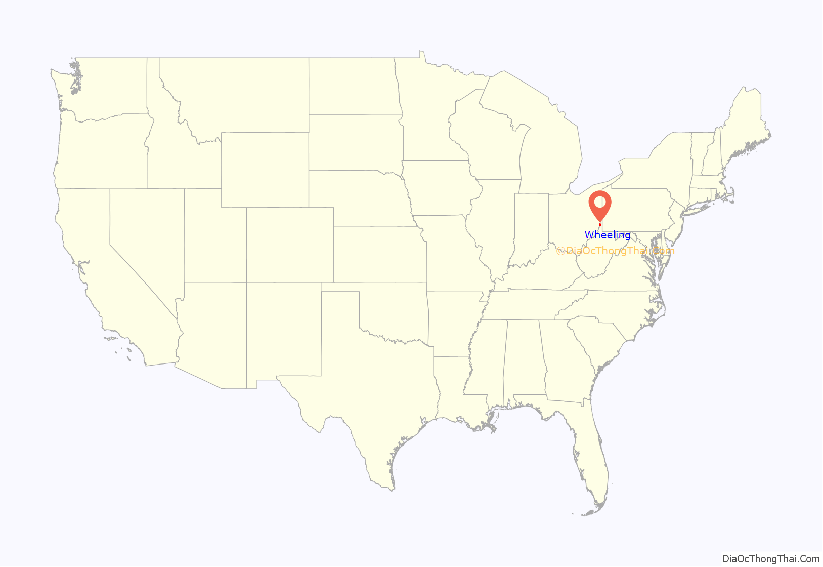
Wheeling location map. Where is Wheeling city?
History
Arrival of early Europeans
The origins of the name “Wheeling” are disputed. One of the more credible explanations is that the word comes from the Lenni-Lenape phrase wih link or wee lunk, which meant “place of the head” or “place of the skull.” This name supposedly referred to a white settler who was scalped and decapitated. His severed head was displayed at the confluence of Wheeling Creek and the Ohio River. Earlier sources say that the head was that of a Native American prisoner, not a settler. Native Americans had inhabited the area for thousands of years. In the 17th century, the Iroquois from present-day New York state conquered the upper Ohio Valley, pushing out other tribes and maintaining the area as their hunting ground.
Originally explored by the French, Wheeling still has a lead plate remnant that the explorer Céloron de Blainville buried in 1749 at the mouth of Wheeling Creek to mark his claim. Later, Christopher Gist and George Washington surveyed the land, in 1751 and 1770, respectively.
Establishment of European settlement
During the fall of 1769, Ebenezer Zane explored the Wheeling area and established claim to the land via “tomahawk rights”, the practice of girdling a few trees at a prominent site and marking the bark with the initials or name of the person making the claim. He returned the following spring with his wife Elizabeth and his younger brothers, Jonathan and Silas; they established the first permanent European settlement in the Wheeling area, naming it Zanesburg. Other families joined the settlement, including the Shepherds (see Monument Place), the Wetzels, and the McCollochs (see McColloch’s Leap).
In 1787, the United States gave Virginia this portion of lands west of the Appalachians, and some to Pennsylvania at its western edge, to settle their claims. By the Northwest Ordinance that year, it established the Northwest Territory to cover other lands north of the Ohio River and west to the Mississippi River. Settlers began to move into new areas along the Ohio.
In 1793, Ebenezer Zane divided the town into lots, and Wheeling was officially established as a town in 1795 by legislative enactment. The town was incorporated January 16, 1805. On March 11, 1836, the town of Wheeling was incorporated into the city of Wheeling.
By an act of the Virginia General Assembly on December 27, 1797, Wheeling was named the county seat of Ohio County.
Fort Henry
Originally dubbed Fort Fincastle in 1774, the fort was later renamed Fort Henry in honor of Virginia’s American governor, Patrick Henry. In 1777, Native Americans of the Shawnee, Wyandot, and Mingo tribes joined to attack pioneer settlements along the upper Ohio River, which were illegal according to the Crown’s Proclamation of 1763. They hoped an alliance with the British would drive the colonial settlers out of their territory.
Local men defended the fort, later joined by recruits from Fort Shepherd (in Elm Grove) and Fort Holliday. The native force burned the surrounding cabins and destroyed livestock.
During the first attack of the year, Major Samuel McColloch led a small force of men from Fort Vanmetre along Short Creek to assist the besieged Fort Henry. Separated from his men, McColloch was chased by attacking natives. Upon his horse, McColloch charged up Wheeling Hill and made what is known as McColloch’s Leap 300 feet (91 m) down its eastern side.
In 1782, a native army along with British soldiers attempted to take Fort Henry. During this siege, Fort Henry’s supply of ammunition was exhausted. The defenders decided to dispatch a man to secure more ammunition from the Zane homestead. Betty Zane volunteered for the dangerous task. During her departing run, she was heckled by both native and British soldiers. After reaching the Zane homestead, she gathered a tablecloth and filled it with gunpowder. During her return, she was fired upon but was uninjured. As a result of her heroism, Fort Henry remained in American control.
Role as transportation hub
The National Road arrived in Wheeling in 1818, linking the Ohio River to the Potomac River, and allowing goods from the Ohio Valley to flow through Wheeling and on to points east. As the endpoint of the National Road, Wheeling became a gateway to early westward expansion. In 1849 the Wheeling Suspension Bridge crossed the Ohio River and allowed the city to expand onto Wheeling Island. Lessons learned in constructing the bridge were used in the construction of the Brooklyn Bridge. Rail transportation reached Wheeling in 1853 when the Baltimore and Ohio Railroad connected Wheeling to Pennsylvania, Maryland, and markets in the Northeast. A new bridge connected the city to Bellaire, Ohio, just across the river, and to western areas of the U.S.
Anti-slavery sentiment
Much of the area had been settled by yeoman farmers, few of whom owned slaves. With the railroad, a larger industrial or mercantile middle class developed that depended on free labor; it felt either disinterest or hostility to slavery. The Wheeling Intelligencer newspaper expressed the area’s anti-secession sentiment as tensions rose over slavery and national issues. The city became part of the movement of western areas to secede from Virginia after the beginning of the Civil War, hosting the Wheeling Convention of 1861. It served as the provisional capital of the Restored Government of Virginia from 1861 to 1863, and became the first capital of West Virginia after the state seceded from Virginia and was admitted to the Union in its own right in 1863.
The growing German population, which included immigrants after the 1848 Revolutions, was firmly anti-slavery. The Germans of Wheeling organized the “First West Virginia Artillery” to oppose the Confederacy and played a role in the initial movement to separate from Virginia. The Germans’ culture influenced the city, such as their “German Singing Societies”, the first of which began in 1855.
Post-Civil War growth
Although Wheeling lost its position as state capital in 1865, it continued to grow. In the late nineteenth century, Wheeling was the new state’s prime industrial center. One early nickname (until an 1885 strike) was “Nail City”, reflecting the iron manufacture in several mills, which dated from the 1840s. Mills transformed pig iron into sheets that could be cut, and some mills also produced boiler plates, stoves, barrel rings, and/or ornamental ironwork. Noted businesses of the era included the Bloch Brothers Tobacco Company (owned by state senator Jesse A. Bloch, who would in 1913 introduce legislation that became the state’s Workmen’s Compensation Act), and later steel concerns after development of the Bessemer process. Wheeling Steel Corporation was created in 1920 and grew after a 1927 strike caused J.P. Morgan and other investors to sell National Tube Company, which had been created in 1899, six years after local owners had consolidated five plants in the area as Wheeling Steel & Iron Company.
In 1866, Lincoln School opened in Wheeling to serve African American students. Lincoln High School was taught by Laura Grayson-Morison. A new building for Lincoln High School opened in the early 1940s; the school closed with desegregation in 1954.
Wheeling had considerable associations with the American labor movement. In 1904 it became the first city in the country to refuse a proposed Andrew Carnegie gift of a free library, because of the industrialist’s labor record, especially the notorious Homestead Strike of 1892. By contrast, cigar tycoon Augustus Pollack (despite once rousing controversy by a plan to use convict labor) left many bequests to the labor movement, which erected a memorial statue. The city’s earliest union was the United Nailers (1860, which later merged into the Amalgamated Association of Iron and Steel Workers), followed by the cigar makers in 1862. The 1877 railroad strike at Martinsburg, West Virginia, reached Wheeling and spread nationwide. In 1897, Eugene Debs, Mother Jones, and Samuel Gompers were among the speakers at a national labor convention in Wheeling to discuss a nationwide coal strike.
With industry, Wheeling reached its peak of population in 1930. As the city grew, prosperous Wheeling residents built fine houses, especially on Wheeling Island, but slums also expanded. As a result of that growth, an ordinance was passed regulating personal cesspools, including a ban on pipe communications with other homes and businesses unless offensive smells were properly trapped.
Modern decline
The Great Depression, and later changes and restructuring in heavy industry following World War II, led to a loss of working-class jobs and population. Capitalizing on its rich architectural heritage, Wheeling has worked to revive its Main Street.
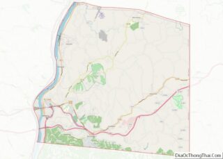
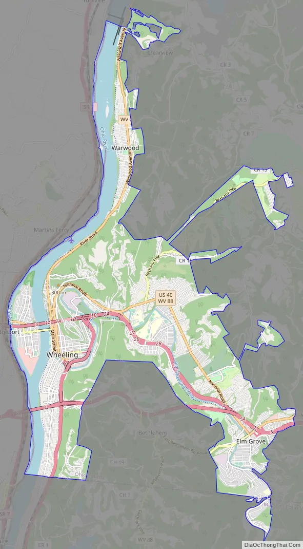
Wheeling Road Map
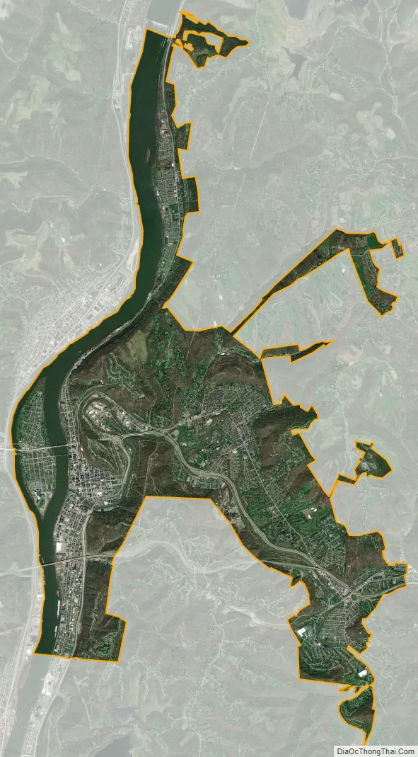
Wheeling city Satellite Map
Geography
Wheeling is located at 40°4′13″N 80°41′55″W / 40.07028°N 80.69861°W / 40.07028; -80.69861 (40.070348, -80.698604). The city has a total area of 16.01 square miles (41.47 km), of which 13.79 square miles (35.72 km) is land and 2.22 square miles (5.75 km) is water.
Wheeling is located in northern West Virginia, on what is known as the Northern Panhandle. The area lies within the ecoregion of the Western Allegheny Plateau. The city is directly across the river from the state of Ohio and only 11 miles (18 km) west of Pennsylvania. It is a part of the tri-state area of Ohio, Pennsylvania, and West Virginia, which is commonly referred to as the Ohio River Valley Region or “The Ohio Valley”.
Wheeling Creek flows through the city, and meets the Ohio River in downtown Wheeling.
The city is located both on the West Virginia side of the Ohio River, and on an island in the middle of the river called Wheeling Island.
Neighborhoods
The following neighborhoods lie within the city limits:
- Arbordale
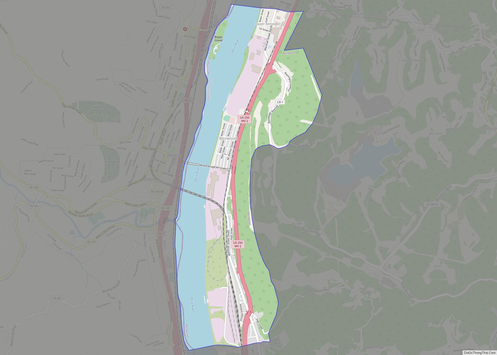
- Benwood (mostly in Marshall County)
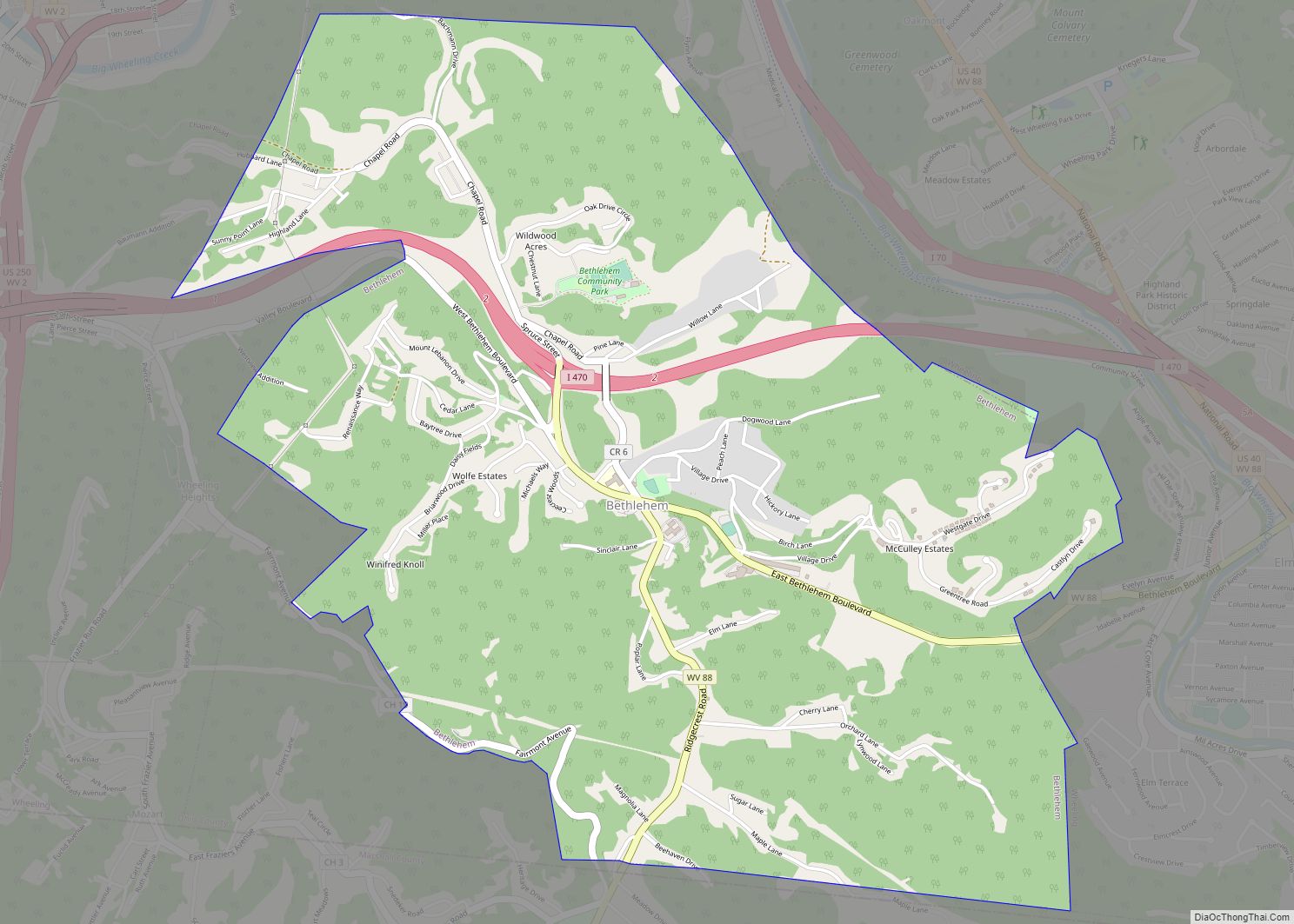
- Bethlehem
- Center Wheeling
- Clator
- Dimmeydale
- Downtown
- East Wheeling
- Echo Point
- Egewood
- Elm Grove
- Elm Terrace
- Fulton
- Glenova/North Warwood
- Glenwood
- Goosetown
- Greggsville
- Leatherwood
- Loveland/South Warwood
- Morningside
- Mozart (partially in Marshall County)
- Mount Olivet (mostly in Marshall County)
- North Park
- North Wheeling
- Oakmont
- Oakmont Hills
- Oak Park
- Oglebay
- Overbrook
- Park View
- Pleasanton
- Pleasant Valley/“Silk Stocking Row”
- Richietown (northern South Wheeling)
- Rio Vista (accessible only through the Village of Bethlehem)
- Roney’s Point
- Sherrard (in Marshall County)
- South Wheeling
- Springdale
- Warwood
- Triadelphia
- Wheeling Heights (Grandview Heights)
- Wheeling Island
- Woodsdale (formerly Woodlawn)
Climate
Wheeling lies at the boundary between the humid subtropical and humid continental climate zones (Köppen: Cfa/Dfa, respectively). The annual precipitation is about 41.88 in (1,064 mm) inches, distributed evenly throughout the year.
See also
Map of West Virginia State and its subdivision:- Barbour
- Berkeley
- Boone
- Braxton
- Brooke
- Cabell
- Calhoun
- Clay
- Doddridge
- Fayette
- Gilmer
- Grant
- Greenbrier
- Hampshire
- Hancock
- Hardy
- Harrison
- Jackson
- Jefferson
- Kanawha
- Lewis
- Lincoln
- Logan
- Marion
- Marshall
- Mason
- McDowell
- Mercer
- Mineral
- Mingo
- Monongalia
- Monroe
- Morgan
- Nicholas
- Ohio
- Pendleton
- Pleasants
- Pocahontas
- Preston
- Putnam
- Raleigh
- Randolph
- Ritchie
- Roane
- Summers
- Taylor
- Tucker
- Tyler
- Upshur
- Wayne
- Webster
- Wetzel
- Wirt
- Wood
- Wyoming
- Alabama
- Alaska
- Arizona
- Arkansas
- California
- Colorado
- Connecticut
- Delaware
- District of Columbia
- Florida
- Georgia
- Hawaii
- Idaho
- Illinois
- Indiana
- Iowa
- Kansas
- Kentucky
- Louisiana
- Maine
- Maryland
- Massachusetts
- Michigan
- Minnesota
- Mississippi
- Missouri
- Montana
- Nebraska
- Nevada
- New Hampshire
- New Jersey
- New Mexico
- New York
- North Carolina
- North Dakota
- Ohio
- Oklahoma
- Oregon
- Pennsylvania
- Rhode Island
- South Carolina
- South Dakota
- Tennessee
- Texas
- Utah
- Vermont
- Virginia
- Washington
- West Virginia
- Wisconsin
- Wyoming