Portage is a city in and the county seat of Columbia County, Wisconsin, United States. The population was 10,581 at the 2020 census, making it the largest city in Columbia County. The city is part of the Madison Metropolitan Statistical Area.
Portage was named for the Fox-Wisconsin Waterway, a portage between the Fox River and the Wisconsin River, which was recognized by Jacques Marquette and Louis Joliet during their discovery of a route to the Mississippi River in 1673. The city’s slogan is “Where the North Begins.”
| Name: | Portage city |
|---|---|
| LSAD Code: | 25 |
| LSAD Description: | city (suffix) |
| State: | Wisconsin |
| County: | Columbia County |
| Elevation: | 794 ft (242 m) |
| Total Area: | 9.71 sq mi (25.14 km²) |
| Land Area: | 8.91 sq mi (23.07 km²) |
| Water Area: | 0.80 sq mi (2.07 km²) |
| Total Population: | 10,581 |
| Population Density: | 1,167.51/sq mi (450.80/km²) |
| ZIP code: | 53901 |
| Area code: | 608 |
| FIPS code: | 5564100 |
| GNISfeature ID: | 1571799 |
| Website: | www.portagewi.gov |
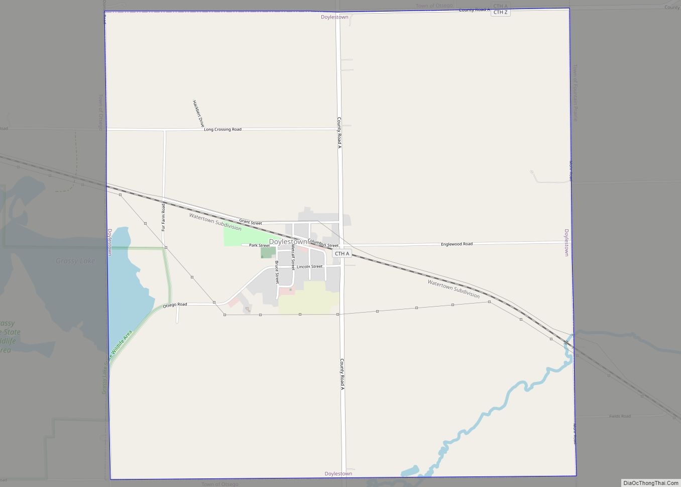
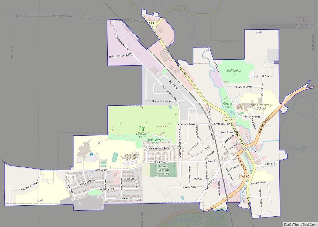
Online Interactive Map
Click on ![]() to view map in "full screen" mode.
to view map in "full screen" mode.
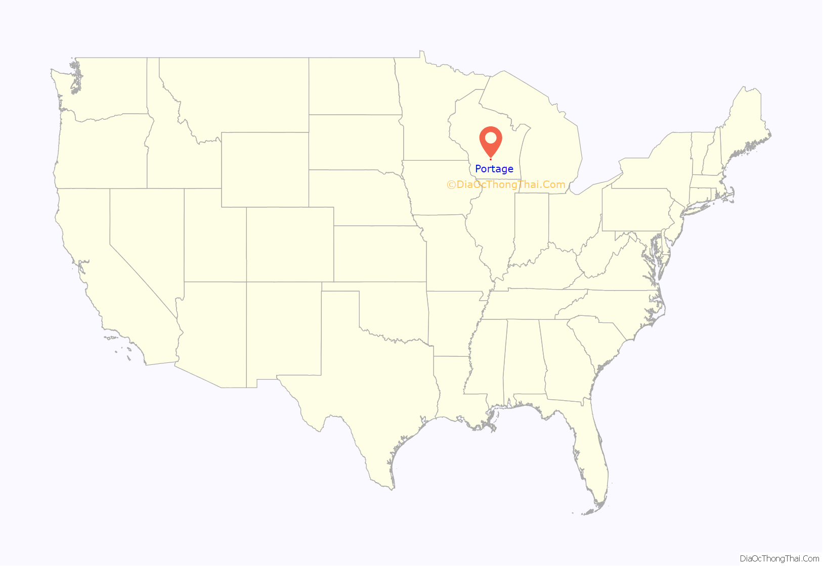
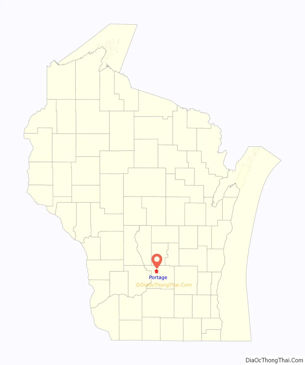
Portage location map. Where is Portage city?
History
The Native American tribes that once lived here, and later the European traders and settlers, took advantage of the lowlands between the Fox and Wisconsin Rivers as a natural “portage”. This is reflected in indigenous names for the town, such as the Menominee name Kahkāmohnakaneh, which means “at the short cut”. In May 1673, Jacques Marquette joined the expedition of Louis Jolliet, a French-Canadian explorer, to find the Mississippi River. They departed from St. Ignace on May 17, with two canoes and five voyageurs of French-Indian ancestry (Métis). They followed Lake Michigan to Green Bay and up the Fox River, nearly to its headwaters. From there, they were told to portage their canoes a distance of slightly less than two miles through marsh and oak plains to the Wisconsin River. Later, French fur traders described the place as “le portage”, which eventually lent itself to the name of the community. As a portage, this community developed as a center of commerce and trade; later, a canal was constructed to facilitate this trade. When the railroads came through, the community continued in this role.
Portage emerged at this place because of its unique position along the one and a half mile strip of marshy floodplain between the Fox and Wisconsin Rivers. By the end of the 17th century, the Fox-Wisconsin waterway, linked at The Portage, served as the major fur trade thoroughfare between Green Bay and Prairie du Chien. It was not until the 1780s and 1790s that traders built their posts and warehouses at each end of The Portage. In the early 19th century Portage was primarily populated by Métis. In 1828, the federal government recognized the strategic economic importance of The Portage and built Fort Winnebago at the Fox River end. After 15 years of controversy, Winnebago settlement (now Portage) won the county seat in 1851. The community incorporated as Portage City in 1854.
The Portage business district lies along a hill that overlooks the Portage Canal. The buildings now in the city’s downtown were once part of a bustling, urban commercial center serving a large region across north central Wisconsin. The building of the city paralleled its commercial prominence between the end of the American Civil War and the second decade of the 20th century.
Historic sites
- Fort Winnebago Surgeon’s Quarters Historic Site
- Fox-Wisconsin Portage Site
- Henry Merrell House
- Old Indian Agency House
- Portage Industrial Waterfront Historic District
- Portage Retail Historic District
- Zona Gale House
- Museum at the Portage
- Wisconsin American Legion Museum and Learning Center
- Portage Canal Society
- Historic Portage Canal
- World War II History Museum
- Wisconsin State Historical Markers in Portage
- Fort Winnebago Surgeon’s Quarters Historic Site
- Frederick Jackson Turner
- Jacques Marquette
- Jacques Marquette and Louis Jolliet
- Ketchum’s Point
- Potter’s Emigration Society
- Society Hill Historic District
- Zona Gale
- Veterans memorials
- Revolutionary War Veteran (Cooper Pixley and Alexander Porter)
- To Honor Pierre Pauquette
- To the Memory of Our Historic Dead
- Daughters of the American Revolution Historic Markers
- Site of Fort Winnebago / Surrender of Red Bird
- Pierre Pauquette and East End of Wauona Trail
- Landing Place of the Ferry Built by Pierre Pauquette
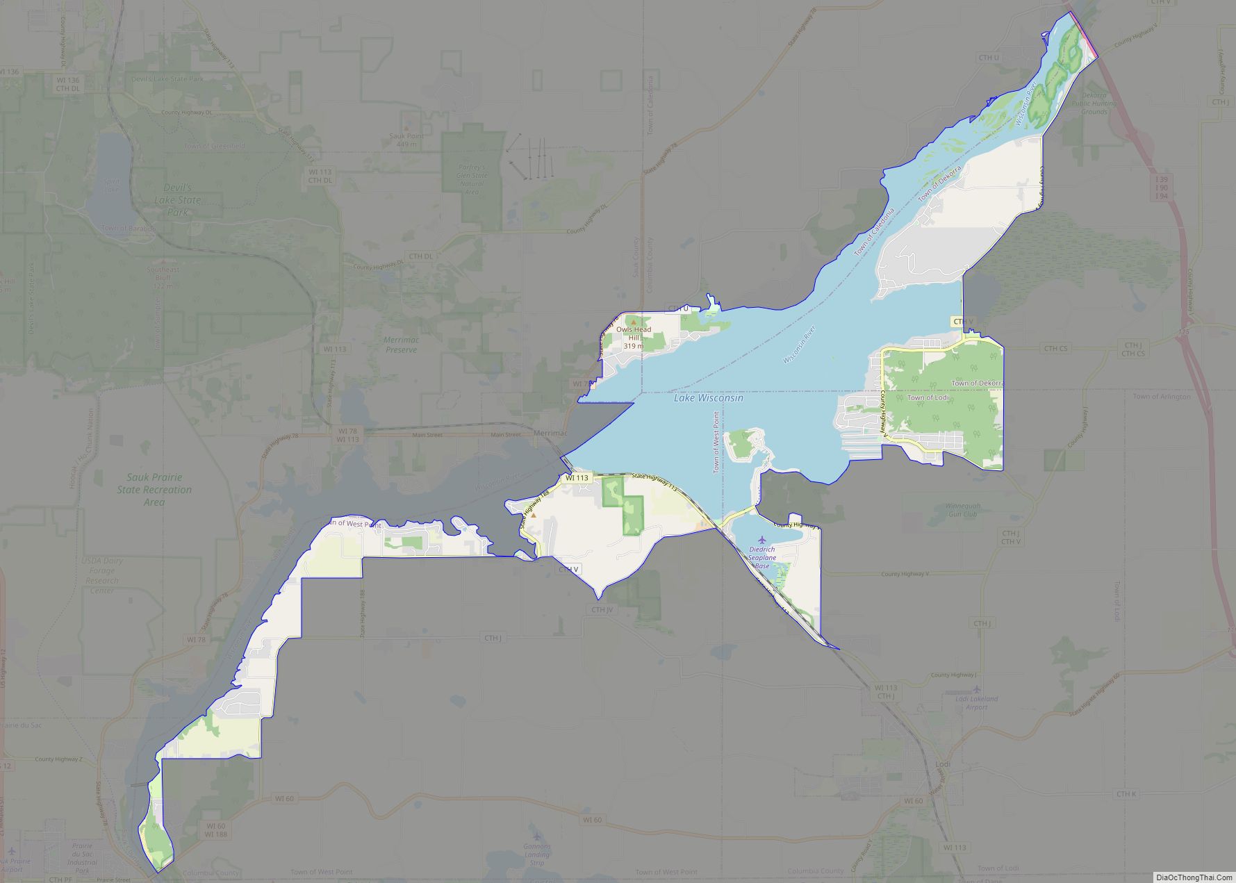
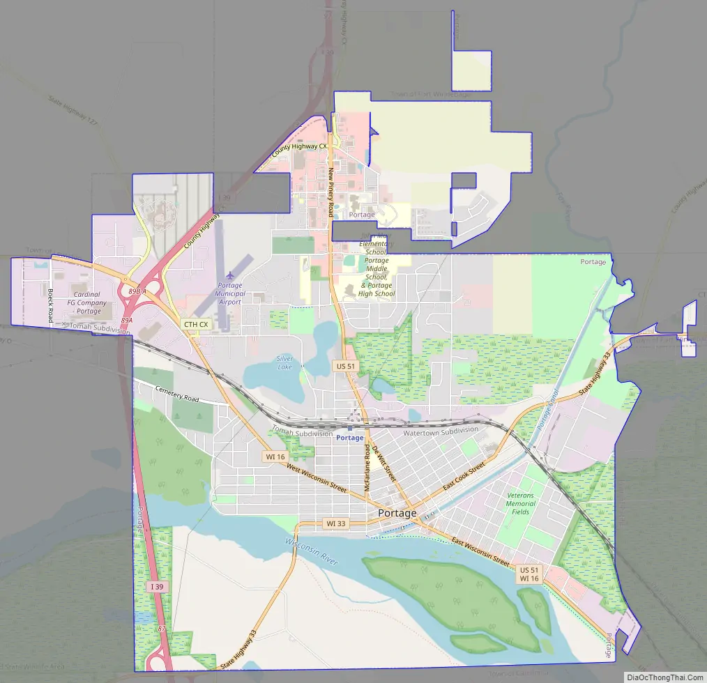
Portage Road Map
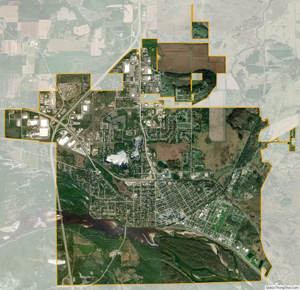
Portage city Satellite Map
Geography
Portage lies in the Wisconsin River valley. The city is surrounded by prairies and grasslands. Approximately three miles (5 km) west of the city are the Baraboo bluffs. According to the United States Census Bureau, the city has a total area of 9.62 square miles (24.92 km), of which, 8.82 square miles (22.84 km) is land and 0.80 square miles (2.07 km) is water. The location of the town at the split of the Wisconsin and Fox river is what gives it the name “Portage”, which means carrying a boat of its cargo between two navigable waters. In addition to the rivers, the city has access to Swan Lake and Silver Lake.
Cityscape
When Portage was first established, the streets were laid out on a traditional grid system. Today, the streets of the outlying city are contorted as a result of the many marshes and lowlands that run through much of Columbia County. The northern side of the city thus looks different from the central city, with the organized grid street system giving way to a more suburban streetscape with a lower housing density.
The city has two commercial areas. One is the downtown historic district, which features several small boutique shops and restaurants; the other is the Northridge commercial area that features big box stores. In the summer of 2007, the Portage Canal was cleaned up and now features a bike path that runs alongside part of it. In the summer of 2008, the main downtown street was redone. Historical landmarks of the city include the Museum at the Portage, the Indian Agency house, and the Surgeons Quarters.
See also
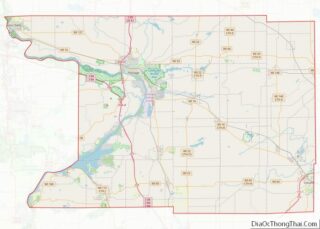
Map of Wisconsin State and its subdivision:- Adams
- Ashland
- Barron
- Bayfield
- Brown
- Buffalo
- Burnett
- Calumet
- Chippewa
- Clark
- Columbia
- Crawford
- Dane
- Dodge
- Door
- Douglas
- Dunn
- Eau Claire
- Florence
- Fond du Lac
- Forest
- Grant
- Green
- Green Lake
- Iowa
- Iron
- Jackson
- Jefferson
- Juneau
- Kenosha
- Kewaunee
- La Crosse
- Lafayette
- Lake Michigan
- Lake Superior
- Langlade
- Lincoln
- Manitowoc
- Marathon
- Marinette
- Marquette
- Menominee
- Milwaukee
- Monroe
- Oconto
- Oneida
- Outagamie
- Ozaukee
- Pepin
- Pierce
- Polk
- Portage
- Price
- Racine
- Richland
- Rock
- Rusk
- Saint Croix
- Sauk
- Sawyer
- Shawano
- Sheboygan
- Taylor
- Trempealeau
- Vernon
- Vilas
- Walworth
- Washburn
- Washington
- Waukesha
- Waupaca
- Waushara
- Winnebago
- Wood
- Alabama
- Alaska
- Arizona
- Arkansas
- California
- Colorado
- Connecticut
- Delaware
- District of Columbia
- Florida
- Georgia
- Hawaii
- Idaho
- Illinois
- Indiana
- Iowa
- Kansas
- Kentucky
- Louisiana
- Maine
- Maryland
- Massachusetts
- Michigan
- Minnesota
- Mississippi
- Missouri
- Montana
- Nebraska
- Nevada
- New Hampshire
- New Jersey
- New Mexico
- New York
- North Carolina
- North Dakota
- Ohio
- Oklahoma
- Oregon
- Pennsylvania
- Rhode Island
- South Carolina
- South Dakota
- Tennessee
- Texas
- Utah
- Vermont
- Virginia
- Washington
- West Virginia
- Wisconsin
- Wyoming