Powell County is a county in the U.S. state of Montana. As of the 2020 census, the population was 6,946. Its county seat is Deer Lodge.
| Name: | Powell County |
|---|---|
| FIPS code: | 30-077 |
| State: | Montana |
| Founded: | February 2, 1901 |
| Named for: | Mount Powell, which was named in turn for John Wesley Powell |
| Seat: | Deer Lodge |
| Largest city: | Deer Lodge |
| Total Area: | 2,333 sq mi (6,040 km²) |
| Land Area: | 2,326 sq mi (6,020 km²) |
| Total Population: | 6,946 |
| Population Density: | 3.0/sq mi (1.1/km²) |
| Time zone: | UTC−7 (Mountain) |
| Summer Time Zone (DST): | UTC−6 (MDT) |
| Website: | www.powellcountymt.gov/ez/index.php |
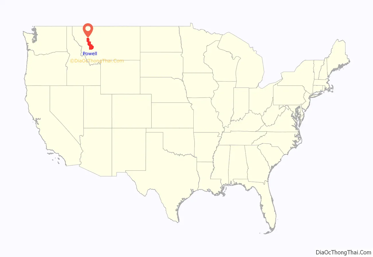
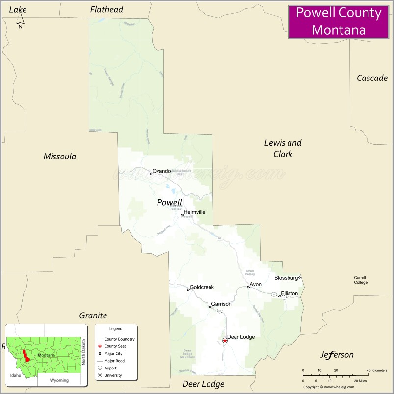
Powell County location map. Where is Powell County?
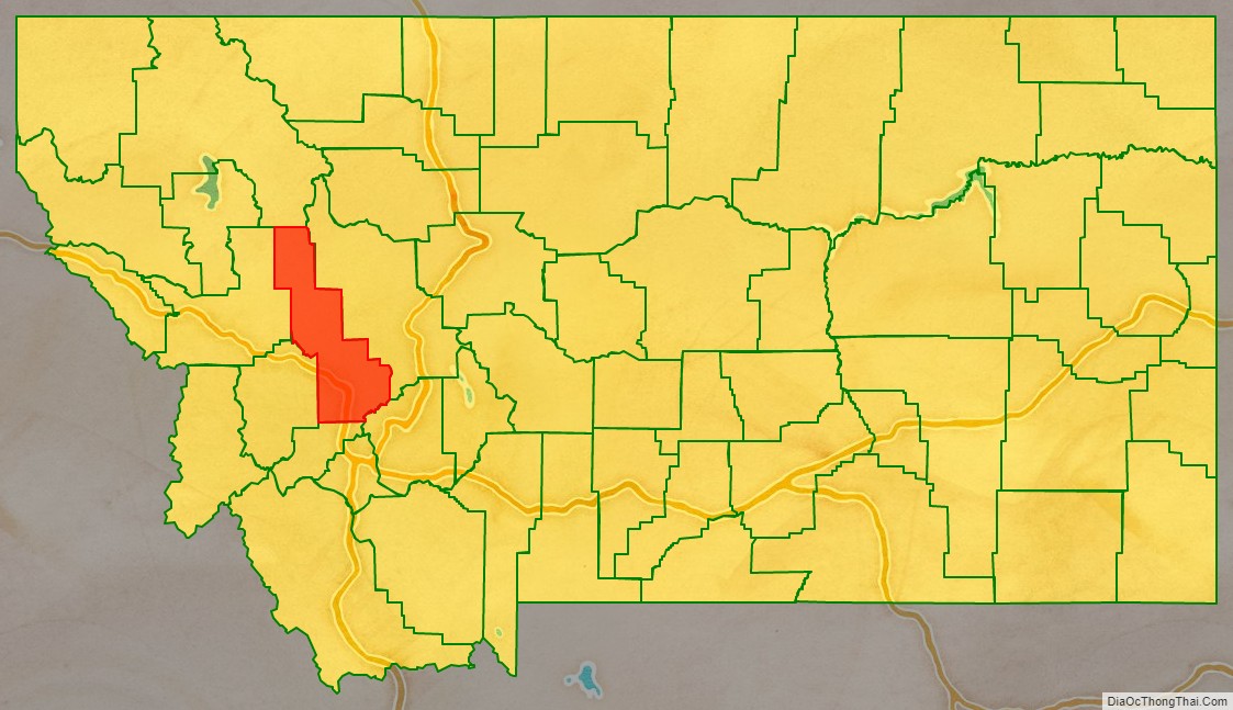
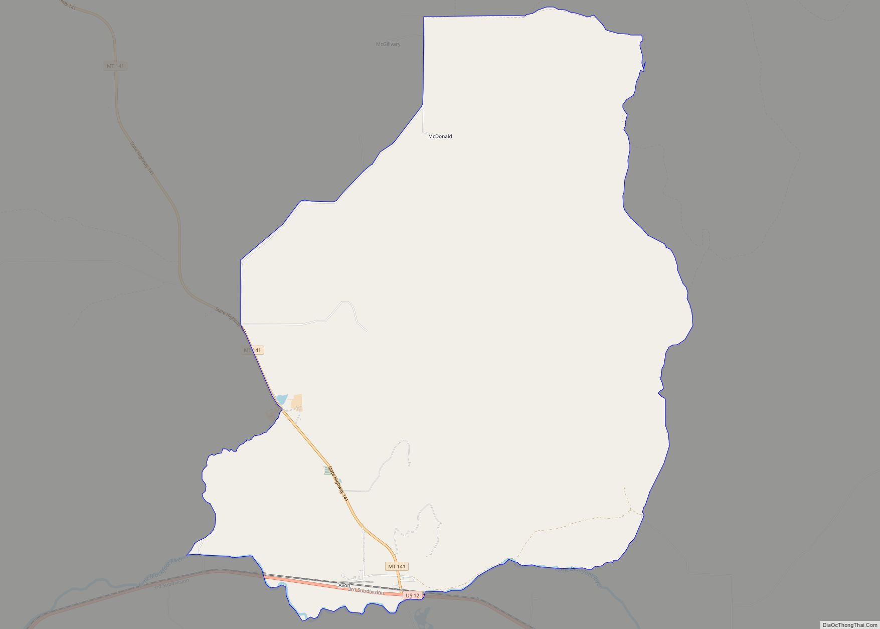
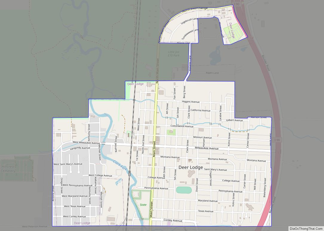
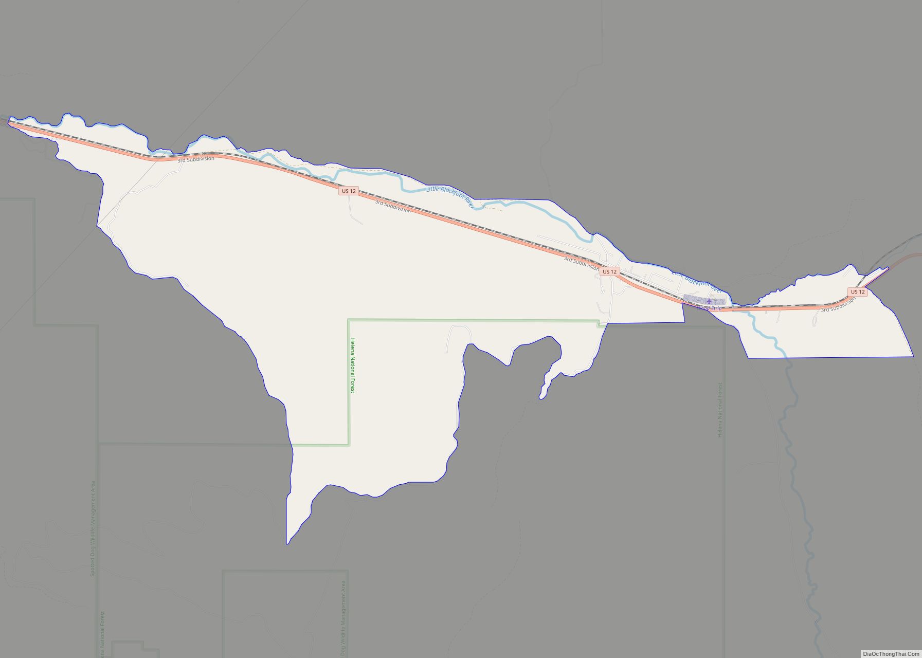
Powell County Road Map
Geography
According to the United States Census Bureau, the county has a total area of 2,332.7 square miles (6,042 km), of which 2,326.4 square miles (6,025 km) is land and 6.3 square miles (16 km) (0.3%) is water.
Major highways
- Interstate 90
- U.S. Route 10 (Former)
- U.S. Route 12
- Montana Highway 141
- Montana Highway 200
Adjacent counties
- Flathead County – north
- Lewis and Clark County – east
- Jefferson County – southeast
- Deer Lodge County – south
- Granite County – southwest
- Missoula County – west
National protected areas
- Beaverhead-Deerlodge National Forest (part)
- Flathead National Forest (part)
- Grant-Kohrs Ranch National Historic Site
- Helena National Forest (part)
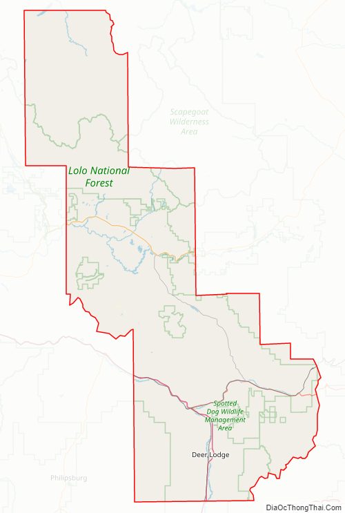
- Lolo National Forest (part)
- Bob Marshall Wilderness Area (part)
- Scapegoat Wilderness Area (part)
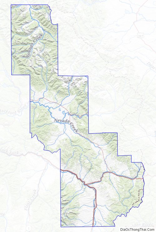
Powell County Topographic Map
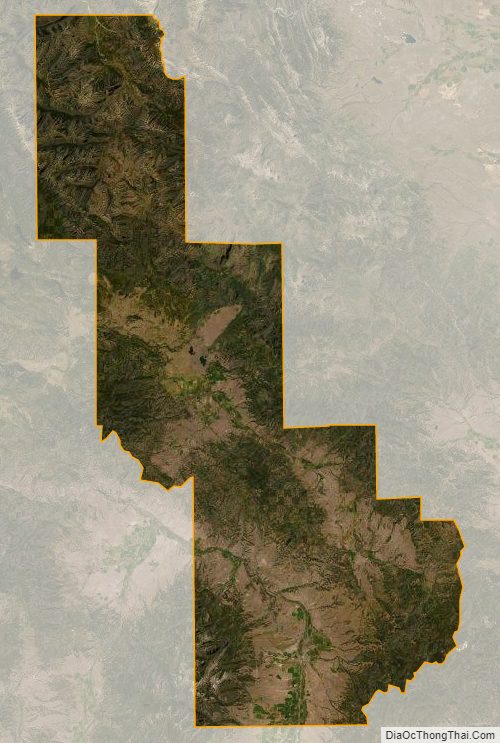
Powell County Satellite Map
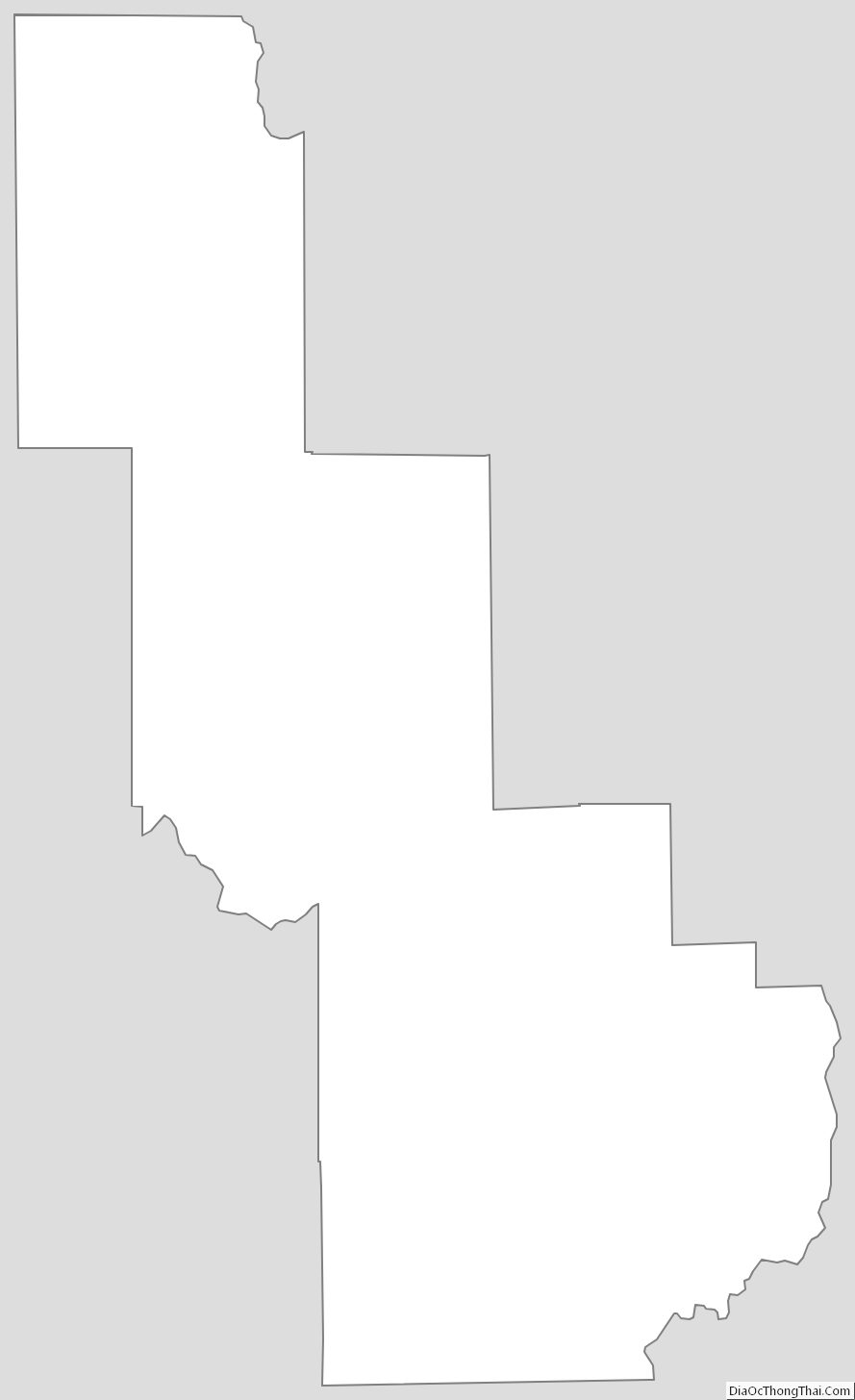
Powell County Outline Map