Garrison is a census-designated place (CDP) in Powell County, Montana, United States. The population was 112 at the 2000 census.
The traditional Salish name for the area that was later named Garrison Junction is snx̣ʷq̓pusaqs. Groups would split up here, with some going towards Helena, others towards Butte.
| Name: | Garrison CDP |
|---|---|
| LSAD Code: | 57 |
| LSAD Description: | CDP (suffix) |
| State: | Montana |
| County: | Powell County |
| Elevation: | 4,374 ft (1,333 m) |
| Total Area: | 9.64 sq mi (24.96 km²) |
| Land Area: | 9.63 sq mi (24.95 km²) |
| Water Area: | 0.00 sq mi (0.01 km²) |
| Total Population: | 115 |
| Population Density: | 11.94/sq mi (4.61/km²) |
| ZIP code: | 59731 |
| Area code: | 406 |
| FIPS code: | 3030175 |
| GNISfeature ID: | 0771720 |
Online Interactive Map
Click on ![]() to view map in "full screen" mode.
to view map in "full screen" mode.
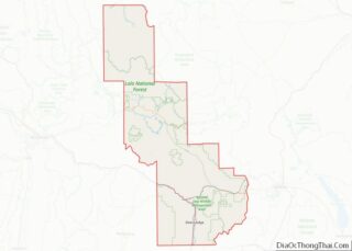
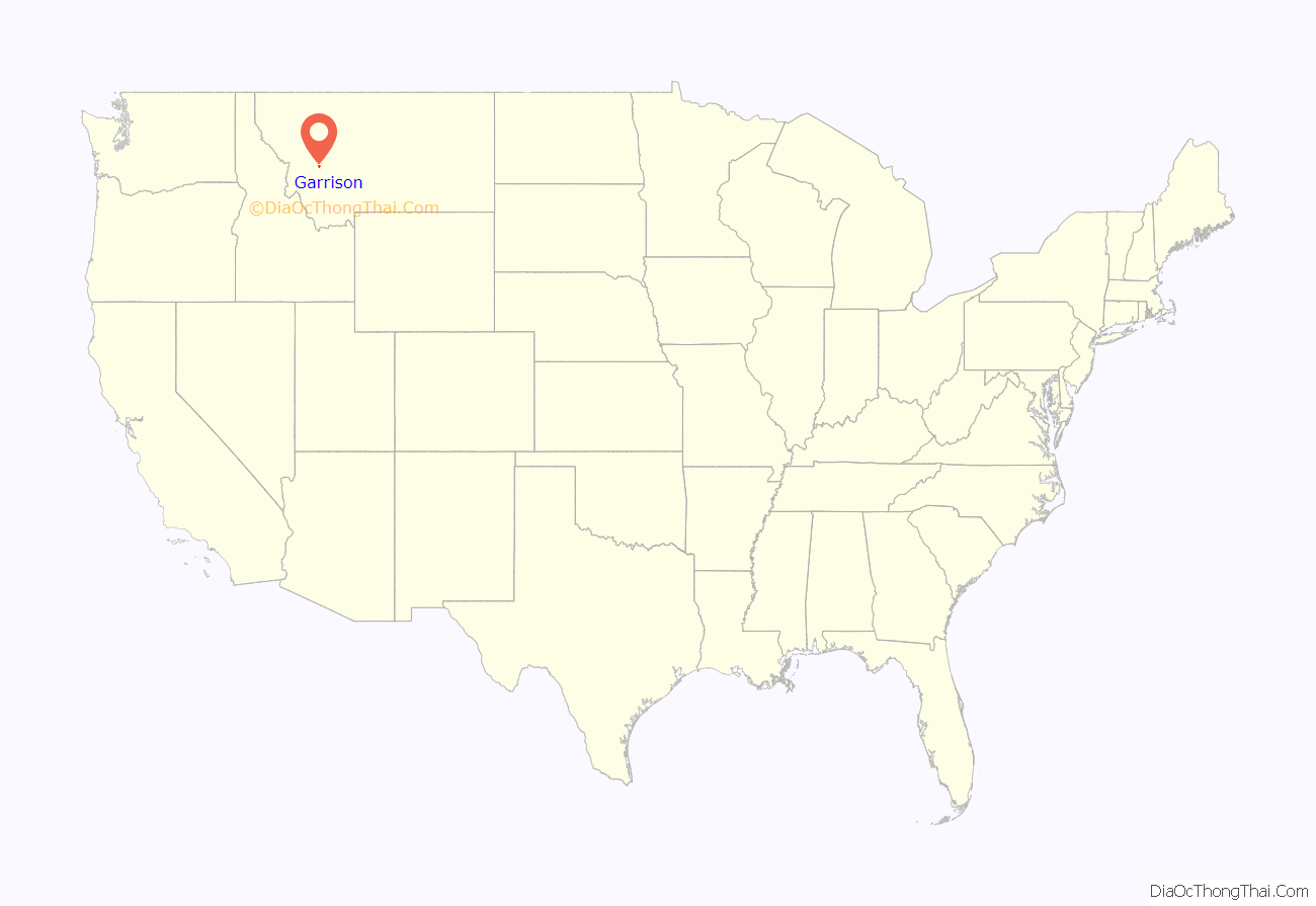
Garrison location map. Where is Garrison CDP?

History
A post office called Garrison was established in 1883, and remained in operation until 2015٫ The community was named for William Lloyd Garrison, an abolitionist. who was also the father-in-law of Henry Villard, the man who finally pushed the Northern Pacific Railroad to completion in 1883. Garrison is just east of Gold Creek, where the ‘golden spike’ was driven on September 8, 1883 to mark the completion of the line. Among others present for the occasion was former President Ulysses S. Grant. Garrison was also a division point for the Northern Pacific; as well as its successors Burlington Northern, Montana Rail Link, and BNSF, with traffic heading east to Helena or south and east to Butte. Heading towards Helena traffic crosses Mullan Pass, while just outside of Butte Homestake Pass is used. The lines converge again in Logan, Montana just outside of Three Forks.
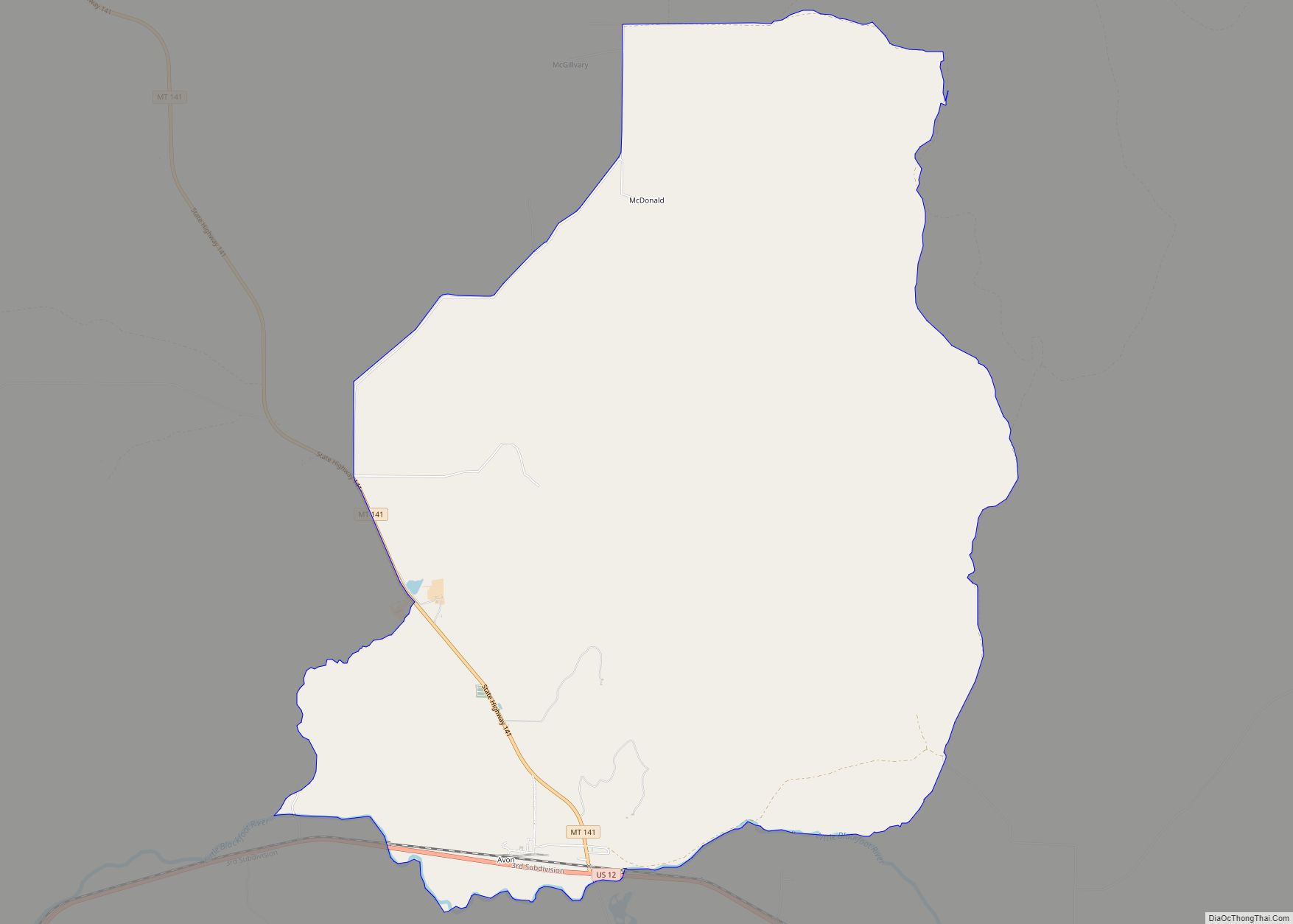
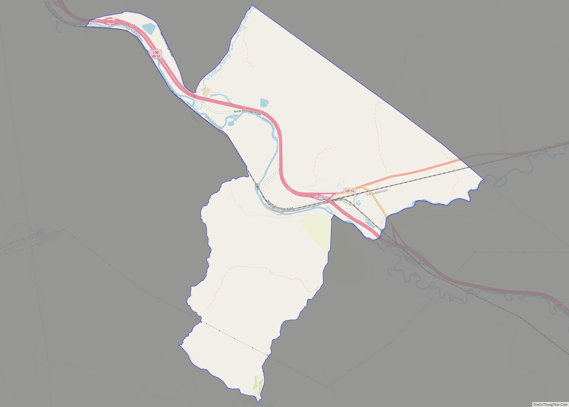
Garrison Road Map
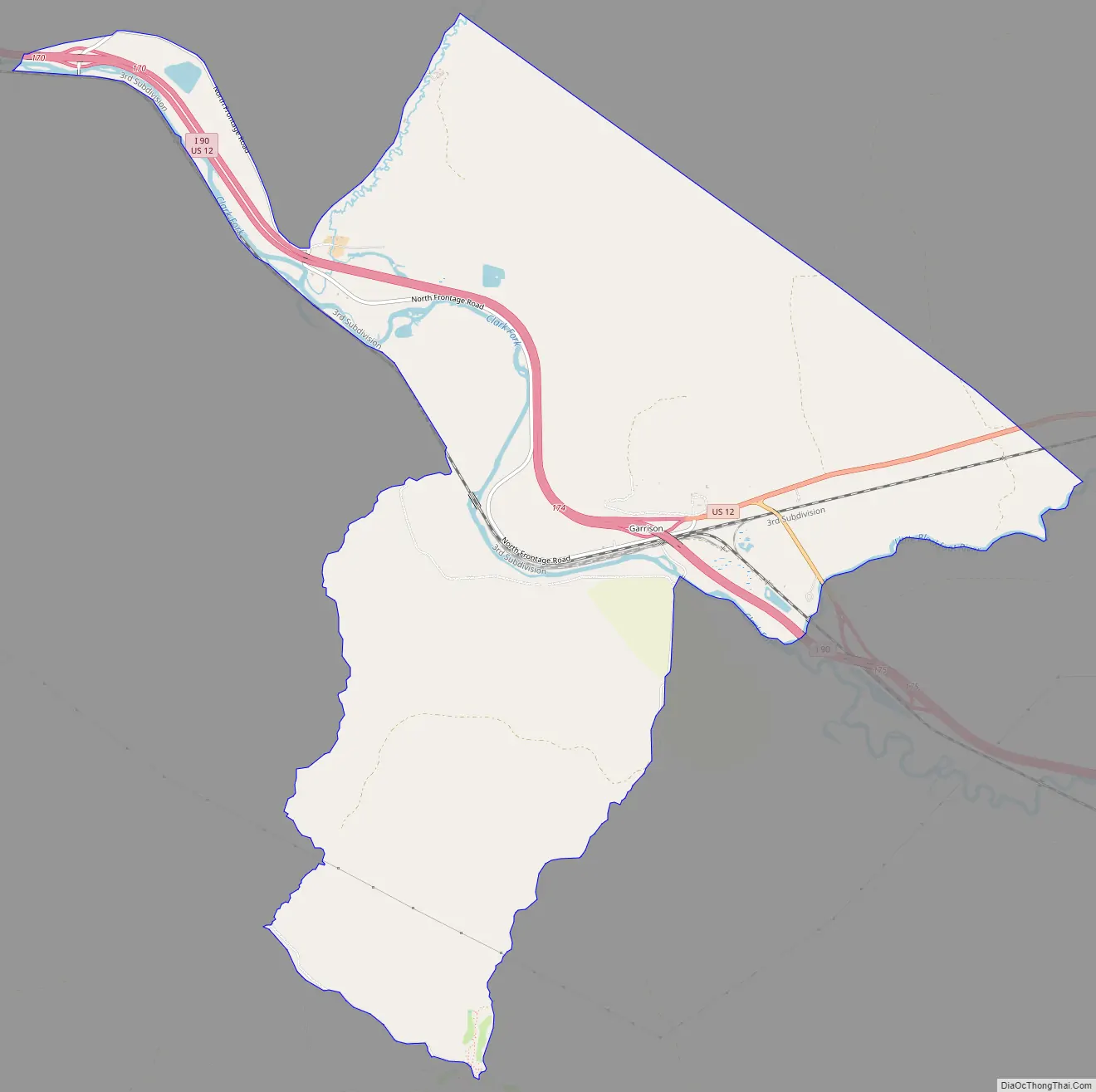
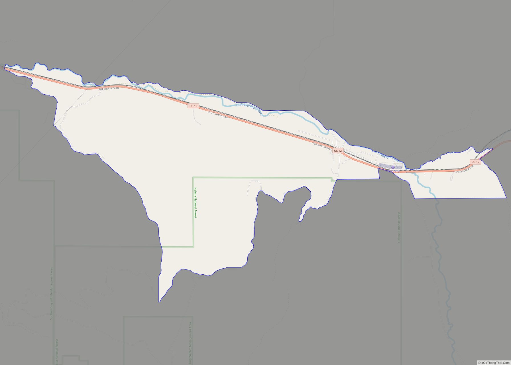
Garrison city Satellite Map

Geography
Garrison is located at 46°32′15″N 112°49′35″W / 46.53750°N 112.82639°W / 46.53750; -112.82639 (46.537526, -112.826435).
According to the United States Census Bureau, the CDP has a total area of 9.5 square miles (25 km), all land.
See also
Map of Montana State and its subdivision:- Beaverhead
- Big Horn
- Blaine
- Broadwater
- Carbon
- Carter
- Cascade
- Chouteau
- Custer
- Daniels
- Dawson
- Deer Lodge
- Fallon
- Fergus
- Flathead
- Gallatin
- Garfield
- Glacier
- Golden Valley
- Granite
- Hill
- Jefferson
- Judith Basin
- Lake
- Lewis and Clark
- Liberty
- Lincoln
- Madison
- McCone
- Meagher
- Mineral
- Missoula
- Musselshell
- Park
- Petroleum
- Phillips
- Pondera
- Powder River
- Powell
- Prairie
- Ravalli
- Richland
- Roosevelt
- Rosebud
- Sanders
- Sheridan
- Silver Bow
- Stillwater
- Sweet Grass
- Teton
- Toole
- Treasure
- Valley
- Wheatland
- Wibaux
- Yellowstone
- Alabama
- Alaska
- Arizona
- Arkansas
- California
- Colorado
- Connecticut
- Delaware
- District of Columbia
- Florida
- Georgia
- Hawaii
- Idaho
- Illinois
- Indiana
- Iowa
- Kansas
- Kentucky
- Louisiana
- Maine
- Maryland
- Massachusetts
- Michigan
- Minnesota
- Mississippi
- Missouri
- Montana
- Nebraska
- Nevada
- New Hampshire
- New Jersey
- New Mexico
- New York
- North Carolina
- North Dakota
- Ohio
- Oklahoma
- Oregon
- Pennsylvania
- Rhode Island
- South Carolina
- South Dakota
- Tennessee
- Texas
- Utah
- Vermont
- Virginia
- Washington
- West Virginia
- Wisconsin
- Wyoming