Deer Lodge is a city in and the county seat of Powell County, Montana, United States. The population was 2,938 at the 2020 census.
| Name: | Deer Lodge city |
|---|---|
| LSAD Code: | 25 |
| LSAD Description: | city (suffix) |
| State: | Montana |
| County: | Powell County |
| Elevation: | 4,567 ft (1,392 m) |
| Total Area: | 1.55 sq mi (4.01 km²) |
| Land Area: | 1.55 sq mi (4.01 km²) |
| Water Area: | 0.00 sq mi (0.00 km²) |
| Total Population: | 2,938 |
| Population Density: | 1,895.48/sq mi (731.80/km²) |
| ZIP code: | 59722 |
| Area code: | 406 |
| FIPS code: | 3019825 |
| GNISfeature ID: | 0782261 |
Online Interactive Map
Click on ![]() to view map in "full screen" mode.
to view map in "full screen" mode.
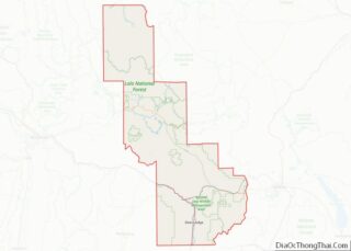
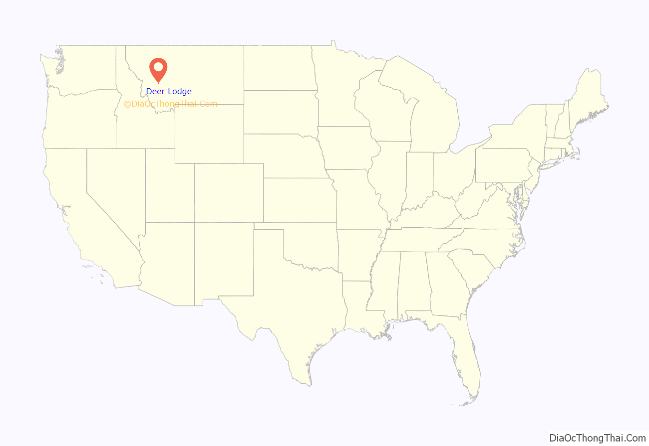
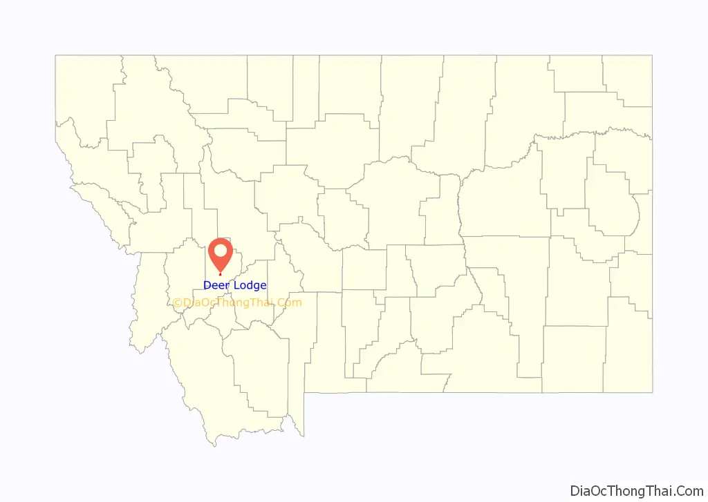
Deer Lodge location map. Where is Deer Lodge city?
History
Extant mentions of the Deer Lodge Valley prior to 1860 are found as occasional remarks in records written for other purposes. Consistent record-keeping begins with the writings of Granville Stuart and others in the early 1860s. 1860 marks the beginning of permanent occupation of both the valley and the future site of the city of Deer Lodge by European-Americans.
Fur trade era
Before 1860, the Deer Lodge Valley was not the territory of any American Indian group. Gatherings were held there, including horse races. American Indian groups from the west, Flatheads, Pend d’Oreilles et al. passed through the valley as an alternative route to and from the buffalo hunting grounds to the east.
The first documented visit to this area by European-American explorers occurred in 1805–1806, when Lewis and Clark’s Corps of Discovery expedition passed by the Deer Lodge Valley without entering it. Evidence of earlier incursion, probably by Spaniards, was noted by miner James B. Beattle on Sugar Loaf mountain in the Race Track mining district on the west side of the Deer Lodge Valley.
Early European trapper/traders passing through the valley referred to it as “the Deer House Plains”. The Clark Fork river was called the Arrow Stone river in the 1830s. By the 1850s it was called the Deer Lodge Creek/Hellgate River. Catholic Father Pierre-Jean De Smet brought the first wagons known to have passed through the valley, in 1841.
In 1846, the Deer Lodge Valley became part of the United States and Oregon Territory with the signing of the Oregon Treaty by the U. S. and Great Britain. From 1853 to 1863 it was in Washington Territory, then briefly part of Idaho Territory until the creation of Montana Territory in 1864.
European-American settlement of the valley gained momentum during the 1850s and 60’s, with the primary site being at present-day Deer Lodge. During the 1850s, trapper/traders from Fort Hall began wintering herds of horses and cattle in the valley. Also during that decade placer gold finds were made near present-day Gold Creek, first in 1852 by Francois (Bennetsee) Findley, followed in 1856 by Hereford, Saunders, Madison et al., and in 1858–61 by James and Granville Stuart, Reese Anderson et al. In 1860–62, Lt. John Mullan oversaw construction of the Mullan Road, which connected Walla Walla, Washington Territory with Fort Benton, then in Dakota Territory. The Mullan Road passed through the north end of the Deer Lodge Valley.
European-American settlement, Montana gold rush
John Francis (Johnny) Grant built the first permanent structures in the valley in 1859–60, at Grantsville near present-day Garrison. Grant had begun grazing cattle and horse herds in the north valley several years previously and “wintered over” there in 1857–58. In 1860, feeling as he said “lonely”, he returned to Fort Hall for summer trading and induced several fellow trader/trappers and their families to return to the valley with him at the end of the season. Instead of locating at Grantsville, his friends chose to build at the site of present-day Deer Lodge, where several Mexican trapper/traders and their Metis families had already established the seasonal settlement of Spanish Fork. While Johnny Grant had been at Fort Hall, several people had come from Fort Union down the Mullan Road route and begun building homes at Grantsville.
In 1861, the Stuart brothers and Reese Anderson established American Fork near present-day Gold Creek. Also in that year Johnny Grant moved his large family to his newly built house at Deer Lodge, at the present-day site of Grant-Kohrs Ranch National Historic Site. During the next two years, placer gold discoveries at Grasshopper Creek, Alder Gulch and other locations to the south caused a population decline in the valley, including the abandonment of Grantsville and American Fork. Beginning in 1864 with gold strikes to the north, Deer Lodge City grew rapidly as a base for supplies to mines in the surrounding mountains.
Montana Territory
By 1861–1862, Spanish Fork was more often referred to as Cottonwood. In 1862, a Deer Lodge Town Committee was established to lay out the town site, to be called LaBarge City – after Missouri River steamboat Captain Joseph LaBarge whose firm, LaBarge, Harkness & Company, had proposed to start a business in Cottonwood. Creation of Idaho Territory in 1863 induced a name change to Idaho City. With the 1864 designation of Montana Territory, Deer Lodge City became the choice. Montana’s first territorial legislature defined most of the boundaries of Deer Lodge County, establishing the county seat at the placer mining camp of Silver Bow City, near Butte. In September 1865, county voters transferred the seat to Deer Lodge City.
During the first half of the 1860s, Granville Stuart described valley social life as including many gay dances and parties, which was the way of the Metis. By 1866, Johnny Grant and many of his fellow Metis had become disenchanted with their increasingly numerous neighbors from “the States”. In that year, Grant sold most of his Deer Lodge Valley holdings to Conrad Kohrs and in 1867 led a mass exodus of Metis families to the Red River country of Manitoba, Canada.
In 1869, the Territorial Prison was located at Deer Lodge. Also that year, the town site plat for Deer Lodge City was recorded. In 1878, Montana Collegiate Institute was established at Deer Lodge City. It opened for classes in 1883 and closed in 1914.
Attorney Horace Clagett, of the Deer Lodge firm Clagett and Dixon, was elected U.S. Representative from Montana Territory for the 1871–73 term. He was defeated for reelection by Martin Maginnis. Clagett was noted for introducing the legislation establishing Yellowstone National Park. Clagett’s partner, William W. Dixon, later moved to Butte and upset Thomas H. Carter in 1891 to serve a single term as U.S. Representative from the State of Montana.
Clagett and Dixon platted the first addition to Deer Lodge City, in 1872. Perhaps its most prominent building was the former St. Joseph’s Hospital.
State of Montana, Powell County
Deer Lodge City was incorporated in 1888, with a mayor and aldermen as officers. Montana achieved statehood in 1889 and a battle ensued between Helena and Anaconda over the location of the capitol in which Helena finally triumphed in 1894. In 1896, Anaconda took the Deer Lodge County seat away from Deer Lodge. This began a battle which culminated in the creation of Powell County in 1901, with its county seat at Deer Lodge.
Frank Conley
After statehood, the State of Montana let a contract to run Montana State Prison, which was awarded to Frank Conley and Thomas McTague. They held the contract until 1908. In that year, the State took over running Montana State Prison, appointing Frank Conley as warden. Conley remained in that capacity until 1921, when Governor Joseph M. Dixon replaced Conley with M. W. Potter. The Governor then commissioned an investigation of Conley’s administration. This resulted in the MacDonald Report, which would be used as the basis for a civil lawsuit by the State of Montana against Conley. The year following, Montana Attorney General Wellington Rankin sued Conley for misuse of state funds and materials, in the case State of Montana vs Frank Conley The case took three months to try and resulted in the State of Montana being ordered to reimburse Conley. Deer Lodge City celebrated with a victory party.
Frank Conley was elected the fifth (1892–93), seventh (1895–1903) and tenth (1907–1928) mayor of Deer Lodge City. When he resigned for the last time, an article in the Billings Gazette called him ‘the longest serving mayor in American history’. Mayor Conley was instrumental in bringing the division headquarters and shops of the Milwaukee Road to Deer Lodge City in 1910. Over the next decade, he presided over upbuilding the town’s infrastructure to accommodate the rapidly expanding population. He was also responsible for the building of the City Hall.
Montana State Prison
In 1908, inmates W. A. Hayes and George Rock killed guard John Robinson and seriously wounded Warden Conley in an attempted prison breakout. In 1959, a prolonged riot occurred at the prison, led by Jerry Miles and Lee Smart, which resulted in the slaying of Deputy Warden Ted Rothe and the eventual suicides of Miles and Smart. All inmates were moved in 1977–79 to a new state prison facility outside of Deer Lodge. The town of Deer Lodge employs the Powell County Museum & Arts Foundation to manage the old facility as a museum.
Superfund site
In the 1870s, Butte developed into a rich silver mining camp. Marcus Daly’s discovery of rich copper veins in his Anaconda mine launched the Copper Kings era at Butte. In 1883, Daly established his smelter facilities at newly platted Anaconda, Montana. Anaconda immediately became Deer Lodge County’s major population center and employer. Smelting activities at Butte and Anaconda left behind enormous amounts of toxic wastes. Flooding on Silver Bow Creek and Warm Springs Creek, particularly in the great valley flood of 1908, spread toxic wastes from Butte through Deer Lodge City, to the Milltown Dam, just east of Missoula. As a result of legal actions begun in 1983 and culminating in 2008, the course of the Clark Fork River from Anaconda to the Milltown Dam was declared to be a Superfund cleanup site. Cleanup costs are financed from the settlement with ARCO (now BP-ARCO).
Economic decline
Interstate 90 bypassed Deer Lodge in 1960. In 1961, the Milwaukee Road ended its Olympian Hiawatha passenger trains. Limited passenger service between Minneapolis and Deer Lodge continued until 1964, at which time all Milwaukee Road passenger service to Deer Lodge ended.
In the 1970s, the Anaconda Copper Company suffered financial setbacks which ultimately caused its 1977 merger with ARCO. By 1982, ARCO had closed down the smelter at Anaconda and stopped mining copper at Butte. In 1980, the Milwaukee Road shut down its western extension. All of its infrastructure from Seattle, Washington to Miles City, Montana was torn out, including the rails themselves.
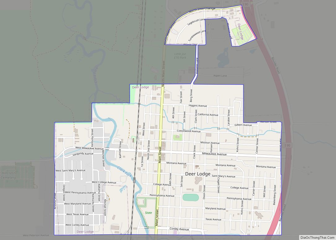
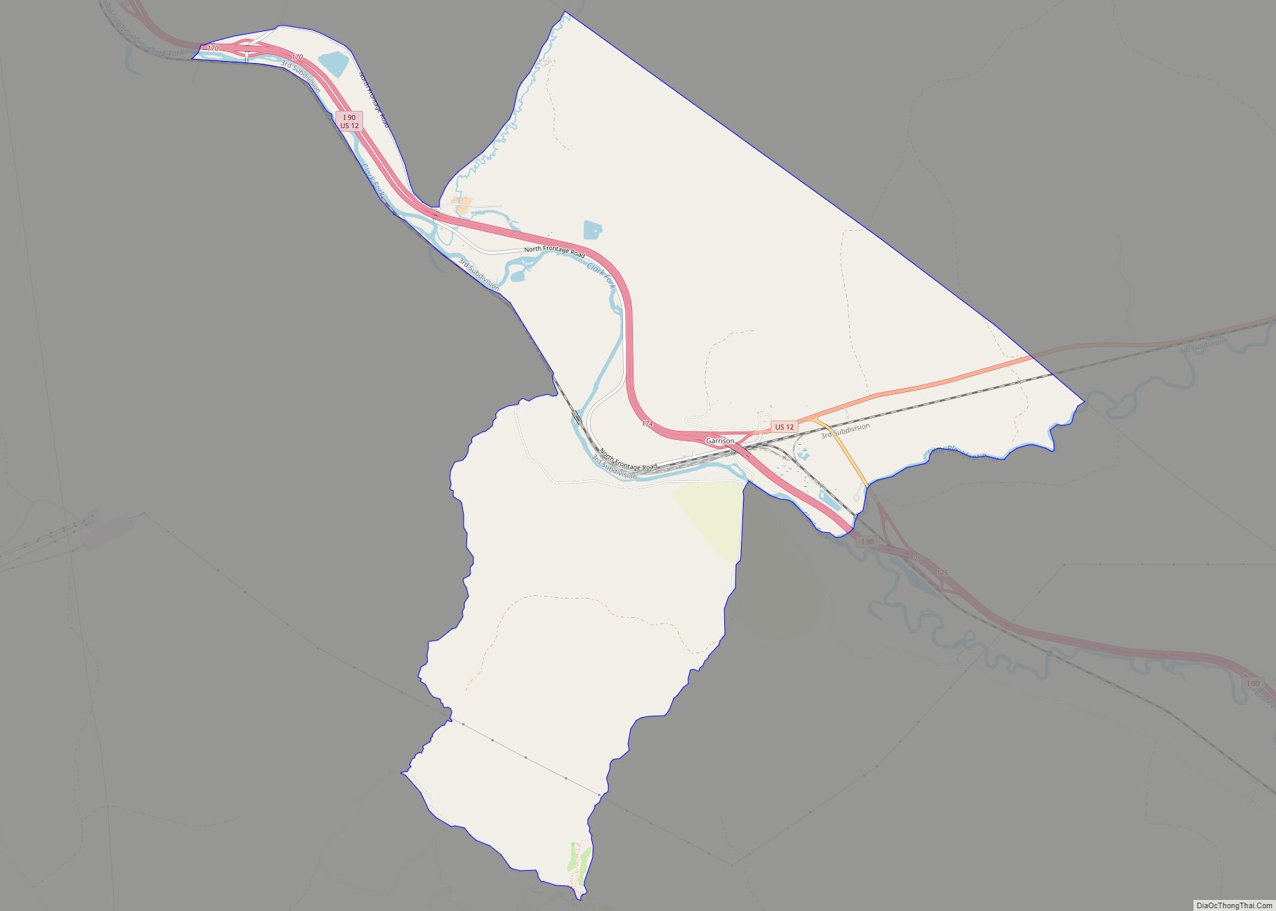
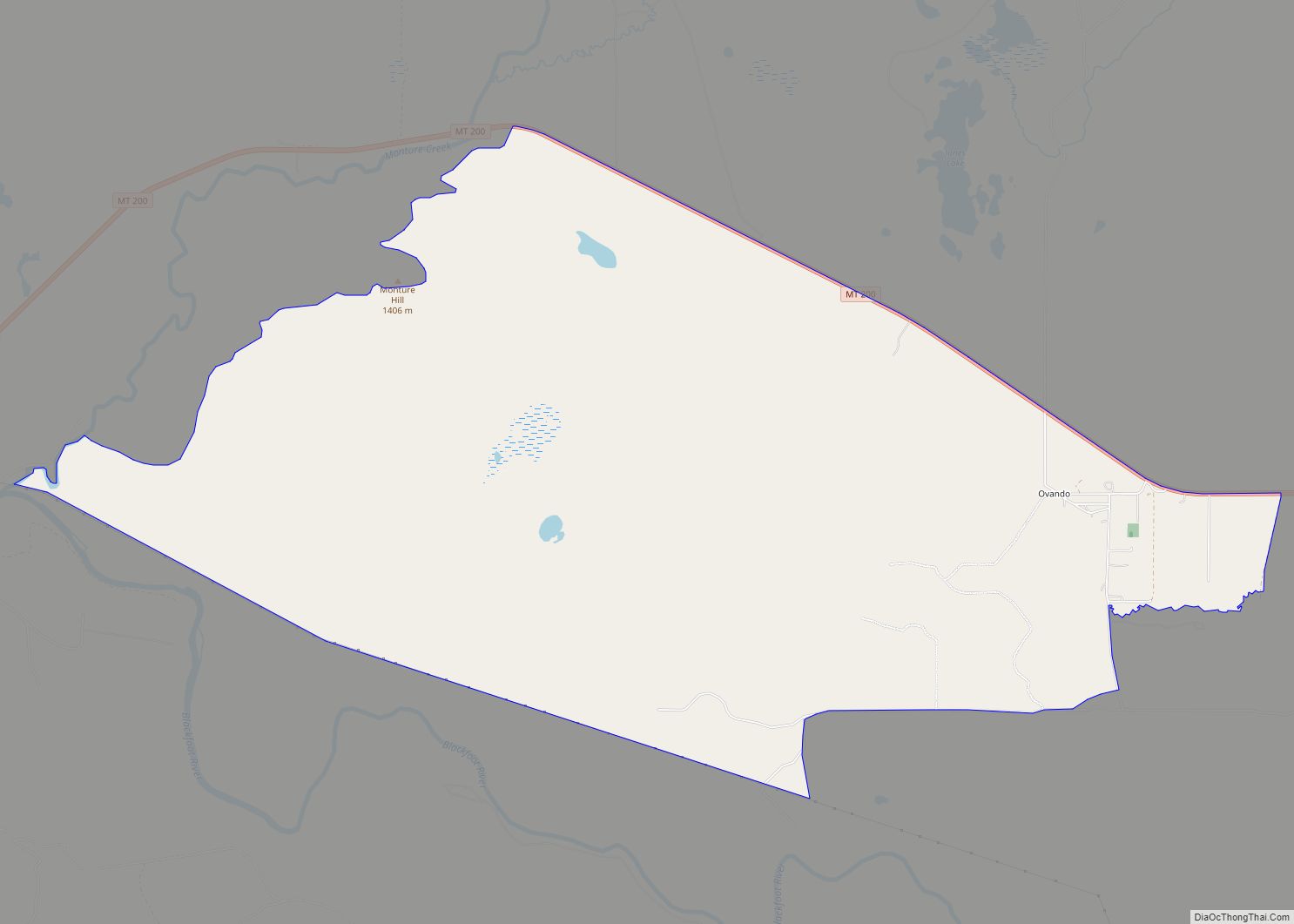
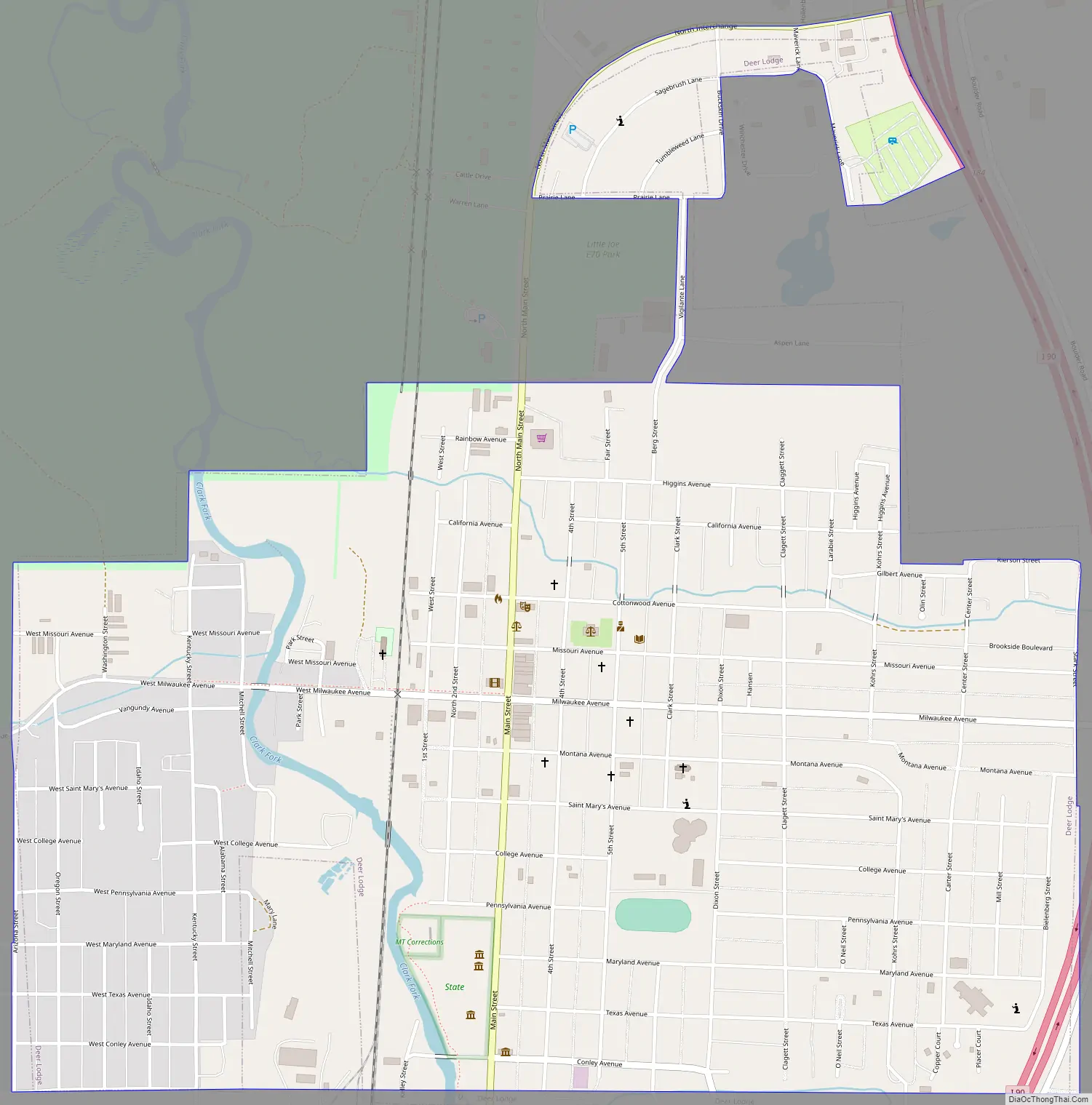
Deer Lodge Road Map
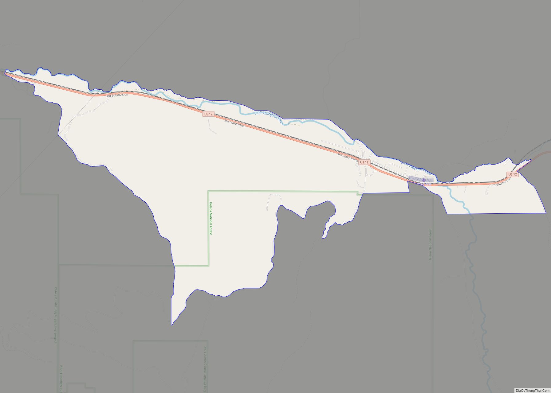
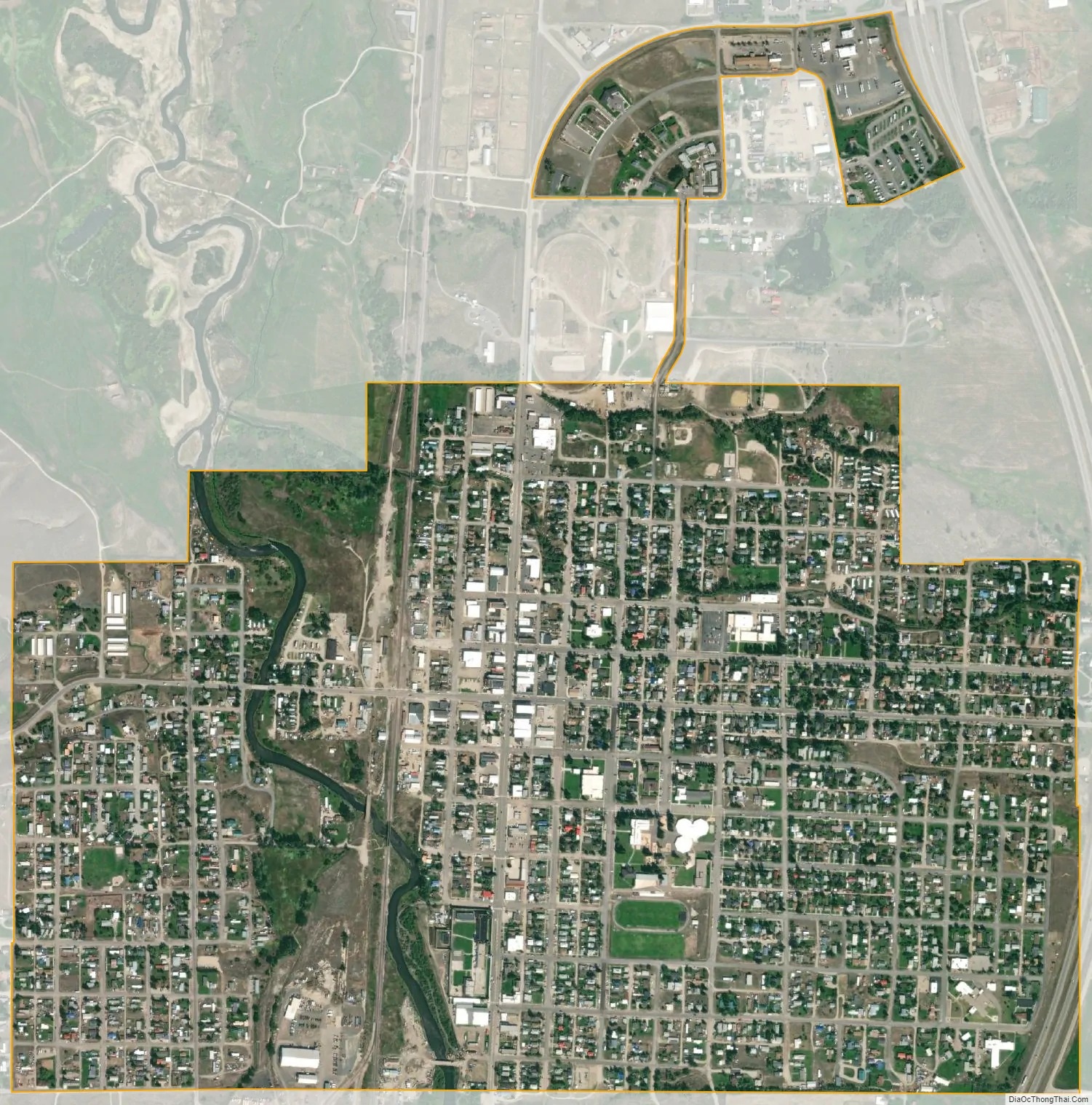
Deer Lodge city Satellite Map
Geography
Deer Lodge is located at 46°23′46″N 112°43′59″W / 46.39611°N 112.73306°W / 46.39611; -112.73306 (46.396183, -112.732922).
According to the United States Census Bureau, the city has a total area of 1.44 square miles (3.73 km), all land.
Climate
This climatic region is typified by large seasonal temperature differences, with warm to hot summers and cold—sometimes severely cold—winters. According to the Köppen Climate Classification system, Deer Lodge has an Alpine influenced climate Semi Arid climate,
See also
Map of Montana State and its subdivision:- Beaverhead
- Big Horn
- Blaine
- Broadwater
- Carbon
- Carter
- Cascade
- Chouteau
- Custer
- Daniels
- Dawson
- Deer Lodge
- Fallon
- Fergus
- Flathead
- Gallatin
- Garfield
- Glacier
- Golden Valley
- Granite
- Hill
- Jefferson
- Judith Basin
- Lake
- Lewis and Clark
- Liberty
- Lincoln
- Madison
- McCone
- Meagher
- Mineral
- Missoula
- Musselshell
- Park
- Petroleum
- Phillips
- Pondera
- Powder River
- Powell
- Prairie
- Ravalli
- Richland
- Roosevelt
- Rosebud
- Sanders
- Sheridan
- Silver Bow
- Stillwater
- Sweet Grass
- Teton
- Toole
- Treasure
- Valley
- Wheatland
- Wibaux
- Yellowstone
- Alabama
- Alaska
- Arizona
- Arkansas
- California
- Colorado
- Connecticut
- Delaware
- District of Columbia
- Florida
- Georgia
- Hawaii
- Idaho
- Illinois
- Indiana
- Iowa
- Kansas
- Kentucky
- Louisiana
- Maine
- Maryland
- Massachusetts
- Michigan
- Minnesota
- Mississippi
- Missouri
- Montana
- Nebraska
- Nevada
- New Hampshire
- New Jersey
- New Mexico
- New York
- North Carolina
- North Dakota
- Ohio
- Oklahoma
- Oregon
- Pennsylvania
- Rhode Island
- South Carolina
- South Dakota
- Tennessee
- Texas
- Utah
- Vermont
- Virginia
- Washington
- West Virginia
- Wisconsin
- Wyoming