Montezuma is a city in Poweshiek County, Iowa, United States. The population was 1,442 at the time of the 2020 census. It is the county seat of Poweshiek County.
| Name: | Montezuma city |
|---|---|
| LSAD Code: | 25 |
| LSAD Description: | city (suffix) |
| State: | Iowa |
| County: | Poweshiek County |
| Elevation: | 951 ft (290 m) |
| Total Area: | 2.48 sq mi (6.44 km²) |
| Land Area: | 2.47 sq mi (6.40 km²) |
| Water Area: | 0.01 sq mi (0.04 km²) |
| Total Population: | 1,442 |
| Population Density: | 583.81/sq mi (225.37/km²) |
| ZIP code: | 50171 |
| Area code: | 641 |
| FIPS code: | 1953490 |
| GNISfeature ID: | 0459191 |
| Website: | montezumaiowa.org |
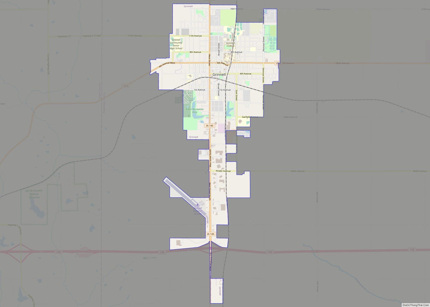
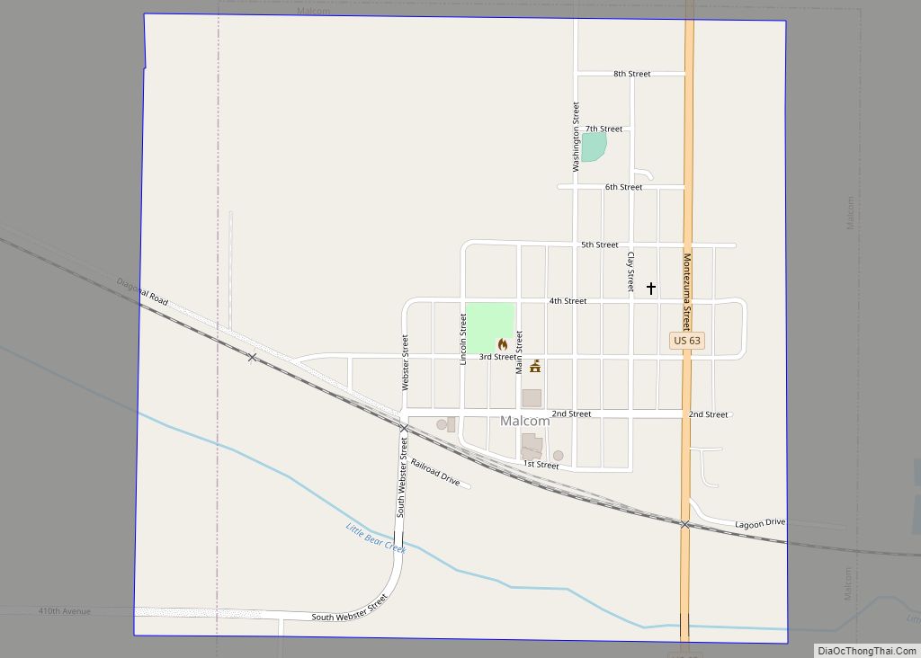
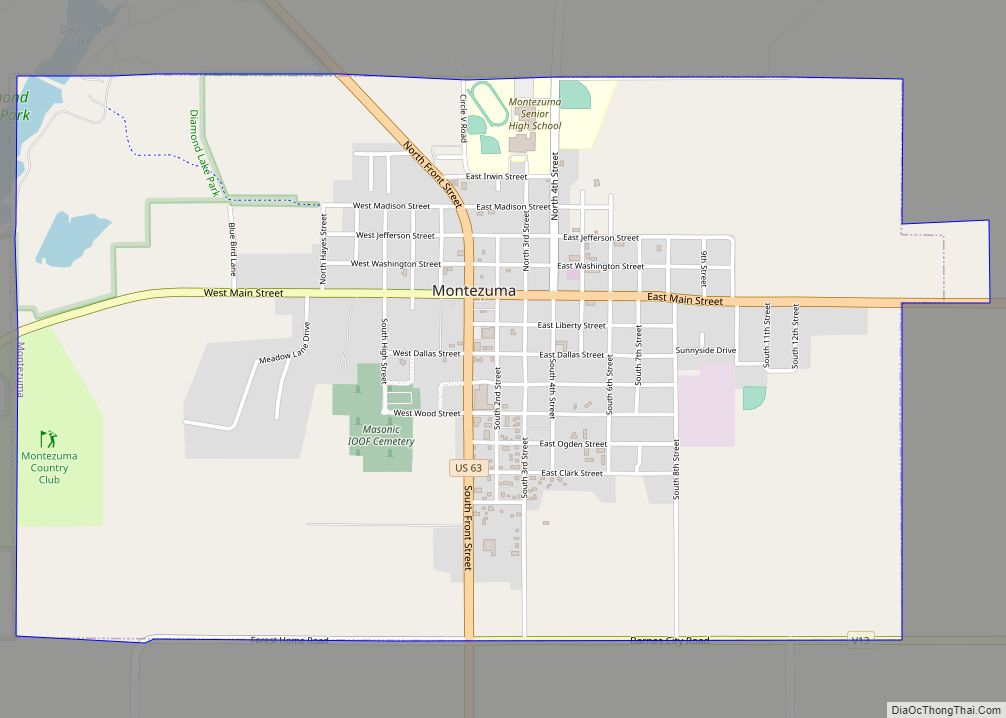
Online Interactive Map
Click on ![]() to view map in "full screen" mode.
to view map in "full screen" mode.
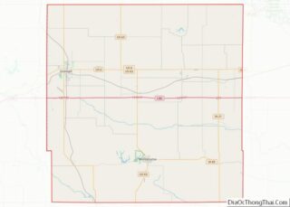
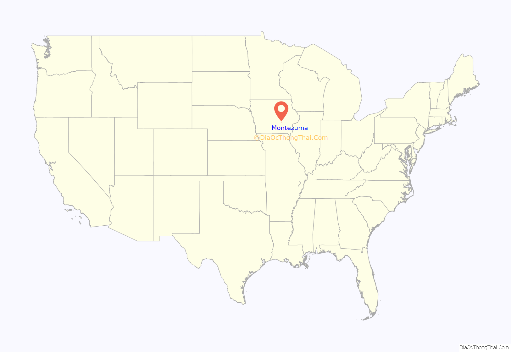
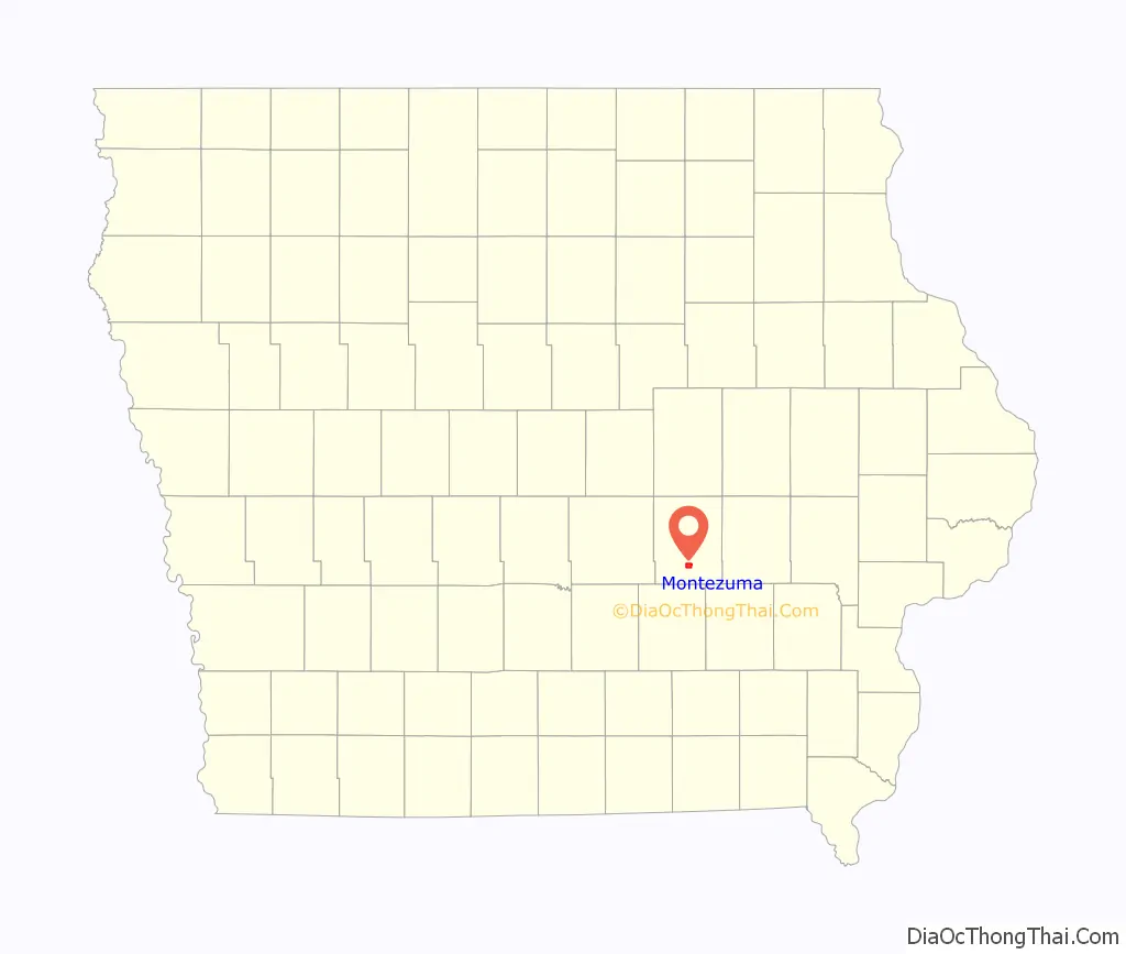
Montezuma location map. Where is Montezuma city?
History
Montezuma was first established in 1848, when local veterans of the Mexican–American War named the city after Monteuczomah, the last Aztec emperor of Mexico. Once a hub of regional railroad transport, Montezuma has continued to evolve and grow in a variety of ways. Montezuma was also a major stop on the stagecoach line between Iowa City and Des Moines on the original Diamond Trail.
Located on the southwest corner of Montezuma’s square is the Poweshiek County Historical and Genealogical Society, located in the historic Carnegie library. Housed in the former Poweshiek County Jail is the Poweshiek County History Museum.
The Scott Township School No. 7, also known as the Fitzsimmons School was moved from the original country landscape to the campus of the Poweshiek County Historical Society.
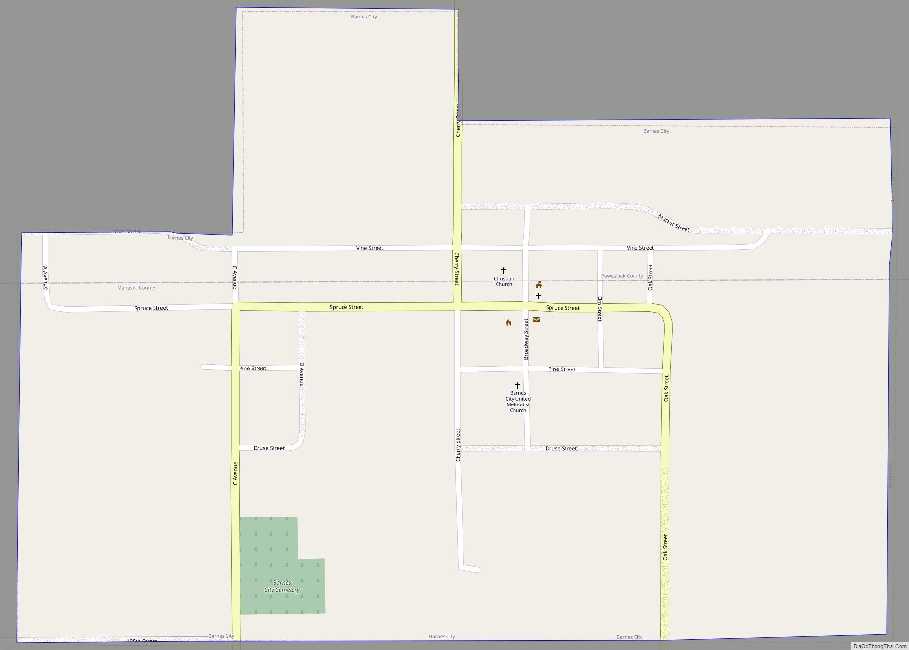
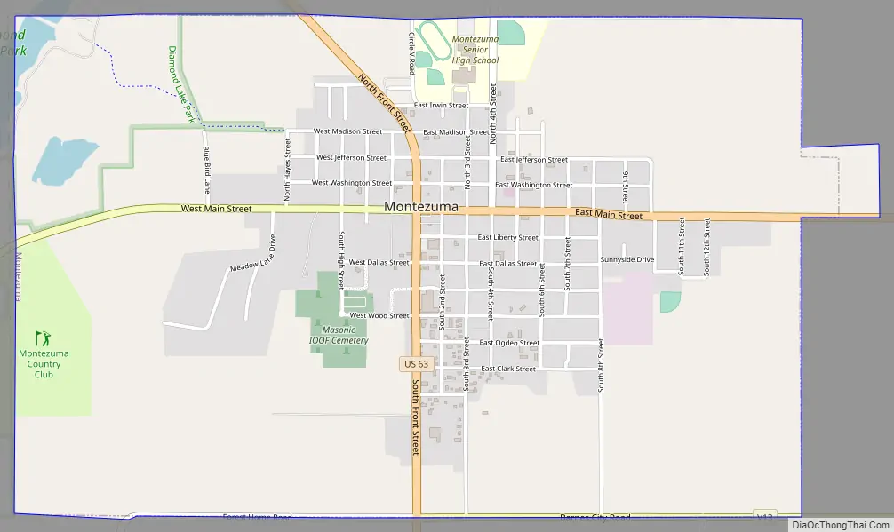
Montezuma Road Map
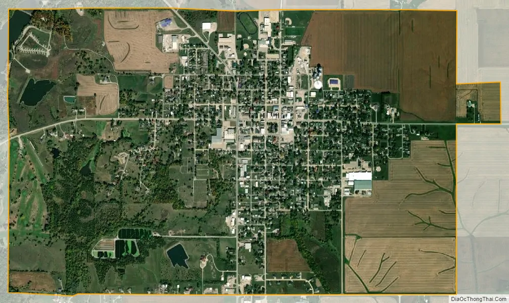
Montezuma city Satellite Map
Geography
Montezuma’s longitude and latitude coordinates in decimal form are 41.584737, -92.525258.
According to the United States Census Bureau, the city has a total area of 2.49 square miles (6.45 km), of which 2.48 square miles (6.42 km) is land and 0.01 square miles (0.03 km) is water.
See also
Map of Iowa State and its subdivision:- Adair
- Adams
- Allamakee
- Appanoose
- Audubon
- Benton
- Black Hawk
- Boone
- Bremer
- Buchanan
- Buena Vista
- Butler
- Calhoun
- Carroll
- Cass
- Cedar
- Cerro Gordo
- Cherokee
- Chickasaw
- Clarke
- Clay
- Clayton
- Clinton
- Crawford
- Dallas
- Davis
- Decatur
- Delaware
- Des Moines
- Dickinson
- Dubuque
- Emmet
- Fayette
- Floyd
- Franklin
- Fremont
- Greene
- Grundy
- Guthrie
- Hamilton
- Hancock
- Hardin
- Harrison
- Henry
- Howard
- Humboldt
- Ida
- Iowa
- Jackson
- Jasper
- Jefferson
- Johnson
- Jones
- Keokuk
- Kossuth
- Lee
- Linn
- Louisa
- Lucas
- Lyon
- Madison
- Mahaska
- Marion
- Marshall
- Mills
- Mitchell
- Monona
- Monroe
- Montgomery
- Muscatine
- O'Brien
- Osceola
- Page
- Palo Alto
- Plymouth
- Pocahontas
- Polk
- Pottawattamie
- Poweshiek
- Ringgold
- Sac
- Scott
- Shelby
- Sioux
- Story
- Tama
- Taylor
- Union
- Van Buren
- Wapello
- Warren
- Washington
- Wayne
- Webster
- Winnebago
- Winneshiek
- Woodbury
- Worth
- Wright
- Alabama
- Alaska
- Arizona
- Arkansas
- California
- Colorado
- Connecticut
- Delaware
- District of Columbia
- Florida
- Georgia
- Hawaii
- Idaho
- Illinois
- Indiana
- Iowa
- Kansas
- Kentucky
- Louisiana
- Maine
- Maryland
- Massachusetts
- Michigan
- Minnesota
- Mississippi
- Missouri
- Montana
- Nebraska
- Nevada
- New Hampshire
- New Jersey
- New Mexico
- New York
- North Carolina
- North Dakota
- Ohio
- Oklahoma
- Oregon
- Pennsylvania
- Rhode Island
- South Carolina
- South Dakota
- Tennessee
- Texas
- Utah
- Vermont
- Virginia
- Washington
- West Virginia
- Wisconsin
- Wyoming