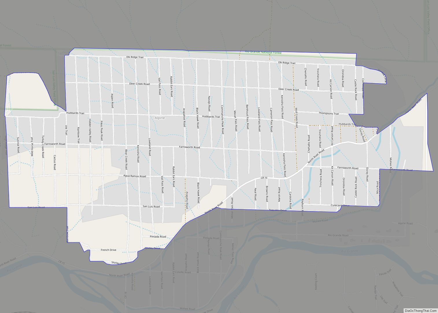
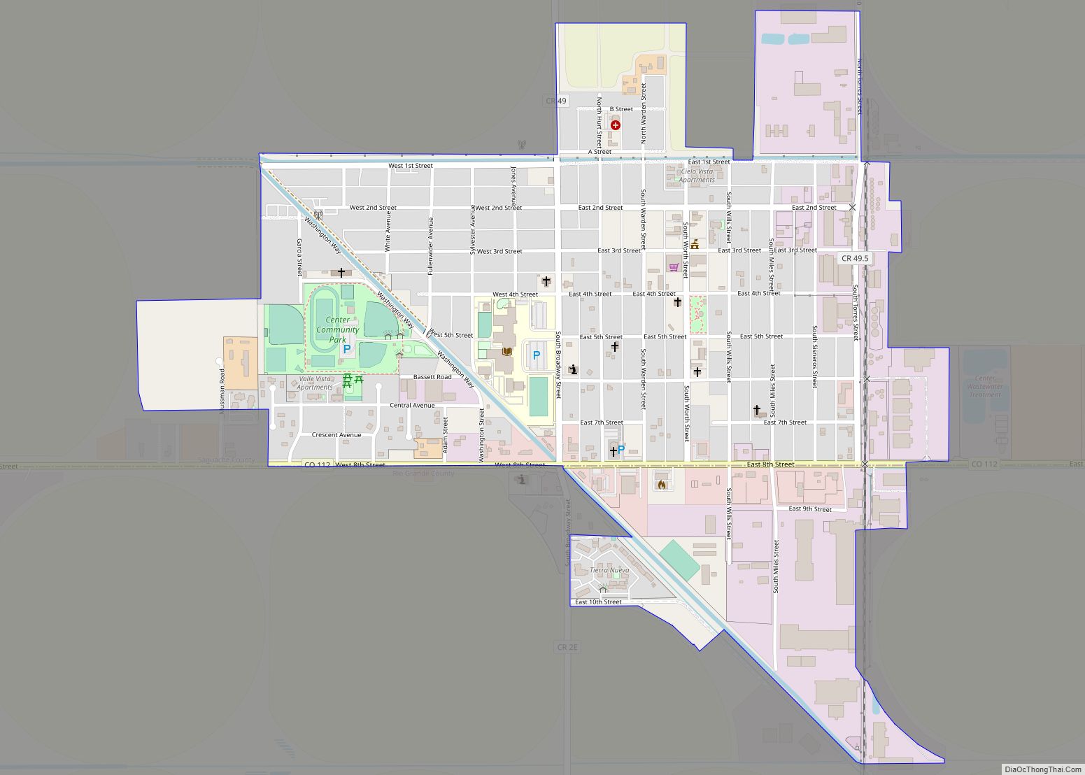
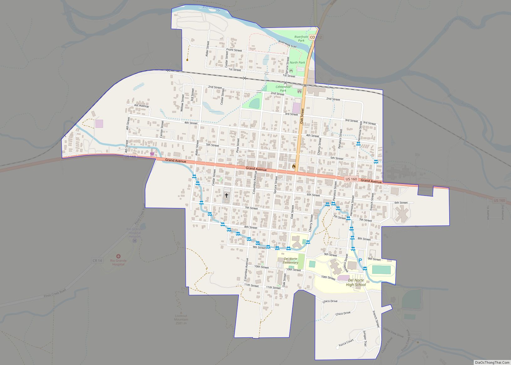
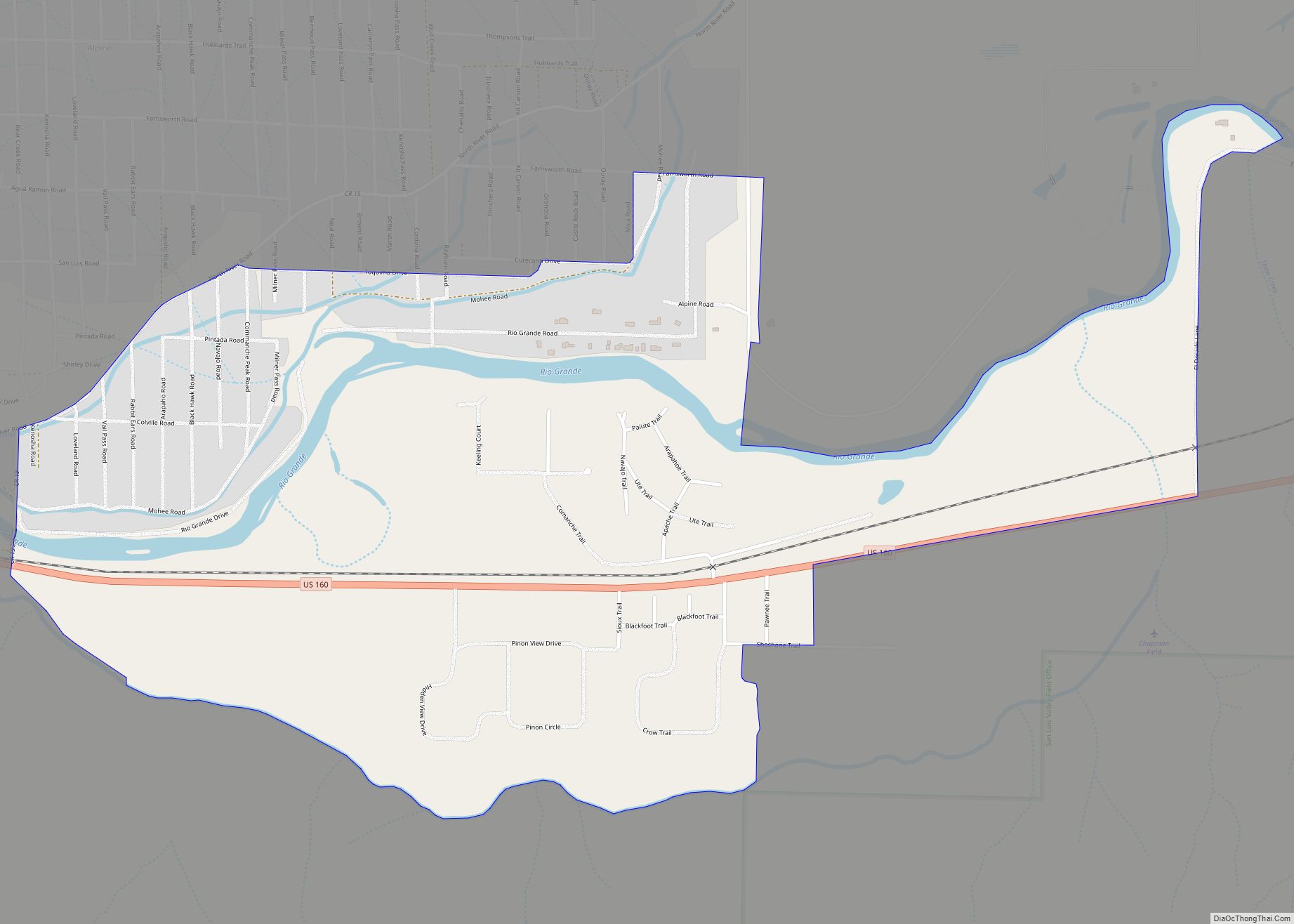
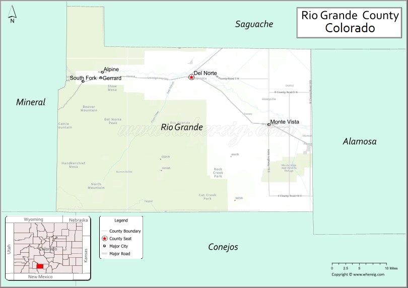
Rio Grande County is a county located in the U.S. state of Colorado. As of the 2020 census, the population was 11,539. The county seat is Del Norte. The county is named for the Rio Grande (Spanish language for “Big River”), which flows through the county.
| Name: | Rio Grande County |
|---|---|
| FIPS code: | 08-105 |
| State: | Colorado |
| Founded: | February 10, 1874 |
| Named for: | Rio Grande |
| Seat: | Del Norte |
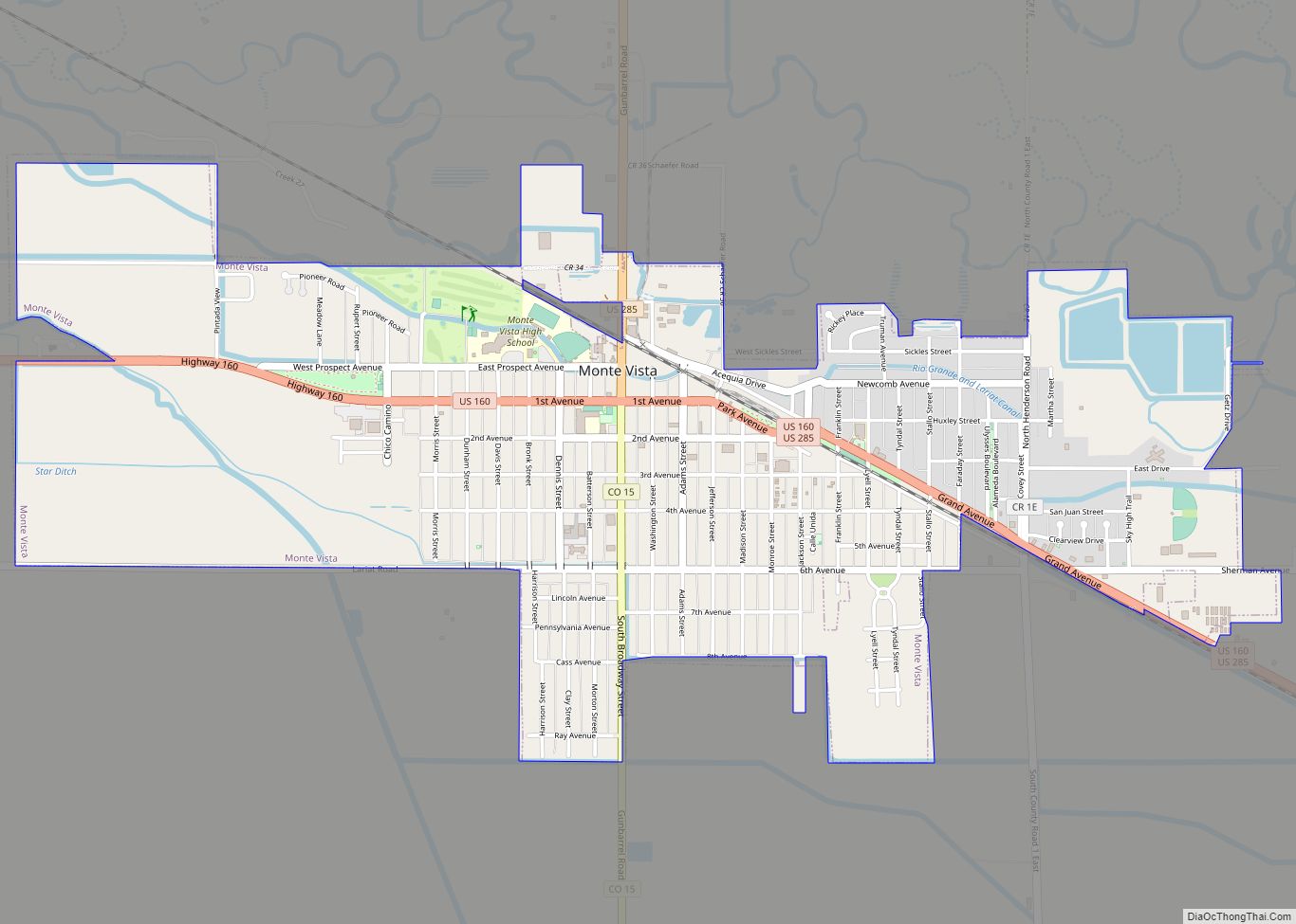
| Largest city: | Monte Vista |
| Total Area: | 912 sq mi (2,360 km²) |
| Land Area: | 912 sq mi (2,360 km²) |
| Total Population: | 11,408 |
| Population Density: | 13/sq mi (5/km²) |
| Time zone: | UTC−7 (Mountain) |
| Summer Time Zone (DST): | UTC−6 (MDT) |
| Website: | www.riograndecounty.org |
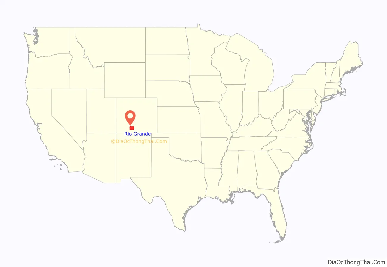
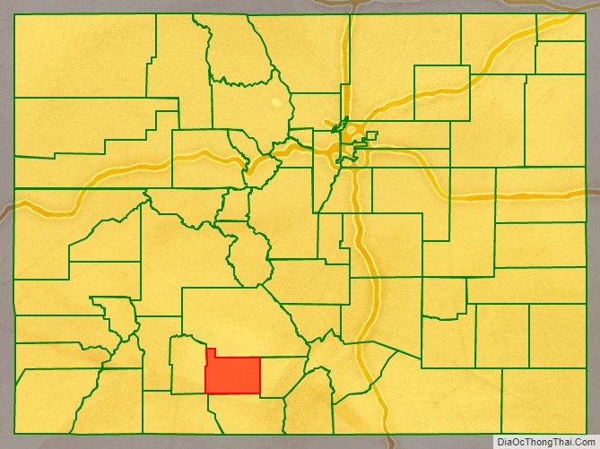
Rio Grande County location map. Where is Rio Grande County?
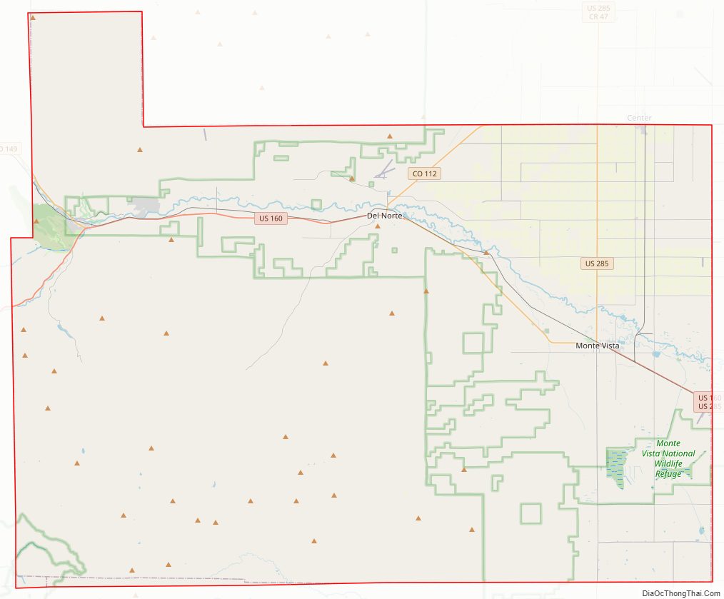
Rio Grande County Road Map
Geography
According to the U.S. Census Bureau, the county has a total area of 912 square miles (2,360 km), of which 912 square miles (2,360 km) is land and 0.4 square miles (1.0 km) (0.04%) is water.
Adjacent counties
- Saguache County – north
- Alamosa County – east
- Conejos County – south
- Archuleta County – southwest
- Mineral County – west
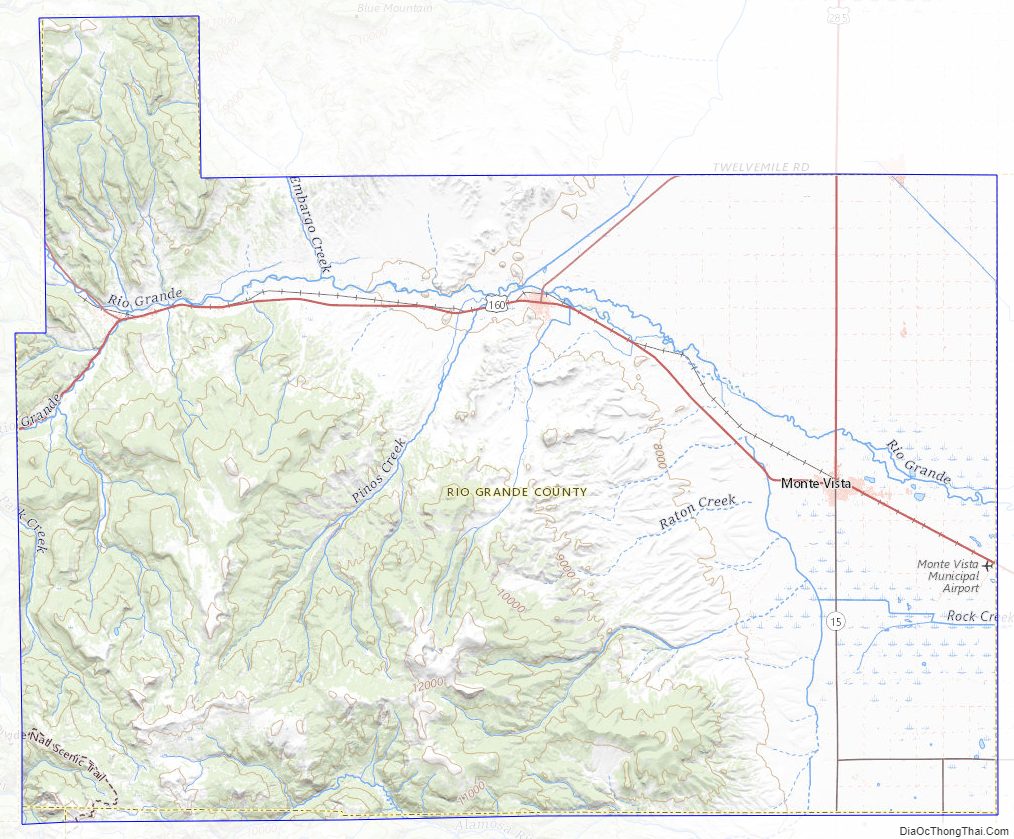
Major Highways
- U.S. Highway 160
- U.S. Highway 285
- State Highway 15
- State Highway 112
- State Highway 149
- State Highway 368
- State Highway 370
National protected areas
- Monte Vista National Wildlife Refuge
- Rio Grande National Forest
Trails and byways
- Continental Divide National Scenic Trail
- Old Spanish National Historic Trail
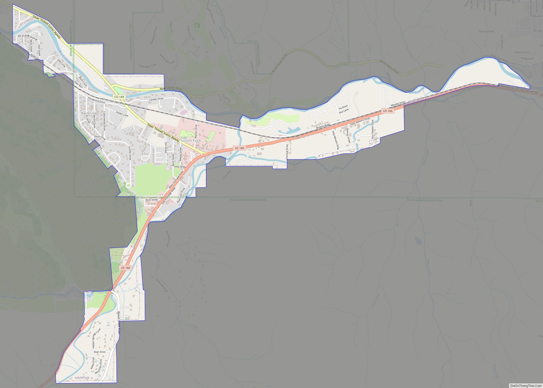
- Silver Thread Scenic Byway
Rio Grande County Topographic Map
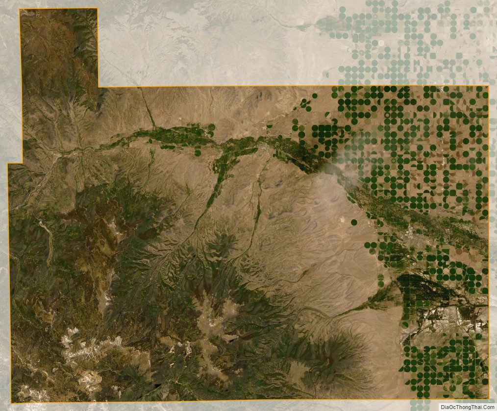
Rio Grande County Satellite Map
Rio Grande County Outline Map