The City of Monte Vista is the home rule municipality that is the most populous municipality in Rio Grande County, Colorado, United States. The city population was 4,247 at the 2020 Census.
| Name: | Monte Vista city |
|---|---|
| LSAD Code: | 25 |
| LSAD Description: | city (suffix) |
| State: | Colorado |
| County: | Rio Grande County |
| Incorporated: | September 27, 1886 |
| Elevation: | 7,664 ft (2,336 m) |
| Total Area: | 2.65 sq mi (6.87 km²) |
| Land Area: | 2.63 sq mi (6.82 km²) |
| Water Area: | 0.02 sq mi (0.05 km²) |
| Total Population: | 4,247 |
| Population Density: | 1,600/sq mi (620/km²) |
| ZIP code: | 81135 (PO Box), 81144 |
| Area code: | 719 |
| FIPS code: | 0851635 |
| GNISfeature ID: | 0204764 |
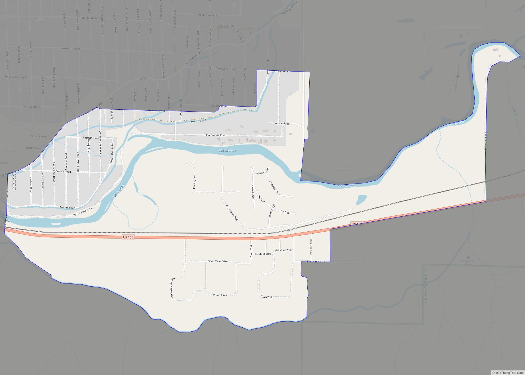
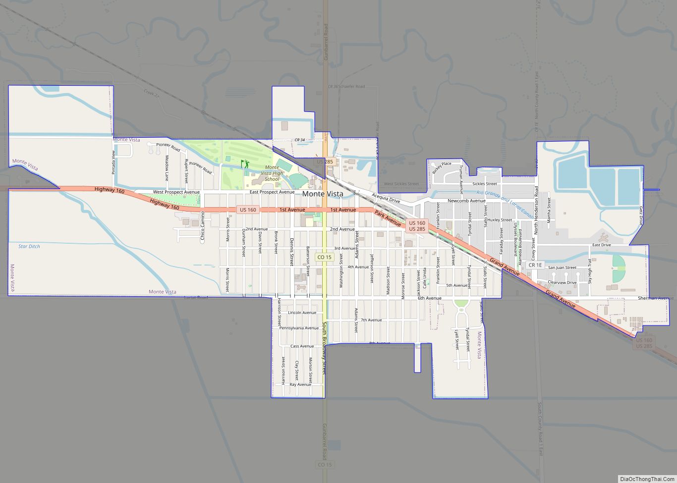
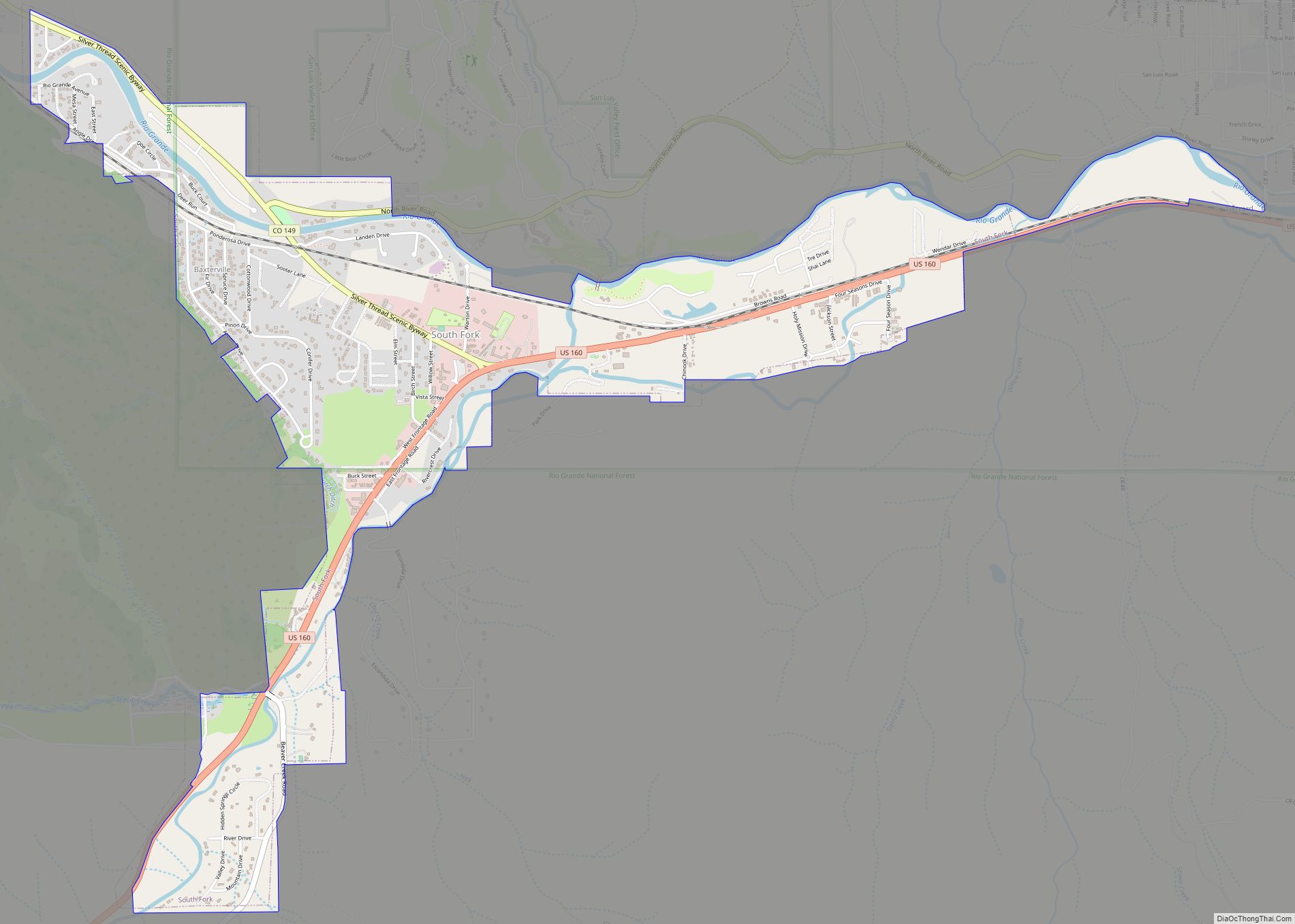
Online Interactive Map
Click on ![]() to view map in "full screen" mode.
to view map in "full screen" mode.
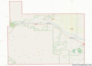
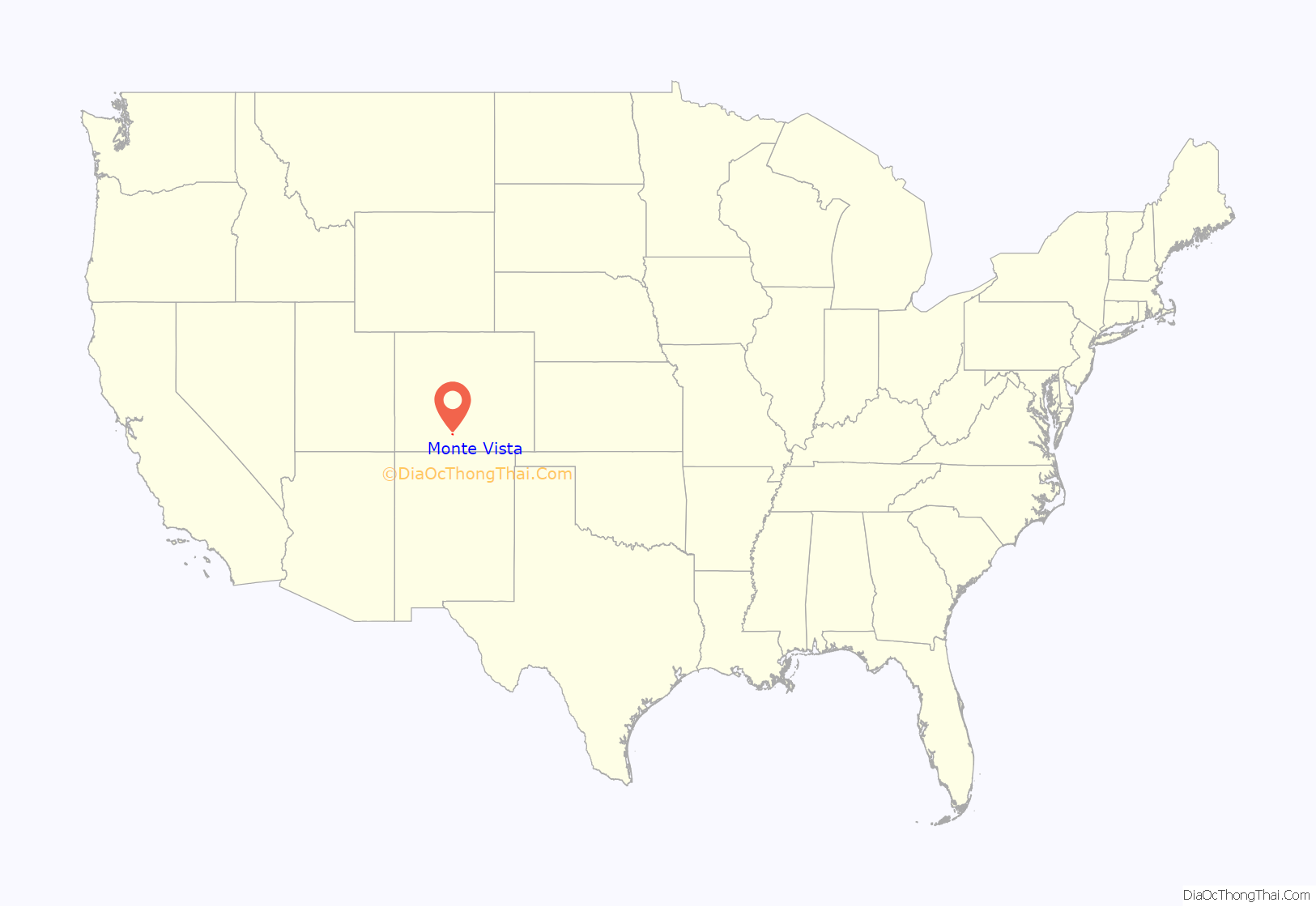
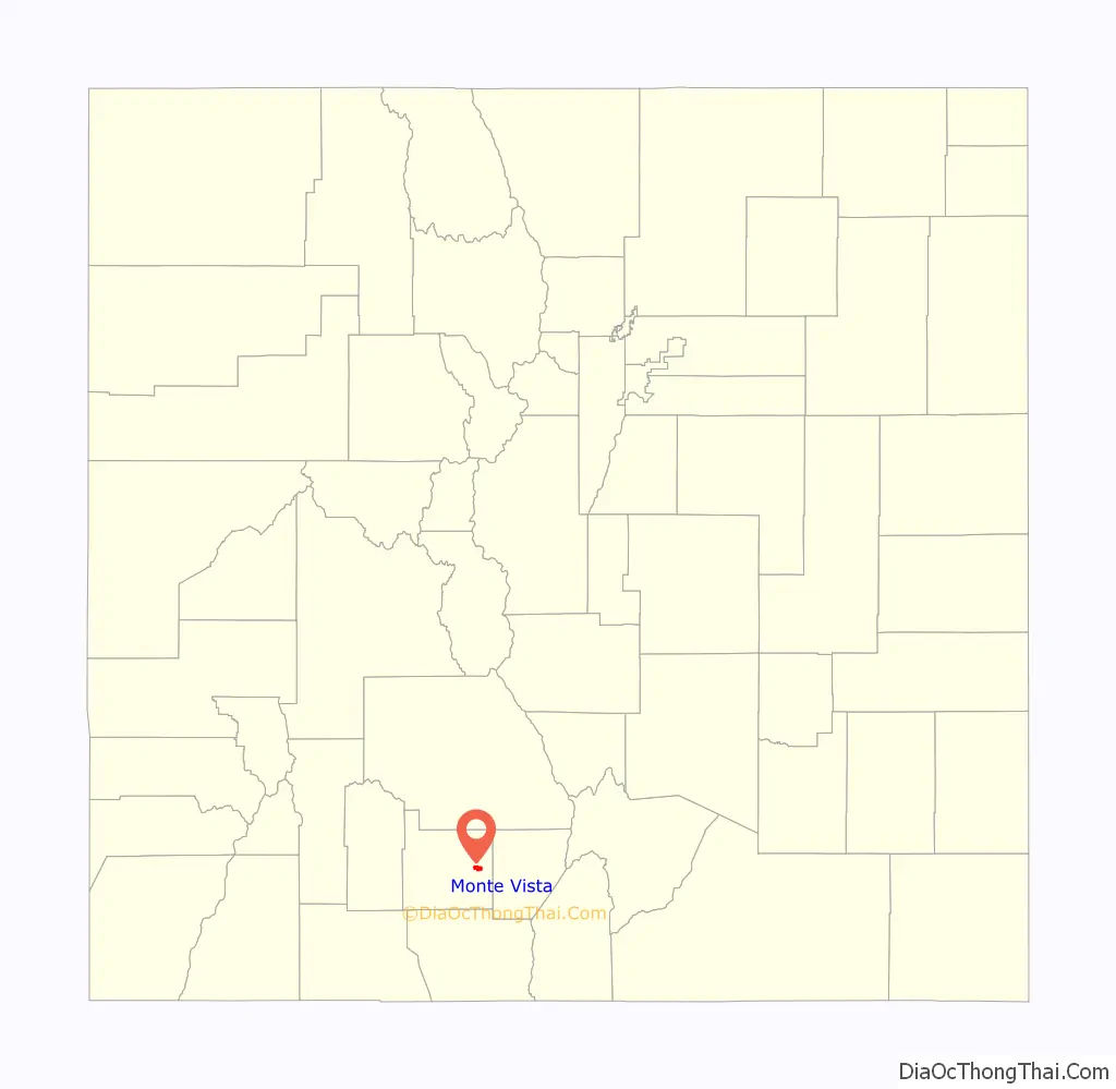
Monte Vista location map. Where is Monte Vista city?
History
Monte Vista was laid out in 1884. The site had previously served as a watering stop for the Denver and Rio Grande Western Railroad. Monte Vista is the Spanish translation of “mountain view.”
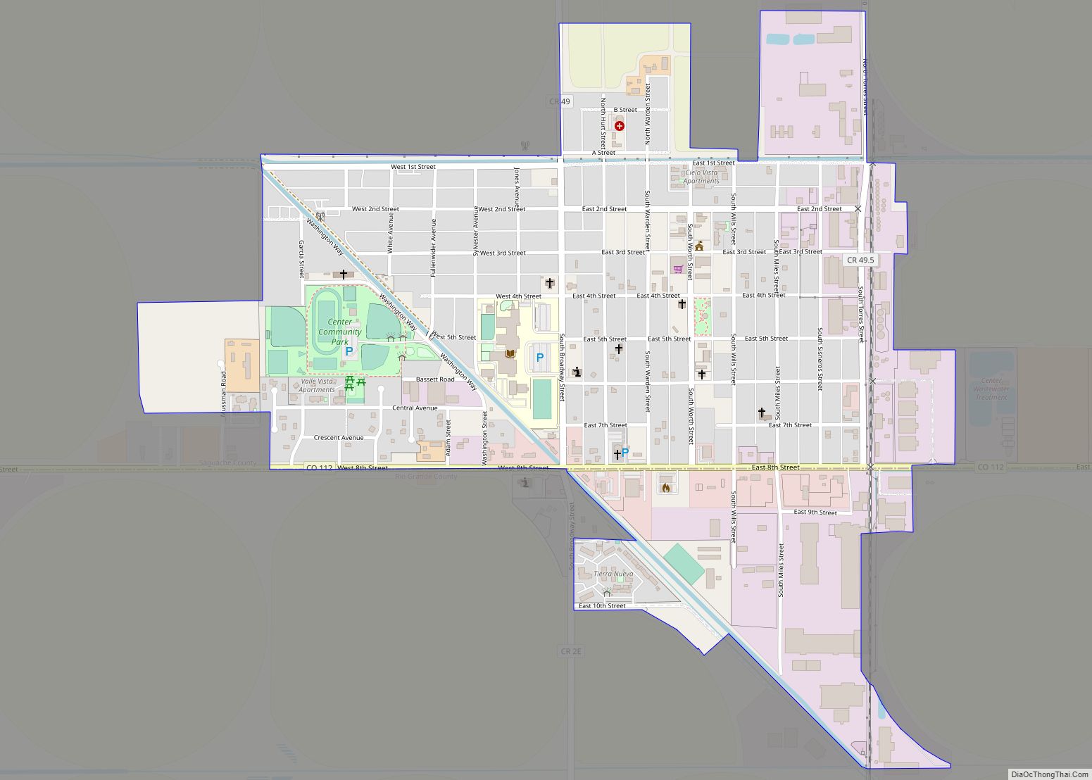
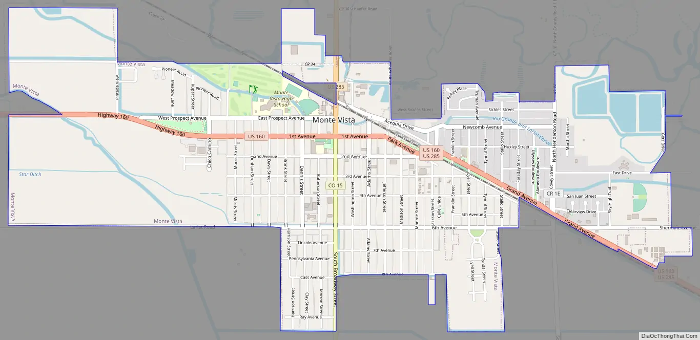
Monte Vista Road Map
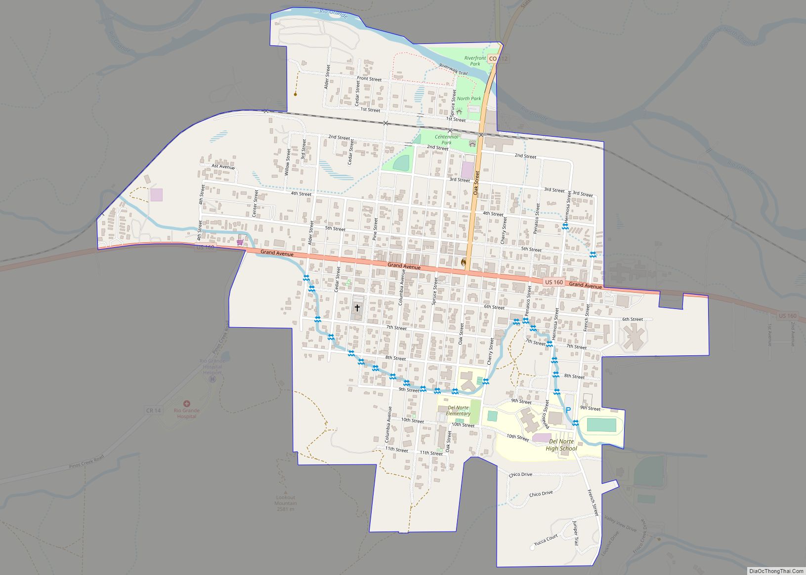
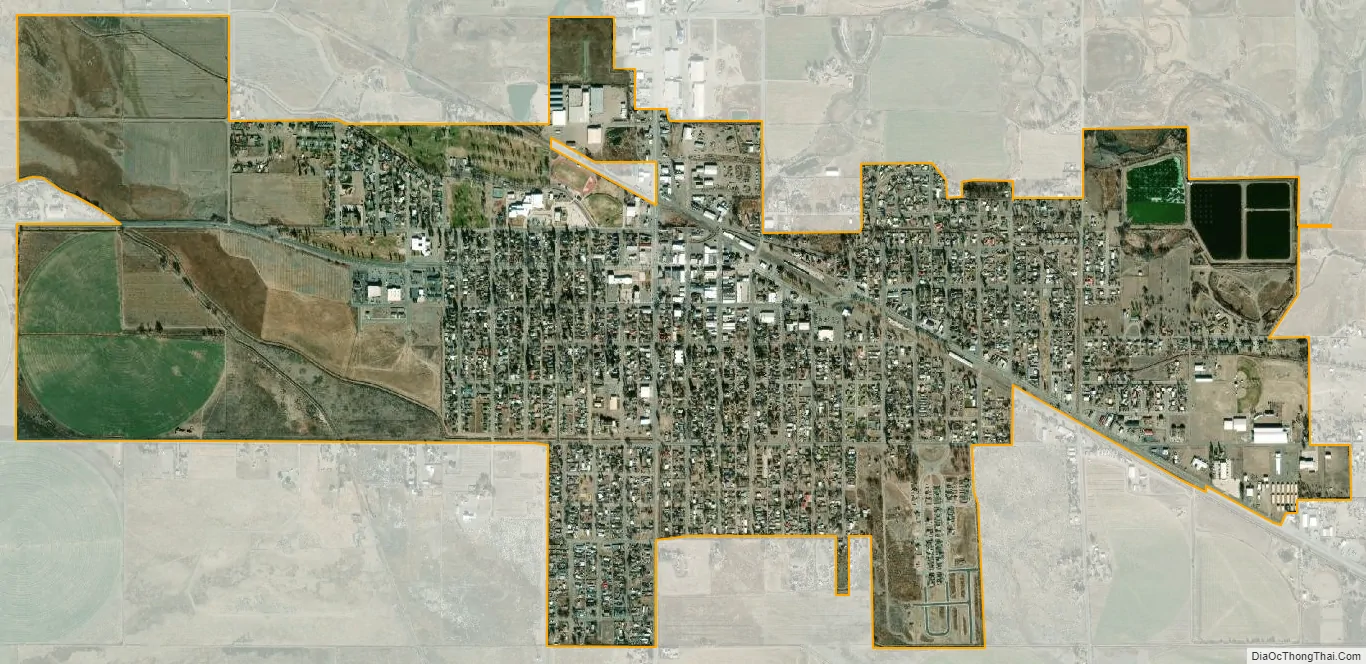
Monte Vista city Satellite Map
Geography
Monte Vista is located in the San Luis Valley at 37°34′38″N 106°8′45″W / 37.57722°N 106.14583°W / 37.57722; -106.14583 (37.577287, -106.145828).
According to the United States Census Bureau, the city has a total area of 2.0 square miles (5.2 km), of which, 1.9 square miles (4.9 km) is land and 0.1 square miles (0.26 km) (2.56%) is water.
See also
Map of Colorado State and its subdivision:- Adams
- Alamosa
- Arapahoe
- Archuleta
- Baca
- Bent
- Boulder
- Broomfield
- Chaffee
- Cheyenne
- Clear Creek
- Conejos
- Costilla
- Crowley
- Custer
- Delta
- Denver
- Dolores
- Douglas
- Eagle
- El Paso
- Elbert
- Fremont
- Garfield
- Gilpin
- Grand
- Gunnison
- Hinsdale
- Huerfano
- Jackson
- Jefferson
- Kiowa
- Kit Carson
- La Plata
- Lake
- Larimer
- Las Animas
- Lincoln
- Logan
- Mesa
- Mineral
- Moffat
- Montezuma
- Montrose
- Morgan
- Otero
- Ouray
- Park
- Phillips
- Pitkin
- Prowers
- Pueblo
- Rio Blanco
- Rio Grande
- Routt
- Saguache
- San Juan
- San Miguel
- Sedgwick
- Summit
- Teller
- Washington
- Weld
- Yuma
- Alabama
- Alaska
- Arizona
- Arkansas
- California
- Colorado
- Connecticut
- Delaware
- District of Columbia
- Florida
- Georgia
- Hawaii
- Idaho
- Illinois
- Indiana
- Iowa
- Kansas
- Kentucky
- Louisiana
- Maine
- Maryland
- Massachusetts
- Michigan
- Minnesota
- Mississippi
- Missouri
- Montana
- Nebraska
- Nevada
- New Hampshire
- New Jersey
- New Mexico
- New York
- North Carolina
- North Dakota
- Ohio
- Oklahoma
- Oregon
- Pennsylvania
- Rhode Island
- South Carolina
- South Dakota
- Tennessee
- Texas
- Utah
- Vermont
- Virginia
- Washington
- West Virginia
- Wisconsin
- Wyoming