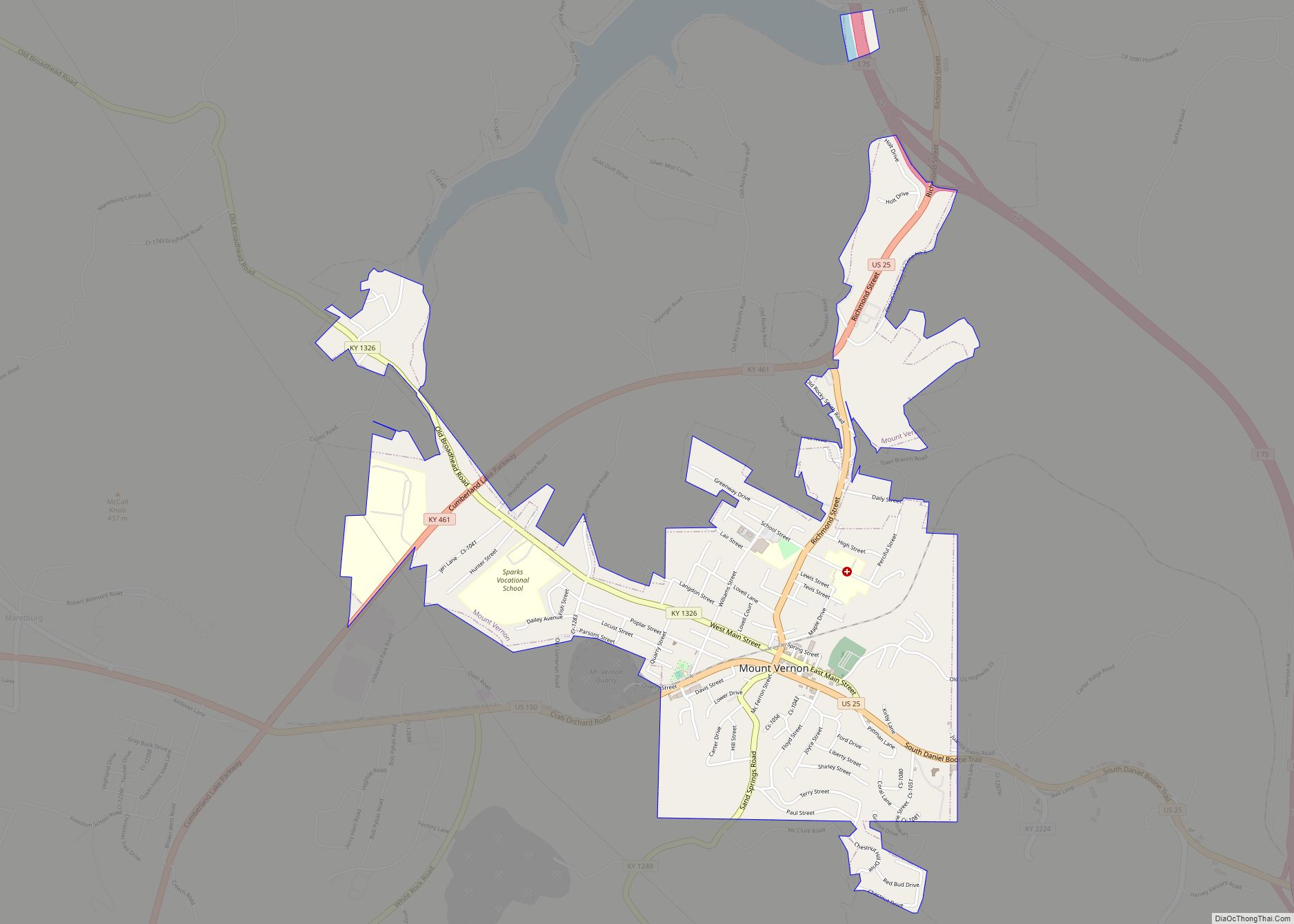
Mount Vernon is a home rule-class city and the seat of Rockcastle County in southeastern Kentucky. The intersection of U.S. Routes 25 and 150 is located here. The population was 2,477 at the time of the 2010 U.S. census. Mount Vernon is part of the Richmond-Berea micropolitan area.
| Name: | Mount Vernon city |
|---|---|
| LSAD Code: | 25 |
| LSAD Description: | city (suffix) |
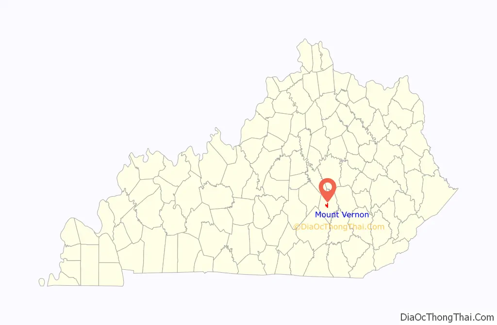
| State: | Kentucky |
| County: | Rockcastle County |
| Incorporated: | 1818 |
| Elevation: | 1,181 ft (360 m) |
| Total Area: | 2.83 sq mi (7.32 km²) |
| Land Area: | 2.81 sq mi (7.29 km²) |
| Water Area: | 0.01 sq mi (0.03 km²) |
| Total Population: | 2,453 |
| Population Density: | 871.71/sq mi (336.52/km²) |
| ZIP code: | 40456 |
| Area code: | 606 |
| FIPS code: | 2154174 |
| GNISfeature ID: | 0514113 |
| Website: | mtvernonky.org |
Online Interactive Map
Click on ![]() to view map in "full screen" mode.
to view map in "full screen" mode.
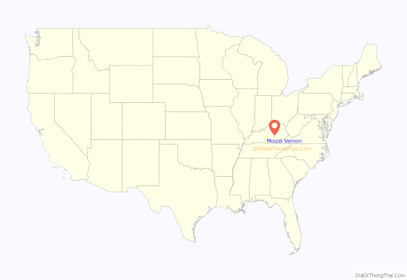
Mount Vernon location map. Where is Mount Vernon city?
History
The area was first settled by European Americans in 1790 after the American Revolutionary War, around a feature called Spout Springs. Much of the area was originally swampland. The settlement was named for George Washington’s home, Mount Vernon. The Wilderness Road was constructed to this town in 1792, and this was the principal settlement when Rockcastle Co. was created in 1810.
In 1883, an L&N spur was built through the town, connecting it by rail to Louisville and Knoxville. The county’s first newspaper, the Mount Vernon Signal, began publication in 1887. Although it was still a largely rural town and county in the late 20th century, the construction of I-75 in the 1970s has drawn some industry to the area. The population has increased about 50% from 1,639 in 1970.
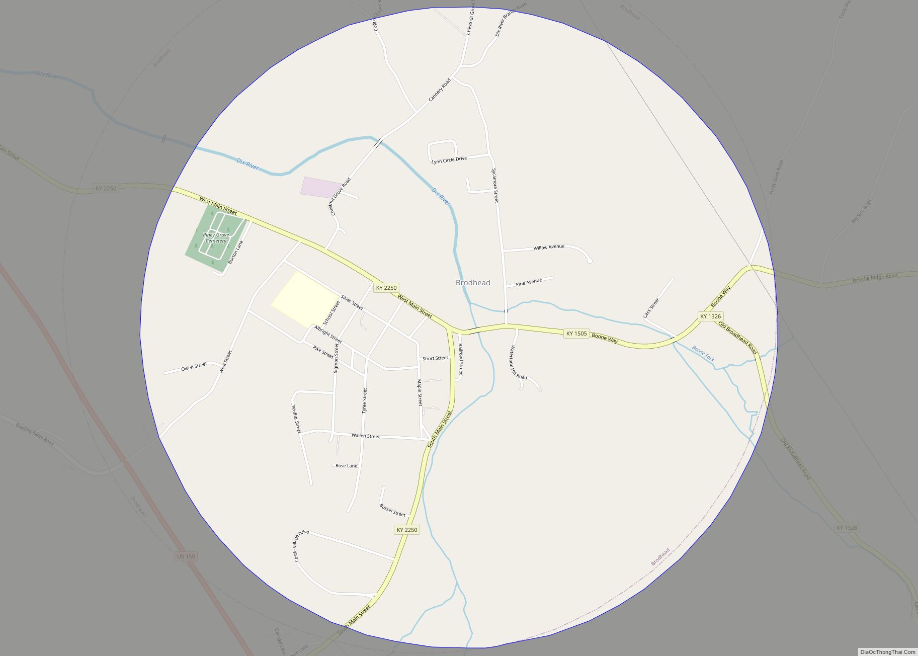
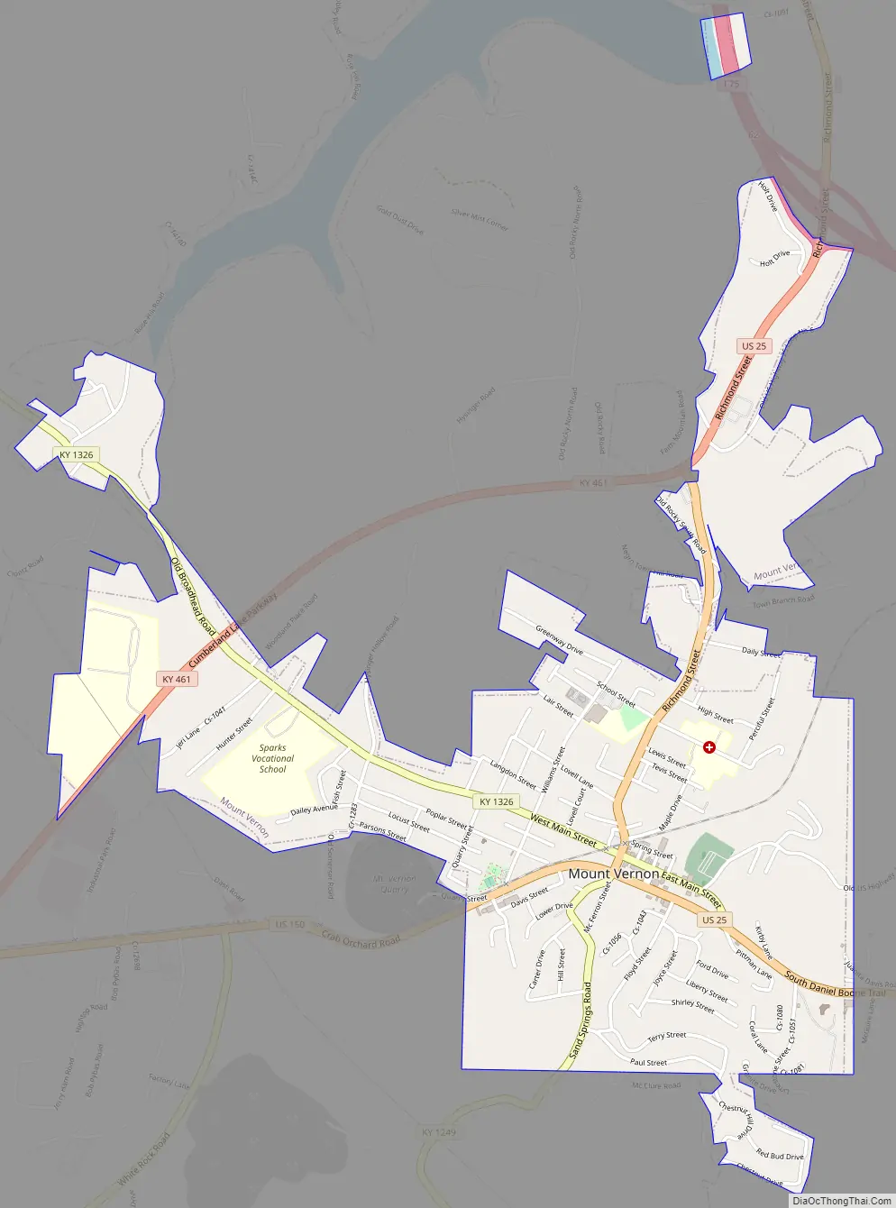
Mount Vernon Road Map
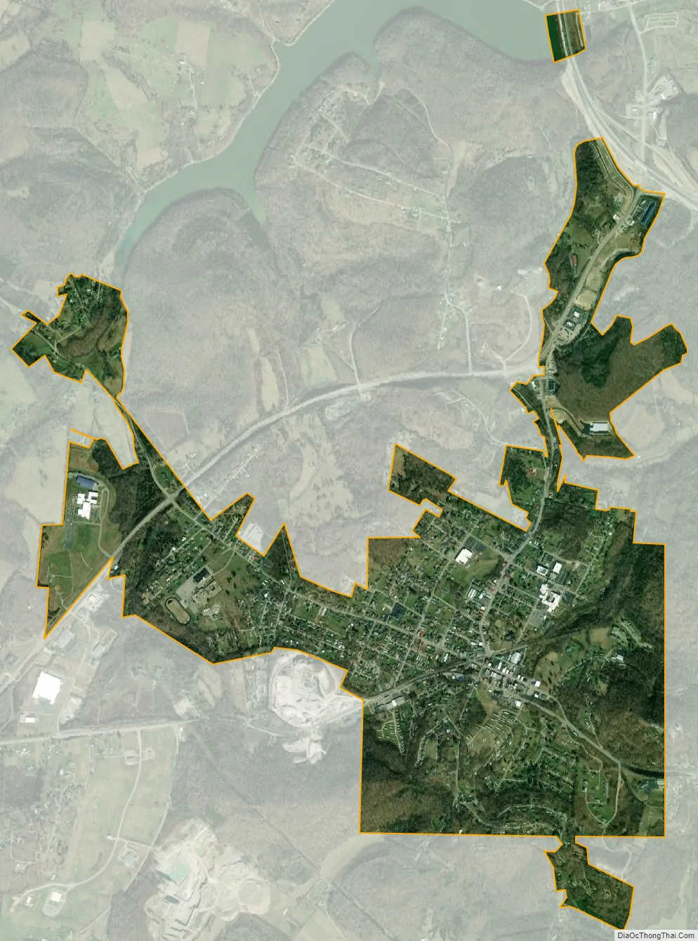
Mount Vernon city Satellite Map
Geography
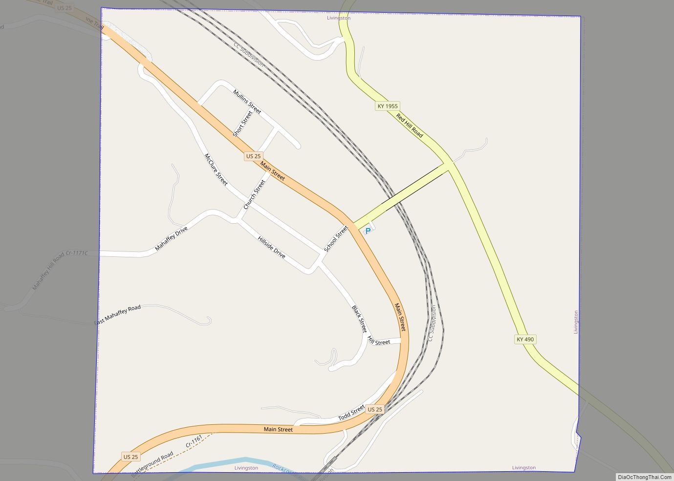
Mount Vernon is located at 37°22′1″N 84°20′15″W / 37.36694°N 84.33750°W / 37.36694; -84.33750 (37.367018, -84.337409). The city is located within the Cumberland Plateau region of the state along Interstate 75 and U.S. Routes 25 and 150. I-75 runs to the east of the city, with access from exits 59 and 62. Via I-75, Lexington is 55 mi (89 km) north, and Knoxville, Tennessee is 119 mi (192 km) south. U.S. 25 meets U.S. 150 in the center of town, with U.S. 25 leading north 17 mi (27 km) to Berea and southeast 9 mi (14 km) to Livingston, and U.S. 150 leading northwest 25 mi (40 km) to Stanford.
According to the United States Census Bureau, the city has a total area of 3.7 square miles (9.6 km), of which 3.2 square miles (8.3 km) is land and 0.5 square miles (1.3 km) (14.56%) is water.
See also
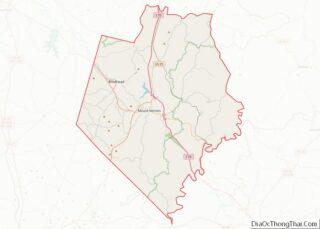
Map of Kentucky State and its subdivision:- Adair
- Allen
- Anderson
- Ballard
- Barren
- Bath
- Bell
- Boone
- Bourbon
- Boyd
- Boyle
- Bracken
- Breathitt
- Breckinridge
- Bullitt
- Butler
- Caldwell
- Calloway
- Campbell
- Carlisle
- Carroll
- Carter
- Casey
- Christian
- Clark
- Clay
- Clinton
- Crittenden
- Cumberland
- Daviess
- Edmonson
- Elliott
- Estill
- Fayette
- Fleming
- Floyd
- Franklin
- Fulton
- Gallatin
- Garrard
- Grant
- Graves
- Grayson
- Green
- Greenup
- Hancock
- Hardin
- Harlan
- Harrison
- Hart
- Henderson
- Henry
- Hickman
- Hopkins
- Jackson
- Jefferson
- Jessamine
- Johnson
- Kenton
- Knott
- Knox
- Larue
- Laurel
- Lawrence
- Lee
- Leslie
- Letcher
- Lewis
- Lincoln
- Livingston
- Logan
- Lyon
- Madison
- Magoffin
- Marion
- Marshall
- Martin
- Mason
- McCracken
- McCreary
- McLean
- Meade
- Menifee
- Mercer
- Metcalfe
- Monroe
- Montgomery
- Morgan
- Muhlenberg
- Nelson
- Nicholas
- Ohio
- Oldham
- Owen
- Owsley
- Pendleton
- Perry
- Pike
- Powell
- Pulaski
- Robertson
- Rockcastle
- Rowan
- Russell
- Scott
- Shelby
- Simpson
- Spencer
- Taylor
- Todd
- Trigg
- Trimble
- Union
- Warren
- Washington
- Wayne
- Webster
- Whitley
- Wolfe
- Woodford
- Alabama
- Alaska
- Arizona
- Arkansas
- California
- Colorado
- Connecticut
- Delaware
- District of Columbia
- Florida
- Georgia
- Hawaii
- Idaho
- Illinois
- Indiana
- Iowa
- Kansas
- Kentucky
- Louisiana
- Maine
- Maryland
- Massachusetts
- Michigan
- Minnesota
- Mississippi
- Missouri
- Montana
- Nebraska
- Nevada
- New Hampshire
- New Jersey
- New Mexico
- New York
- North Carolina
- North Dakota
- Ohio
- Oklahoma
- Oregon
- Pennsylvania
- Rhode Island
- South Carolina
- South Dakota
- Tennessee
- Texas
- Utah
- Vermont
- Virginia
- Washington
- West Virginia
- Wisconsin
- Wyoming