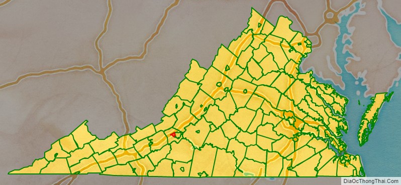
Salem is an independent city in the U.S. commonwealth of Virginia. As of the 2020 census, the population was 25,346. It is the county seat of Roanoke County, although the two are separate jurisdictions. The Bureau of Economic Analysis combines the city of Salem with Roanoke County, which surrounds both Salem and the neighboring City of Roanoke, for statistical purposes. Salem has its own courthouse and sheriff’s office, but shares a jail with Roanoke County, which is located in the Roanoke County Courthouse complex in Salem. The Roanoke County Sheriff’s Office and Roanoke County Department of Social Services are also located within Salem, though the county administrative offices are located in unincorporated Cave Spring.
Roanoke College is located in the city. Salem is also the home to a minor league baseball team, the Salem Red Sox.
| Name: | Salem City |
|---|---|
| FIPS code: | 51-775 |
| State: | Virginia |
| Total Area: | 14.62 sq mi (37.88 km²) |
| Land Area: | 14.52 sq mi (37.60 km²) |
| Total Population: | 25,346 |
| Population Density: | 1,700/sq mi (670/km²) |
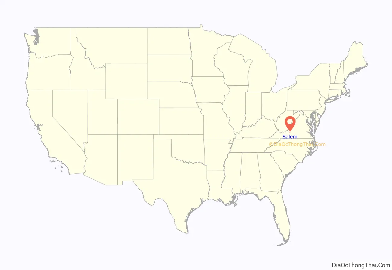
Salem City location map. Where is Salem City?
History
The earliest history of Salem exists as archaeological evidence of Native American tribes from as far back as 8000 B.C. until the middle of the 18th century. Europeans first explored the area of Salem in 1671, when the Siouan-speaking Totero people had a village nearby. Explorers Thomas Batts and Robert Fallam gave the area its first recorded name: Totero Town, after this tribe, who supplied them with a guide to help with further exploration. Fort Lewis, named for General Andrew Lewis, of what is now Roanoke County, was built west of the town in 1752. Salem’s Andrew Lewis Middle School (formerly Andrew Lewis High School) was named after General Lewis. Salem became a small settlement serving travelers on the Great Road (roughly the same path followed by US-11 and later Interstate 81 today) and was officially founded in 1802, receiving its charter in 1806. It is not known why the town was named Salem; the most widely accepted explanation is that it was named to honor William Bryan, a prominent citizen, who had moved from Salem, New Jersey.
Salem was attacked twice by the Union Army during the American Civil War, but its Salem Flying Artillery is said to have fired the last Confederate shot at Appomattox Court House prior to Robert E. Lee’s surrender.
One of the city’s four elementary schools is named after African American scientist G. W. Carver. Before integration, this was the high school for African Americans in Salem.
Salem annexed South Salem in 1953 and also an eastern tract in 1960, giving it a population of 16,058 – making it Virginia’s largest town at the time. Salem officially became a city on December 31, 1967, to avoid the possibility of annexation into the city of Roanoke. Per the Virginia constitution, it was separated from Roanoke County. However, it remains the official county seat, although the Roanoke County Administrative Building is located in the Cave Spring area of the county.
Salem has been the home of two colleges. In 1847, the Virginia Institute, a boy’s preparatory school, moved to Salem from Staunton. It received a college charter in 1853 and was renamed Roanoke College for the Roanoke Valley. The college is located in central Salem, one block north of Main Street. Roanoke Women’s College, later named Elizabeth College, operated between 1912 and 1922. The college burned in late 1921 and did not reopen. Like Roanoke College, it was affiliated with the Evangelical Lutheran Church in America. The Elizabeth College campus is now the site of residence halls and athletic fields that belong to Roanoke College.
Salem is home to the Salem Red Sox, a Class-A affiliate to the Boston Red Sox. The Amos Alonzo Stagg Bowl, the NCAA Division III Football Championship game was held at Salem Football Stadium between 1993 and 2016. Salem’s success in holding that event led the NCAA to also move the NCAA Men’s Division III Basketball Championship and the NCAA Division III Volleyball Championship to the Salem Civic Center and the Women’s NCAA Division III Softball Championship to Moyer Field. In August 2007, the Salem Football Stadium also hosted the Southwestern Virginia Educational Classic. This game is played annually in the Roanoke Valley and consists of two football teams from Historically Black Colleges and Universities. The city hosts several other statewide, regional, and national sporting events at its facilities. These events are attracted by the city’s hospitality, modern facilities and overall support. Salem High School, is also known for its athletic programs, particularly the football team which has won ten state championships since 1996, and also the forensics team, which has won fourteen consecutive state championships.
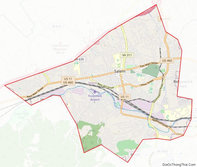
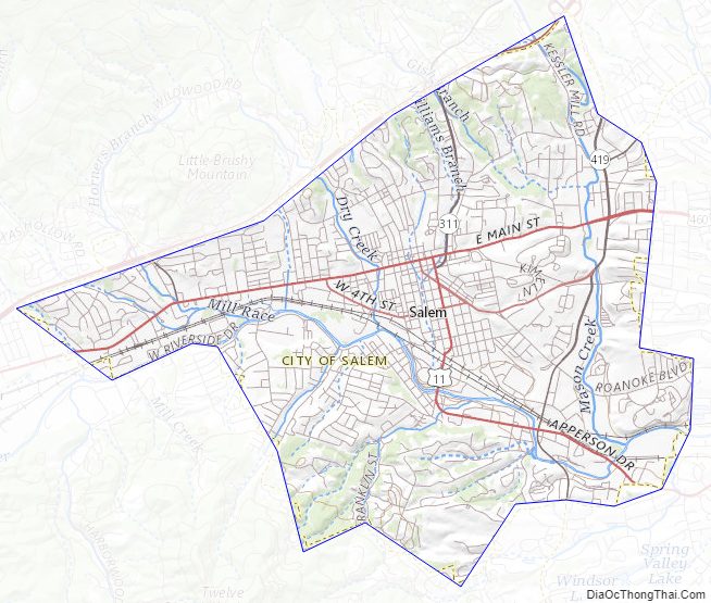
Salem City Road Map
Geography
Salem is located at 37°17′12″N 80°3′21″W / 37.28667°N 80.05583°W / 37.28667; -80.05583 (37.286895, -80.055836).
According to the United States Census Bureau, the city has a total area of 14.5 square miles (37.6 km), of which 14.4 square miles (37.3 km) is land and 0.1 square miles (0.3 km) (0.7%) is water.
Salem City Topographic Map
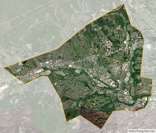
Salem City Satellite Map
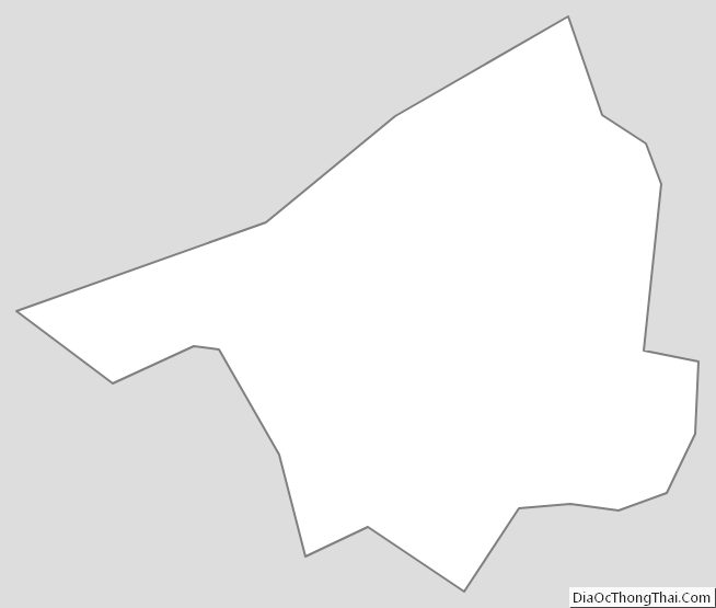
Salem City Outline Map