Salem is a city in Salem County, in the U.S. state of New Jersey. It is the county seat of Salem County, the state’s most rural county. The name Salem, for both the city and county, is derived from the Hebrew word shalom, meaning peace. As of the 2020 United States census, the city’s population was 5,296, an increase of 150 (+2.9%) from the 2010 census count of 5,146, which in turn reflected a decrease of 711 (−12.1%) from the 5,857 counted in the 2000 census. Salem is part of the Delaware Valley or Philadelphia greater metropolitan area.
The town and colony of Salem was laid out in 1675 by John Fenwick and the community was given permission to choose officers in October 1693. It was incorporated on February 21, 1798, as part of the initial group of 104 townships established by the New Jersey Legislature. On February 25, 1858, it was reincorporated as Salem City.
Salem had the second-highest property tax rate in New Jersey, with an equalized rate of 6.519% in 2020, compared to 3.476% in Salem County and a statewide average of 2.279%.
| Name: | Salem city |
|---|---|
| LSAD Code: | 25 |
| LSAD Description: | city (suffix) |
| State: | New Jersey |
| County: | Salem County |
| Incorporated: | February 21, 1798 (as township) |
| Elevation: | 10 ft (3 m) |
| Total Area: | 2.81 sq mi (7.29 km²) |
| Land Area: | 2.34 sq mi (6.07 km²) |
| Water Area: | 0.47 sq mi (1.22 km²) 16.73% |
| Population Density: | 2,259.4/sq mi (872.4/km²) |
| ZIP code: | 08079 |
| Area code: | 856 exchanges 339, 878, 935 |
| FIPS code: | 3465490 |
| GNISfeature ID: | 0885385 |
| Website: | cityofsalemnj.gov |
Online Interactive Map
Click on ![]() to view map in "full screen" mode.
to view map in "full screen" mode.
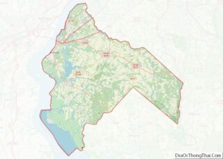
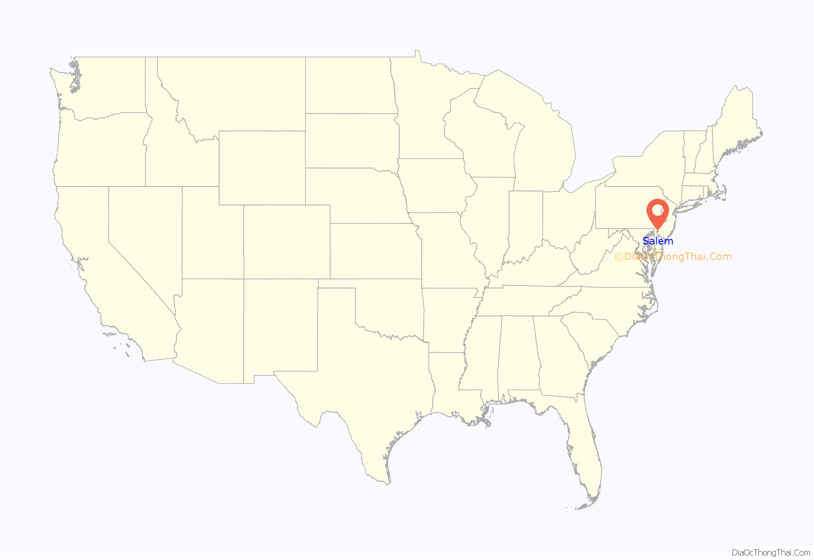
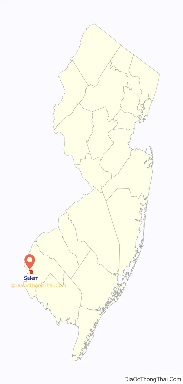
Salem location map. Where is Salem city?
History
Salem was founded by John Fenwick, a Quaker. Fenwick had been involved in a financial dispute with an Edward Byllynge, another Quaker, who had received the undivided portion of New Jersey territory that James Stuart, Duke of York had granted to Lord John Berkeley in 1664. Berkeley had sold his share to Byllynge in 1675 for 1,000 pounds, but Byllynge had become bankrupt and so had the property turned over to Fenwick to hold for Byllynge and his assigns in trust. Byllynge and Fenwick came to disagree over the property.
William Penn was asked to adjudicate the matter and he awarded 90% of the claim to Byllynge and the remaining 10% and a cash settlement to Fenwick for his share. Fenwick was dissatisfied with Penn’s judgement and refused to abide by the decision; essentially Fenwick had no assurance that a previously bankrupt man would convey ten percent of the net proceeds of the future venture since he had not even paid the adjudicated cash settlement. So Fenwick organized a colony of settlers and sailed to the Delaware Bay where he settled as Patroon on the eastern shore near the abandoned Swedish settlement of Fort Nya Elfsborg and set himself up as the local governor of the fifth Tenth (approximately 20% of the original Edward Byllynge property), issuing land patents and enforcing his own laws in defiance of Byllynge and Penn. Byllynge countered by suing Fenwick, causing uncertainty in the chain of land title. The economic damages to those who controlled property within and near Salem caused many injured persons over the next decade to declare a long line of complaints and lawsuits in the colonial courts. To preserve Salem, its inhabitants and their property, Fenwick remained under arrest for months until copies of documents proving his claims were obtained from England. Fenwick ultimately proved the right of his claim in the court of Dominion Governor Andros, and returned to govern the Salem tenth by 1689. Salem remained as a settlement and continued growing.
In 1778, the British launched an assault against the local American militia in what became known as the Salem Raid. During that assault, Judge William Hancock of the King’s Court who was presiding at the County Courthouse at the beginning of the American Revolutionary War, was accidentally killed by the British troops as part of the assault that became known as the Hancock House Massacre. After the war concluded, treason trials were held at the county courthouse where suspected Loyalists were put on trial for having allegedly aided the British raid of Salem. Four men were convicted and sentenced to death for treason; however, they were pardoned by Governor William Livingston and exiled from New Jersey.
Salem was formally incorporated on February 21, 1798, as one of the state’s initial group of 104 townships by the New Jersey Legislature’s Township Act of 1798.
The Old County Courthouse was the site of the legend of Colonel Robert Gibbon Johnson proving the edibility of the tomato. According to legend, Colonel Johnson stood upon the courthouse steps in 1820 and ate tomatoes in front of a large amazed crowd assembled to watch him do so. However, the legend did not appear in print until 1948 and modern scholars doubt the veracity of this story.
Historical buildings
The Old Salem County Courthouse serves today as the administrative offices for Salem City. It is the oldest active courthouse in New Jersey and is the second-oldest courthouse in continuous use in the United States. The Courthouse was erected in 1735 during the reign of King George II using locally manufactured bricks. The building was enlarged in 1817 and additionally enlarged and remodeled in 1908. Its distinctive bell tower is essentially unchanged and the original bell sits in the courtroom.
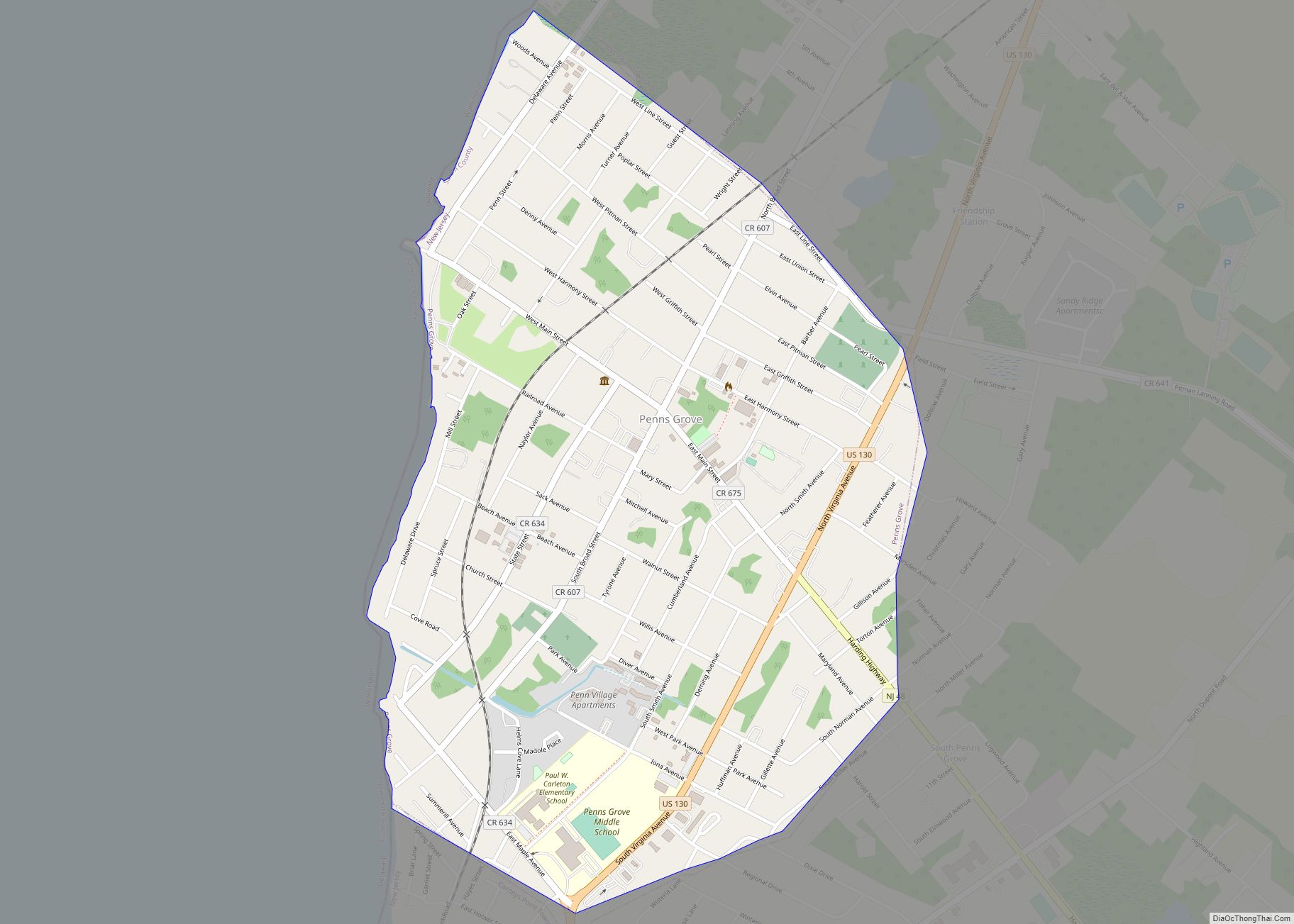
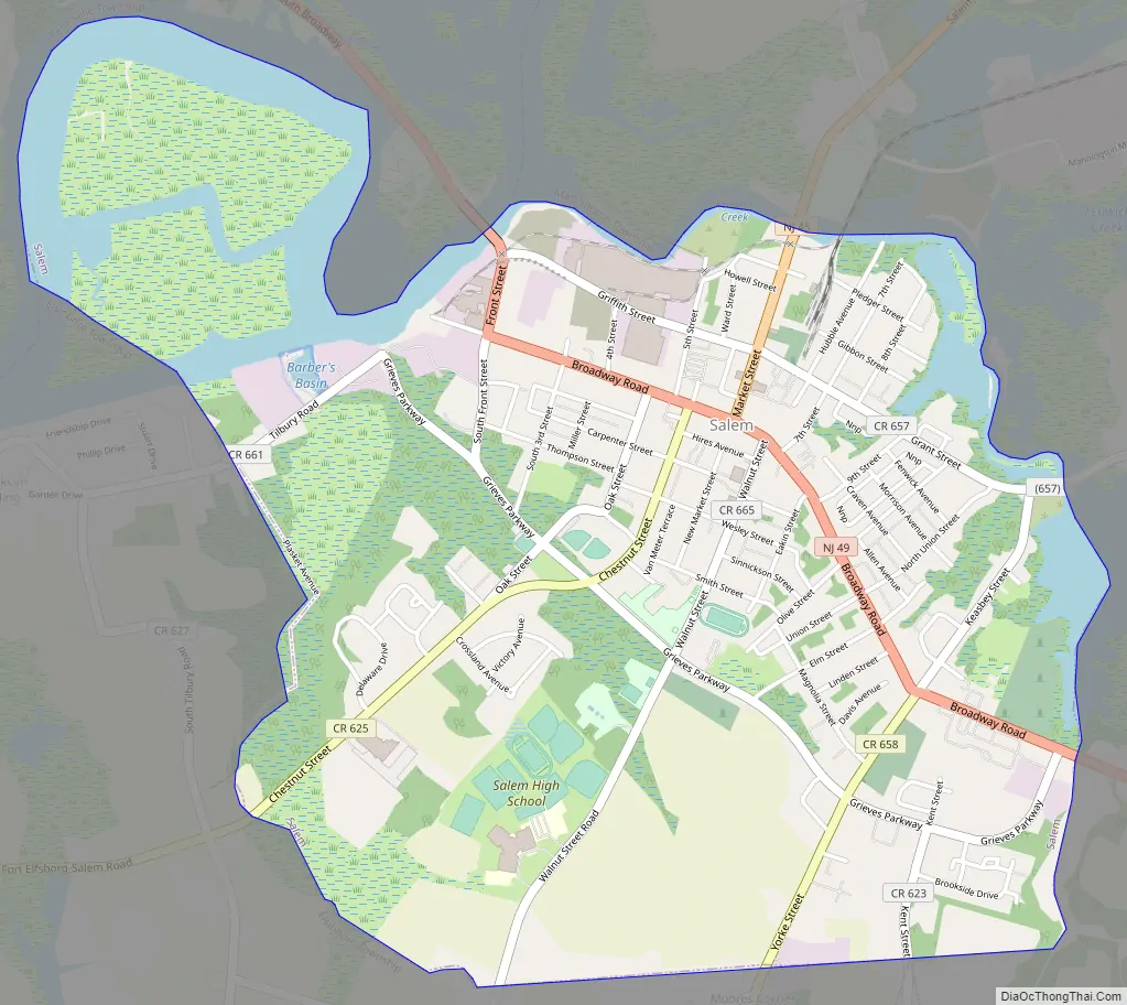
Salem Road Map
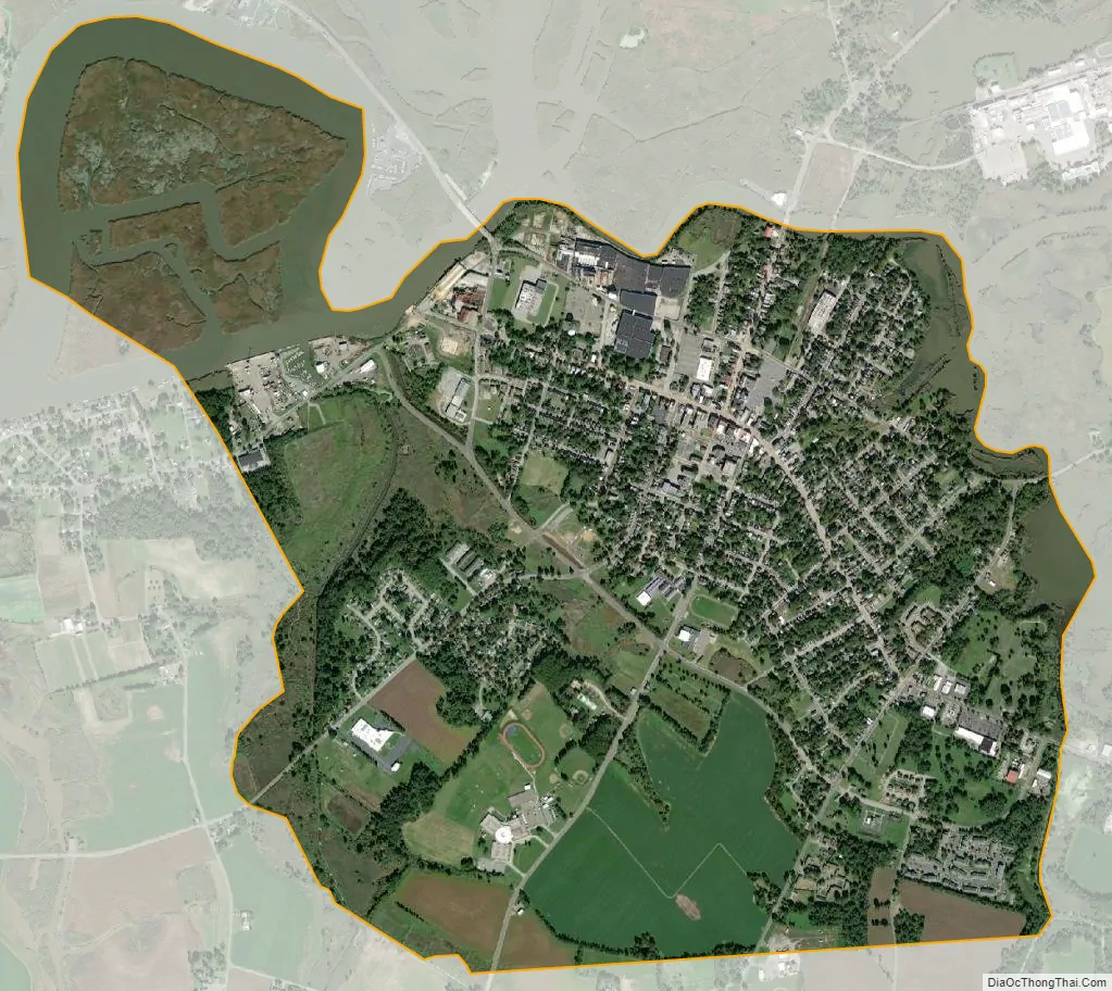
Salem city Satellite Map
Geography
Salem is located along the Salem River. According to the United States Census Bureau, the city had a total area of 2.81 square miles (7.29 km), including 2.34 square miles (6.07 km) of land and 0.47 square miles (1.22 km) of water (16.73%).
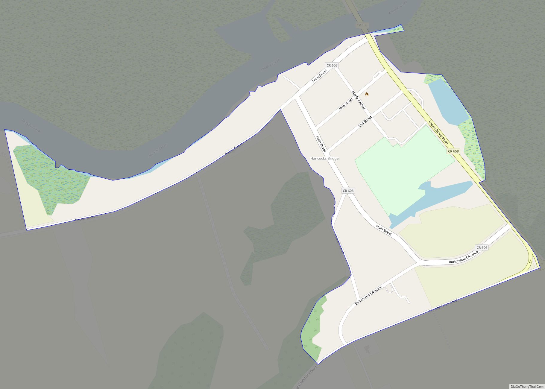
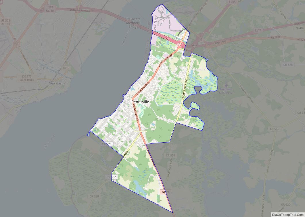
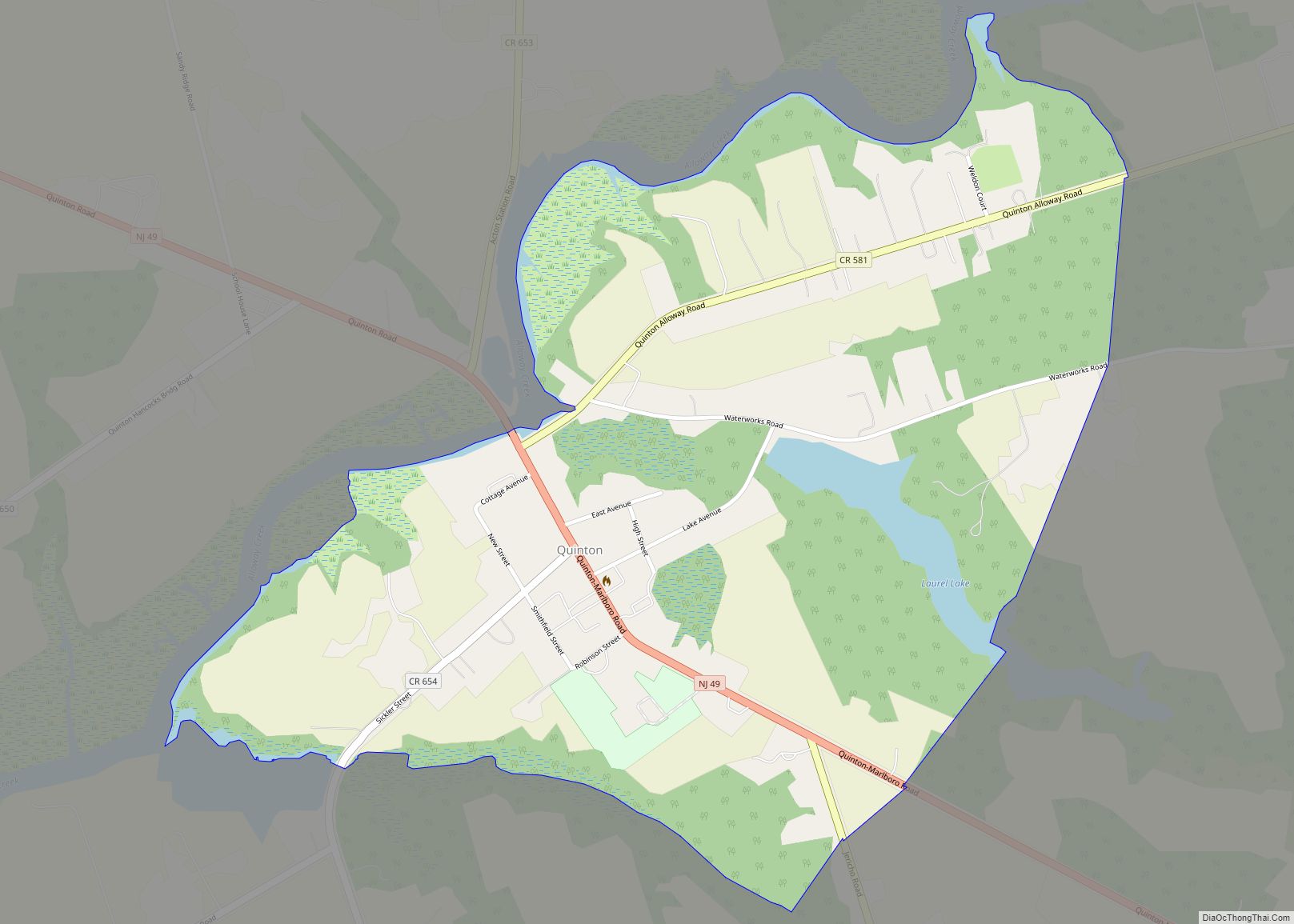
The city borders the Salem County municipalities of Elsinboro Township, Lower Alloways Creek Township, Mannington Township, Pennsville Township and Quinton Township.
Climate
The climate in the area is characterized by hot, humid summers and generally mild to cool winters. According to the Köppen Climate Classification system, Salem has a humid subtropical climate, abbreviated “Cfa” on climate maps.
See also
Map of New Jersey State and its subdivision: Map of other states:- Alabama
- Alaska
- Arizona
- Arkansas
- California
- Colorado
- Connecticut
- Delaware
- District of Columbia
- Florida
- Georgia
- Hawaii
- Idaho
- Illinois
- Indiana
- Iowa
- Kansas
- Kentucky
- Louisiana
- Maine
- Maryland
- Massachusetts
- Michigan
- Minnesota
- Mississippi
- Missouri
- Montana
- Nebraska
- Nevada
- New Hampshire
- New Jersey
- New Mexico
- New York
- North Carolina
- North Dakota
- Ohio
- Oklahoma
- Oregon
- Pennsylvania
- Rhode Island
- South Carolina
- South Dakota
- Tennessee
- Texas
- Utah
- Vermont
- Virginia
- Washington
- West Virginia
- Wisconsin
- Wyoming