San Miguel County (Spanish: Condado de San Miguel) is a county in the U.S. state of New Mexico. As of the 2010 census, the population was 29,393. Its county seat is Las Vegas.
San Miguel County comprises the Las Vegas Micropolitan Statistical Area, which is also included in the Albuquerque–Santa Fe–Las Vegas combined statistical area.
| Name: | San Miguel County |
|---|---|
| FIPS code: | 35-047 |
| State: | New Mexico |
| Founded: | January 9, 1852 |
| Named for: | San Miguel del Vado |
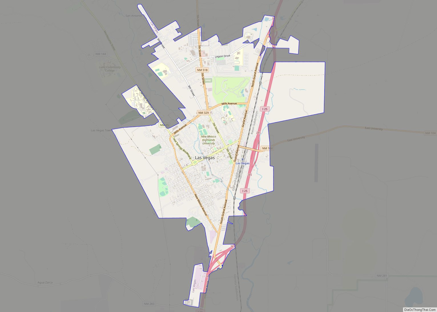
| Seat: | Las Vegas |
| Largest city: | Las Vegas |
| Total Area: | 4,736 sq mi (12,270 km²) |
| Land Area: | 4,716 sq mi (12,210 km²) |
| Total Population: | 27,150 |
| Population Density: | 6.2/sq mi (2.4/km²) |
| Time zone: | UTC−7 (Mountain) |
| Summer Time Zone (DST): | UTC−6 (MDT) |
| Website: | co.sanmiguel.nm.us |
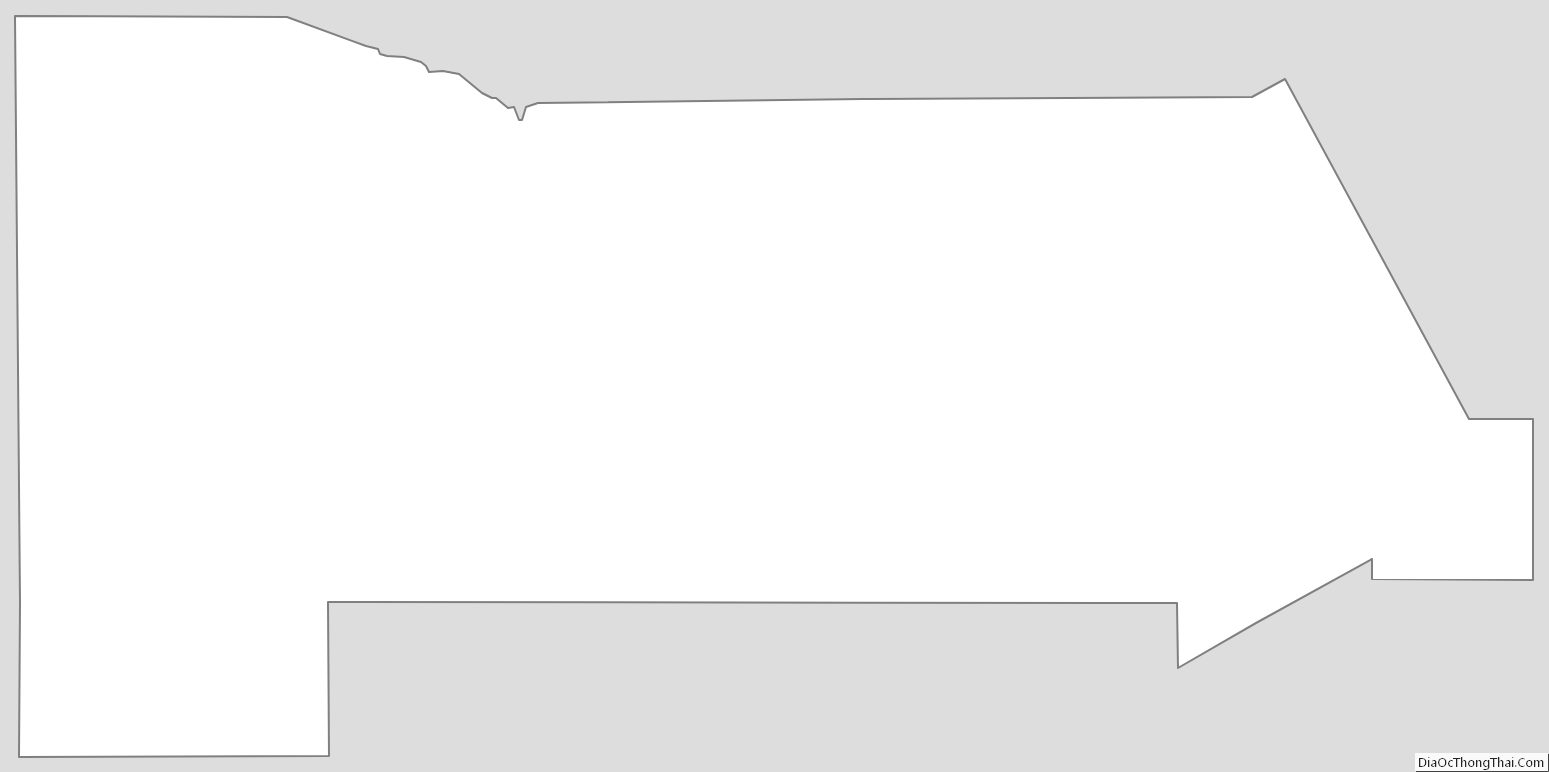
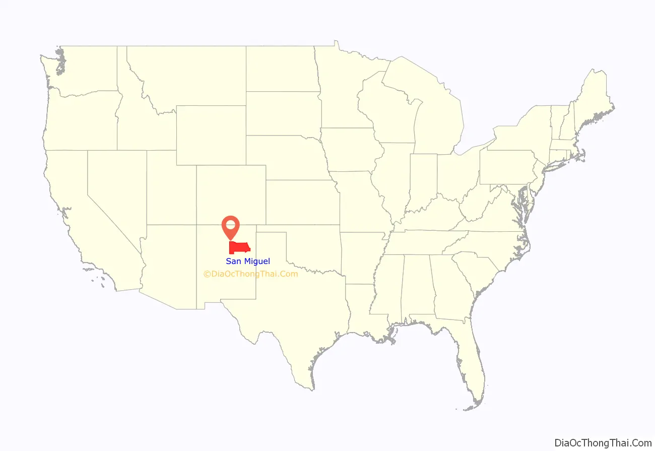
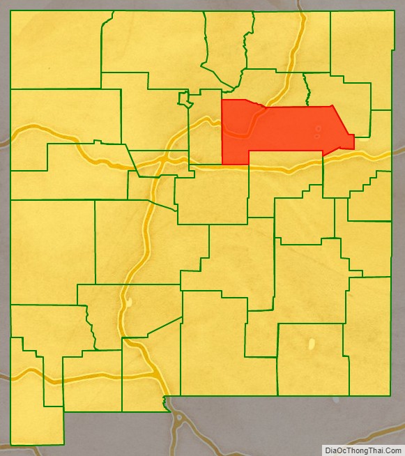
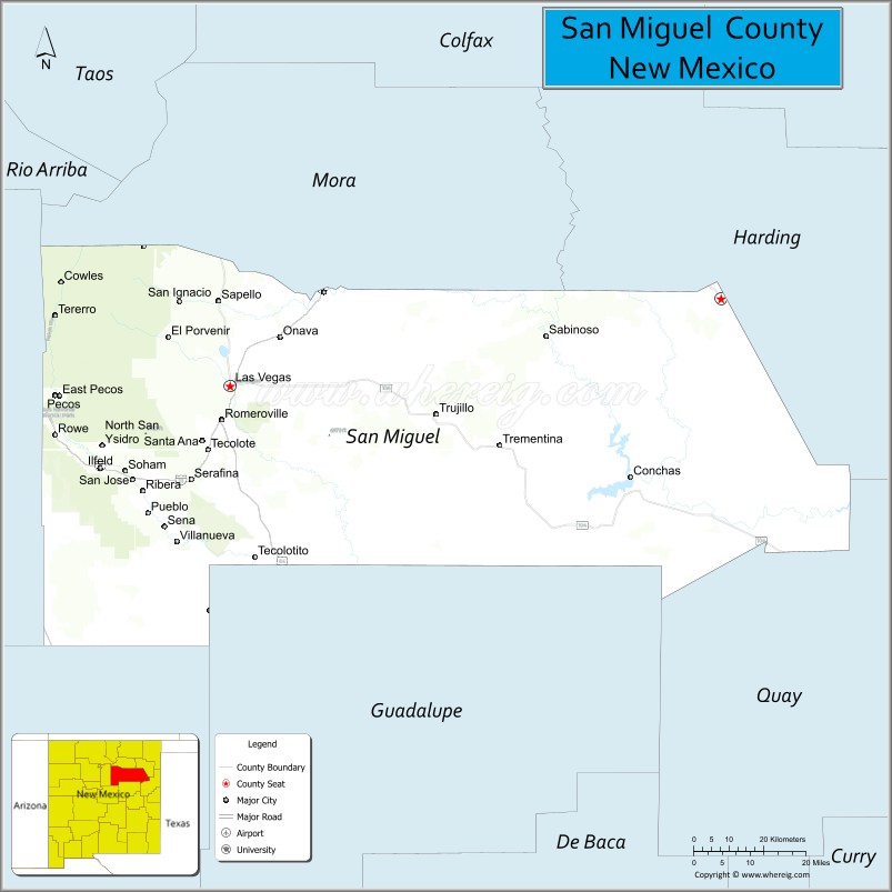
San Miguel County location map. Where is San Miguel County?
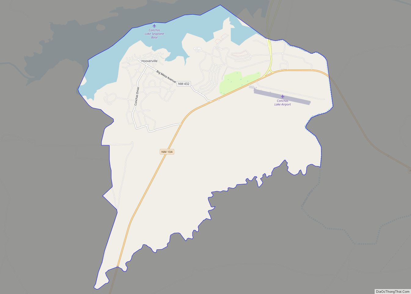
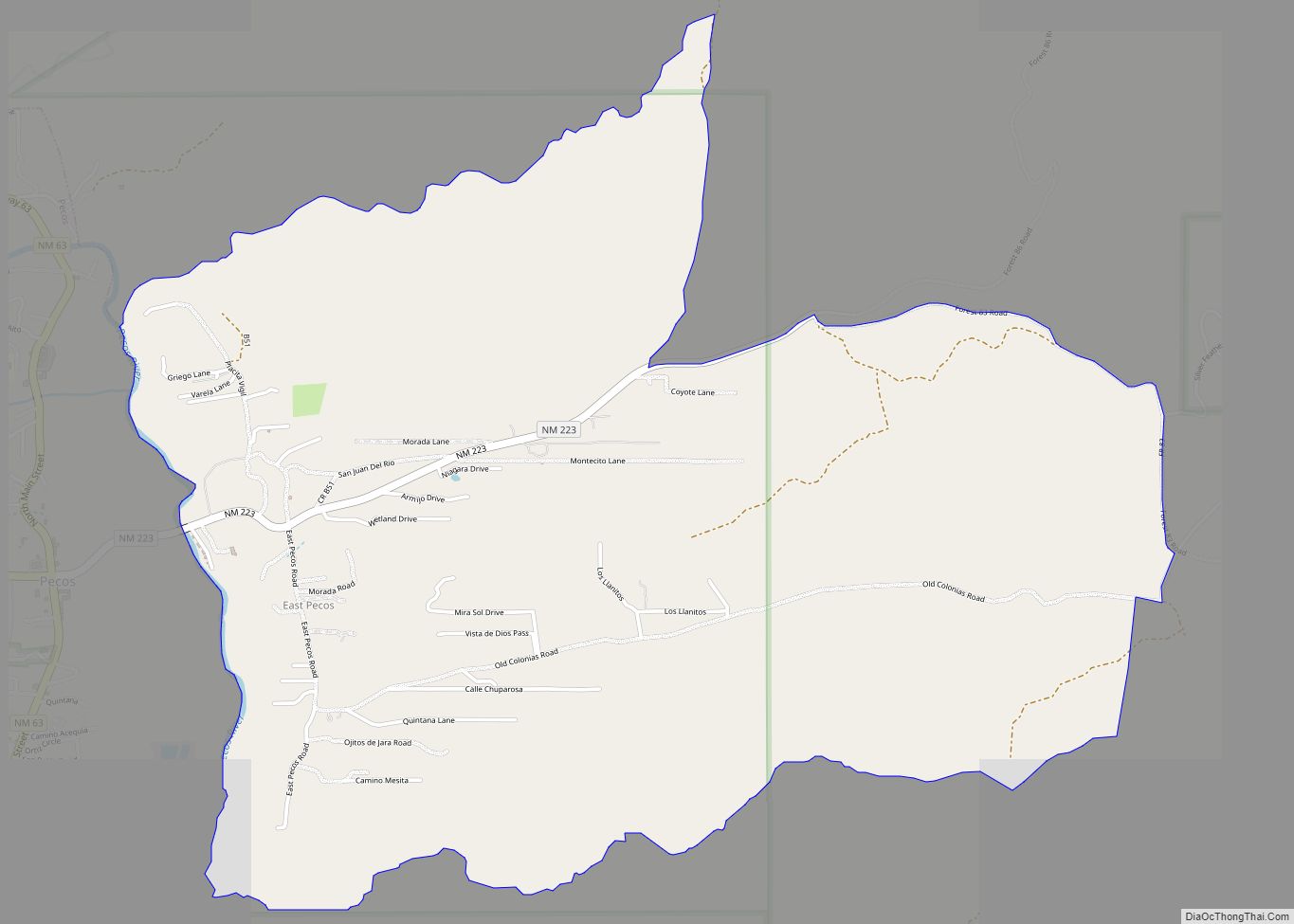
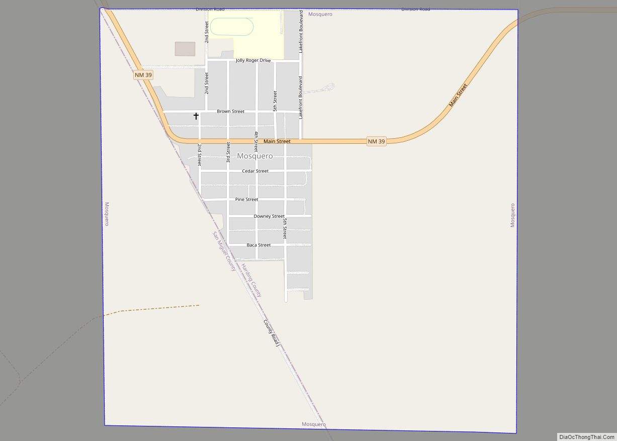
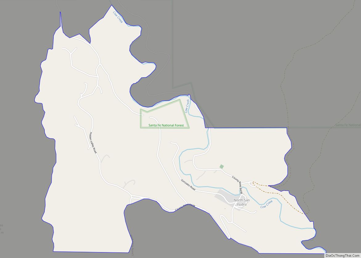
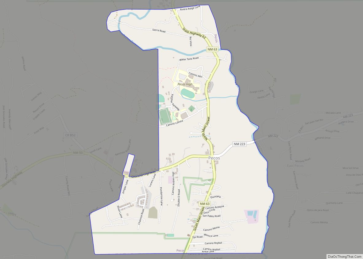
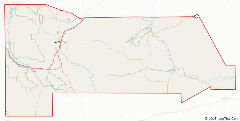
San Miguel County Road Map
Geography
According to the U.S. Census Bureau, the county has a total area of 4,736 square miles (12,270 km), of which 4,716 square miles (12,210 km) is land and 20 square miles (52 km) (0.4%) is water.
Adjacent counties
- Mora County – north
- Harding County – east
- Quay County – southeast
- Guadalupe County – south
- Torrance County – southwest
- Santa Fe County – west
National protected areas
- Las Vegas National Wildlife Refuge
- Pecos National Historical Park (part)
- Santa Fe National Forest (part)
San Miguel County Topographic Map
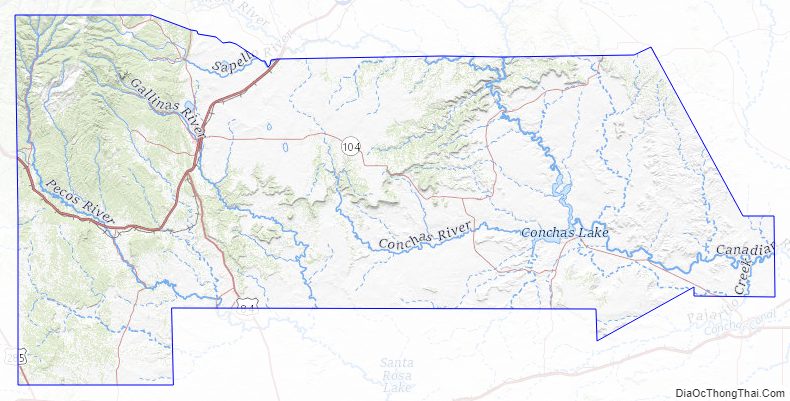
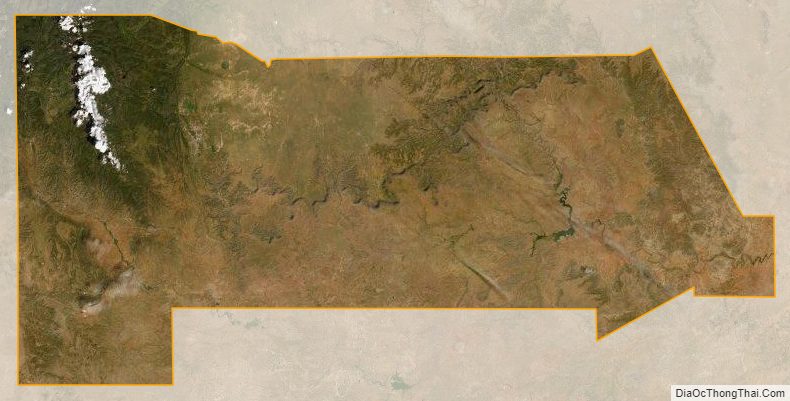
San Miguel County Satellite Map
San Miguel County Outline Map