Las Vegas is a city in and the county seat of San Miguel County, New Mexico, United States. Once two separate municipalities (one a city and the other a town), both were named Las Vegas—West Las Vegas (“Old Town”) and East Las Vegas (“New Town”); they are separated by the Gallinas River and retain distinct characters and separate, rival school districts.
The population was 13,166 at the 2020 census. Las Vegas is located 110 miles (180 km) south of Raton, 65 miles (105 km) east of Santa Fe, 122 miles (196 km) northeast of Albuquerque, 257 miles (414 km) south of Colorado Springs, Colorado, and 326 miles (525 km) south of Denver.
| Name: | Las Vegas city |
|---|---|
| LSAD Code: | 25 |
| LSAD Description: | city (suffix) |
| State: | New Mexico |
| County: | San Miguel County |
| Elevation: | 6,424 ft (1,958 m) |
| Total Area: | 8.62 sq mi (22.34 km²) |
| Land Area: | 8.62 sq mi (22.33 km²) |
| Water Area: | 0.00 sq mi (0.01 km²) |
| Total Population: | 13,166 |
| Population Density: | 1,527.02/sq mi (589.59/km²) |
| Area code: | 505 |
| FIPS code: | 3539940 |
| GNISfeature ID: | 0915788 |
| Website: | lasvegasnm.gov |
Online Interactive Map
Click on ![]() to view map in "full screen" mode.
to view map in "full screen" mode.
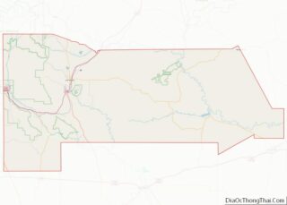
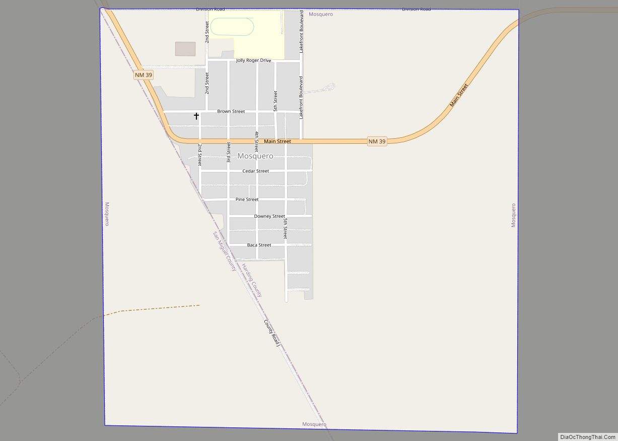
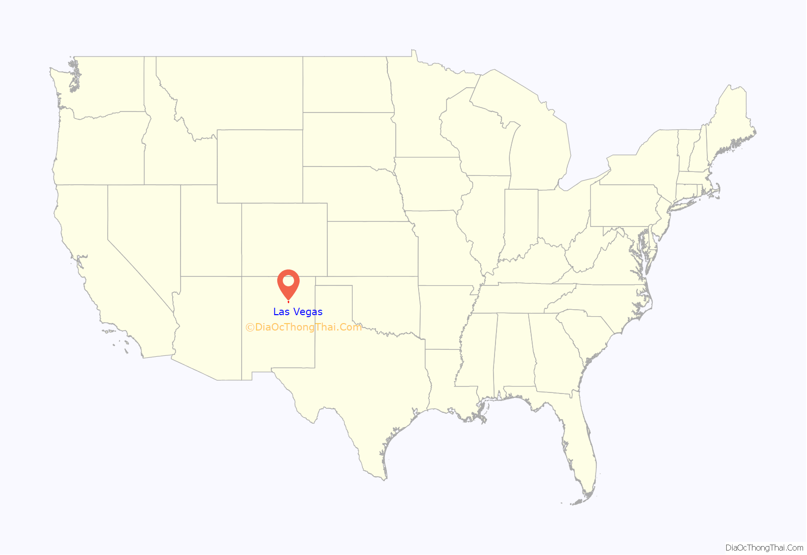
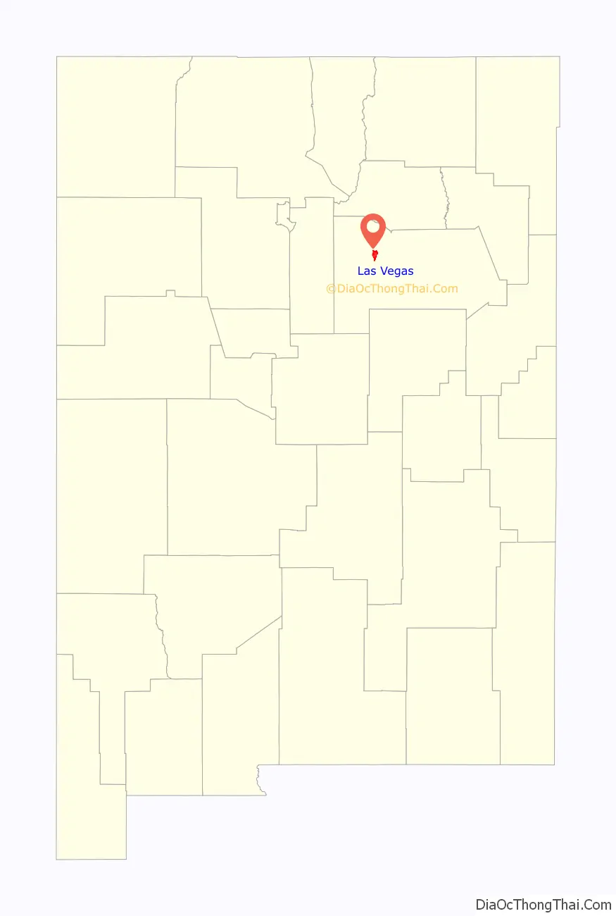
Las Vegas location map. Where is Las Vegas city?
History
Las Vegas was established in 1835 after a group of settlers received a land grant from the Mexican government. (The land had previously been granted to Luis Mara Cabeza de Baca.) The town was laid out in the traditional Spanish Colonial style, with a central plaza surrounded by buildings which could serve as fortifications in case of attack. Las Vegas soon prospered as a stop on the Santa Fe Trail. During the Mexican–American War in 1846, Stephen W. Kearny delivered an address at the Plaza of Las Vegas claiming New Mexico for the United States. In 1847, the town was the site of the Battle of Las Vegas, which was a part of the broader Taos Revolt by local Hispanos and Pueblo peoples against United States forces. In 1860, the United States Congress passed a law allowing the Cabeza de Baca heirs to choose other grants in lieu of their Las Vegas grant.
In 1877 Las Vegas College, the precursor to Regis University, was founded in Las Vegas by a group of exiled Italian Jesuits. In 1887, Las Vegas College moved to Denver whereupon the name was changed.
The Atchison, Topeka and Santa Fe Railroad arrived at Las Vegas from the north on July 4, 1879. To maintain control of development rights, it established a station and related development one mile (1.6 km) east of the Plaza, creating a separate, rival New Town, as occurred elsewhere in the Old West. The same competing development occurred in Albuquerque, for instance. During the railroad era Las Vegas boomed, quickly becoming one of the largest cities in the American Southwest. Turn-of-the-century Las Vegas featured all the modern amenities, including an electric street railway, the “Duncan Opera House” at the northeast corner of 6th Street and Douglas Avenue, a Carnegie library, the Castañeda Hotel (a major Harvey House), and the New Mexico Normal School (now New Mexico Highlands University). Since the decline and restructuring of the railroad industry began in the 1950s, the city’s population has remained relatively constant. Although the two towns have been combined, separate school districts have been maintained (Las Vegas City Schools and West Las Vegas School District).
The anti-colonist organization Las Gorras Blancas was active in the area in the 1890s.
Cowboy Reunions
Beginning in 1915, the Las Vegas Cowboys’ Reunions were held annually until 1931; then in 1939, the Cowboys’ Reunions were re-established. Their slogan was, “Git Fer Vegas, Cowboy!” These reunions were organized by a group of ranching families and cowboys which soon became the Las Vegas Cowboys’ Reunion Association. The Reunions celebrated ranching life, which began in northern New Mexico in the early 1800s and continues into the 21st century. The annual affair included pie eating contests, barbecues, parades, banquets, balls, and “ranch rodeos.” In the early years, celebrities—cowhands as well as big-name bands, movie stars like Tom Mix, and artists such as Randall Davey—came to Las Vegas for this event. In later years, famous cowhands participated in the Cowboys’ Reunion Rodeos. The Cowboys’ Reunions reflected the occupations of the area and attracted huge crowds for their four days of events. In 1952, the Cowboys’ Reunion Association invited the Rough Riders Association to join them at the annual rodeo.
Outlaws
The arrival of the railroad in 1879 brought with it businesses, development and new residents, both respectable and dubious. Murderers, robbers, thieves, gamblers, gunmen, swindlers, vagrants, and tramps poured in, transforming the eastern side of the settlement into a virtually lawless brawl. Among the notorious characters were such legends of the Old West as: dentist Doc Holliday and his girlfriend Big Nose Kate, Dave Rudabaugh, Jesse James, Billy the Kid, Wyatt Earp, Mysterious Dave Mather, Hoodoo Brown, and Handsome Harry the Dancehall Rustler.
Historian Ralph Emerson Twitchell once claimed regarding the Old West, “Without exception there was no town which harbored a more disreputable gang of desperadoes and outlaws than did Las Vegas.”
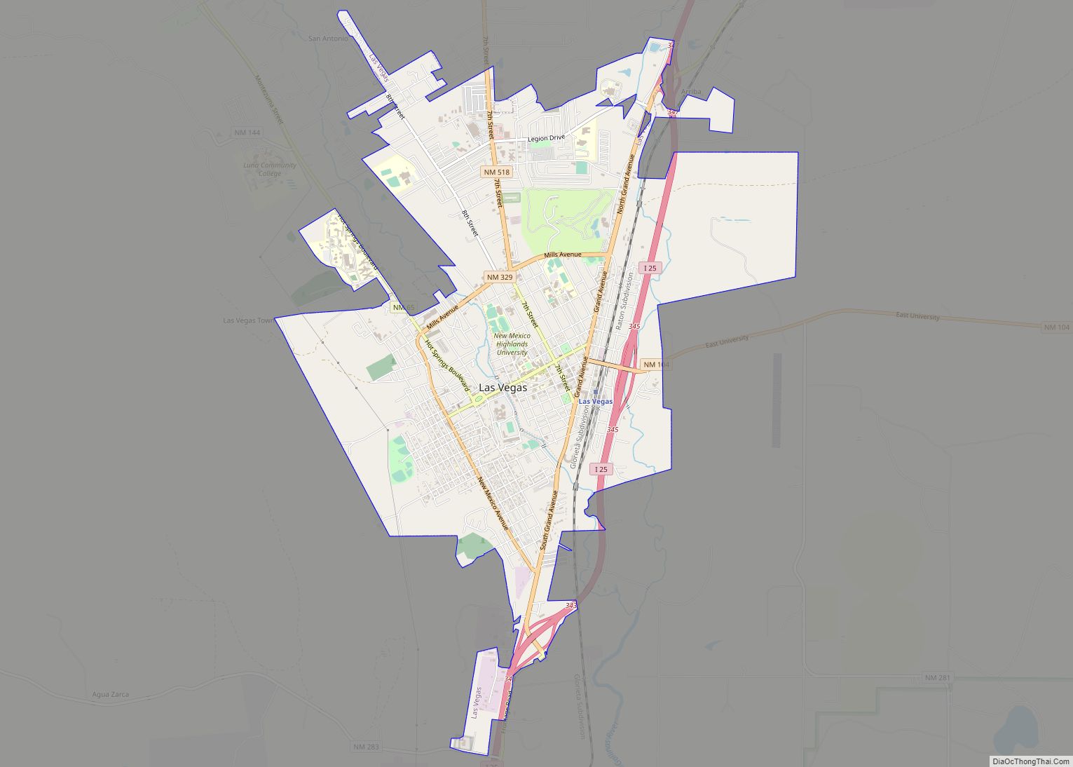
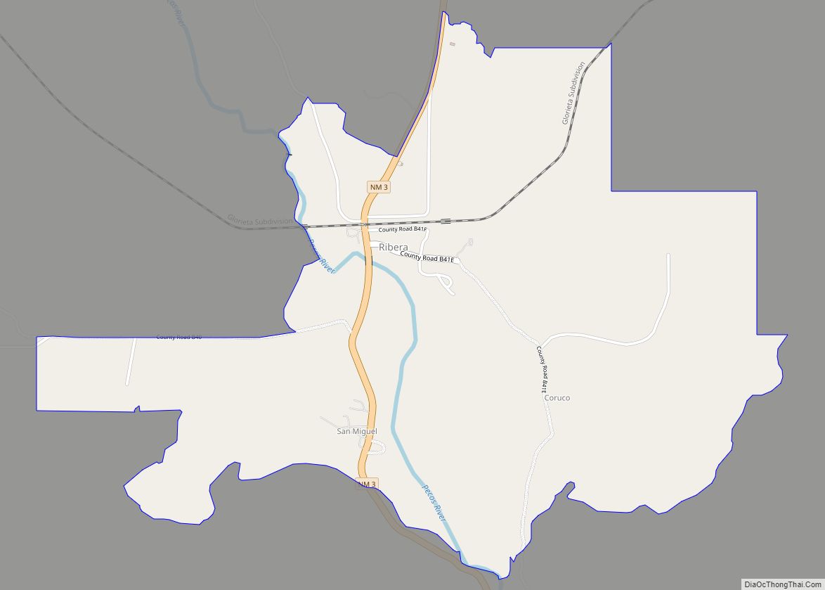
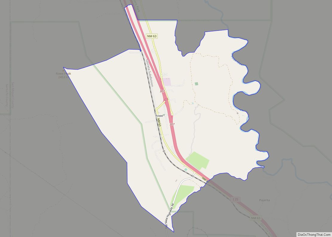
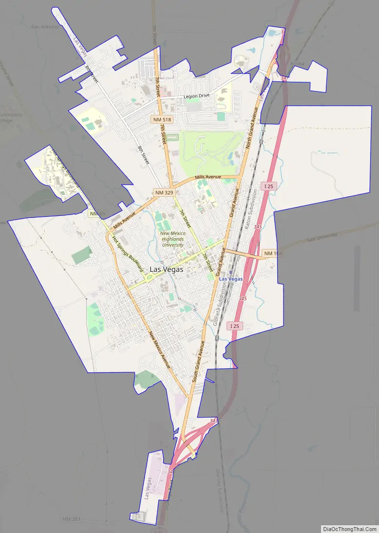
Las Vegas Road Map
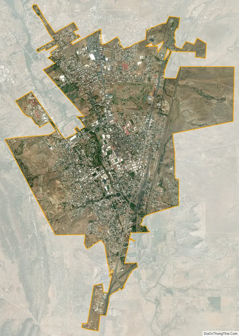
Las Vegas city Satellite Map
Geography
According to the United States Census Bureau, the city has a total area of 7.5 square miles (19 km), all land.
See also
Map of New Mexico State and its subdivision: Map of other states:- Alabama
- Alaska
- Arizona
- Arkansas
- California
- Colorado
- Connecticut
- Delaware
- District of Columbia
- Florida
- Georgia
- Hawaii
- Idaho
- Illinois
- Indiana
- Iowa
- Kansas
- Kentucky
- Louisiana
- Maine
- Maryland
- Massachusetts
- Michigan
- Minnesota
- Mississippi
- Missouri
- Montana
- Nebraska
- Nevada
- New Hampshire
- New Jersey
- New Mexico
- New York
- North Carolina
- North Dakota
- Ohio
- Oklahoma
- Oregon
- Pennsylvania
- Rhode Island
- South Carolina
- South Dakota
- Tennessee
- Texas
- Utah
- Vermont
- Virginia
- Washington
- West Virginia
- Wisconsin
- Wyoming