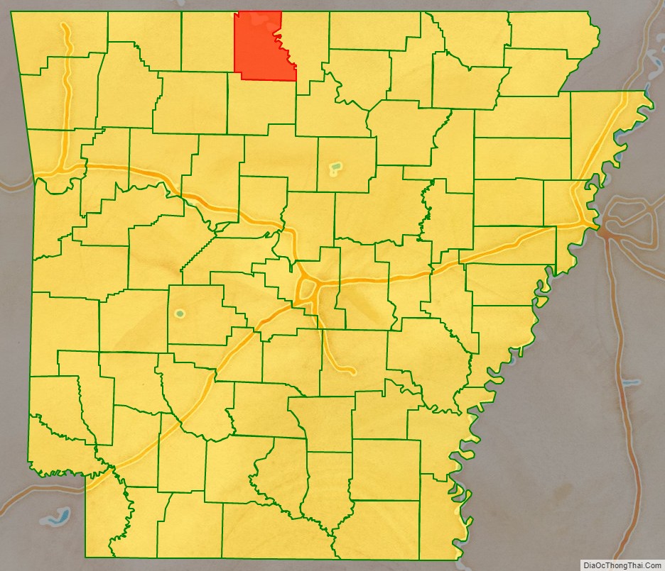
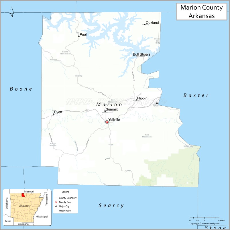
Marion County is located in the Ozark Mountains in the U.S. state of Arkansas. The county is named for Francis Marion, the famous “Swamp Fox” of the Revolutionary War. Created as Arkansas’s 35th county in 1836, Marion County is home to one incorporated town and four incorporated cities, including Yellville, the county seat. The county is also the site of numerous unincorporated communities and ghost towns. The county included part of what is now Searcy County, Arkansas, with many opposing to dividing them, which helped fueled the bloody Tutt-Everett War between 1844 and 1850.
Occupying 640 square miles (170,000 ha), the county’s population was 16,826 as of the 2020 Census. Based on population, the county ranks 42nd of the 75 in Arkansas. Located in the Ozarks, the county is largely covered with rugged terrain and waterways, with the exception of King’s Prairie in the southwestern portion. It is drained by the White River, Buffalo River, Crooked Creek, and the Little North Fork of White River. Protected areas of the county include Bull Shoals-White River State Park, Ozark National Forest, the Buffalo National River and four wildlife management areas (WMAs).
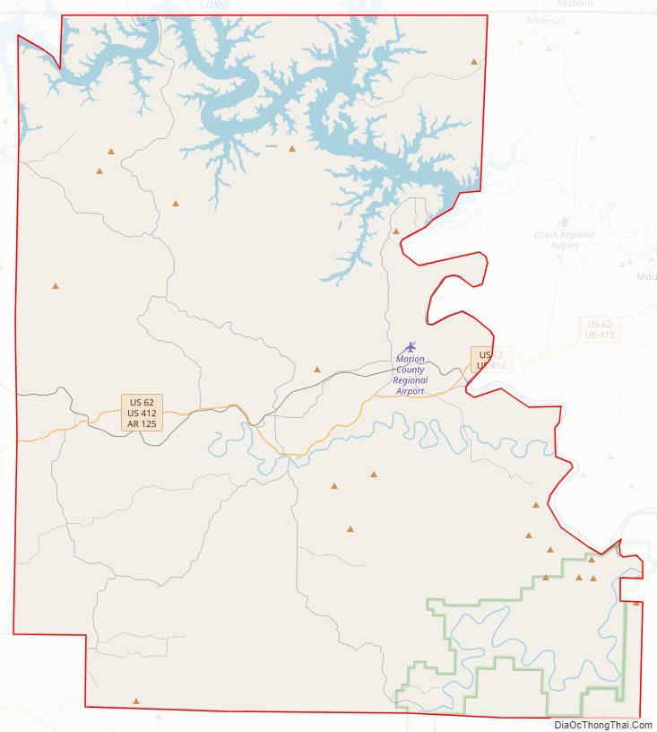
Although no Interstate highways are located in Marion County, two United States highways (U.S. Route 62 [US 62] and US 412) and eight Arkansas state highways run in the county.
| Name: | Marion County |
|---|---|
| FIPS code: | 05-089 |
| State: | Arkansas |
| Founded: | September 25, 1836 |
| Named for: | Francis Marion |
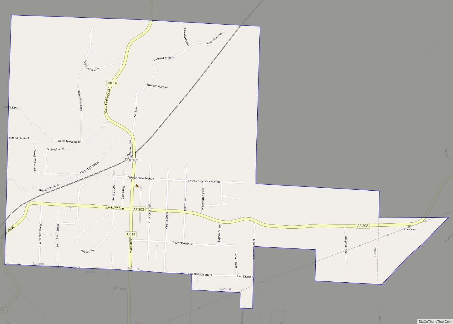
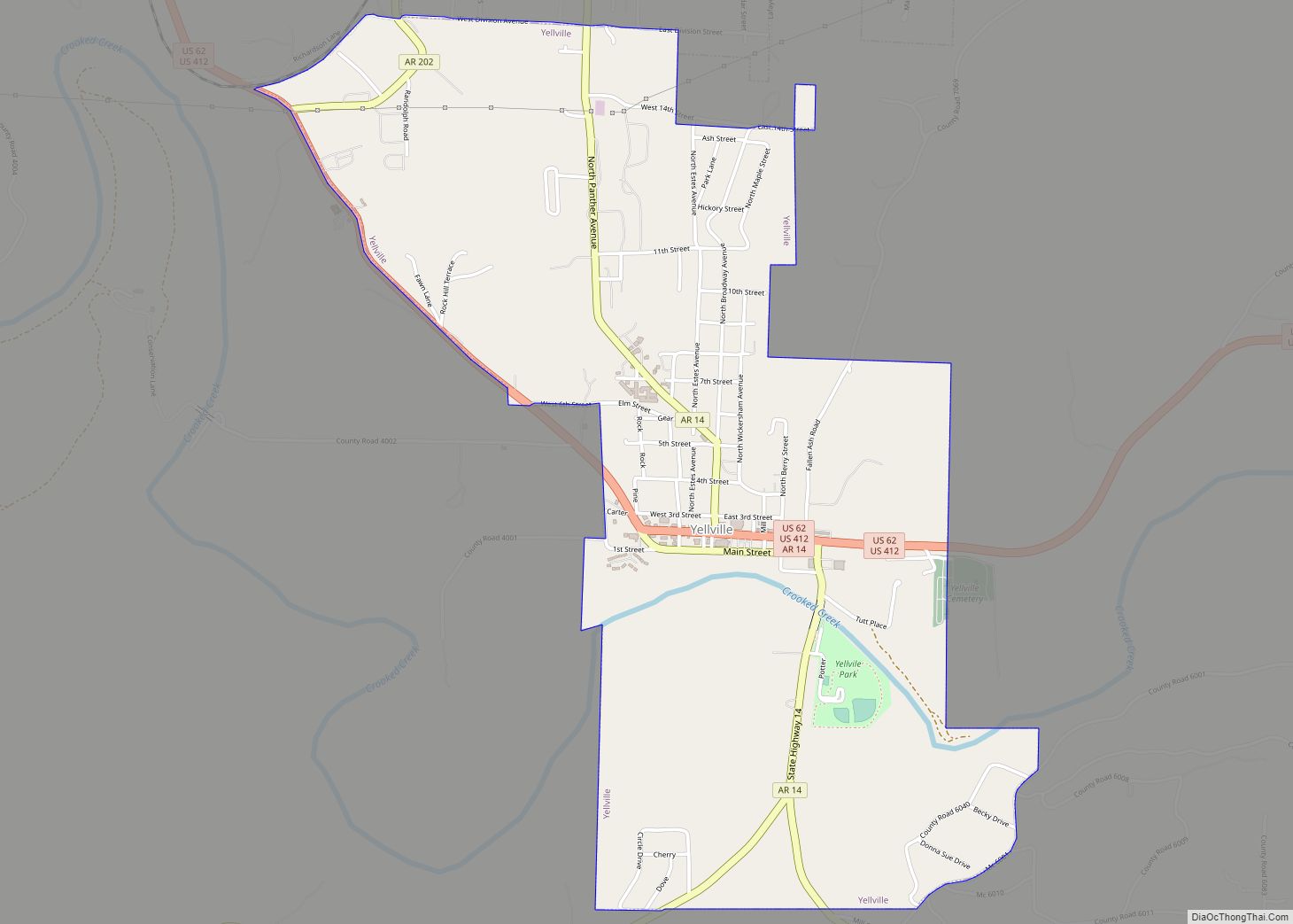
| Seat: | Yellville |
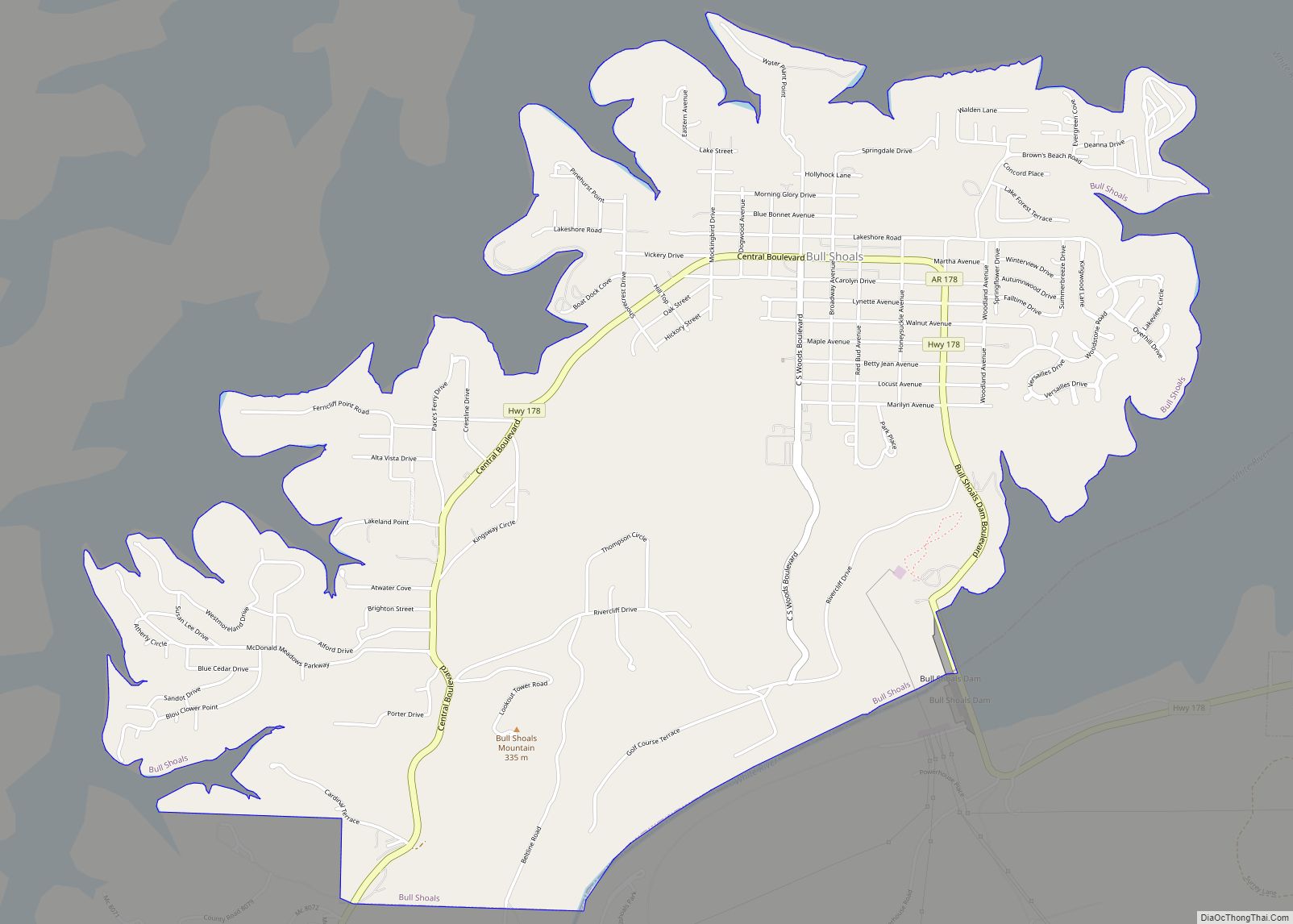
| Largest city: | Bull Shoals |
| Total Area: | 640 sq mi (1,700 km²) |
| Land Area: | 597 sq mi (1,550 km²) |
| Total Population: | 16,826 |
| Population Density: | 26/sq mi (10/km²) |
| Time zone: | UTC−6 (Central) |
| Summer Time Zone (DST): | UTC−5 (CDT) |
| Website: | marioncounty.arkansas.gov |
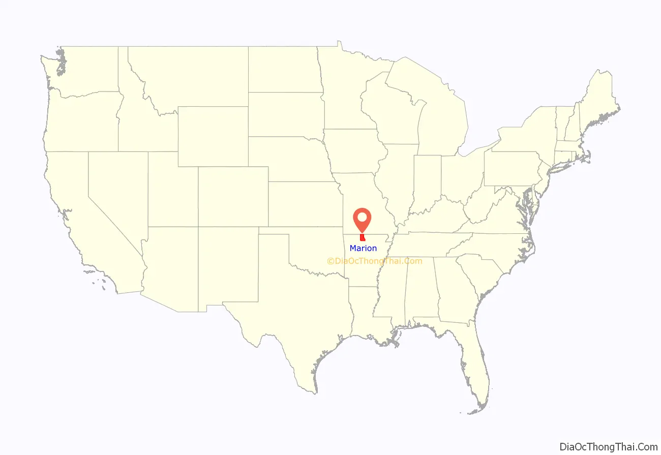
Marion County location map. Where is Marion County?
History
Prior to white settlement, the Ozark Plateau was inhabited by the Osage Indians for centuries. Present-day Arkansas was under French rule from 1682 until the Spanish took over in 1762. The territory was returned to France in 1800 and then sold to the United States as part of the Louisiana Purchase in 1803. In 1812, the Territory of Missouri was formed, containing all of the Louisiana Purchase except the modern state of Louisiana. To manage this expansive and sparsely populated territory, counties were formed. New Madrid County, Missouri covered much of southeastern Missouri and the northern part of Arkansas. This county was eventually subdivided into Lawrence County, which was later subdivided into Izard County.
Marion County was formerly home to a large zinc mining industry. The ruins of the Rush Creek mining district are preserved as the Rush Historic District, which is listed on the National Register of Historic Places.
Marion County Road Map
Geography
According to the U.S. Census Bureau, the county has a total area of 640 square miles (1,700 km), of which 597 square miles (1,550 km) is land and 43 square miles (110 km) (6.8%) is water.
Adjacent counties
- Ozark County, Missouri (north)
- Baxter County (east)
- Searcy County (south)
- Boone County (west)
- Taney County, Missouri (northwest)
National protected areas
- Buffalo National River (part)
- Buffalo National River Wilderness
- Ozark National Forest (part)
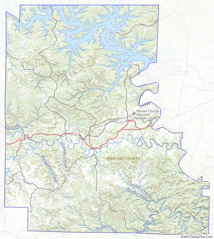
Marion County Topographic Map
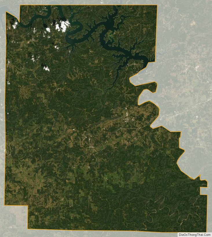
Marion County Satellite Map
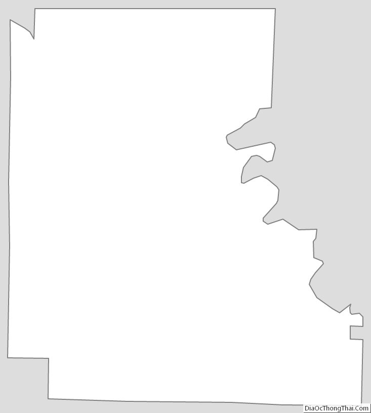
Marion County Outline Map