Dunlap is a city in and the county seat of Sequatchie County, Tennessee, United States. The population was 5,357 at the 2020 census and 4,815 at the 2010 census.
Dunlap is part of the Chattanooga, TN–GA Metropolitan Statistical Area.
| Name: | Dunlap city |
|---|---|
| LSAD Code: | 25 |
| LSAD Description: | city (suffix) |
| State: | Tennessee |
| County: | Sequatchie County |
| Founded: | 1858 |
| Incorporated: | 1901 |
| Elevation: | 712 ft (217 m) |
| Total Area: | 10.80 sq mi (27.98 km²) |
| Land Area: | 10.80 sq mi (27.98 km²) |
| Water Area: | 0.00 sq mi (0.00 km²) |
| Total Population: | 5,357 |
| Population Density: | 495.88/sq mi (191.46/km²) |
| ZIP code: | 37327 |
| Area code: | 423 |
| FIPS code: | 4722000 |
| GNISfeature ID: | 1283187 |
| Website: | www.cityofdunlap.com |
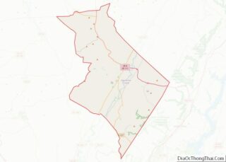
Online Interactive Map
Click on ![]() to view map in "full screen" mode.
to view map in "full screen" mode.
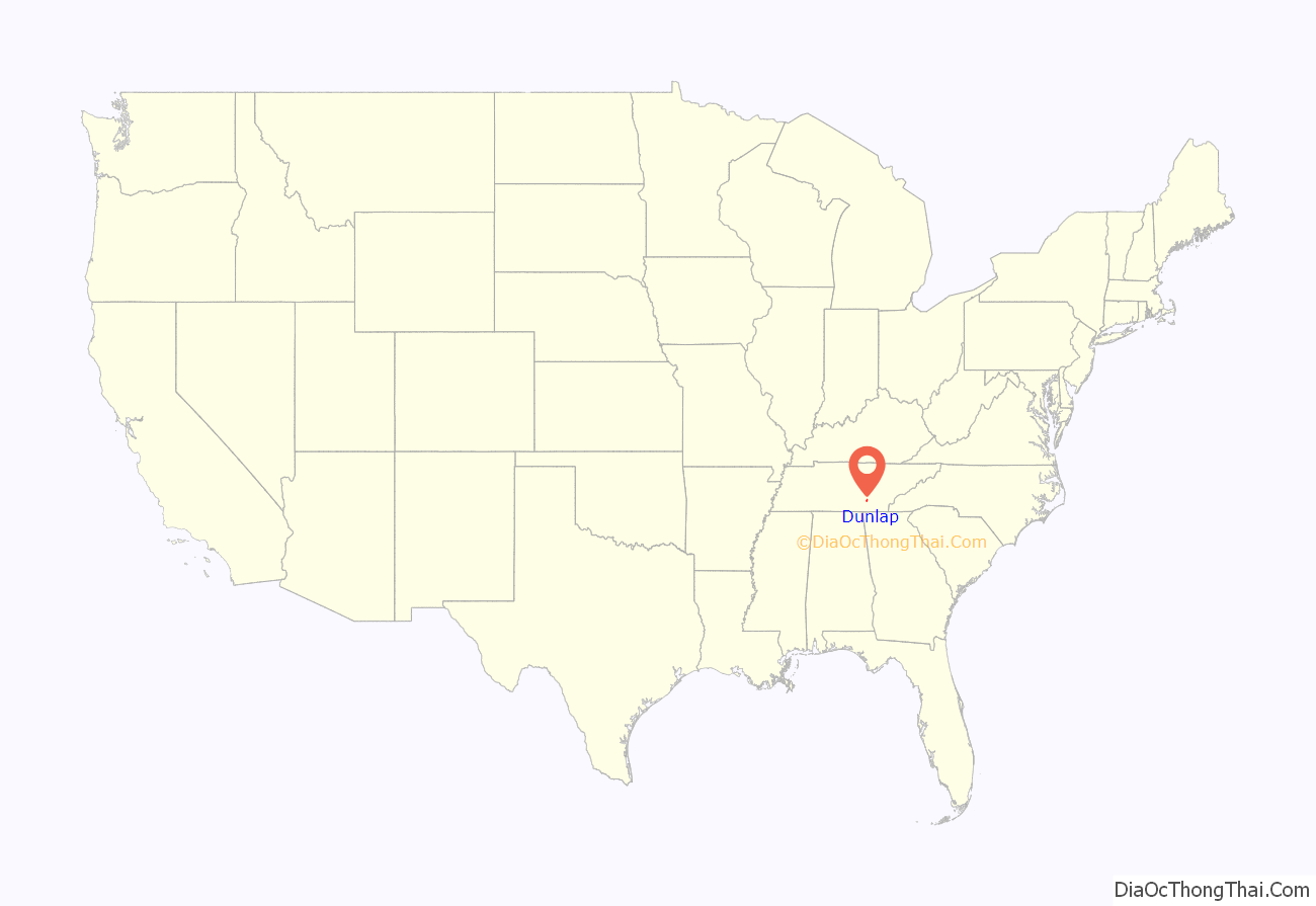
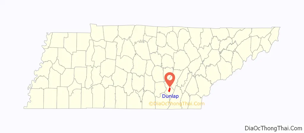
Dunlap location map. Where is Dunlap city?
History
Dunlap was founded in 1858 as a county seat for Sequatchie County, which had been created the previous year. The city was named for state legislator William Claiborne Dunlap, who played a prominent role in the county’s creation. The city’s initial 40 acres (0.16 km), which were deeded to the county commissioners by Willam Rankin, were chosen due to their central location within the new county. Dunlap was incorporated as a city in 1941.
Around 1900, the Douglas Coal and Coke Company purchased 14,000 acres (57 km) of land in the Dunlap vicinity with plans to mine coal and convert the coal into industrial coke. Coke, which is created by heating coal and removing its volatile matter, is used primarily as a deoxidizing agent in the production of pig iron. To convert coal mined on nearby Fredonia Mountain into coke, Douglas built the first of 268 ovens. The company used an incline railway to move the coal from the mountain to the ovens. Although Douglas went bankrupt in 1904, the Chattanooga Iron and Coal Company purchased the ovens, and continued producing coke until 1927. In the 1980s and 1990s, the Sequatchie Valley Historical Association acquired the ruins of the coke ovens and established Dunlap Coke Ovens Park.
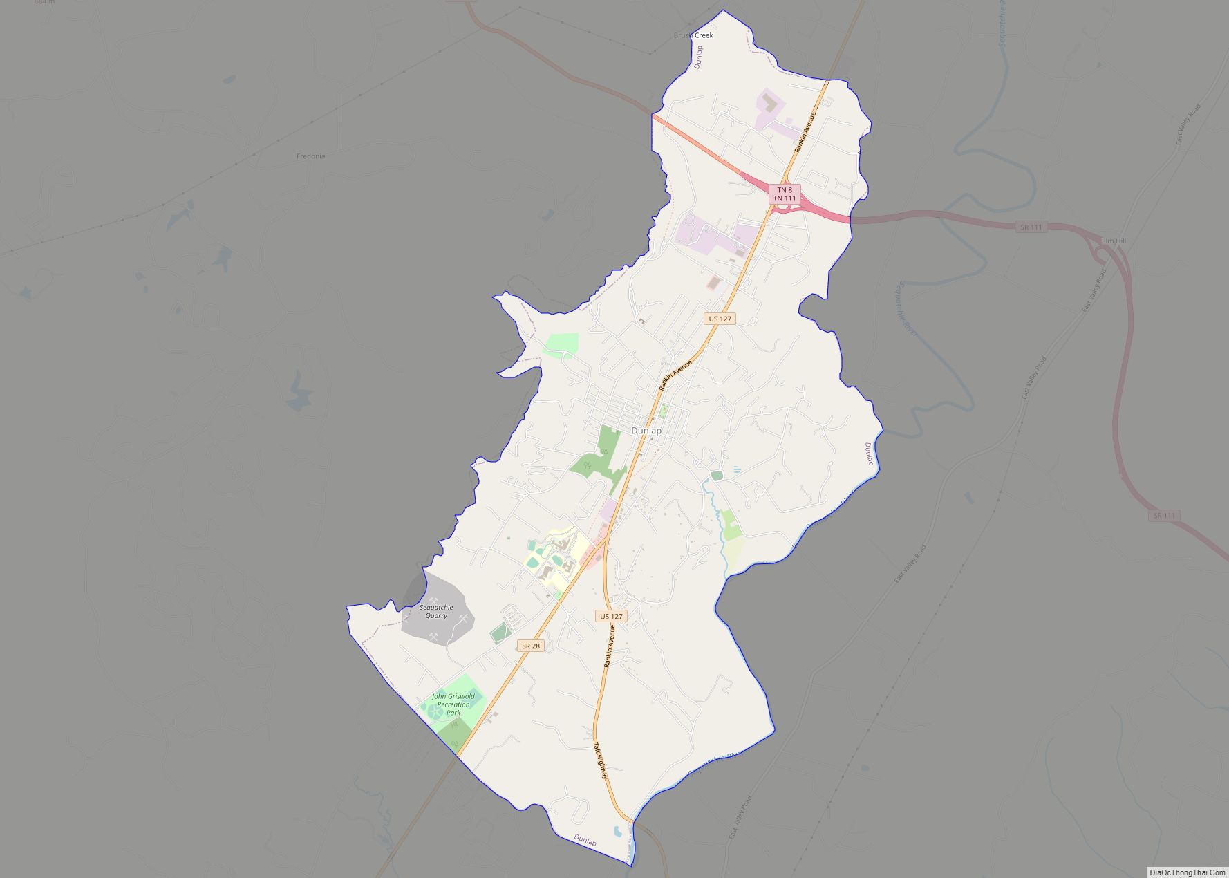
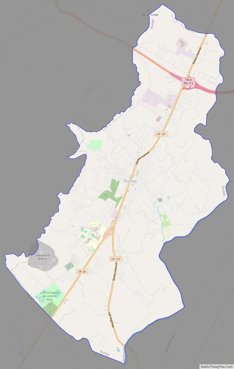
Dunlap Road Map
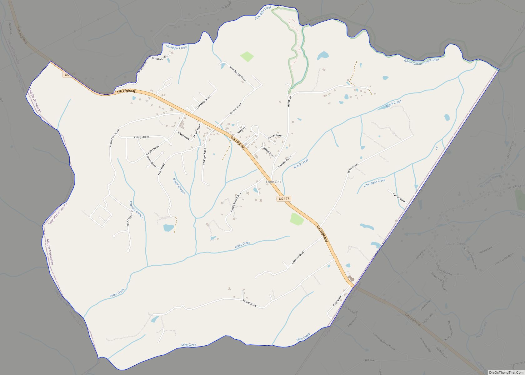
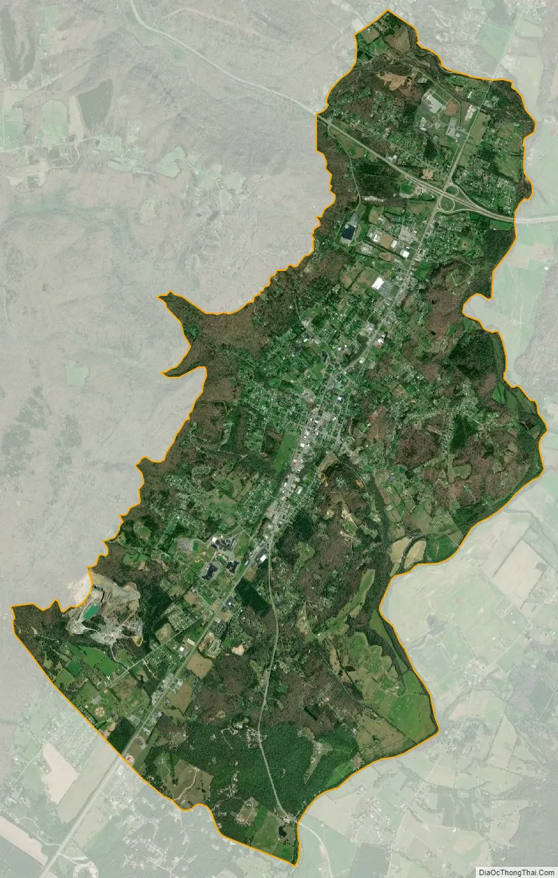
Dunlap city Satellite Map
Geography
Dunlap is located at 35°22′38″N 85°23′18″W / 35.37722°N 85.38833°W / 35.37722; -85.38833 (35.377236, -85.388455). The city is located near the center of Sequatchie Valley, a narrow, 65-mile (105 km) long valley that slices through the Cumberland Plateau in southeastern Tennessee and northeastern Alabama. The plateau’s western Sequatchie Valley escarpment, known locally as “Fredonia Mountain,” rises over 1,000 feet (300 m) above the valley just west of Dunlap. The Sequatchie River forms the city’s southeastern boundary.
U.S. Route 127 (called “Rankin Avenue” in Dunlap), which traverses much of the Tennessee section of Sequatchie Valley, connects Dunlap to Pikeville and Crossville to the north and Chattanooga opposite Signal Mountain to the southeast. S.R. 28, which intersects with U.S. 127 in Dunlap, connects the city to Jasper to the southwest. S.R. 111, which intersects US 127 a few miles north of Dunlap, connects the city to Chattanooga to the southeast and Spencer atop the plateau to the west.
According to the United States Census Bureau, the city has a total area of 8.6 square miles (22 km), all land.
See also
Map of Tennessee State and its subdivision:- Anderson
- Bedford
- Benton
- Bledsoe
- Blount
- Bradley
- Campbell
- Cannon
- Carroll
- Carter
- Cheatham
- Chester
- Claiborne
- Clay
- Cocke
- Coffee
- Crockett
- Cumberland
- Davidson
- Decatur
- DeKalb
- Dickson
- Dyer
- Fayette
- Fentress
- Franklin
- Gibson
- Giles
- Grainger
- Greene
- Grundy
- Hamblen
- Hamilton
- Hancock
- Hardeman
- Hardin
- Hawkins
- Haywood
- Henderson
- Henry
- Hickman
- Houston
- Humphreys
- Jackson
- Jefferson
- Johnson
- Knox
- Lake
- Lauderdale
- Lawrence
- Lewis
- Lincoln
- Loudon
- Macon
- Madison
- Marion
- Marshall
- Maury
- McMinn
- McNairy
- Meigs
- Monroe
- Montgomery
- Moore
- Morgan
- Obion
- Overton
- Perry
- Pickett
- Polk
- Putnam
- Rhea
- Roane
- Robertson
- Rutherford
- Scott
- Sequatchie
- Sevier
- Shelby
- Smith
- Stewart
- Sullivan
- Sumner
- Tipton
- Trousdale
- Unicoi
- Union
- Van Buren
- Warren
- Washington
- Wayne
- Weakley
- White
- Williamson
- Wilson
- Alabama
- Alaska
- Arizona
- Arkansas
- California
- Colorado
- Connecticut
- Delaware
- District of Columbia
- Florida
- Georgia
- Hawaii
- Idaho
- Illinois
- Indiana
- Iowa
- Kansas
- Kentucky
- Louisiana
- Maine
- Maryland
- Massachusetts
- Michigan
- Minnesota
- Mississippi
- Missouri
- Montana
- Nebraska
- Nevada
- New Hampshire
- New Jersey
- New Mexico
- New York
- North Carolina
- North Dakota
- Ohio
- Oklahoma
- Oregon
- Pennsylvania
- Rhode Island
- South Carolina
- South Dakota
- Tennessee
- Texas
- Utah
- Vermont
- Virginia
- Washington
- West Virginia
- Wisconsin
- Wyoming