Sequoyah County is a county located in the U.S. state of Oklahoma. As of the 2020 census, the population was 39,281. The county seat is Sallisaw. Sequoyah County was created in 1907 when Oklahoma became a state. It was named after Sequoyah, who created the Cherokee syllabary and its written language.
Sequoyah County is part of the Fort Smith, AR-OK Metropolitan Statistical Area.
| Name: | Sequoyah County |
|---|---|
| FIPS code: | 40-135 |
| State: | Oklahoma |
| Founded: | 1907 |
| Named for: | Sequoyah |
| Seat: | Sallisaw |
| Largest city: | Sallisaw |
| Total Area: | 714 sq mi (1,850 km²) |
| Land Area: | 673 sq mi (1,740 km²) |
| Total Population: | 39,281 |
| Population Density: | 58/sq mi (22/km²) |
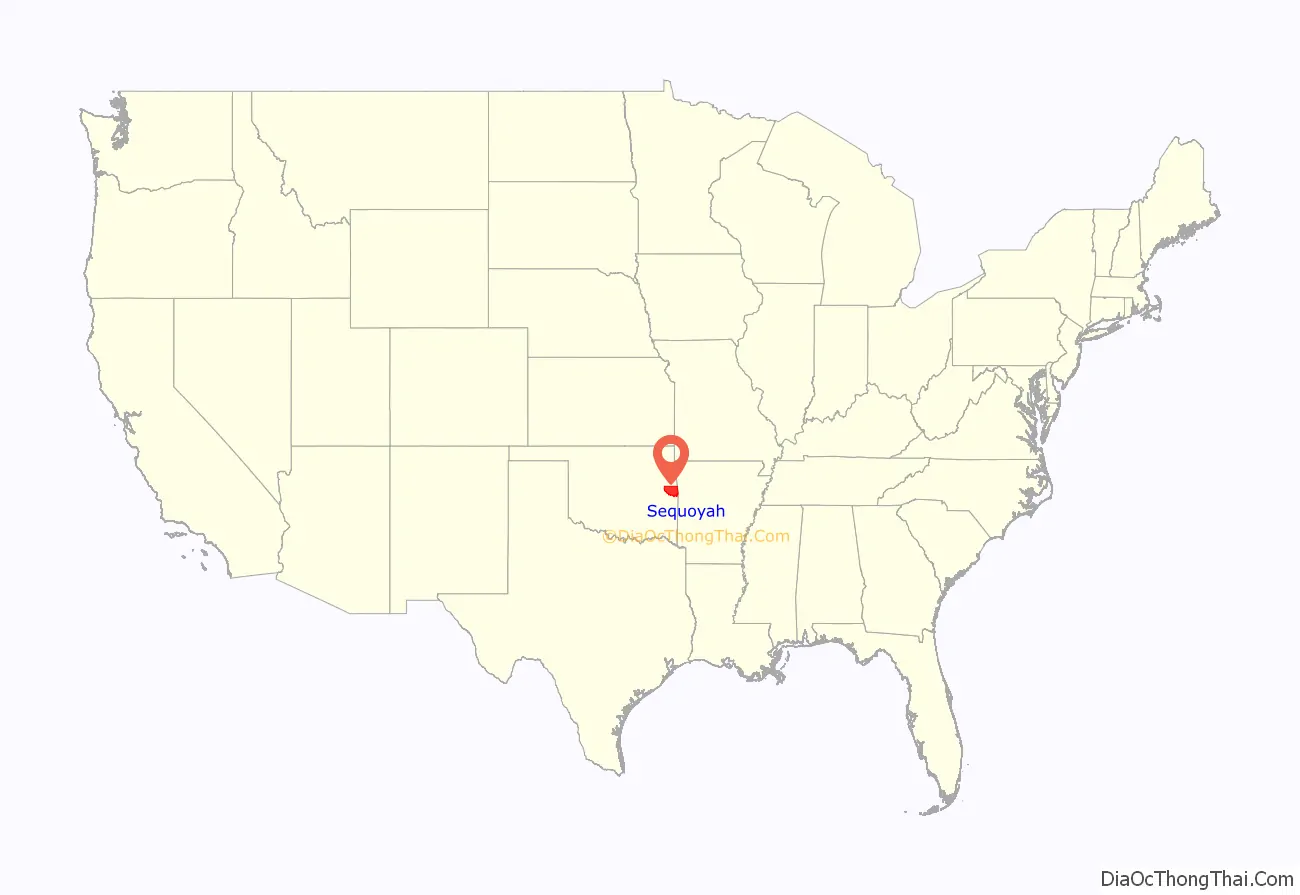
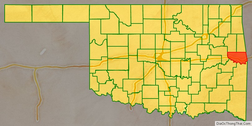
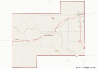
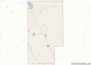
Sequoyah County location map. Where is Sequoyah County?
History
Archaeological sites within the borders of the present county date to the Archaic Period (6000 BC to 1 AD). A slightly smaller number of sites date to the Plains Village period (1000 to 1500 AD).
French traders came to this area in the 1700s, as they had posts in neighboring present-day Arkansas, part of their La Louisiane colony. Spain claimed the area until 1800, when France under Napoleon re-asserted control. He was making a last effort for French colonization in North America. But he ceded control by selling the Louisiana in 1803, when the United States purchased all French territory west of the Mississippi River.
Until 1816 the powerful Osage Nation dominated this and a much larger territory, reaching to the Mississippi River. With Lovely’s Purchase, the US bought some of their land. Under pressure in the Southeast, some Cherokee migrated to the west early, and settled here on land granted by the US. The area was then known as Lovely County, Arkansas Territory.
The US forced removal of the Western Cherokee from Arkansas in 1829, resettling them in Indian Territory: present-day Sequoyah County, Oklahoma. Sequoyah was among the Cherokee who moved into this area, where he built a cabin that still stands. The Dwight Mission was moved to a site on Sallisaw Creek, and it still stands.
In the late 1830s, the US forced Indian Removal of most of the Cherokee in the Southeast from the remainder of their lands. They had to trek under Army escort to Indian Territory, a passage they called the Trail of Tears for its high fatalities and sorrows of leaving their homelands.
The Cherokee Nation established its first capital at a place called Tahlonteskee (Tahlontuskey), near the present town of Gore, Oklahoma. Tahlonteskee remained the capital until 1839, when it was superseded by Tahlequah. It continued as a meeting place for the “Old Settlers,” as the Western Cherokee were known.
This area, then known as the Sequoyah District, was dominated by Cherokee who were Confederate sympathizers during the Civil War, as were the majority of the nation. Many of the Cherokee were slaveholders; they also had been told that the Confederates would provide them with a Native American state if victorious in the war. The only combat was on June 15, 1864, when Colonel Stand Watie and his Confederate troops conducted the ambush of the Union steamboat J. R. Williams on the Arkansas River.
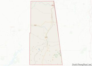
Sequoyah County Road Map
Geography
According to the U.S. Census Bureau, the county has a total area of 714 square miles (1,850 km), of which 673 square miles (1,740 km) is land and 41 square miles (110 km) (5.7%) is water.
The county is divided between the Ozark Plateau in the north and the Ouachita Mountains in the south. The Cookson Hills are in the northwest part of the county. The Arkansas River forms the southern border. Other major waterways are the Illinois River and Robert S. Kerr Reservoir.
Major highways
Interstate 40 runs east and west through Sequoyah County, while U.S. 59 runs north and south through the county.
Adjacent counties
- Cherokee County & Adair County (north)
- Crawford County, Arkansas (east)
- Sebastian County, Arkansas (southeast)
- Le Flore County (south)
- Haskell County (southwest)
- Muskogee County (west)
National protected areas
- Fort Smith National Historic Site (part)
- Sequoyah National Wildlife Refuge (part)
State protected areas
- Brushy Lake State Park
- Tenkiller State Park
