Sallisaw is a city and county seat in Sequoyah County, Oklahoma, United States. As of the 2010 Census, it had a population of 8,880, an 11.2 percent increase over the figure of 7,891 recorded in 2000. Sallisaw is part of the Fort Smith, Arkansas–Oklahoma Metropolitan Statistical Area.
| Name: | Sallisaw city |
|---|---|
| LSAD Code: | 25 |
| LSAD Description: | city (suffix) |
| State: | Oklahoma |
| County: | Sequoyah County |
| Elevation: | 531 ft (162 m) |
| Total Area: | 14.00 sq mi (36.26 km²) |
| Land Area: | 13.84 sq mi (35.85 km²) |
| Water Area: | 0.16 sq mi (0.41 km²) |
| Total Population: | 8,510 |
| Population Density: | 614.80/sq mi (237.37/km²) |
| ZIP code: | 74955 |
| Area code: | 539/918 |
| FIPS code: | 4065000 |
| Website: | sallisawok.org |
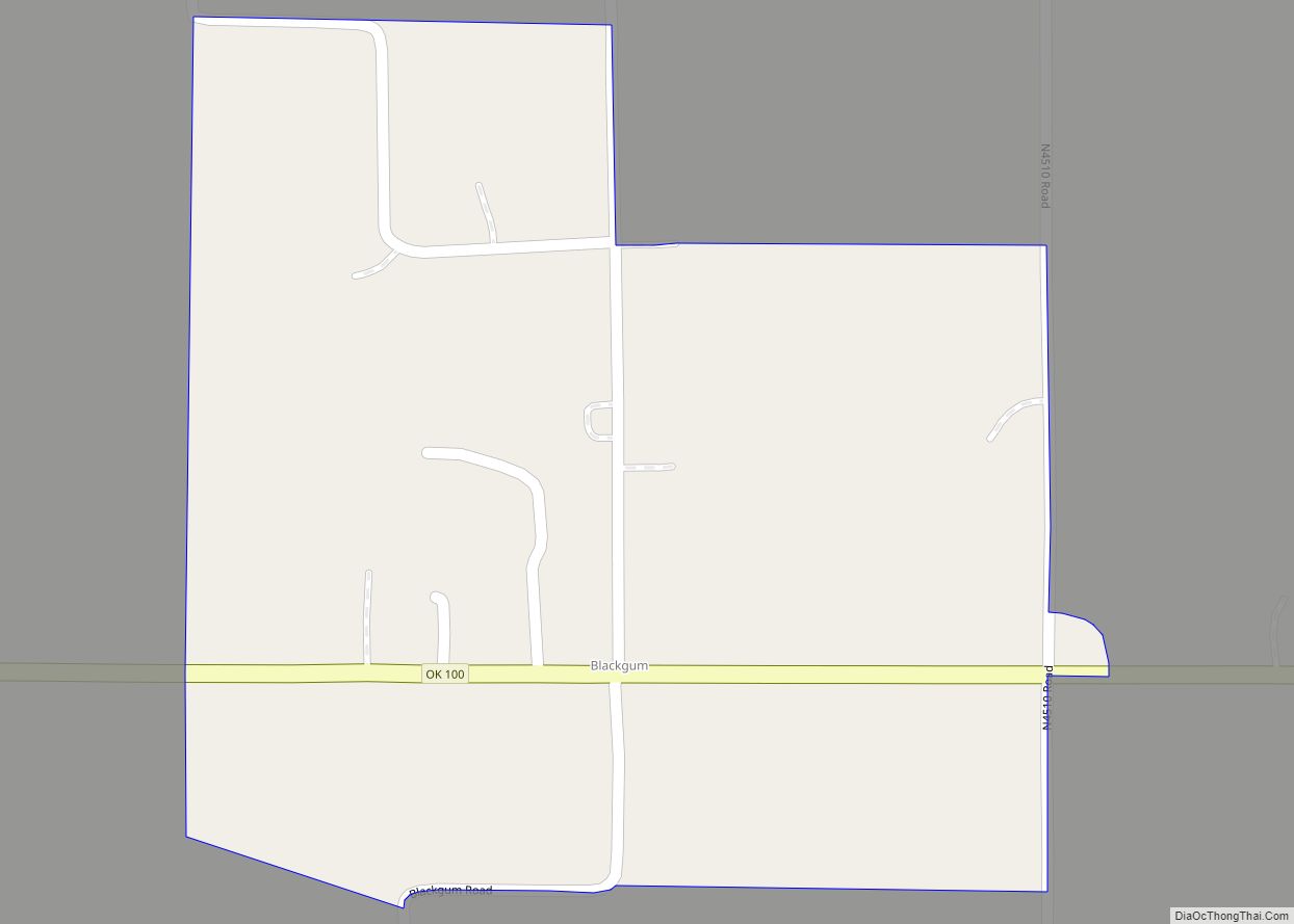
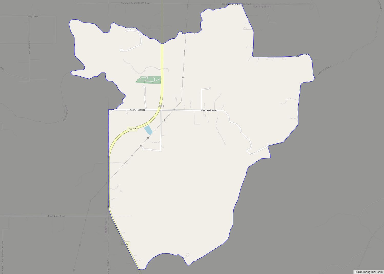
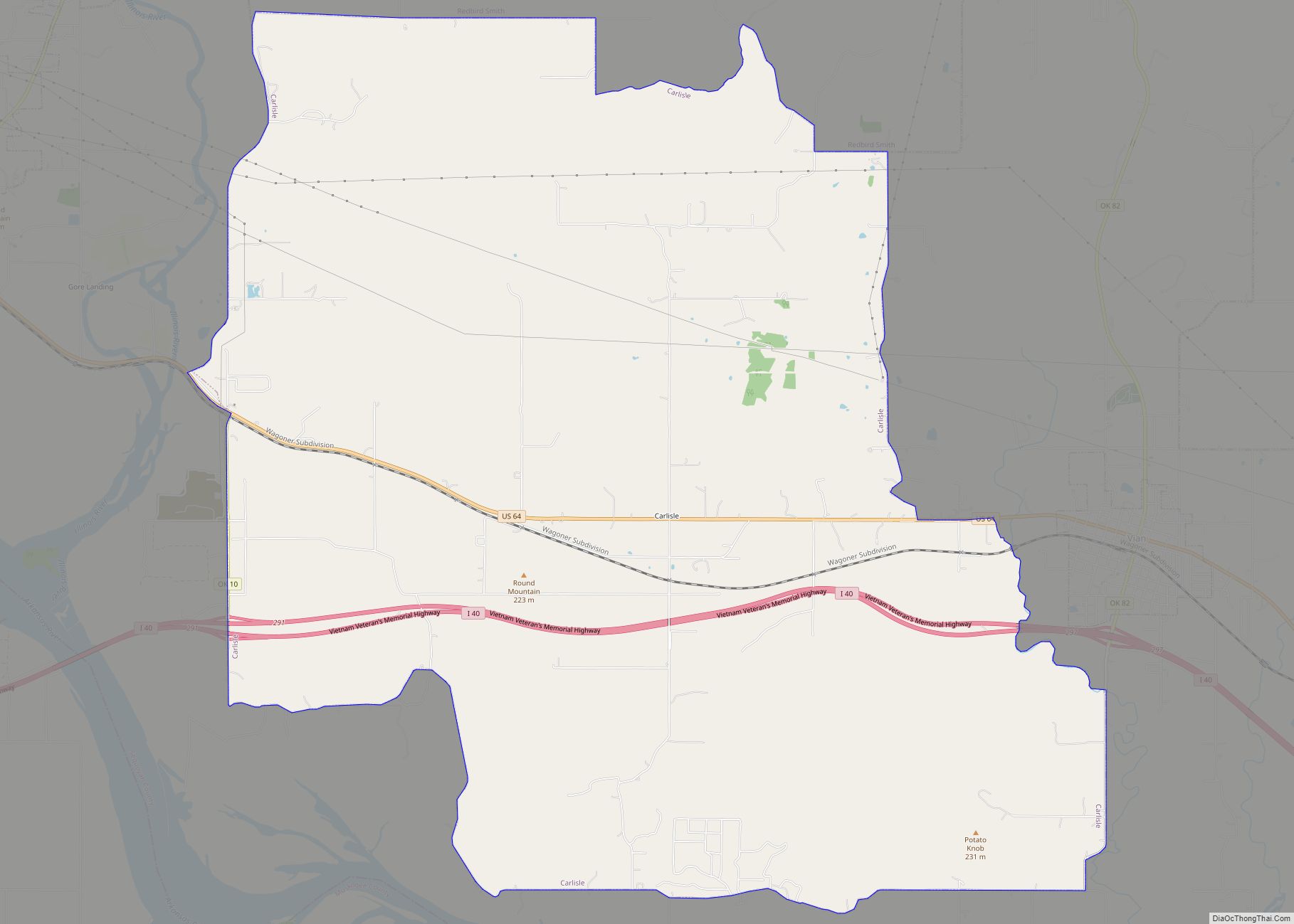
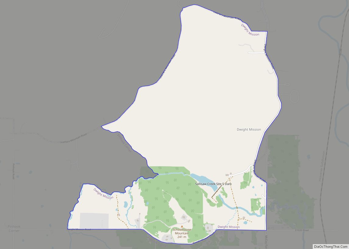
Online Interactive Map
Click on ![]() to view map in "full screen" mode.
to view map in "full screen" mode.
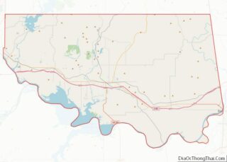
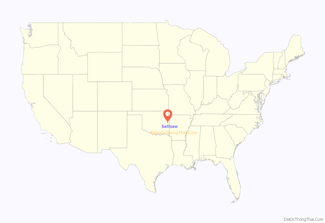
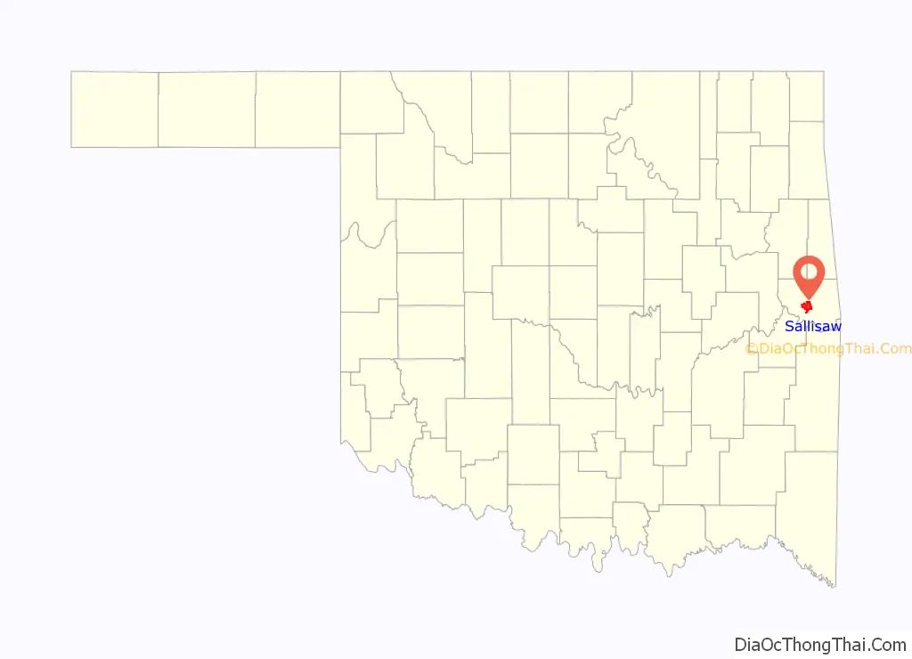
Sallisaw location map. Where is Sallisaw city?
History
French explorers and traders had travelled through this part of North America in the seventeenth century, and were the people who attached the name Sallisaw to several geographic features.
In the 1840s and 1850s, Sallisaw had been the name of one of the 22 Arkansas River steamboat landings between Fort Smith and Fort Gibson. Modern Sallisaw’s beginning as a permanent community began in 1887–1888, when Argyle Quesenbury, a white man, and Will Watie Wheeler, a collateral relative of noted Cherokee leader Stand Watie, laid out lots for a town. Several post offices had existed in the area nearby, even before there was a named community. The site of present-day Sallisaw fell within the boundaries of the Cherokee Nation after the tribe was forced to emigrate from its former home in the Southeastern U.S. It had a post office called Childer’s Station from 1873 to 1888, when the name was changed to Sallisaw. Another community fifteen miles north bore the name Sallisaw for a period until 1888, when the name of the post office there was changed to Mays, but it closed in 1896.
Will Watie Wheeler established several businesses in the town during the 1880s and 1890s. These included a cotton gin, saw mill, grist mill and lumberyard. In 1896, he opened the Coffin Shop, which later became the Wheeler Funeral Home. The latter was still doing business in Sallisaw in the twenty-first century.
The Kansas & Arkansas Valley Railway (later the Missouri Pacific Railroad) built an east–west line from Van Buren, Arkansas to Sallisaw in 1888–1890. The Kansas City, Pittsburgh & Gulf Railroad (later named the Kansas City Southern Railroad) built a north–south line through Sallisaw in 1895–96, where the two intersected.
Other early businesses included the Economy Store and McDonald Mercantile Company, operated by William Henry McDonald, who also owned a bank; Matthews Brothers, a grocery, was opened in 1898 by Henry and Arch Matthews; W. D. Mayo and E. M. Pointer founded Mayo and Company, a mercantile and farm implement business. Mr. and Mrs. C. F. Ivey established a long-standing drug store (she also owned hotels). By 1900, Sallisaw recorded a population of 965, which increased to 2,255 in 1920. During this time, the community’s economy rose and fell with the price of cotton.
After 1920, lumber and its byproducts began playing a major role in the town’s economy, along with coal and petroleum products (including natural gas). The local newspaper, Sequoyah County Times, began publication in 1932. It was founded by Wheeler and Florence Mayo. Wheeler was the son of an earlier Sallisaw businessman. As of 2019, the paper was still owned by the Mayo family.
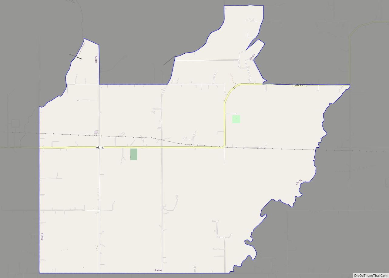
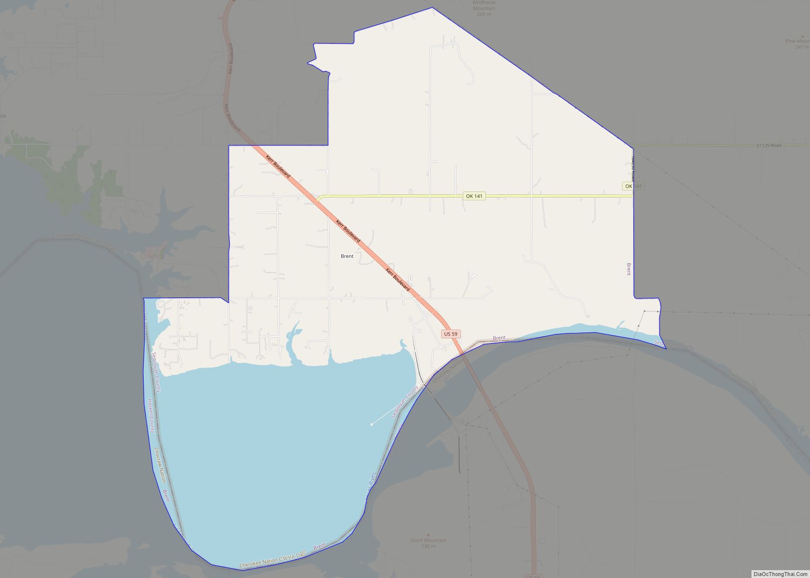
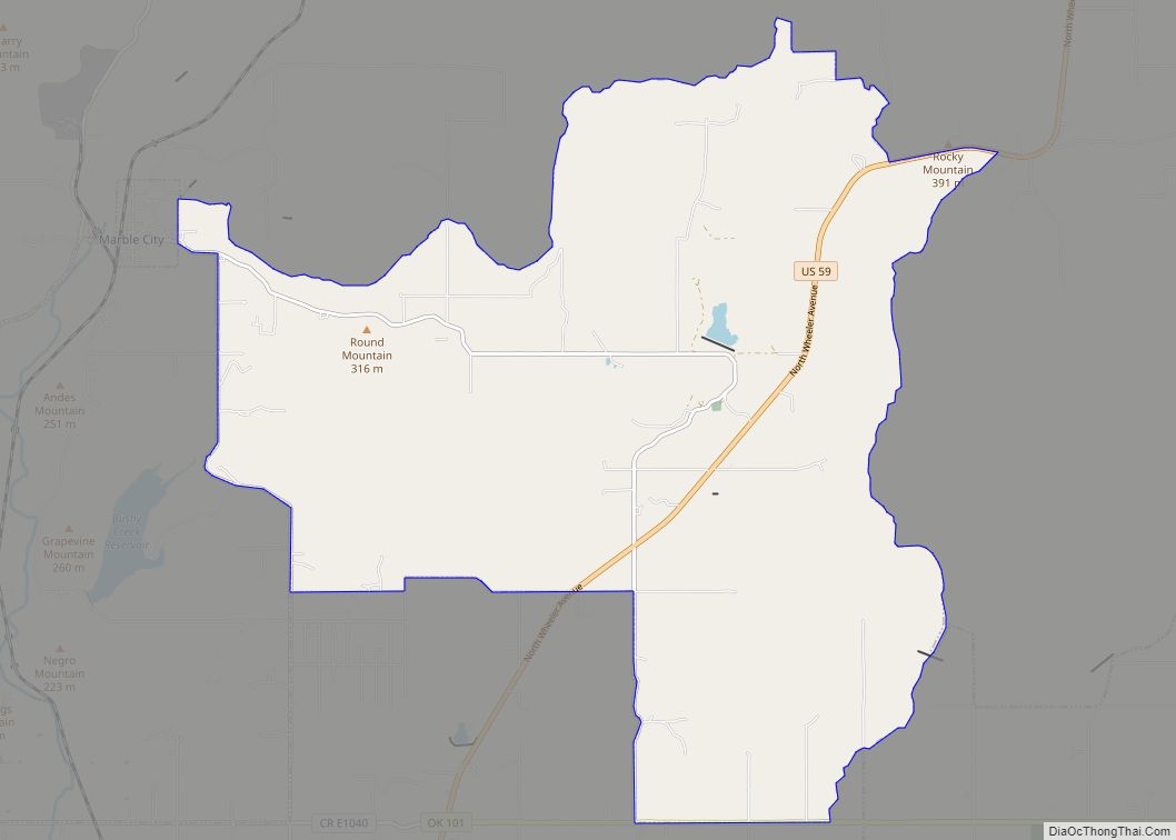
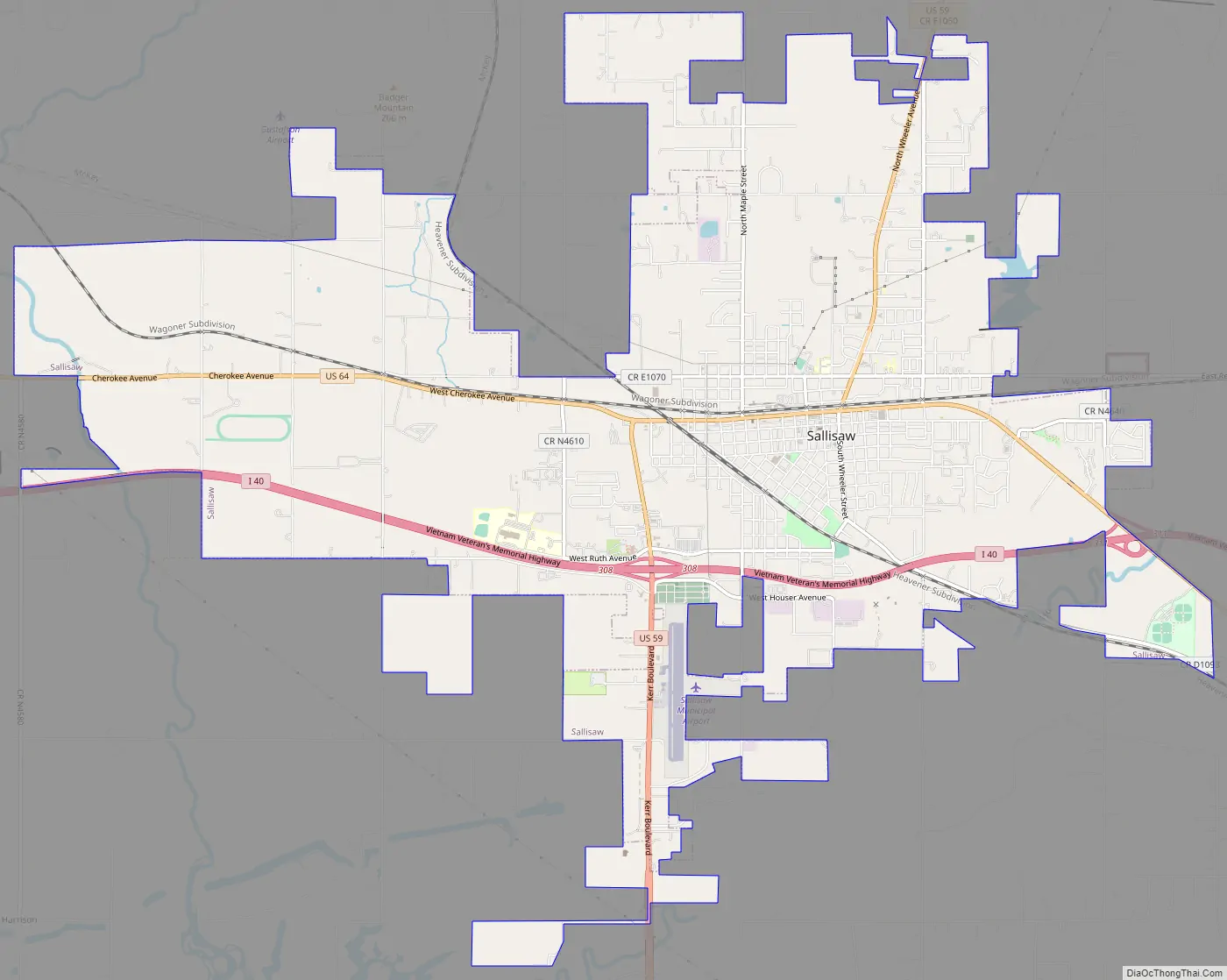
Sallisaw Road Map
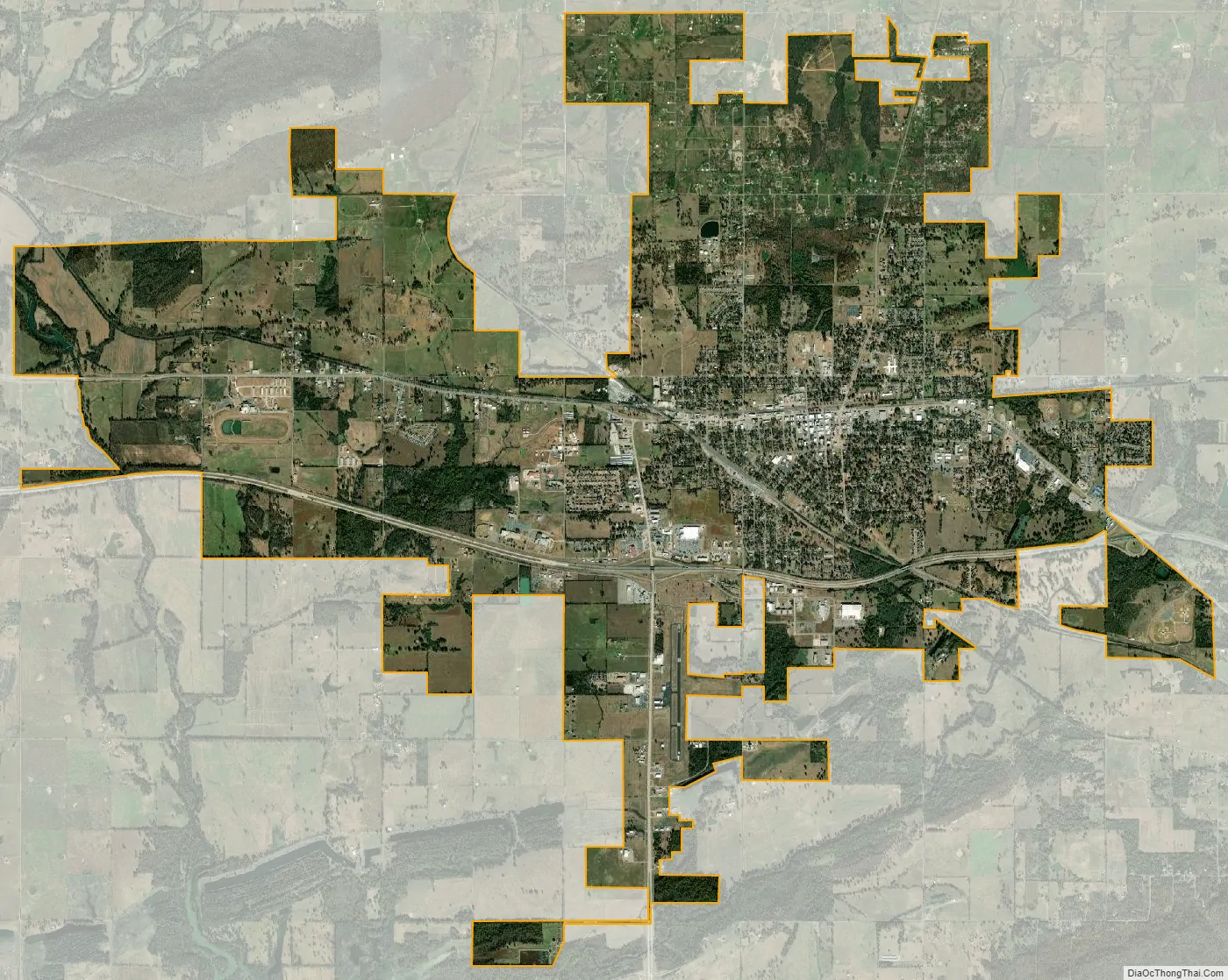
Sallisaw city Satellite Map
Geography
Sallisaw is located at 35°27′29″N 94°47′40″W / 35.45806°N 94.79444°W / 35.45806; -94.79444 (35.457978, −94.794421). According to the United States Census Bureau, the city has a total area of 12.9 square miles (33 km), of which 12.7 square miles (33 km) is land and 0.2 square miles (0.52 km) (1.40%) is water.
The city lies within the Green Country region of eastern Oklahoma, known for its rolling green hills. It has three highways running through it: U.S. 59, or Kerr Boulevard, U.S. 64, or Cherokee Avenue, which is the city’s main street, and I-40. Sallisaw is located in the central area of the county, 14 miles (23 km) from Muldrow, 11 miles (18 km) from Vian, 19 miles (31 km) from Roland and 22 miles (35 km) from Fort Smith, Arkansas.
According to the Encyclopedia of Oklahoma History and Culture, nearby geographic features include Wildhorse Mountain to the south, Badger Mountain to the northwest, and Lone Pine Mountain to the northeast.
See also
Map of Oklahoma State and its subdivision:- Adair
- Alfalfa
- Atoka
- Beaver
- Beckham
- Blaine
- Bryan
- Caddo
- Canadian
- Carter
- Cherokee
- Choctaw
- Cimarron
- Cleveland
- Coal
- Comanche
- Cotton
- Craig
- Creek
- Custer
- Delaware
- Dewey
- Ellis
- Garfield
- Garvin
- Grady
- Grant
- Greer
- Harmon
- Harper
- Haskell
- Hughes
- Jackson
- Jefferson
- Johnston
- Kay
- Kingfisher
- Kiowa
- Latimer
- Le Flore
- Lincoln
- Logan
- Love
- Major
- Marshall
- Mayes
- McClain
- McCurtain
- McIntosh
- Murray
- Muskogee
- Noble
- Nowata
- Okfuskee
- Oklahoma
- Okmulgee
- Osage
- Ottawa
- Pawnee
- Payne
- Pittsburg
- Pontotoc
- Pottawatomie
- Pushmataha
- Roger Mills
- Rogers
- Seminole
- Sequoyah
- Stephens
- Texas
- Tillman
- Tulsa
- Wagoner
- Washington
- Washita
- Woods
- Woodward
- Alabama
- Alaska
- Arizona
- Arkansas
- California
- Colorado
- Connecticut
- Delaware
- District of Columbia
- Florida
- Georgia
- Hawaii
- Idaho
- Illinois
- Indiana
- Iowa
- Kansas
- Kentucky
- Louisiana
- Maine
- Maryland
- Massachusetts
- Michigan
- Minnesota
- Mississippi
- Missouri
- Montana
- Nebraska
- Nevada
- New Hampshire
- New Jersey
- New Mexico
- New York
- North Carolina
- North Dakota
- Ohio
- Oklahoma
- Oregon
- Pennsylvania
- Rhode Island
- South Carolina
- South Dakota
- Tennessee
- Texas
- Utah
- Vermont
- Virginia
- Washington
- West Virginia
- Wisconsin
- Wyoming