Gore is a town in western Sequoyah County, Oklahoma, United States. It is part of the Fort Smith, Arkansas-Oklahoma Metropolitan Statistical Area. The population was 977 at the 2010 census, an increase of 15 percent over the figure of 850 recorded in 2000.
Gore claims to be the “trout capital of Oklahoma“, with great fishing in Lake Tenkiller, the Illinois River, and the Arkansas River.
| Name: | Gore town |
|---|---|
| LSAD Code: | 43 |
| LSAD Description: | town (suffix) |
| State: | Oklahoma |
| County: | Sequoyah County |
| Elevation: | 495 ft (151 m) |
| Total Area: | 2.29 sq mi (5.92 km²) |
| Land Area: | 2.28 sq mi (5.91 km²) |
| Water Area: | 0.00 sq mi (0.01 km²) |
| Total Population: | 951 |
| Population Density: | 416.56/sq mi (160.83/km²) |
| ZIP code: | 74435 |
| Area code: | 539/918 |
| FIPS code: | 4030300 |
| GNISfeature ID: | 1093268 |
| Website: | www.townofgore.org |
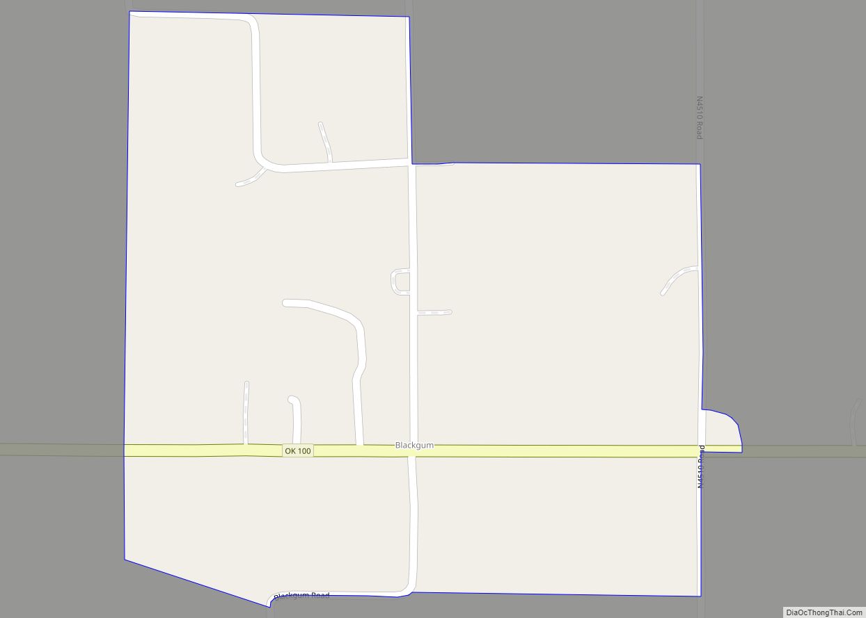
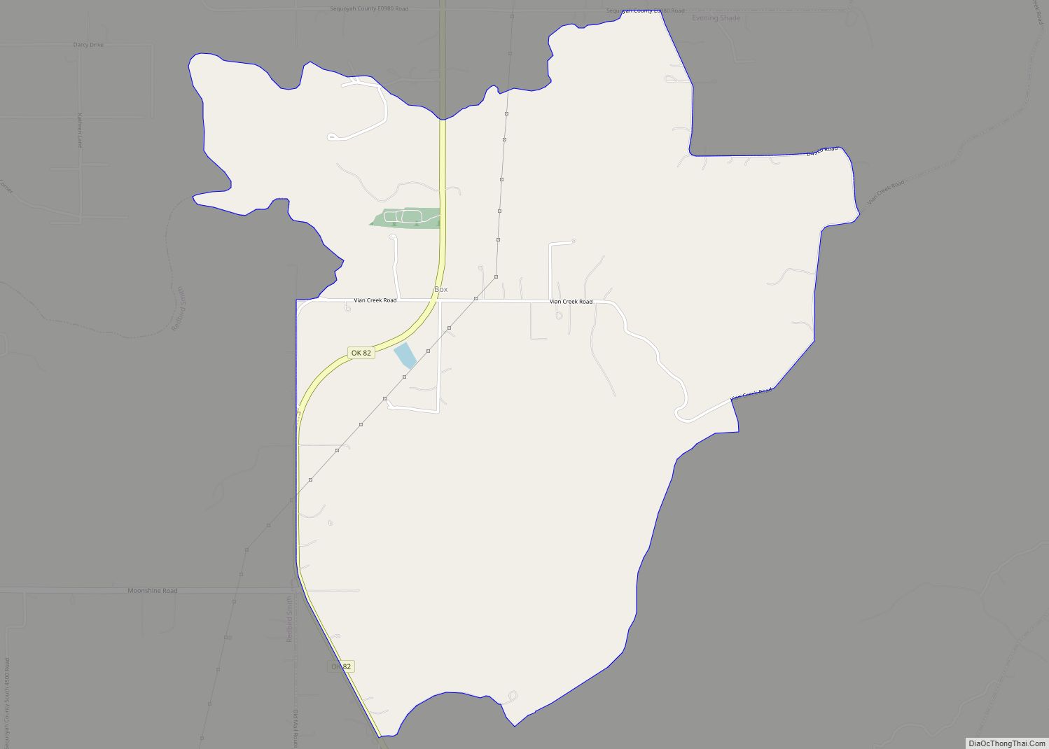
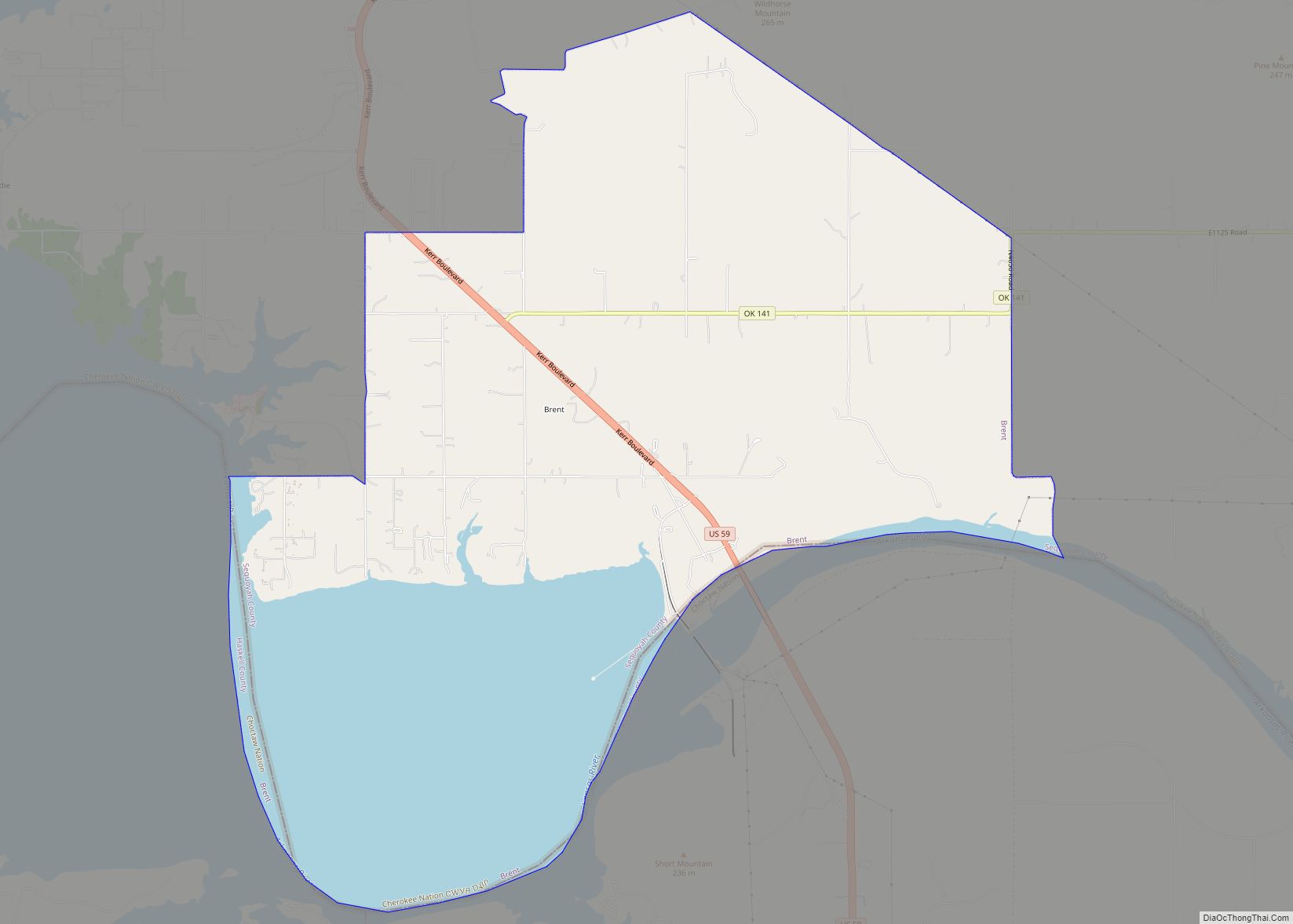
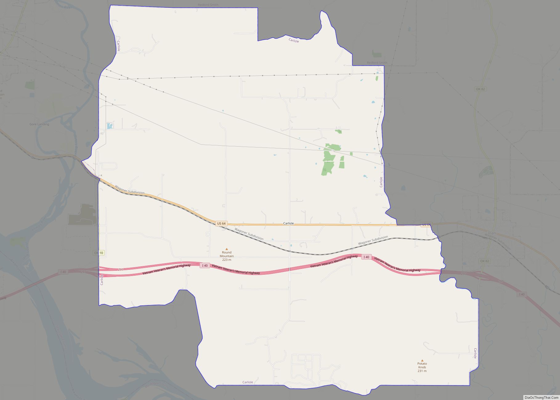
Online Interactive Map
Click on ![]() to view map in "full screen" mode.
to view map in "full screen" mode.
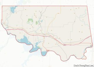
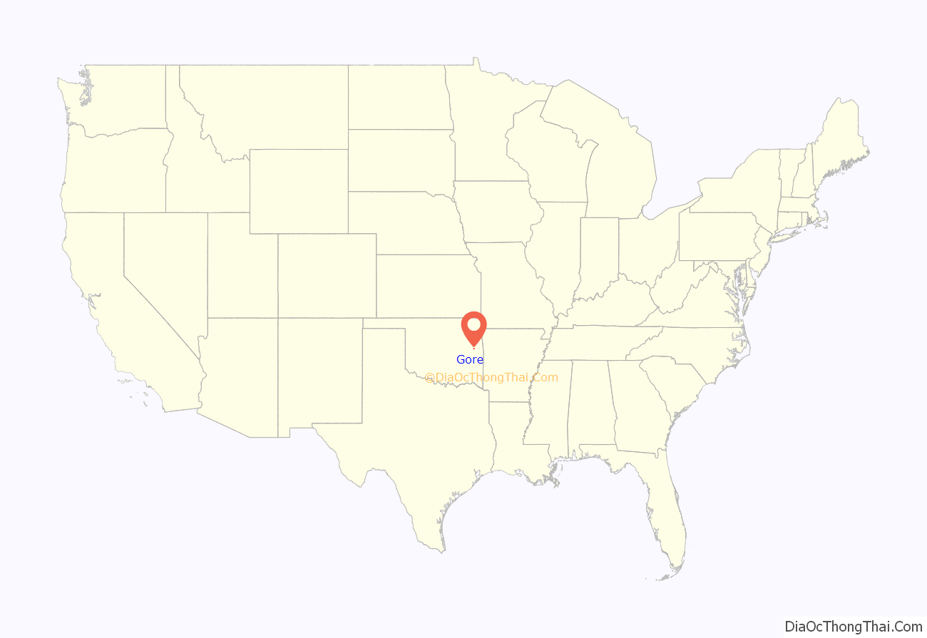
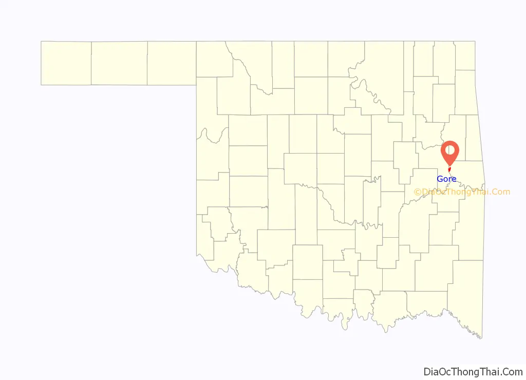
Gore location map. Where is Gore town?
History
This community began as a small settlement in Indian Territory known as Campbell, named for Dr. W. W. Campbell, who, along with Joe Lynch, operated a ferry across the Arkansas River between Campbell and Webbers Falls. Tahlonteskee, the capital of the Western Cherokee from 1828–1839, was near here, just two miles to the north of town. In 1829, John Jolly, chief of the Cherokee Nation–West, built a home in this area.
The settlement was also known as Illinois Station or “Illinois Station, Campbell Post Office.” It became a stage stop on the route between Fort Gibson and Fort Smith. A post office designation of Campbell was assigned to Dr. Campbell’s store in 1888. Also in 1888, the St. Louis, Iron Mountain and Southern Railway (later the Missouri Pacific Railway) built a rail line through the settlement.
By 1909, the town had a bank, two lumber companies, a flour mill, a cotton gin, two hotels, and numerous retail outlets. The town changed its name on October 22, 1909 in honor of Oklahoma Senator Thomas Gore, who was serving as one of Oklahoma’s U. S. senators immediately after statehood. A fire destroyed most of the business district in 1909. Gore had a population of 319 by the 1910 U. S. census.
The town almost got a second rail line in 1917 when Congress approved construction by the Webbers Falls Railroad of a bridge over the Arkansas from Webbers Falls. However, that railroad was instead scrapped in 1918.
Kerr-McGee built the Sequoyah Fuels Corporation uranium mill on a 300 acres (120 ha) tract located 3 miles (4.8 km) east of Gore to convert uranium ore into uranium hexafluoride (UF6). The UF6 plant was bought by General Atomics in 1988, and closed in 1993.
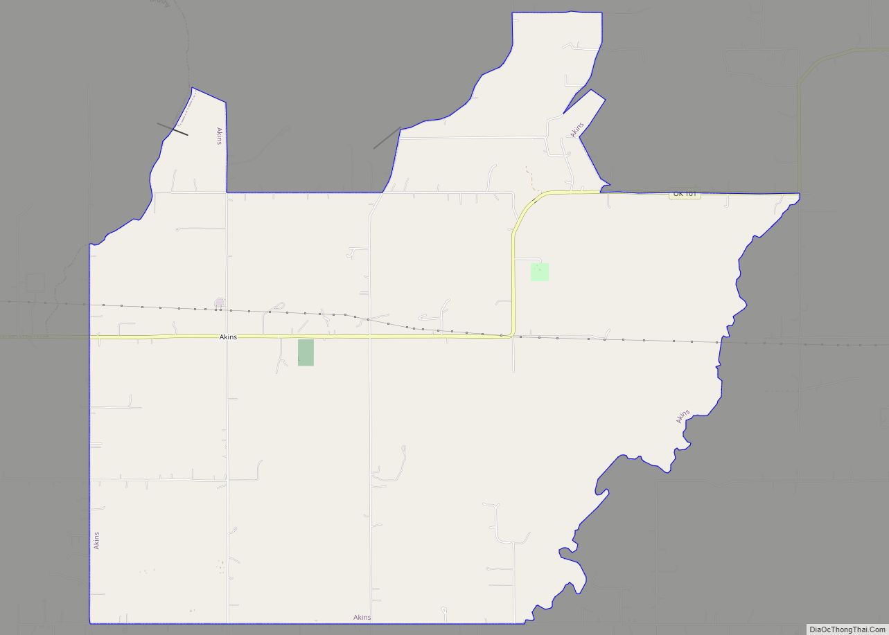
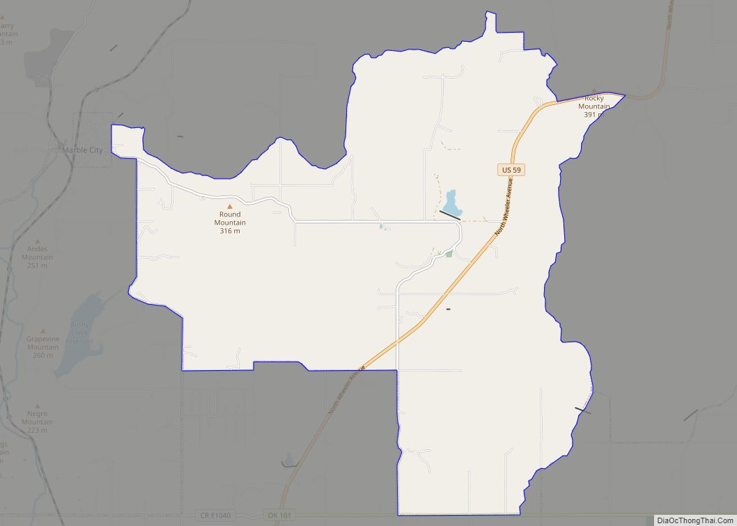
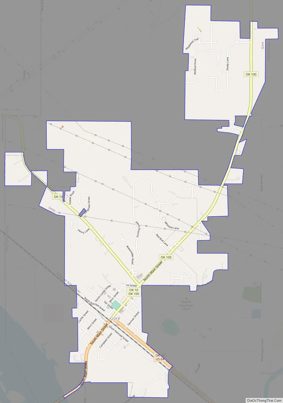
Gore Road Map
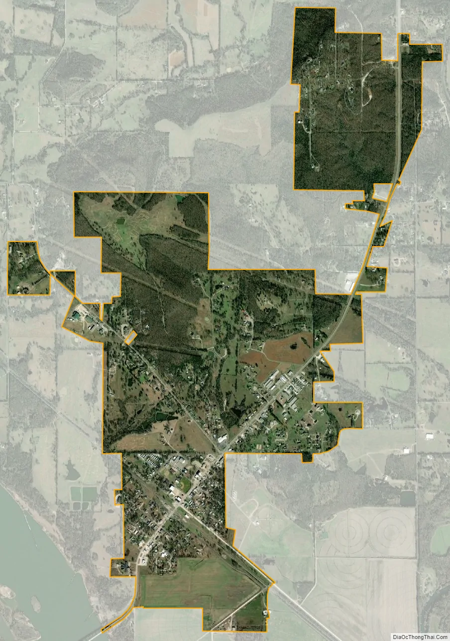
Gore city Satellite Map
Geography
Gore is located at 35°31′58″N 95°06′54″W / 35.532851°N 95.115032°W / 35.532851; -95.115032. According to the United States Census Bureau, the town has a total area of 2.3 square miles (6.0 km), all land.
See also
Map of Oklahoma State and its subdivision:- Adair
- Alfalfa
- Atoka
- Beaver
- Beckham
- Blaine
- Bryan
- Caddo
- Canadian
- Carter
- Cherokee
- Choctaw
- Cimarron
- Cleveland
- Coal
- Comanche
- Cotton
- Craig
- Creek
- Custer
- Delaware
- Dewey
- Ellis
- Garfield
- Garvin
- Grady
- Grant
- Greer
- Harmon
- Harper
- Haskell
- Hughes
- Jackson
- Jefferson
- Johnston
- Kay
- Kingfisher
- Kiowa
- Latimer
- Le Flore
- Lincoln
- Logan
- Love
- Major
- Marshall
- Mayes
- McClain
- McCurtain
- McIntosh
- Murray
- Muskogee
- Noble
- Nowata
- Okfuskee
- Oklahoma
- Okmulgee
- Osage
- Ottawa
- Pawnee
- Payne
- Pittsburg
- Pontotoc
- Pottawatomie
- Pushmataha
- Roger Mills
- Rogers
- Seminole
- Sequoyah
- Stephens
- Texas
- Tillman
- Tulsa
- Wagoner
- Washington
- Washita
- Woods
- Woodward
- Alabama
- Alaska
- Arizona
- Arkansas
- California
- Colorado
- Connecticut
- Delaware
- District of Columbia
- Florida
- Georgia
- Hawaii
- Idaho
- Illinois
- Indiana
- Iowa
- Kansas
- Kentucky
- Louisiana
- Maine
- Maryland
- Massachusetts
- Michigan
- Minnesota
- Mississippi
- Missouri
- Montana
- Nebraska
- Nevada
- New Hampshire
- New Jersey
- New Mexico
- New York
- North Carolina
- North Dakota
- Ohio
- Oklahoma
- Oregon
- Pennsylvania
- Rhode Island
- South Carolina
- South Dakota
- Tennessee
- Texas
- Utah
- Vermont
- Virginia
- Washington
- West Virginia
- Wisconsin
- Wyoming