Tahlequah (/ˈtæləkwɑː/ TAL-ə-kwah; Cherokee: ᏓᎵᏆ, daligwa [dàlígʷã́]) is a city in Cherokee County, Oklahoma located at the foothills of the Ozark Mountains. It is part of the Green Country region of Oklahoma and was established as a capital of the 19th-century Cherokee Nation in 1839, as part of the new settlement in Indian Territory after the Cherokee Native Americans were forced west from the American Southeast on the Trail of Tears.
The city’s population was 15,753 at the 2010 census, an increase of 8.96 percent over the figure of 14,458 reported in 2000. The 2019 estimated population is 16,819.
Tahlequah is the capital of the two federally recognized Cherokee tribes based in Oklahoma, the modern Cherokee Nation and the United Keetoowah Band of Cherokee Indians. Tahlequah is also the county seat of Cherokee County. The main campus of Northeastern State University is located in the city.
| Name: | Tahlequah city |
|---|---|
| LSAD Code: | 25 |
| LSAD Description: | city (suffix) |
| State: | Oklahoma |
| County: | Cherokee County |
| Elevation: | 797 ft (243 m) |
| Total Area: | 12.87 sq mi (33.33 km²) |
| Land Area: | 12.77 sq mi (33.06 km²) |
| Water Area: | 0.10 sq mi (0.27 km²) |
| Total Population: | 16,209 |
| Population Density: | 1,269.70/sq mi (490.24/km²) |
| ZIP code: | 74464-74465 |
| Area code: | 539/918 |
| FIPS code: | 4072100 |
| GNISfeature ID: | 1098721 |
| Website: | www.cityoftahlequah.com |
Online Interactive Map
Click on ![]() to view map in "full screen" mode.
to view map in "full screen" mode.
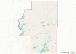
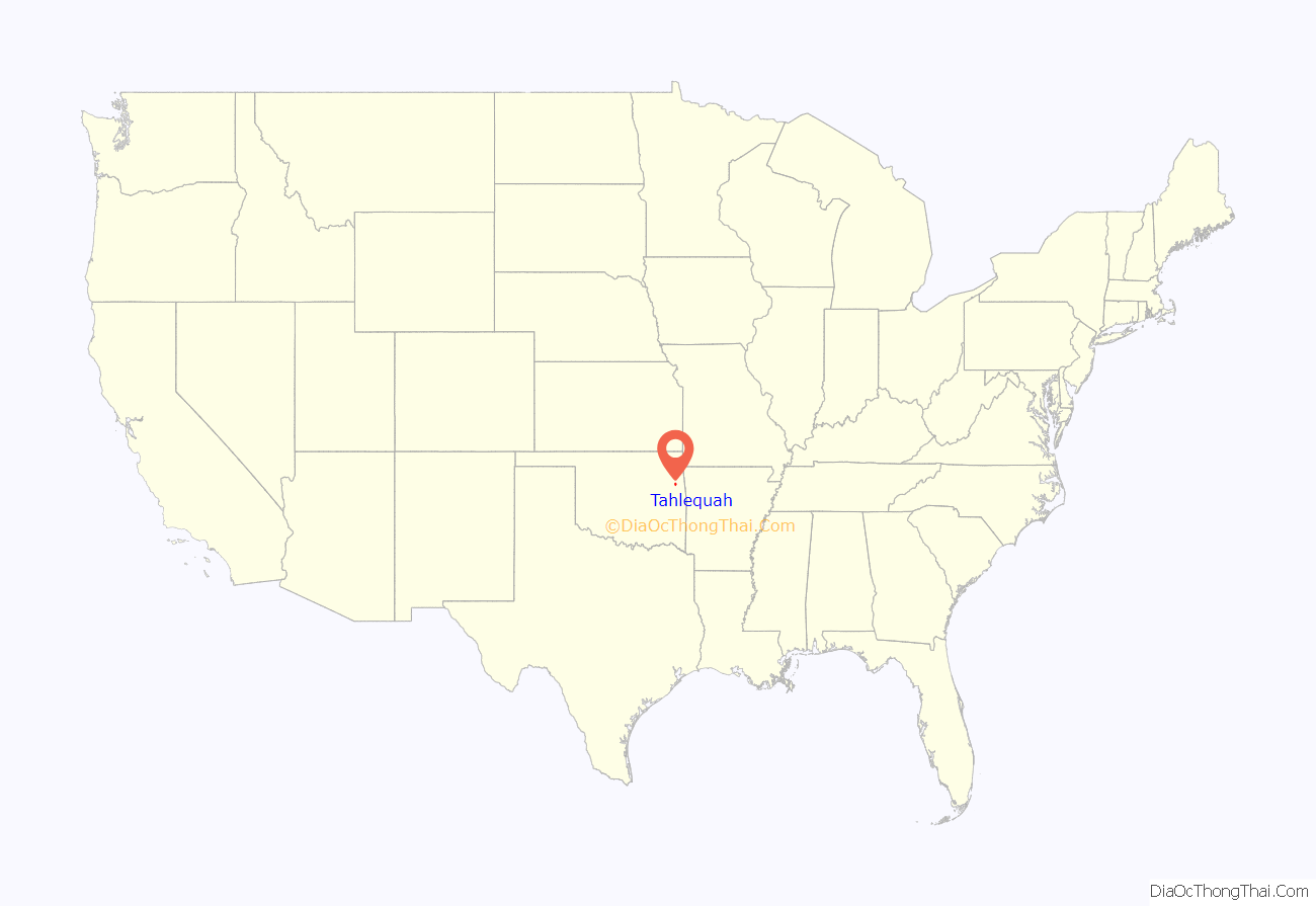
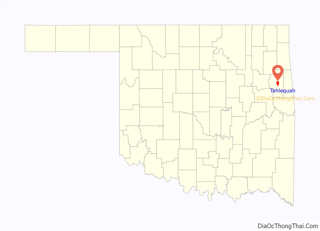
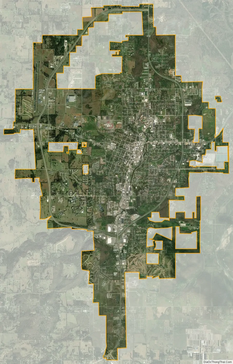
Tahlequah location map. Where is Tahlequah city?
History
Background
Tahlonteeskee was the first established governmental capital of any kind in what was to become Oklahoma. It was established in 1828—in land that was part of 1816’s Lovely Donations, becoming the first Cherokee Nation–West capital city. It continued as the capital until 1839 when new arrivals from the Trail of Tears flooded the area. At that time, Takatoka briefly became the Nation’s capital during the construction of the capitol building at Tahlequah. By mid-1840, the seat of government had been officially moved to Tahlequah.
By 1842, Tahlequah was a growing community and had four stores. The town site of 160 acres (65 ha) was surveyed in 1843, and in the same year an intertribal council attracted ten thousand participants representing 21 different tribes. In 1844 the National Hotel was built, and the newspaper Cherokee Advocate issued its first edition using a printing press installed in the brand-new Supreme Court building. The first school opened in 1845, and the Tahlequah post office opened in 1847. The Cherokee Male Seminary opened in 1851, offering higher education to Cherokee boys who had already received their primary education.
Etymology
Many linguists believe the word ‘Tahlequah’ (Tah-le-quah) and the word ‘Teh-li-co’ are the same as ‘di li gwa’, the Cherokee word for grain or rice. (See Cherokee Nation Lexicon (dikaneisdi) at cherokee.org under culture/language). Scholars report the Cherokee word ‘di li gwa’ describes a type of native grain with a red hue that grew in the flat open areas of east Tennessee. One area, Great Tellico (Tellico Plains, Tennessee), was named for the grass with the red seed tops. Others interpret a word ‘tel-i-quah’ as ‘plains’; however, there is no word for ‘plains’ in the Cherokee lexicon, and the word ‘tel-i-quah’ is not found in the lexicon. The idea that ‘tahlequah’ means ‘plains’ lends weight to the belief that the name refers to the wide open grassy areas of Great Tellico.
Local legend states the name is derived from Cherokee words ‘ta-li’ and ‘ye-li-quu’ meaning ‘just two’ or ‘two is enough’. Supposedly three tribal elders had planned to meet to determine the location of the Cherokee Nation’s permanent capital. Two elders arrived and waited for the third. As dusk approached, they decided that ‘two is enough’, or ‘ta-li-ye-li-quu’ which later became anglicanized to Tahlequah. According to tribal elders and Cherokee County elders, this legend first began to circulate in the 1930s. Tahlequah was a settlement as early as 1832. After the Western Cherokee agreed in 1834 to let the newer migrants settle near them, they joined their government with the Eastern Cherokee at Tahlequah in 1839. Tahlequah was named long before it was chosen as the Cherokee capital.
Cherokee Nation capital
In 1839, Tahlequah was designated the capital of ancestors of both the Cherokee Nation and the United Keetoowah Band of Cherokee Indians. Initially the government buildings were a complex of log or framed structures. Most of these buildings were destroyed during the Civil War, during which the Cherokee became divided into two bitterly opposing sides. The Cherokee Supreme Court Building, located in downtown Tahlequah and constructed in 1844, is the oldest public building in Oklahoma.
Several markers of Cherokee and Native American heritage are found in town: street signs and business signs are noted in both the Cherokee language and English. Such signs use the syllabary created by Sequoyah, a Cherokee scholar of the 1820s who created the writing system.
Post Civil War rebuilding and development
After the war, a brick capitol was built and first occupied in 1870. In 1907, at the time of Oklahoma statehood, the building was converted into the Cherokee County courthouse. It was returned to the Cherokee Nation in 1970.
In 1886, the first telephone company in Indian Territory was built. The Cherokee Female Seminary, which had originally been constructed in Park Hill, burned in 1887, and was rebuilt in Tahlequah. After statehood, it was taken over by the state to become Northeastern State Normal School and the Northeastern State Teachers College (now Northeastern State University). The first bank in the Cherokee Nation opened in 1891 on Muskogee Avenue.
A major fire destroyed much of downtown Tahlequah in 1895. The buildings destroyed were mostly wooden and were replaced with brick structures.
In 1902, the Ozark and Cherokee Central Railway built a line into Tahlequah.
Tahlequah continued to grow. During the 1990s, it was the fourth fastest growing city in Oklahoma.
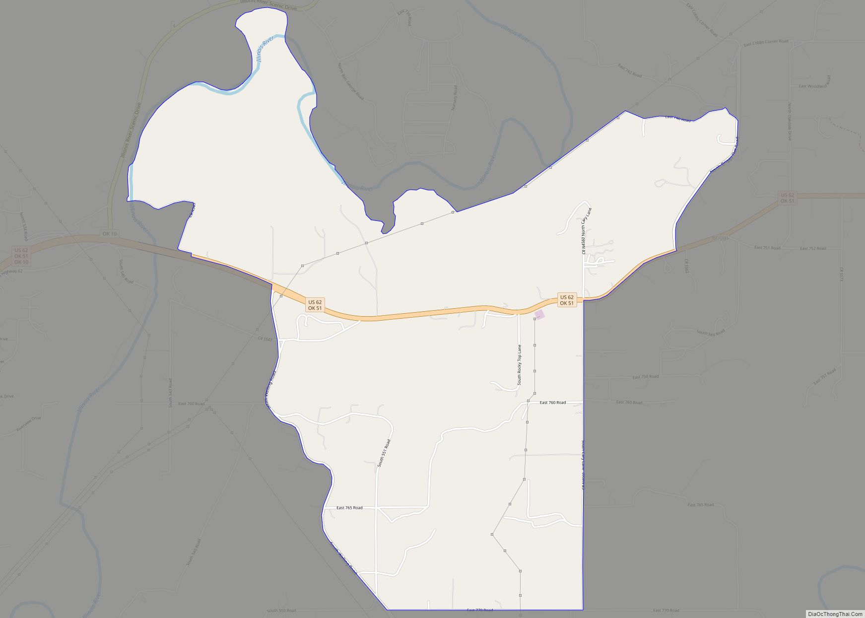
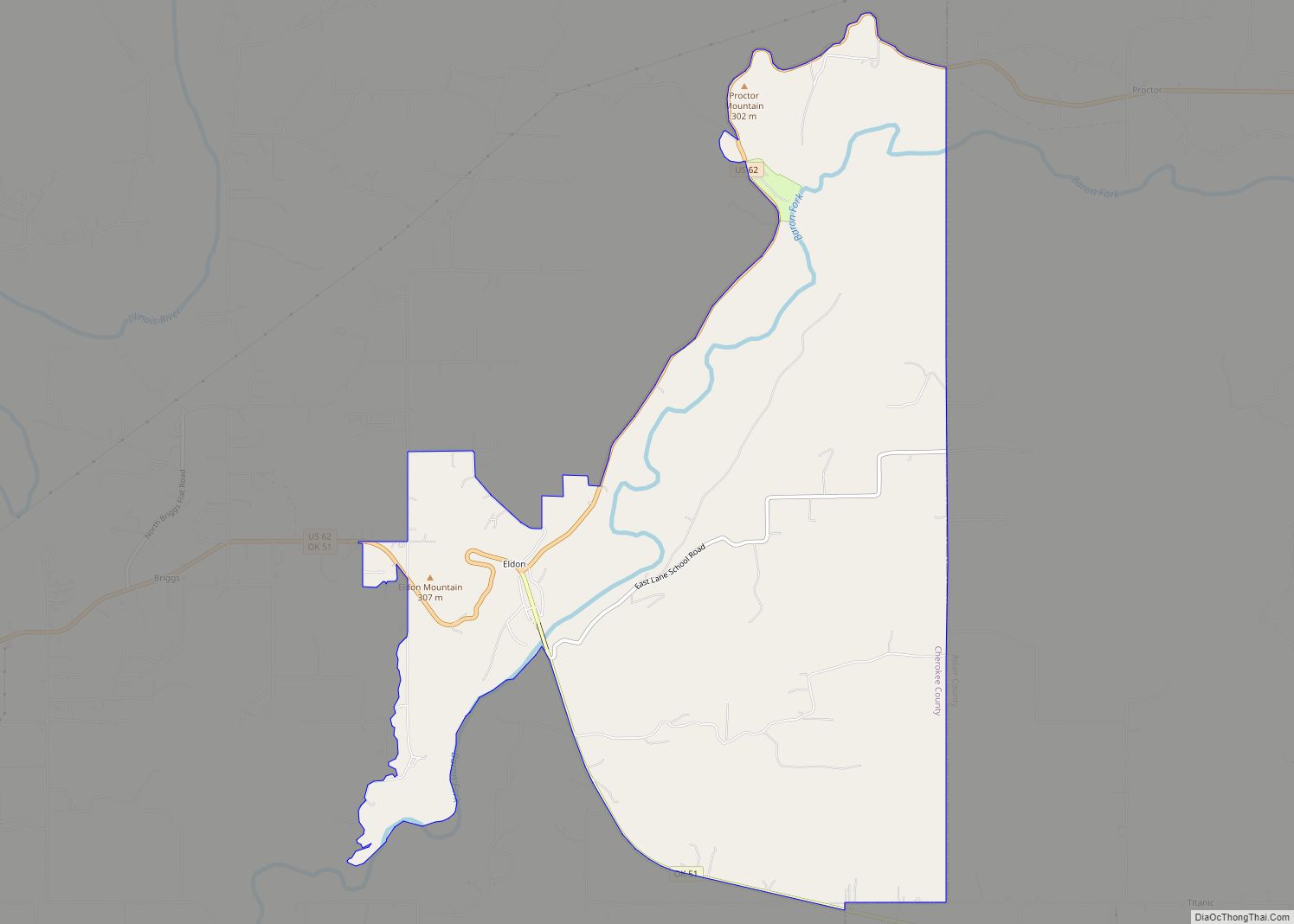
Tahlequah Road Map
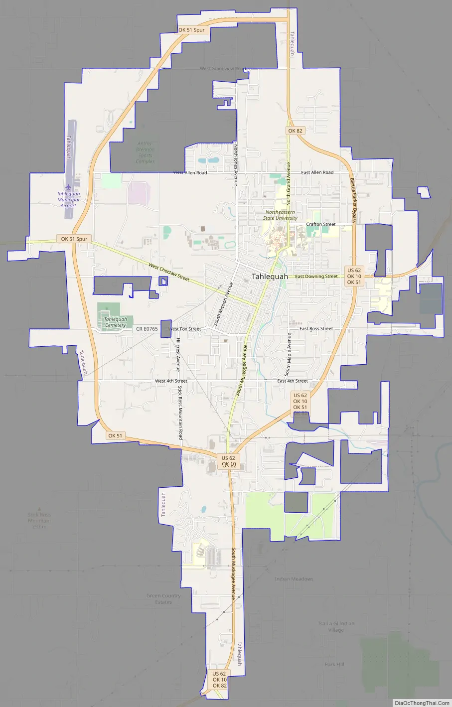
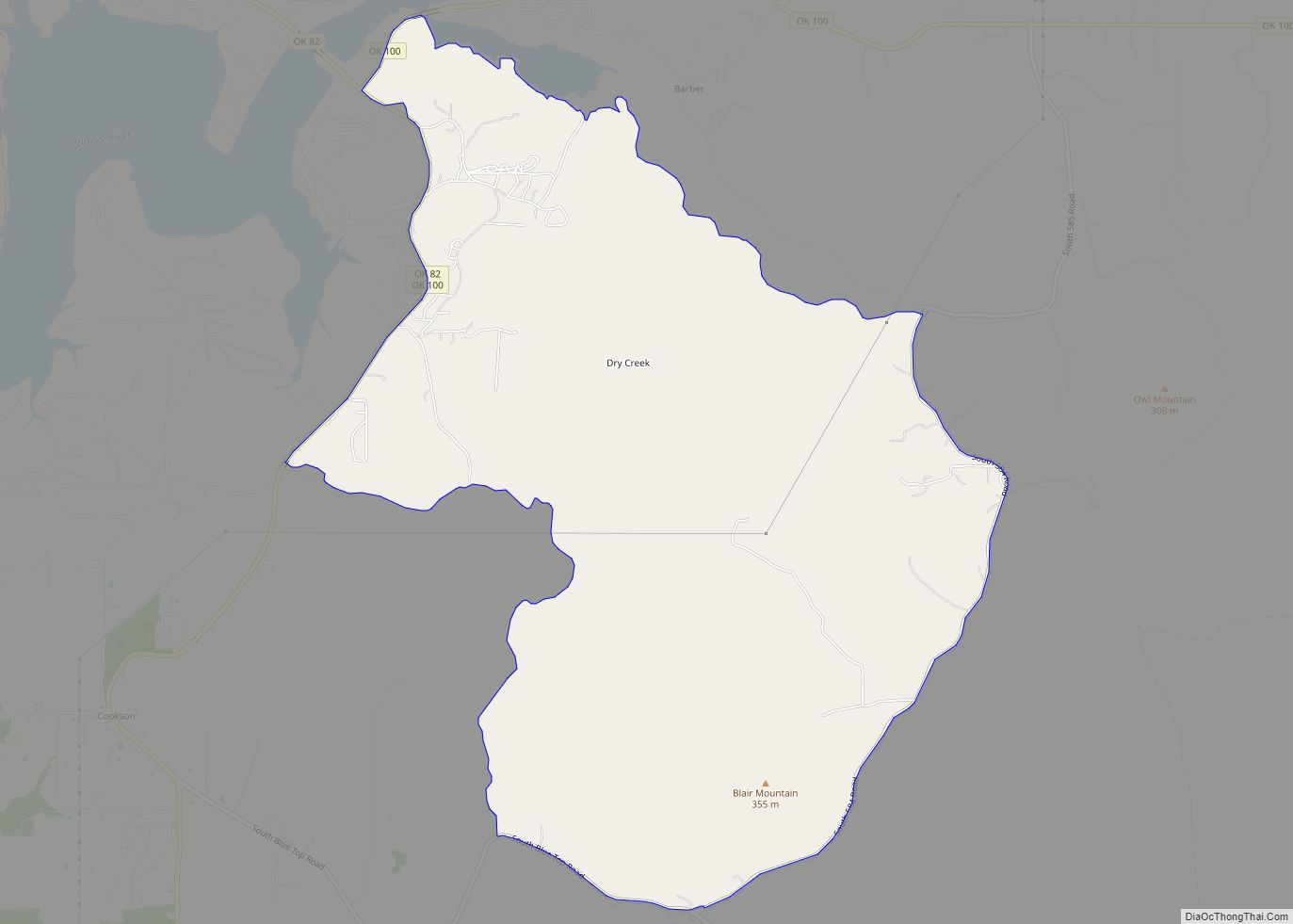
Tahlequah city Satellite Map
Geography
Tahlequah is located at 35°54′55″N 94°58′12″W / 35.91528°N 94.97000°W / 35.91528; -94.97000 (35.9153700, -94.9699560). The city has a total area of 12.45 square miles (32.2 km), all land. The city is 40 miles (64 km) west of the Arkansas state line.
See also
Map of Oklahoma State and its subdivision:- Adair
- Alfalfa
- Atoka
- Beaver
- Beckham
- Blaine
- Bryan
- Caddo
- Canadian
- Carter
- Cherokee
- Choctaw
- Cimarron
- Cleveland
- Coal
- Comanche
- Cotton
- Craig
- Creek
- Custer
- Delaware
- Dewey
- Ellis
- Garfield
- Garvin
- Grady
- Grant
- Greer
- Harmon
- Harper
- Haskell
- Hughes
- Jackson
- Jefferson
- Johnston
- Kay
- Kingfisher
- Kiowa
- Latimer
- Le Flore
- Lincoln
- Logan
- Love
- Major
- Marshall
- Mayes
- McClain
- McCurtain
- McIntosh
- Murray
- Muskogee
- Noble
- Nowata
- Okfuskee
- Oklahoma
- Okmulgee
- Osage
- Ottawa
- Pawnee
- Payne
- Pittsburg
- Pontotoc
- Pottawatomie
- Pushmataha
- Roger Mills
- Rogers
- Seminole
- Sequoyah
- Stephens
- Texas
- Tillman
- Tulsa
- Wagoner
- Washington
- Washita
- Woods
- Woodward
- Alabama
- Alaska
- Arizona
- Arkansas
- California
- Colorado
- Connecticut
- Delaware
- District of Columbia
- Florida
- Georgia
- Hawaii
- Idaho
- Illinois
- Indiana
- Iowa
- Kansas
- Kentucky
- Louisiana
- Maine
- Maryland
- Massachusetts
- Michigan
- Minnesota
- Mississippi
- Missouri
- Montana
- Nebraska
- Nevada
- New Hampshire
- New Jersey
- New Mexico
- New York
- North Carolina
- North Dakota
- Ohio
- Oklahoma
- Oregon
- Pennsylvania
- Rhode Island
- South Carolina
- South Dakota
- Tennessee
- Texas
- Utah
- Vermont
- Virginia
- Washington
- West Virginia
- Wisconsin
- Wyoming