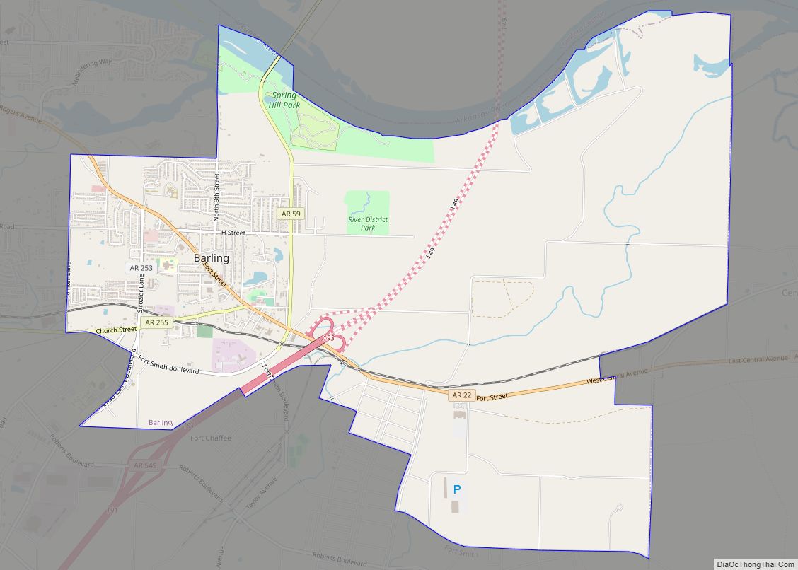
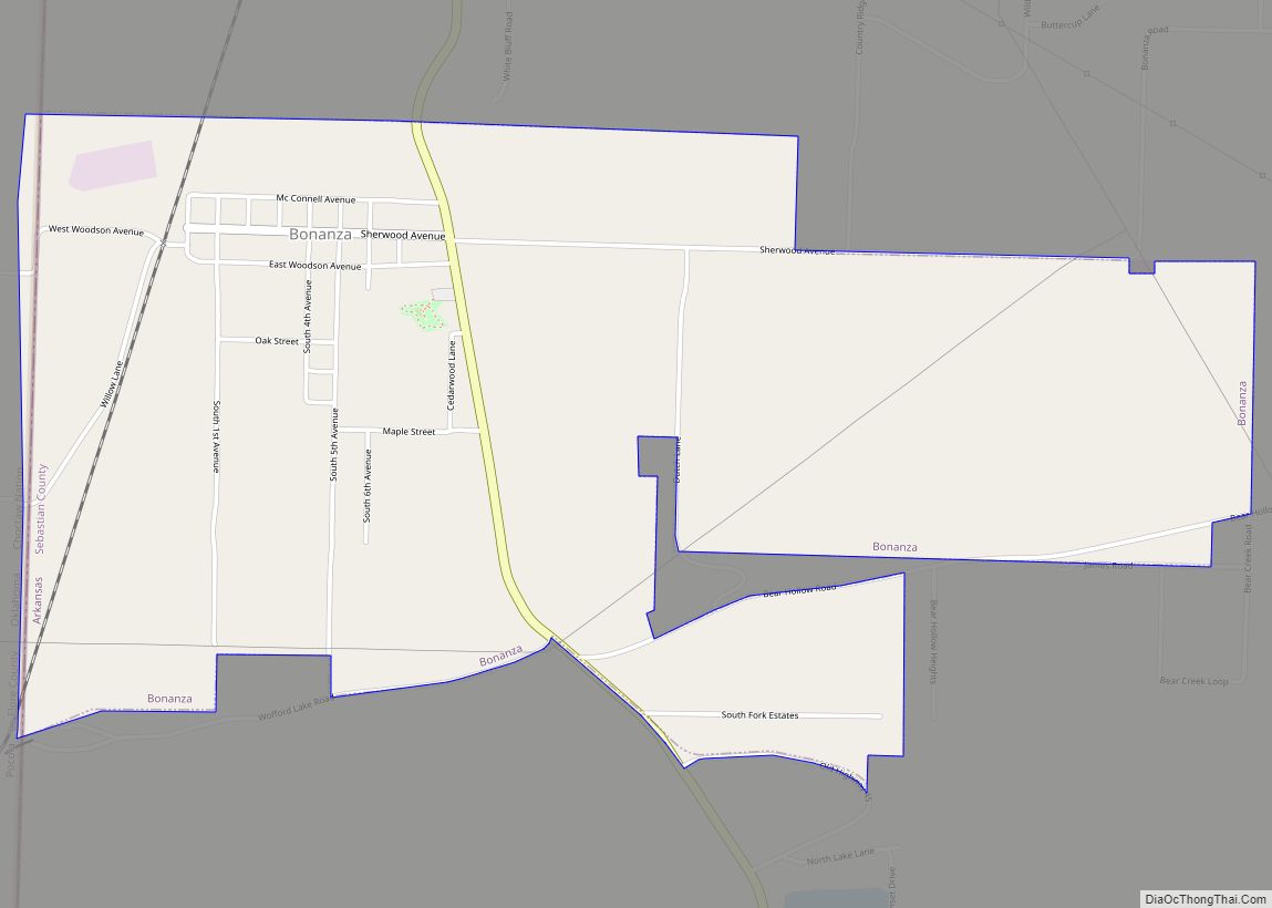
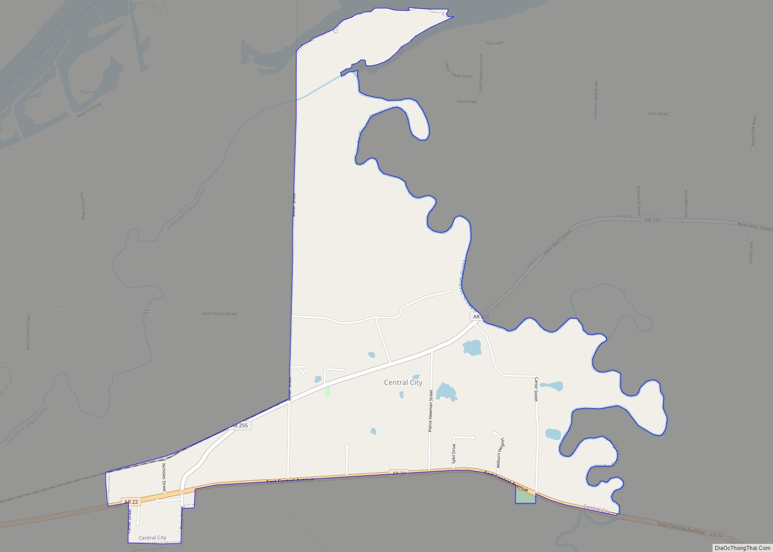
Sebastian County is a county located in the U.S. state of Arkansas. As of the 2020 census, the population was 127,799, making it the fourth-most populous county in Arkansas. The county has two county seats, Greenwood and Fort Smith.
Sebastian County is part of the Fort Smith, AR-OK Metropolitan Statistical Area.
| Name: | Sebastian County |
|---|---|
| FIPS code: | 05-131 |
| State: | Arkansas |
| Founded: | January 6, 1851 |
| Named for: | William K. Sebastian |
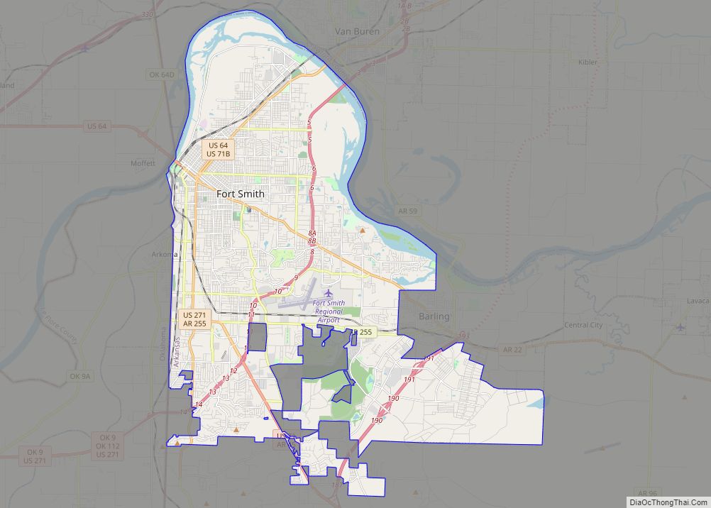
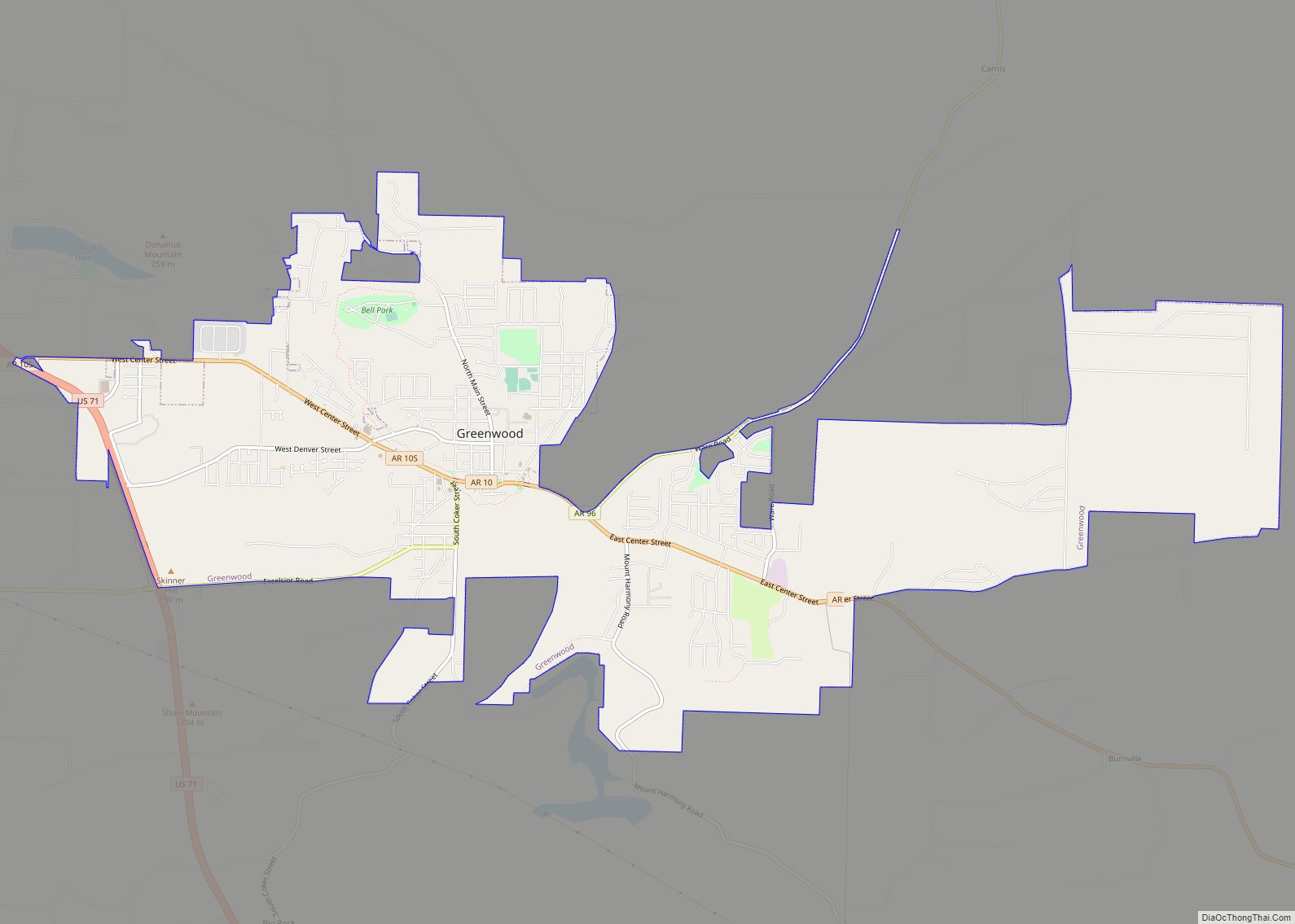
| Seat: | Fort Smith (northern district); Greenwood (southern district) |
| Largest city: | Fort Smith |
| Total Area: | 546 sq mi (1,410 km²) |
| Land Area: | 532 sq mi (1,380 km²) |
| Total Population: | 127,799 |
| Population Density: | 230/sq mi (90/km²) |
| Time zone: | UTC−6 (Central) |
| Summer Time Zone (DST): | UTC−5 (CDT) |
| Website: | www.sebastiancountyar.gov |
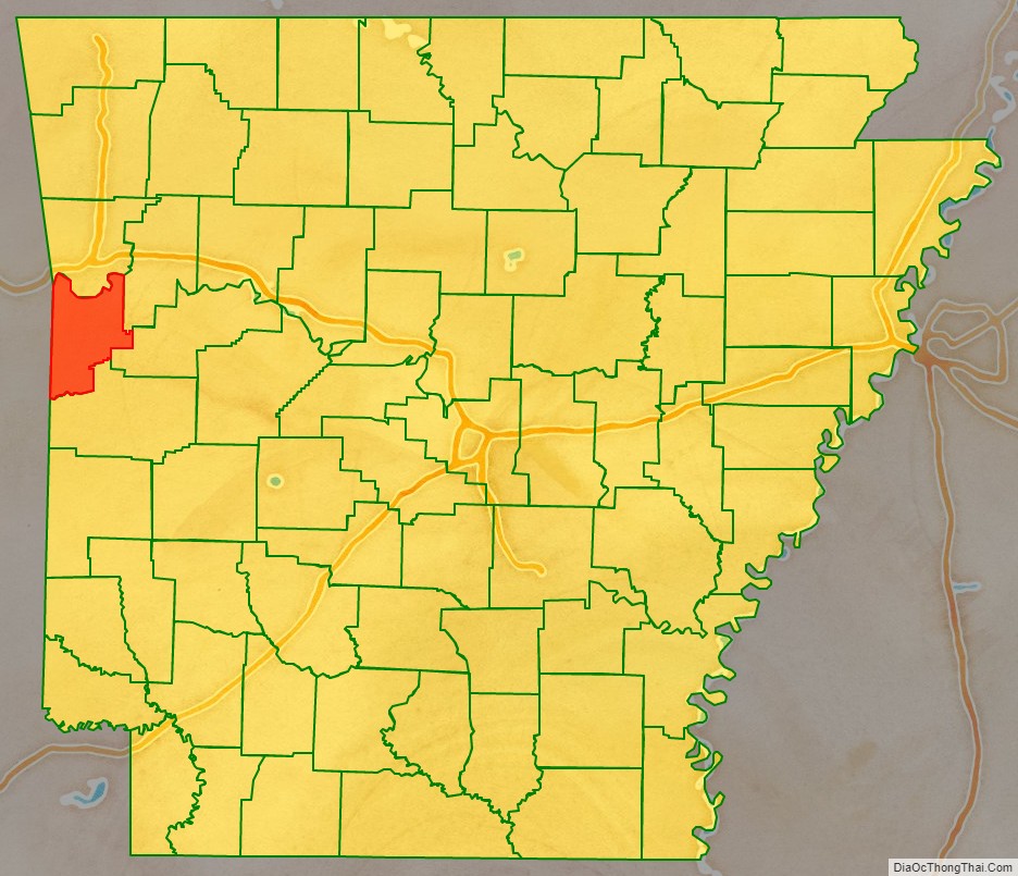
Sebastian County location map. Where is Sebastian County?

History
Sebastian County is Arkansas’s 56th county, formed on January 6, 1851, and named for William K. Sebastian, United States Senator from Arkansas.
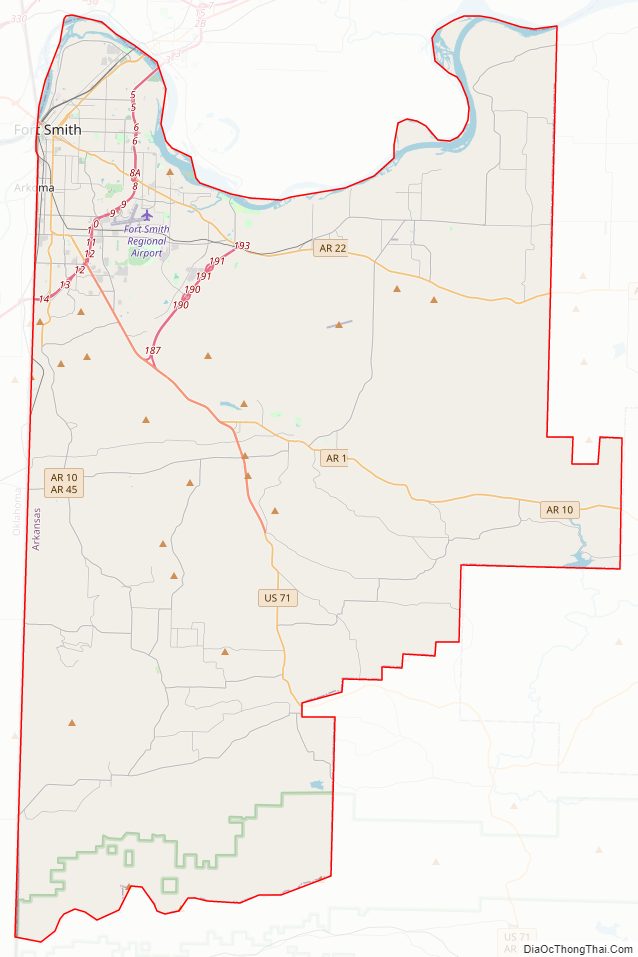
Sebastian County Road Map
Geography
According to the U.S. Census Bureau, the county has a total area of 546 square miles (1,410 km), of which 532 square miles (1,380 km) is land and 14 square miles (36 km) (2.6%) is water. It is the second-smallest county by area in Arkansas.
Major highways
- Interstate 49
- Interstate 540
- U.S. Highway 64
- U.S. Highway 71
- U.S. Highway 271
- State Route 10
- State Route 22
- State Route 45
- State Route 59
- State Route 96
Adjacent counties
- Crawford County (north)
- Franklin County (east)
- Logan County (southeast)
- Scott County (south)
- Le Flore County, Oklahoma (southwest)
- Sequoyah County, Oklahoma (northwest)
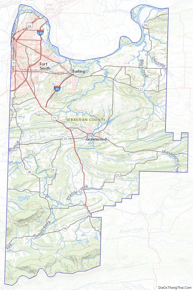
National protected areas
- Fort Smith National Historic Site (part)
- Ouachita National Forest (part)
Sebastian County Topographic Map
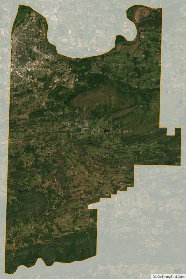
Sebastian County Satellite Map
Sebastian County Outline Map