Arlington is a town in Shelby County, Tennessee, United States. The population was 2,569 at the 2000 census, 11,517 at the 2010 census, and 14,549 at the 2020 Census. From 2010 until 2020 the town’s population grew by 26.326%. It is one of the seven municipalities in Shelby County. The town lies wholly within the borders of Shelby County.
| Name: | Arlington town |
|---|---|
| LSAD Code: | 43 |
| LSAD Description: | town (suffix) |
| State: | Tennessee |
| County: | Shelby County |
| Elevation: | 282 ft (86 m) |
| Total Area: | 23.16 sq mi (59.99 km²) |
| Land Area: | 23.15 sq mi (59.96 km²) |
| Water Area: | 0.01 sq mi (0.03 km²) |
| Total Population: | 14,549 |
| Population Density: | 628.47/sq mi (242.65/km²) |
| ZIP code: | 38002, 38028 |
| Area code: | 901 |
| FIPS code: | 4701740 |
| GNISfeature ID: | 1304869 |
| Website: | www.townofarlington.org |
Online Interactive Map
Click on ![]() to view map in "full screen" mode.
to view map in "full screen" mode.
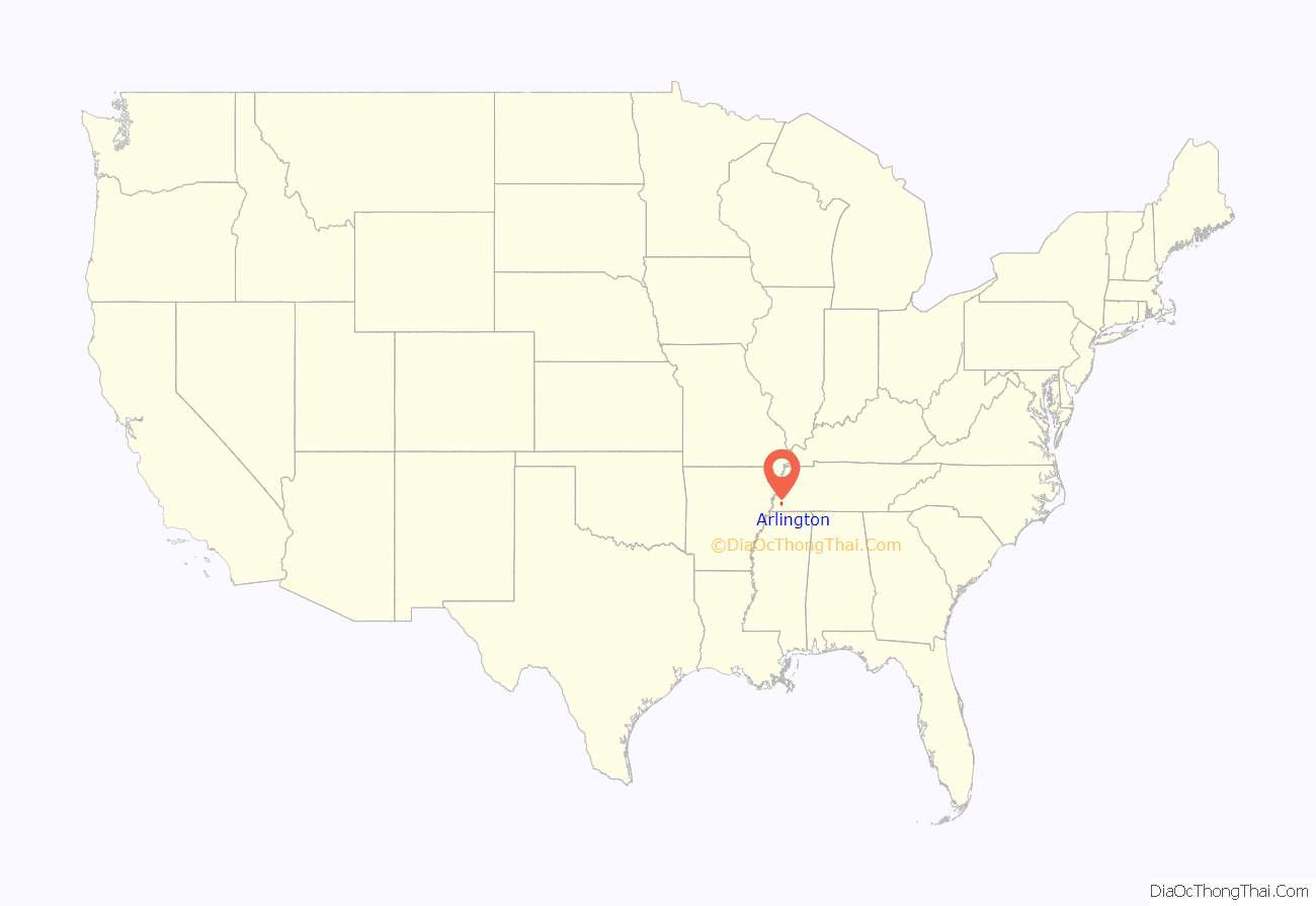
Arlington location map. Where is Arlington town?
History
Arlington has remained a small quiet rural town for two centuries.
Settlers came to the area in the 1830s, and many of their descendants still live in the town. Originally known as Haysville, the town was named after the original landowner, Samuel Jackson Hays, a nephew of President Andrew Jackson. The area began to grow with the development of the Memphis and Ohio Railroad and the creation of Withe Depot within its boundaries. By 1856, about 200 people called Haysville home. The outbreak of yellow fever in Memphis in 1878 contributed to the stagnant population as the town fathers quarantined the area, forbidding outsiders from entering the town. The town was incorporated as Haysville in 1878.
In 1883 the town’s name was changed to Arlington due to the post office being unable to use the name Haysville. In 1900 the town was incorporated again. Captain Henry Pittman, who lived in Haysville, had visited Washington, D.C. and Arlington National Cemetery and was inspired to call the town Arlington.
The economic crash of 1929 led to a small economic depression in the town, but Arlington’s economy gradually grew out of it due to the major change of highway 70 opening the town to outside businesses.
The towns first school was opened up in 1884. “Memphis District High School”, which was located on what is now known as “College Hill.” The school only taught up to a high school level, but locally it was named “The College”.
Arlington has a range of historical buildings that bring its past into view for all interested parties. Starting with the Rachel H.K. Museum, which is a museum in Arlington that has historical pieces of Arlington. Next is Arlington’s Blacksmith shop. There are fewer than 1,000 nationwide, and Arlington’s is an important one to the small town’s history. It was made in the 1800s and still is put to use during certain events throughout the year.
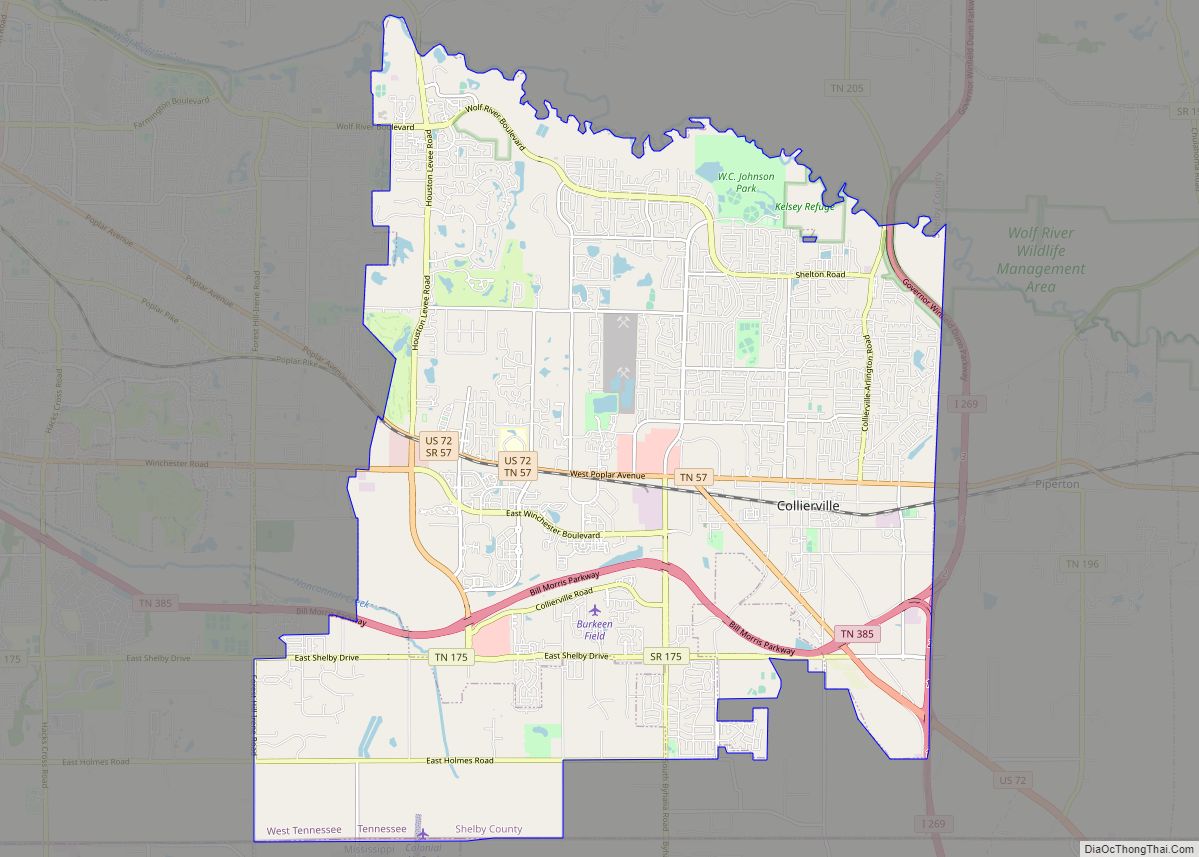
Arlington Road Map
Arlington city Satellite Map
Geography
According to the United States Census Bureau, the town has a total area of 20.4 square miles (53 km), of which 0.05% is water.
See also
Map of Tennessee State and its subdivision:- Anderson
- Bedford
- Benton
- Bledsoe
- Blount
- Bradley
- Campbell
- Cannon
- Carroll
- Carter
- Cheatham
- Chester
- Claiborne
- Clay
- Cocke
- Coffee
- Crockett
- Cumberland
- Davidson
- Decatur
- DeKalb
- Dickson
- Dyer
- Fayette
- Fentress
- Franklin
- Gibson
- Giles
- Grainger
- Greene
- Grundy
- Hamblen
- Hamilton
- Hancock
- Hardeman
- Hardin
- Hawkins
- Haywood
- Henderson
- Henry
- Hickman
- Houston
- Humphreys
- Jackson
- Jefferson
- Johnson
- Knox
- Lake
- Lauderdale
- Lawrence
- Lewis
- Lincoln
- Loudon
- Macon
- Madison
- Marion
- Marshall
- Maury
- McMinn
- McNairy
- Meigs
- Monroe
- Montgomery
- Moore
- Morgan
- Obion
- Overton
- Perry
- Pickett
- Polk
- Putnam
- Rhea
- Roane
- Robertson
- Rutherford
- Scott
- Sequatchie
- Sevier
- Shelby
- Smith
- Stewart
- Sullivan
- Sumner
- Tipton
- Trousdale
- Unicoi
- Union
- Van Buren
- Warren
- Washington
- Wayne
- Weakley
- White
- Williamson
- Wilson
- Alabama
- Alaska
- Arizona
- Arkansas
- California
- Colorado
- Connecticut
- Delaware
- District of Columbia
- Florida
- Georgia
- Hawaii
- Idaho
- Illinois
- Indiana
- Iowa
- Kansas
- Kentucky
- Louisiana
- Maine
- Maryland
- Massachusetts
- Michigan
- Minnesota
- Mississippi
- Missouri
- Montana
- Nebraska
- Nevada
- New Hampshire
- New Jersey
- New Mexico
- New York
- North Carolina
- North Dakota
- Ohio
- Oklahoma
- Oregon
- Pennsylvania
- Rhode Island
- South Carolina
- South Dakota
- Tennessee
- Texas
- Utah
- Vermont
- Virginia
- Washington
- West Virginia
- Wisconsin
- Wyoming
