Kill Devil Hills is a town in Dare County, North Carolina, United States. The population was 7,633 at the 2020 census, up from 6,683 in 2010. It is the most populous settlement in both Dare County and on the Outer Banks of North Carolina. The Kill Devil Hills Micropolitan Statistical Area is part of the larger Virginia Beach-Norfolk, VA-NC Combined Statistical Area.
The town was founded and developed on the site of the Wright brothers’ first controlled, powered airplane flights on December 17, 1903, chosen for its good winds. It was commemorated by the Wright Brothers National Memorial, which was dedicated in 1932. At the time of the Wright Flyer flights, the town of Kill Devil Hills did not exist, and it did not receive its municipal charter until 1953. Kitty Hawk, popularly noted as the site of the famous flights, is approximately four miles (6 km) to the north, and was the nearest settlement at the time of the famous flight.
| Name: | Kill Devil Hills town |
|---|---|
| LSAD Code: | 43 |
| LSAD Description: | town (suffix) |
| State: | North Carolina |
| County: | Dare County |
| Incorporated: | 1953 |
| Elevation: | 7 ft (2 m) |
| Total Area: | 5.66 sq mi (14.67 km²) |
| Land Area: | 5.61 sq mi (14.53 km²) |
| Water Area: | 0.06 sq mi (0.14 km²) |
| Total Population: | 7,656 |
| Population Density: | 1,365.19/sq mi (527.08/km²) |
| ZIP code: | 27948 |
| Area code: | 252 |
| FIPS code: | 3735720 |
| GNISfeature ID: | 1025849 |
| Website: | kdhnc.com |
Online Interactive Map
Click on ![]() to view map in "full screen" mode.
to view map in "full screen" mode.
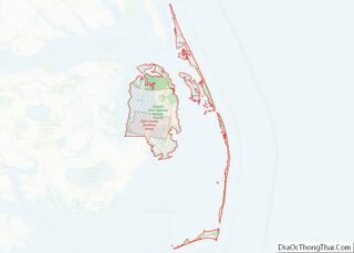
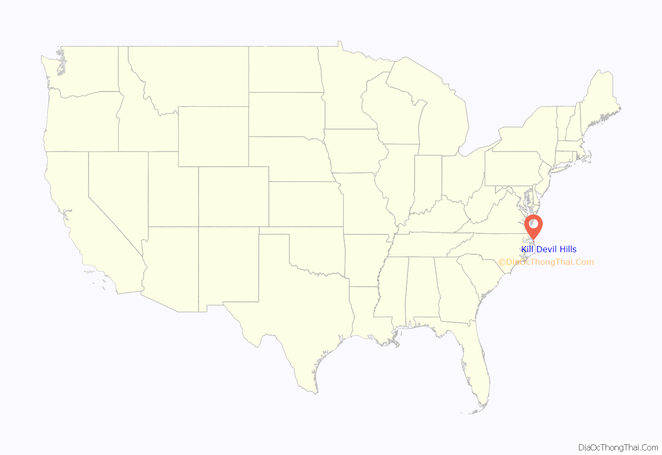
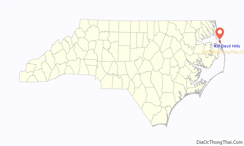
Kill Devil Hills location map. Where is Kill Devil Hills town?
History
Kill Devil Hills is the site of the Wright Brothers National Memorial, commemorating the siblings’ four powered airplane flights in the Wright Flyer on Thursday, December 17, 1903. Orville returned in 1911, and on October 25 he set a new world glider record, remaining in the air 10 minutes and 34 seconds, soaring against the wind with very little forward movement.
In addition to the Wright Brothers National Memorial, Sam’s Diner in the town is on the National Register of Historic Places, listed in 1999.
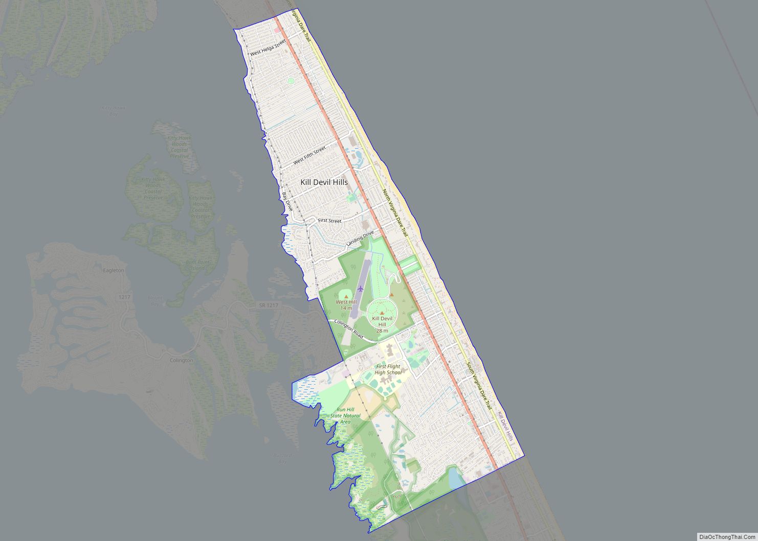
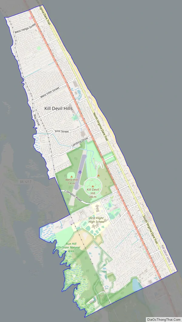
Kill Devil Hills Road Map
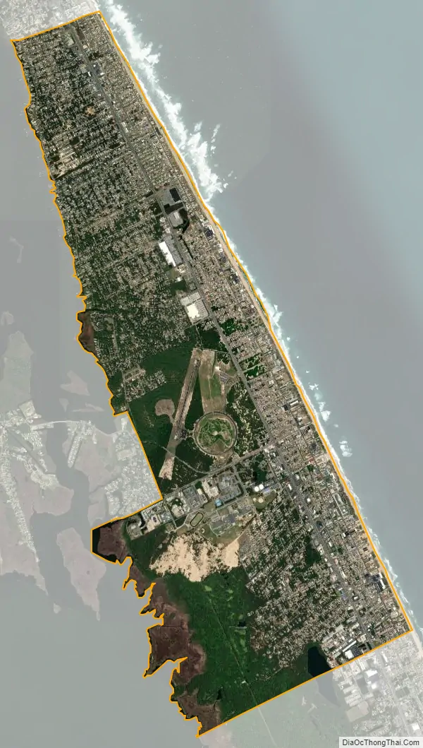
Kill Devil Hills city Satellite Map
Geography
Kill Devil Hills is located at 36°1′32″N 75°40′12″W / 36.02556°N 75.67000°W / 36.02556; -75.67000 (36.025448, −75.670105), on the barrier islands known as the Outer Banks.
According to the United States Census Bureau, the town has a total area of 5.5 square miles (14 km), of which 5.5 square miles (14 km) is land and 0.04 square miles (0.10 km) (0.36%) is water.
As a result of its climate and proximity to beaches, the population rises significantly in Kill Devil Hills and other towns located on the Outer Banks during the summer months.
Photographed from the Wright Brothers National Memorial
Panorama of Kill Devil Hills at Night
See also
Map of North Carolina State and its subdivision:- Alamance
- Alexander
- Alleghany
- Anson
- Ashe
- Avery
- Beaufort
- Bertie
- Bladen
- Brunswick
- Buncombe
- Burke
- Cabarrus
- Caldwell
- Camden
- Carteret
- Caswell
- Catawba
- Chatham
- Cherokee
- Chowan
- Clay
- Cleveland
- Columbus
- Craven
- Cumberland
- Currituck
- Dare
- Davidson
- Davie
- Duplin
- Durham
- Edgecombe
- Forsyth
- Franklin
- Gaston
- Gates
- Graham
- Granville
- Greene
- Guilford
- Halifax
- Harnett
- Haywood
- Henderson
- Hertford
- Hoke
- Hyde
- Iredell
- Jackson
- Johnston
- Jones
- Lee
- Lenoir
- Lincoln
- Macon
- Madison
- Martin
- McDowell
- Mecklenburg
- Mitchell
- Montgomery
- Moore
- Nash
- New Hanover
- Northampton
- Onslow
- Orange
- Pamlico
- Pasquotank
- Pender
- Perquimans
- Person
- Pitt
- Polk
- Randolph
- Richmond
- Robeson
- Rockingham
- Rowan
- Rutherford
- Sampson
- Scotland
- Stanly
- Stokes
- Surry
- Swain
- Transylvania
- Tyrrell
- Union
- Vance
- Wake
- Warren
- Washington
- Watauga
- Wayne
- Wilkes
- Wilson
- Yadkin
- Yancey
- Alabama
- Alaska
- Arizona
- Arkansas
- California
- Colorado
- Connecticut
- Delaware
- District of Columbia
- Florida
- Georgia
- Hawaii
- Idaho
- Illinois
- Indiana
- Iowa
- Kansas
- Kentucky
- Louisiana
- Maine
- Maryland
- Massachusetts
- Michigan
- Minnesota
- Mississippi
- Missouri
- Montana
- Nebraska
- Nevada
- New Hampshire
- New Jersey
- New Mexico
- New York
- North Carolina
- North Dakota
- Ohio
- Oklahoma
- Oregon
- Pennsylvania
- Rhode Island
- South Carolina
- South Dakota
- Tennessee
- Texas
- Utah
- Vermont
- Virginia
- Washington
- West Virginia
- Wisconsin
- Wyoming